oceanstar onboard decision support
TRANSCRIPT

OCEANSTAR®
ONBOARD DECISION SUPPORTThe Fugro Oceanstar® system enhances vessel safety and operational efficiency for the shipping industry using market leading satellite positioning technology.
SYSTEM BASICSOceanstar uses multiple high performance GNSS (Global Navigation Satellite System) receivers to calculate vessel position, attitude and movement with unsurpassed accuracy which allows for safer and more efficient operation.
High accuracy GNSS receivers are installed fore and aft to build a complete picture of vessel movement and attitude.
Oceanstar offer unprecedented accuracy and reliability for position and heading and forms a platform for a new range of innovative applications.
MULTIPLE FUNCTIONSIn addition to the type approved navigation functions, Oceanstar also offer:■ Berthing Assistance:
Oceanstar show distances to the quayside and approach speeds for safer, faster and more efficient berthing.
■ Trim and List: Precise trim and list is calculated and displayed as graphical indicators and timeseries plots.
■ Draught measurements: Accurate dynamic draught is calculated from wave radar measurements.
■ Hull bending and twisting: When 5 or more GNSS receivers are installed on a vessel the system can model hull deformations like hog/sag and twist.
WHEEL MARKOceanstar is wheel marked by Bureau Veritas and provides the following type approved functions:
■ GPS and GLONASS Position■ Transmitting Heading Device■ Rate of Turn Indicator■ Speed and Distance Measuring
Equipment
FUGRO.COM/OCEANSTAR 1

2
NAVIGATION SAFETYThe Oceanstar system is designed for general navigation and maneuvering, presenting a range of precise GNSS-based information on one compact screen.The multi-function displays are easily alternated based on user requirements.
APPROVED GNSS POSITIONINGOceanstar uses all-in-view GNSS positioning (GPS, GLONASS, BeiDou and Galileo) combined with sophisticated positioning technology. Oceanstar will guarantee 5-10 centimeter position accuracy globally (95%); compliant with IEC 61108.
APPROVED TRANSMITTING HEADING DEVICEOceanstar is tested and approved as a transmitting heading device (THD) in accordance with the IMO Resolution MSC 116 (73)/ ISO 22090-3.
Clients can replace mandatory magnetic compass with the Oceanstar THD (flag state approval required). Oceanstar also comply with the THD requirement under the IMO Polar code.
APPROVED RATE OF TURN INDICATORThis display function focuses on a highly visible rate of turn indicator and heading.It complies with presentation and other requirements laid out in the ISO 20672 standard for marine rate of turn indicators.
APPROVED SPEED AND DISTANCE DISPLAYThe system is designed and tested to the IEC 61023 standard for marine speed and distance measuring equipment.
DATA RECORDINGAll Oceanstar data is recorded and can be analysed by Fugro to review performance and investigate events.
STANDARD MARINE SYSTEMOceanstar complies with relevant marine standards. It interconnects with other systems using NMEA 0183 (IEC 61162) over serial or network connections and its hardware conforms to the IEC 60945 environmental standard.
Oceanstar has a standard system of visual and audible alarms that can be connected to a central alarm management system.The core system information displays include: ■ Heading ■ Ground speed■ Transversal speed at the bow and stern■ Distance travelled
OCEANSTAR
Avoid incidents with the Oceanstar® system
FUGRO.COM/OCEANSTAR 3
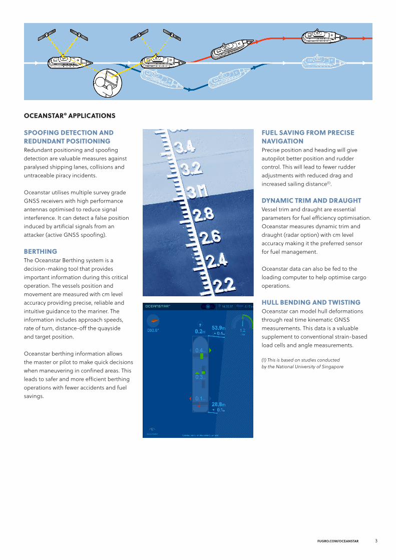
SPOOFING DETECTION ANDREDUNDANT POSITIONING Redundant positioning and spoofing detection are valuable measures against paralysed shipping lanes, collisions and untraceable piracy incidents.
Oceanstar utilises multiple survey grade GNSS receivers with high performance antennas optimised to reduce signal interference. It can detect a false position induced by artificial signals from an attacker (active GNSS spoofing).
BERTHINGThe Oceanstar Berthing system is a decision-making tool that provides important information during this critical operation. The vessels position and movement are measured with cm level accuracy providing precise, reliable and intuitive guidance to the mariner. The information includes approach speeds, rate of turn, distance-off the quayside and target position.
Oceanstar berthing information allows the master or pilot to make quick decisions when maneuvering in confined areas. This leads to safer and more efficient berthing operations with fewer accidents and fuel savings.
OCEANSTAR® APPLICATIONS
FUEL SAVING FROM PRECISE NAVIGATIONPrecise position and heading will give autopilot better position and rudder control. This will lead to fewer rudder adjustments with reduced drag and increased sailing distance(1).
DYNAMIC TRIM AND DRAUGHTVessel trim and draught are essential parameters for fuel efficiency optimisation. Oceanstar measures dynamic trim and draught (radar option) with cm level accuracy making it the preferred sensor for fuel management.
Oceanstar data can also be fed to the loading computer to help optimise cargo operations.
HULL BENDING AND TWISTINGOceanstar can model hull deformations through real time kinematic GNSS measurements. This data is a valuable supplement to conventional strain-based load cells and angle measurements.
(1) This is based on studies conducted by the National University of Singapore

© FU
GRO
10 / 2020
4
FUGRO.COM/CONTACTS
OCEANSTAR® INTEGRATIONOceanstar can be integrated with several recognised navigation and bridge systems. For example, Wärtsilä NACOS and Sperry VisionMaster can display berthing information on selected bridge screens including conning and bridge wings.
It can also be interconnected with the NAPA loading computer and other fuel optimisation systems.
Designed and built using quality components, the system does not require any maintenance from the ship crew.
Oceanstar require a running G4 service subscription from Fugro in order to provide the vessel with a high accuracy positioning solution as well as running the applications suit.
PRECISE POINT POSITIONINGPrecise point positioning (PPP) performs precise position determination using a single global navigation satellite system (GNSS) receiver to:■ Eliminate the need for base stations
with known coordinates or differencing of GNSS observations between receivers.
■ Provide high positioning accuracy by using carrier phase observations as the principal observable for position determination. This differs from standard point positioning (SPP) which uses only code or phase-smoothed code observations.
■ PPP needs accurate satellite orbit and clock information to mitigate orbit and clock errors.
FUGRO SATELLITE POSITIONINGFor over 30 years Fugro has provided innovative, robust and cost-effective positioning services to the maritime industry.
We support your maritime operations with a wide range of GNSS based positioning and correction services generated from a proprietary global network of reference stations where all GNSS satellites are monitored.
Using data from this network we provide thousands of vessels with an augmented and corrected precise point positioning (PPP) that is significantly more accurate than what can be achieved with standard GPS receivers.
Correction messages are transmitted to vessels via a robust, fault-tolerant broadcast infrastructure, providing precise, reliable, real-time satellite positioning that are centimeter accurate worldwide.