mountain bike tour around the priedröf english
DESCRIPTION
From the district of Bach in Bad Kleinkirchheim, the route runs to the Spitzeck via St. Oswald and over the Brunnachhöhe ridge to the St. Oswalder Bockhütte. This medium-difficult tour requires plenty of stamina! If you prefer to save yourself the 500 m climb, you can take the Nationalparkbahn cable car to the top (free with the Kärnten Card). The descent follows single trails and footpaths in parts to the Petodnighütte. Then it runs along forested and some asphalt trails to St. Peter and Obertweng and via a woodland path back to Bad Kleinkirchheim.TRANSCRIPT

Mountainbiking
Mountain bike tour around the Priedröf
1
Experience
Landscape
Length 31,3 kmAltitude 1236 m
1235 m
Duration 8:27-6:00 h
Difficulty difficult
Stamina
Technique
recommended Seasons J F M A M J J A S O N D
Map
Bas
ics:
out
door
acti
ve K
arto
graf
ie, G
erm
any:
Geo
info
rmat
ione
n ©
Ver
mes
sung
sver
wal
tung
en d
er B
unde
slän
der
und
BK
G (w
ww
.bkg
.bun
d.de
), A
ustr
ia: ©
199
6-20
12 N
AV
TEQ
. All
rig
hts
rese
rved
., It
aly:
© 1
994-
2012
NA
VTE
Q. A
ll r
ight
s re
serv
ed.,
Swit
zerl
and:
Geo
data
© s
wis
stop
o (5
7040
0273
5)

Mountainbiking
Mountain bike tour around the Priedröf
2
Road surfaceUnknown 31.3
km
Description
SummarySie ist das Aushängeschild des vielfältigenNockbike-Tourenangebots mit allem, was ein Biker-Herz begehrt.
DescriptionFrom the district of Bach in Bad Kleinkirchheim, theroute runs to the Spitzeck via St. Oswald and overthe Brunnachhöhe ridge to the St. OswalderBockhütte. This medium-difficult tour requiresplenty of stamina! If you prefer to save yourself the500 m climb, you can take the Nationalparkbahncable car to the top (free with the Kärnten Card).The descent follows single trails and footpaths inparts to the Petodnighütte. Then it runs alongforested and some asphalt trails to St. Peter andObertweng and via a woodland path back to BadKleinkirchheim.
Starting point of the tourBad Kleinkirchheim, Tourism information (1021 hm)
Directions
Safety informationAuf der Strecke befinden sich mehrere Gatter, diesebitte immer schließen!
LiteratureKompass Rad- und Mountainbikekarte KärntnerNockberge
Maps
Kompass Rad- und Mountainbikekarte KärntnerNockberge
ParkingMaibrunnparkplatz, near to the hotel Kolmhof
Public transportBus
Further information/linkswww.badkleinkirchheim.atwww.nockbike.at
End point of the tourBad Kleinkirchheim, Tourism information (1021 hm)
Properties
Single trail/Free ride Nice viewsRound tour With refreshment
stopsMountain railwayascent/descent
Points of Interest
Tipp
Brunnachhof
Rosennockstraße 56
9546 Bad Kleinkirchheim
04240/477 www.gasthof-hinteregger.at
Tipp
Petodnighütte
Langalmtal 6
9545 Radenthein
+43 (0) 699 10322801
Mountainbiking
Mountain bike tour around the Priedröf
3
360°C Rundgang Bad Kleinkirchheim/Nockberge
Dorfstraße 30
9546 Bad Kleinkirchheim
+43 4240 8212
Bad Kleinkirchheim Tourismus Marketing GmbH
Dorfstraße 30
9546 Bad Kleinkirchheim
04240/8212
Wanderhotel Restaurant Berghof
Rosennockstraße 55
9546 Bad Kleinkirchheim
04240/479
Panorama-Restaurant Nock IN
St. Oswald/Bergstation Brunnach
9546 Bad Kleinkirchheim
04240/20324
St. Oswalder Bockhütte
Rosennockstraße 4
9546 Bad Kleinkirchheim
0664/4103186
Erlacher Haus
Kaning 68
9545 Radenthein
0043 (0)4246-4460
Aichholzerhütte
9545
+43 (4246) 3483
Author and source
Author Christian Miklautsch
created 27.08.2010
changed 15.07.2013
Source Bad Kleinkirchheim Tourismus
Pictures
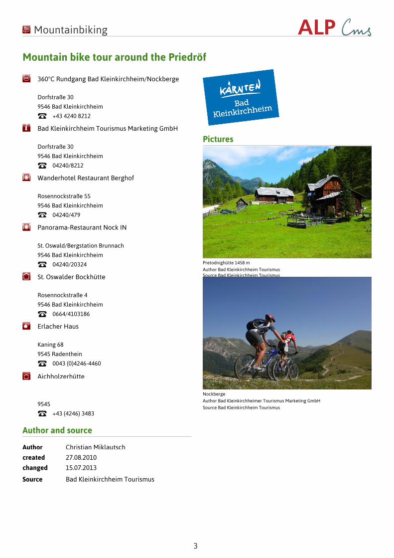
Pretodnighütte 1458 m
Author Bad Kleinkirchheim TourismusSource Bad Kleinkirchheim Tourismus
Nockberge
Author Bad Kleinkirchheimer Tourismus Marketing GmbH
Source Bad Kleinkirchheim Tourismus