mobility approach of multisat webservice
DESCRIPTION
Mobility Approach of MultiSat WebService. Dipl.-Ing. Martin Ruhé German Aerospace Center (DLR) Institute of Transportation Research Workshop “Satellite based Traffic Measurement” Berlin, September 9 th 2002. Why Space Born ?. - PowerPoint PPT PresentationTRANSCRIPT

Dipl.-Ing. Martin Ruhé
German Aerospace Center (DLR)Institute of Transportation Research
Workshop “Satellite based Traffic Measurement”Berlin, September 9th 2002
Mobility Approach of MultiSat WebService

Why Space Born?
GPS
Positioningfor Navigation
Eutelsat
Transmission of conventionaltraffic information
Iridium
Mobilecommunicationglobal available
Envisat
Earth observationto produce digital maps
Space flight technology;
already establishedfor transportation
systems

Technical Motivation
km/h
• Modern methods of remote sensing show a realistic chance for space born traffic data collection.• Today it is possible to build up an optical camera with a resolution of better than 2 meters by a weight roundabout 4 kg and a frame size of 4 km.• It is possible to measure (airborne) the speed of vehicles with radar technology.

Sensor fusion for Traffic Data by CCTV
Spatial Dimension
• Traffic has always a spatial dimension. Local accidents spread in all directions.
• The stationary sensors yield only local measurements.
• The transformation of local measurements to the transport network is always incorrect.
• The traffic forecast needs traffic measurements with connection to spatial information.
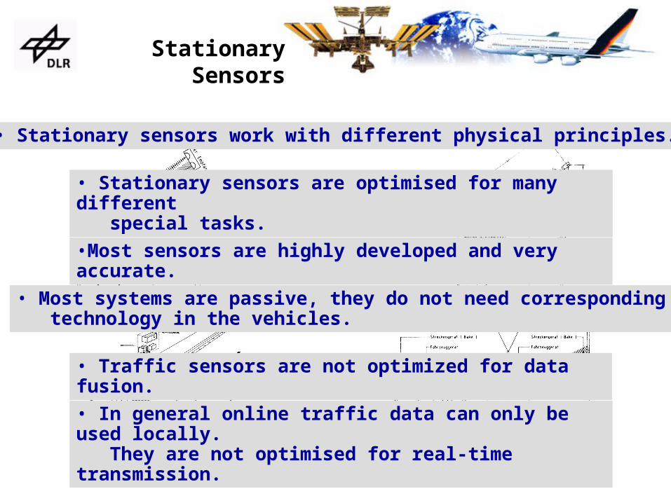
Stationary Sensors
• In general online traffic data can only be used locally. They are not optimised for real-time transmission.
• Traffic sensors are not optimized for data fusion.
• Most systems are passive, they do not need corresponding technology in the vehicles.
•Most sensors are highly developed and very accurate.
• Stationary sensors are optimised for many different special tasks.
• Stationary sensors work with different physical principles.

Comparison of Costs
FCD = Floating Car Data
EO = Earth Observation

Comparison of Costs
Cross Border Transportation -The new challenge fortransportation management

Interviews of Specialists
The core questions:
• Is your company presently exploiting satellite based information resources?
• What would be the most important requirements for a future use of satellites?
• Which of the proposed MultiSat WebService features are of any importance to your company?
• If interested in purchasing information, what would be your preferred method of payment?
Logistics
Automotive industries
Traffic management
Intelligenttransportation systems
Research
Consultants
Local authorities andtransportation departments
The interview partners have been selectedfrom business range of:

Primary Markets

Summary
The traffic forecast needs traffic measurements
connected with borderless and spatial information.
The system design gives the opportunity to
configure the
space system according to further customer needs.
The market analysis has shown a promising market
demand and volume for MultiSat WebService. We all have to work on the topic of space born traffic data measurement because it is going to be a future theme in
transportation research.