media lab presentation
TRANSCRIPT
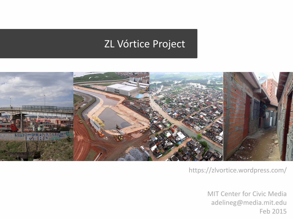
ZL Vórtice Project
https://zlvortice.wordpress.com/
MIT Center for Civic Media [email protected]
Feb 2015
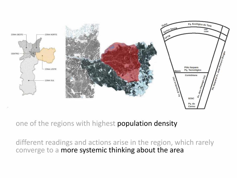
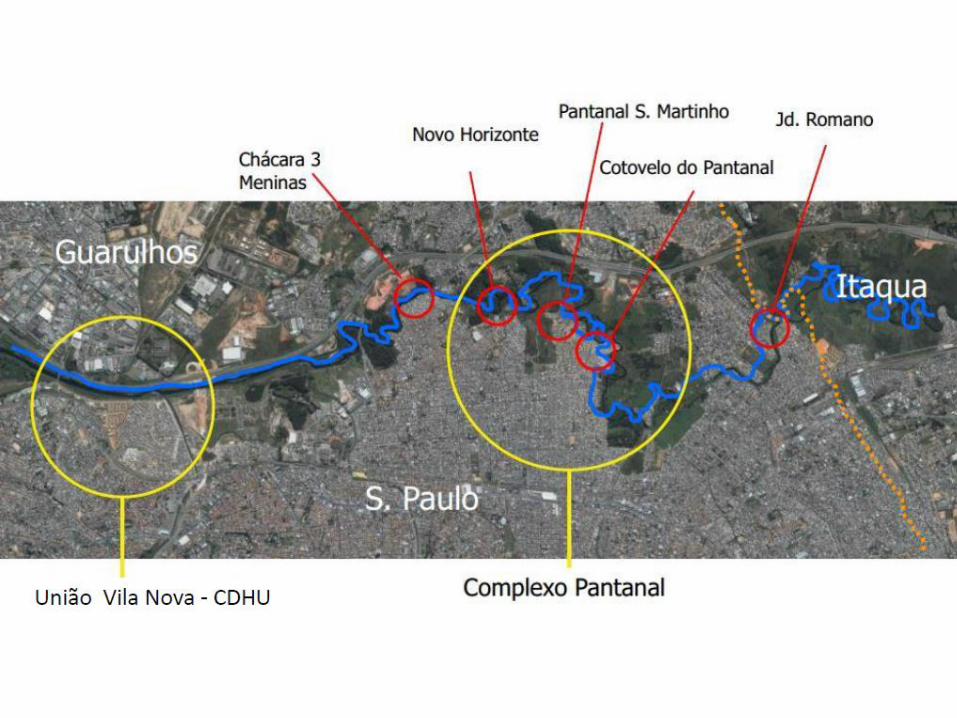
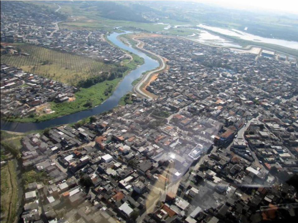
one of the regions with highest population density different readings and actions arise in the region, which rarely converge to a more systemic thinking about the area
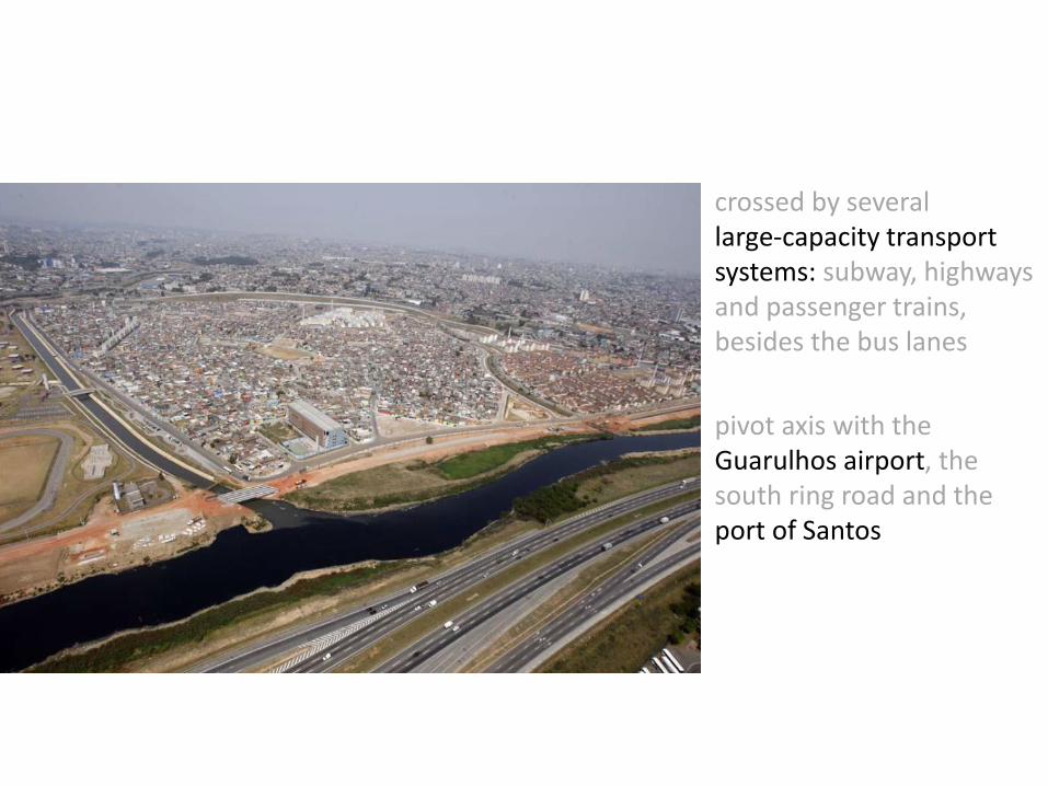
- crossed by several large-capacity transport systems: subway, highways and passenger trains, besides the bus lanes
- pivot axis with the Guarulhos airport, the south ring road and the port of Santos
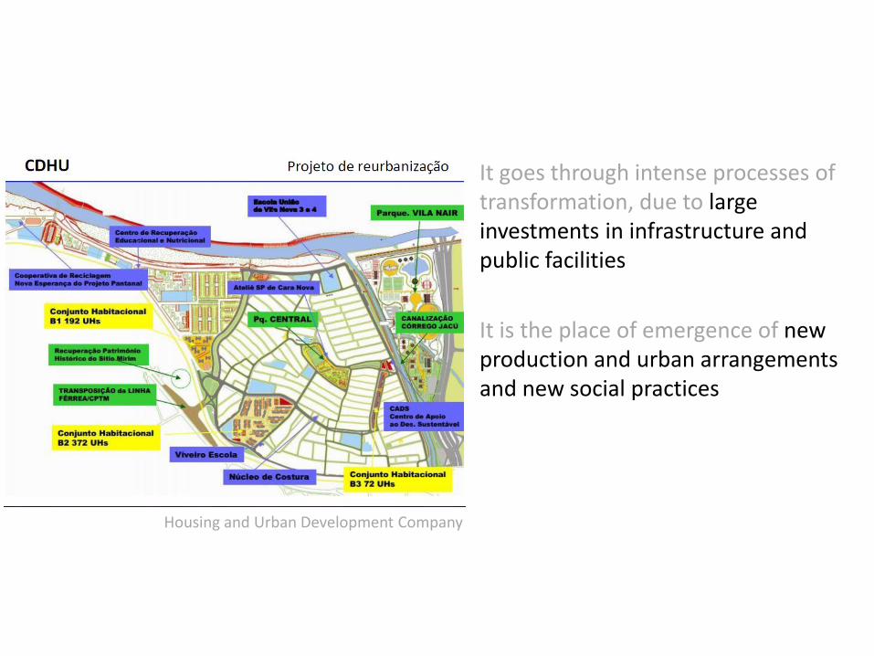
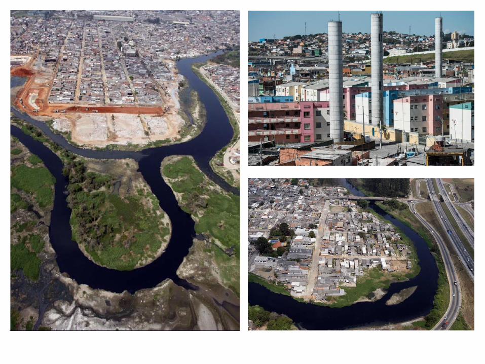
It goes through intense processes of transformation, due to large investments in infrastructure and public facilities
It is the place of emergence of new production and urban arrangements and new social practices
Housing and Urban Development Company
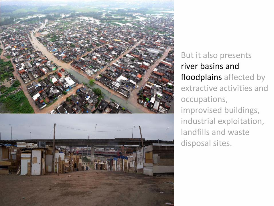
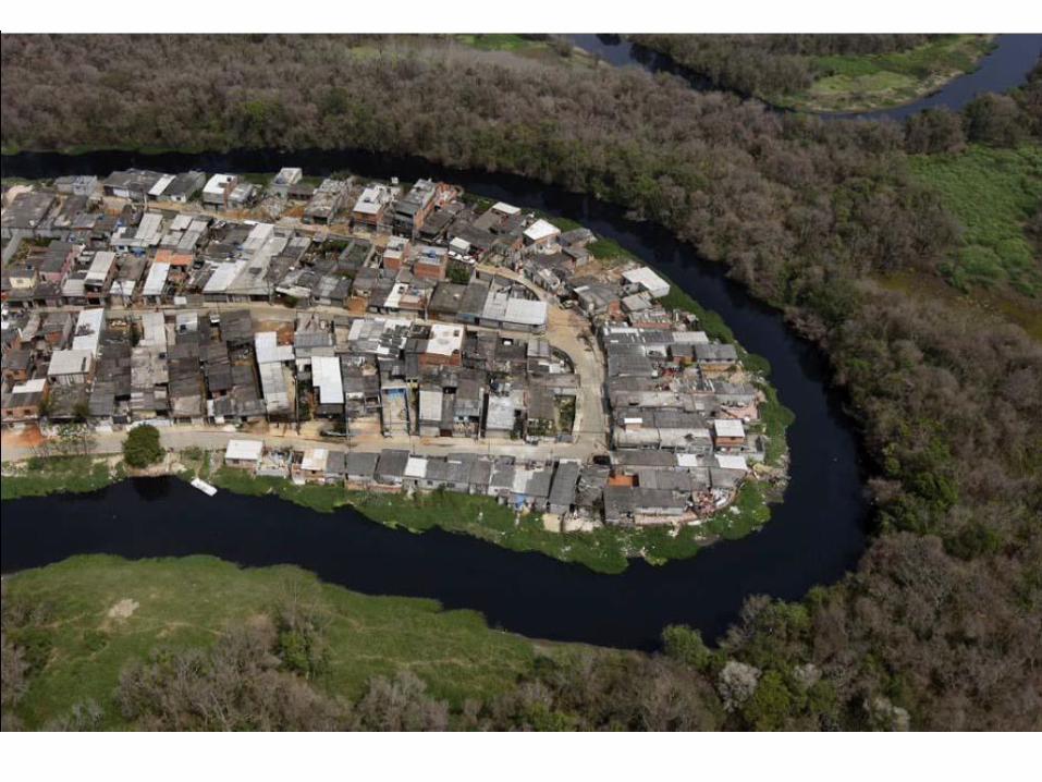
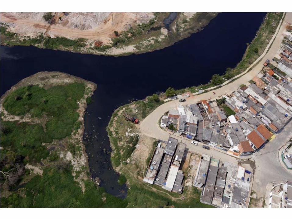
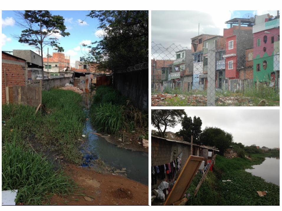
But it also presents river basins and floodplains affected by extractive activities and occupations, improvised buildings, industrial exploitation, landfills and waste disposal sites.

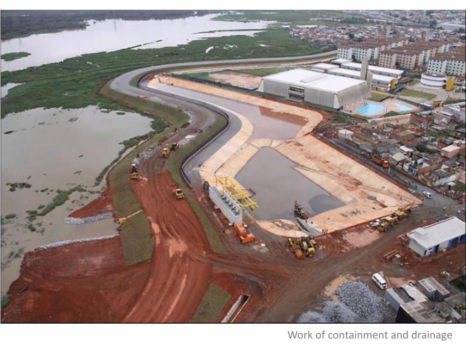
Work of containment and drainage
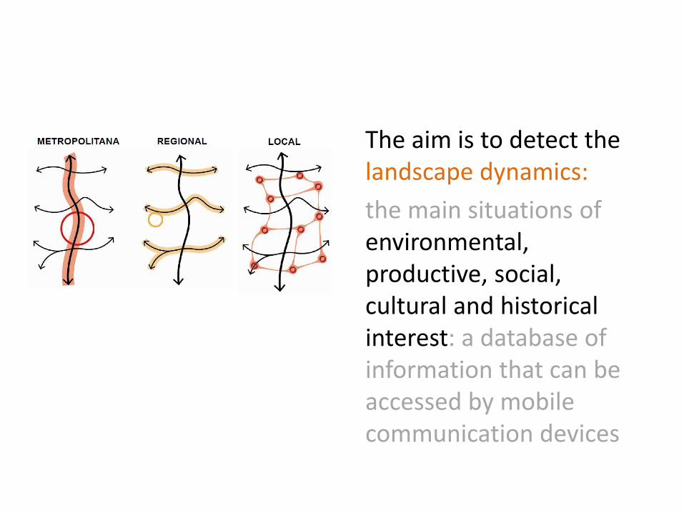
The aim is to detect the landscape dynamics:
the main situations of environmental, productive, social, cultural and historical interest: a database of information that can be accessed by mobile communication devices
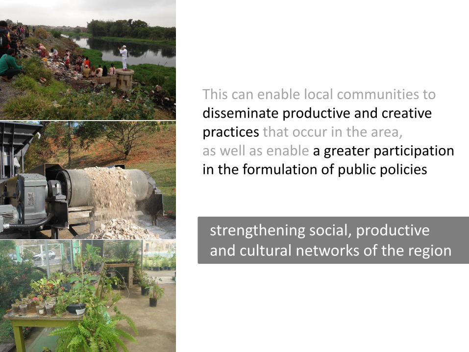
This can enable local communities to disseminate productive and creative practices that occur in the area, as well as enable a greater participation in the formulation of public policies
strengthening social, productive and cultural networks of the region
Methods
- Urban and socioeconomic mapping;
- Sociocultural mapping;
- Workshops;
- ´Worksites´ (canteiros de obras)
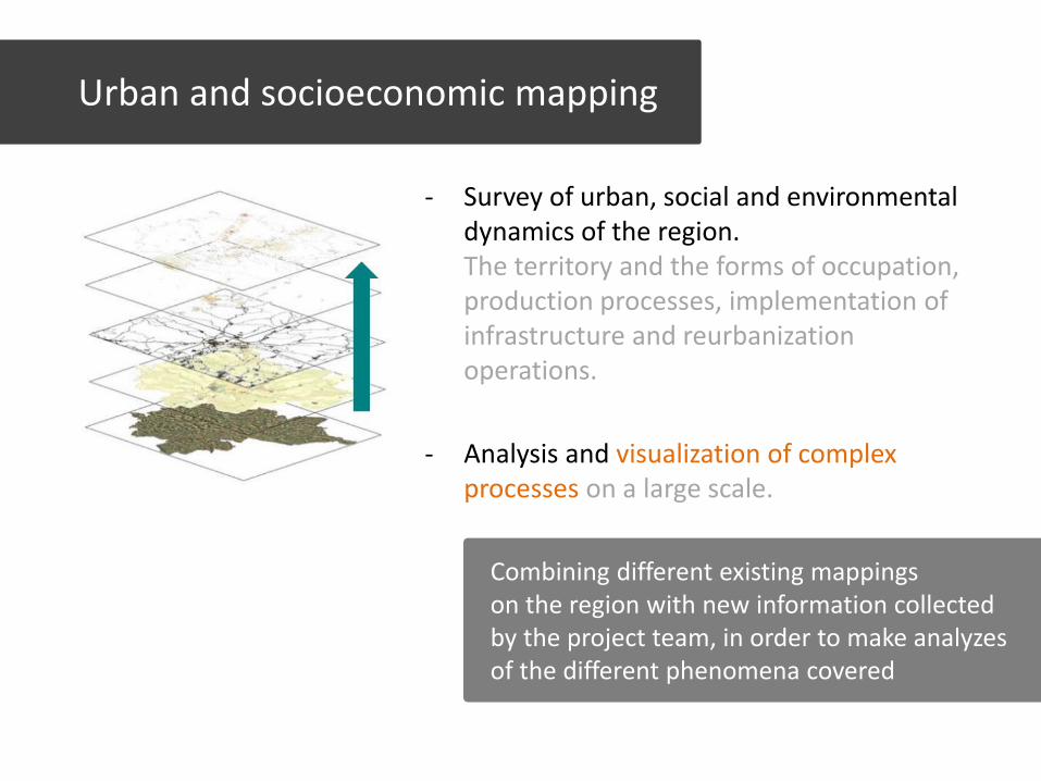
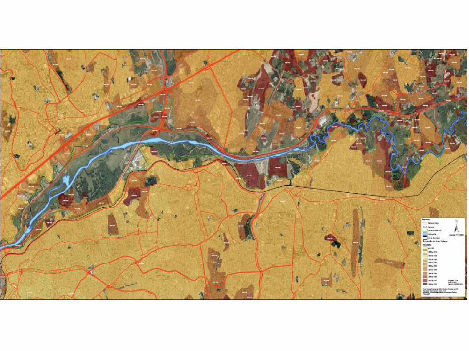
- Survey of urban, social and environmental dynamics of the region. The territory and the forms of occupation, production processes, implementation of infrastructure and reurbanization operations.
- Analysis and visualization of complex processes on a large scale.
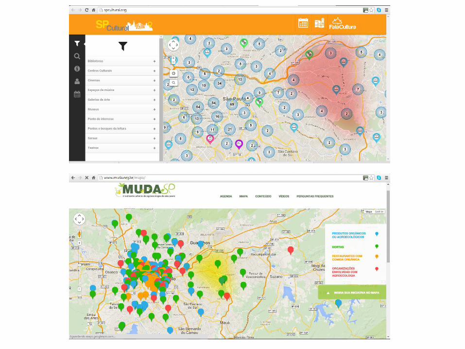
Urban and socioeconomic mapping
Combining different existing mappings on the region with new information collected by the project team, in order to make analyzes of the different phenomena covered
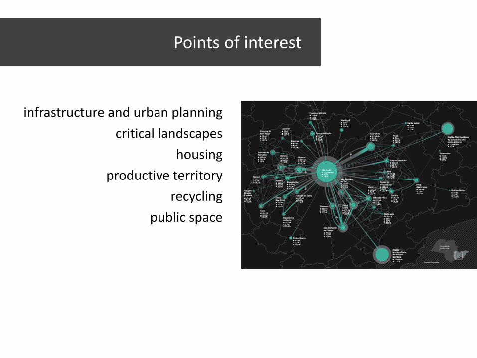
Points of interest
infrastructure and urban planning
critical landscapes
housing
productive territory
recycling
public space
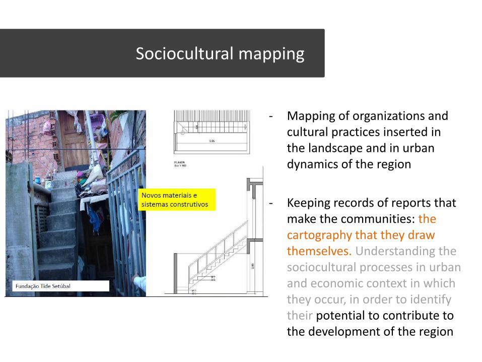
- Mapping of organizations and cultural practices inserted in the landscape and in urban dynamics of the region
- Keeping records of reports that make the communities: the cartography that they draw themselves. Understanding the sociocultural processes in urban and economic context in which they occur, in order to identify their potential to contribute to the development of the region
Sociocultural mapping
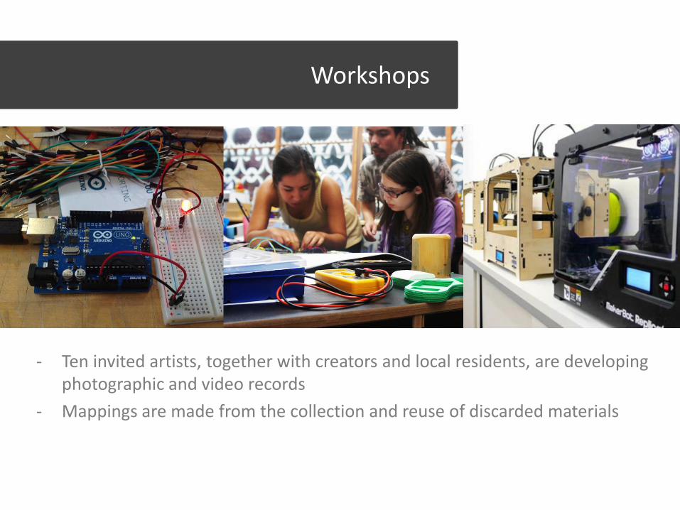
- Ten invited artists, together with creators and local residents, are developing photographic and video records
- Mappings are made from the collection and reuse of discarded materials
Workshops
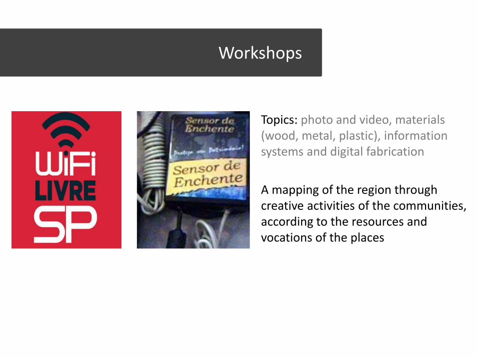
Topics: photo and video, materials (wood, metal, plastic), information systems and digital fabrication
A mapping of the region through creative activities of the communities, according to the resources and vocations of the places
Workshops
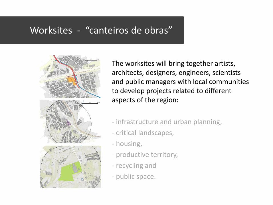
The worksites will bring together artists, architects, designers, engineers, scientists and public managers with local communities to develop projects related to different aspects of the region:
- infrastructure and urban planning,
- critical landscapes,
- housing,
- productive territory,
- recycling and
- public space.
Worksites - “canteiros de obras”
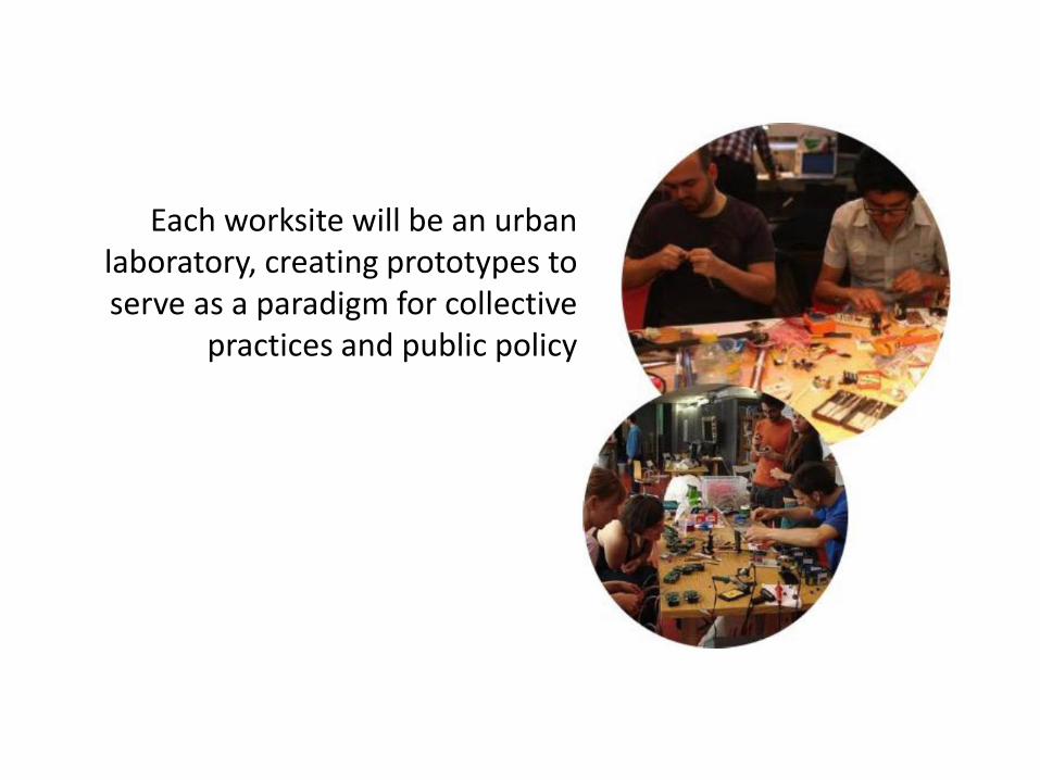
Each worksite will be an urban laboratory, creating prototypes to serve as a paradigm for collective
practices and public policy
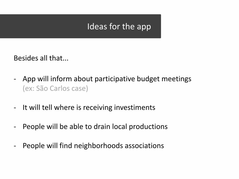
Besides all that...
Ideas for the app
- App will inform about participative budget meetings (ex: São Carlos case) - It will tell where is receiving investiments
- People will be able to drain local productions
- People will find neighborhoods associations
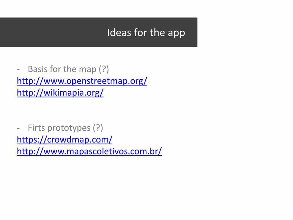
Ideas for the app
- Basis for the map (?) http://www.openstreetmap.org/ http://wikimapia.org/
- Firts prototypes (?) https://crowdmap.com/ http://www.mapascoletivos.com.br/
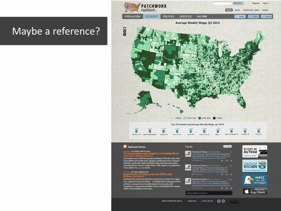
Maybe a reference?
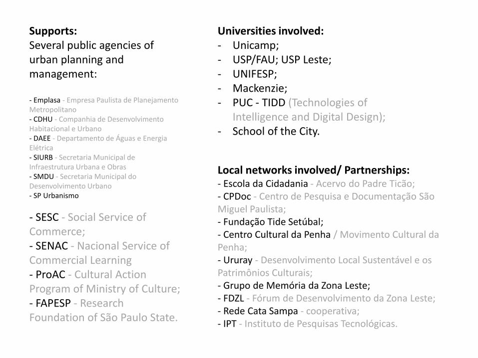
Supports: Several public agencies of urban planning and management: - Emplasa - Empresa Paulista de Planejamento Metropolitano - CDHU - Companhia de Desenvolvimento Habitacional e Urbano - DAEE - Departamento de Águas e Energia Elétrica - SIURB - Secretaria Municipal de Infraestrutura Urbana e Obras - SMDU - Secretaria Municipal do Desenvolvimento Urbano - SP Urbanismo
- SESC - Social Service of Commerce; - SENAC - Nacional Service of Commercial Learning - ProAC - Cultural Action Program of Ministry of Culture; - FAPESP - Research Foundation of São Paulo State.
Universities involved: - Unicamp; - USP/FAU; USP Leste; - UNIFESP; - Mackenzie; - PUC - TIDD (Technologies of
Intelligence and Digital Design); - School of the City.
Local networks involved/ Partnerships: - Escola da Cidadania - Acervo do Padre Ticão; - CPDoc - Centro de Pesquisa e Documentação São Miguel Paulista; - Fundação Tide Setúbal; - Centro Cultural da Penha / Movimento Cultural da Penha; - Ururay - Desenvolvimento Local Sustentável e os Patrimônios Culturais; - Grupo de Memória da Zona Leste; - FDZL - Fórum de Desenvolvimento da Zona Leste; - Rede Cata Sampa - cooperativa; - IPT - Instituto de Pesquisas Tecnológicas.