maps displaying spatial data. why do we need maps? to locate places on the surface of the earth
Post on 21-Dec-2015
217 views
TRANSCRIPT

MapsDisplaying Spatial
Data

Why do we need maps?
To locate places on the surface of the earth

To visualize what we can’t see
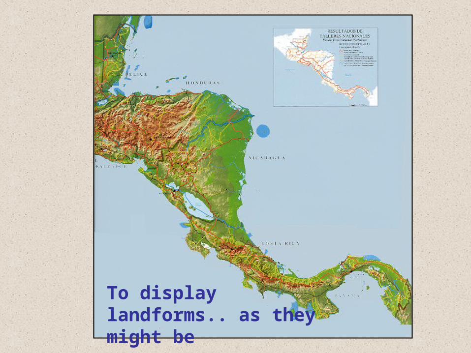
To display landforms.. as they might be

To display landforms.. with statistics

To show roads and citiesTo show roads and cities

To show buildings and improvements

..and routes of transportation and travel

To define borders

But . . . .
Maps are not just about geography . . . .

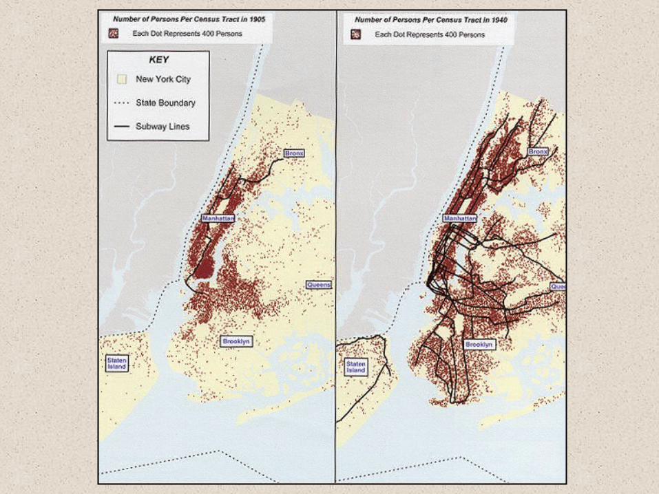
Maps can help us look at change over time.

Maps can help us make comparisons.
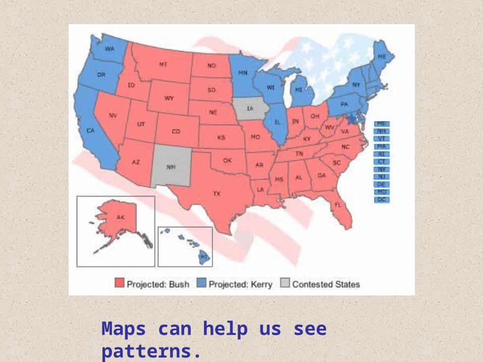
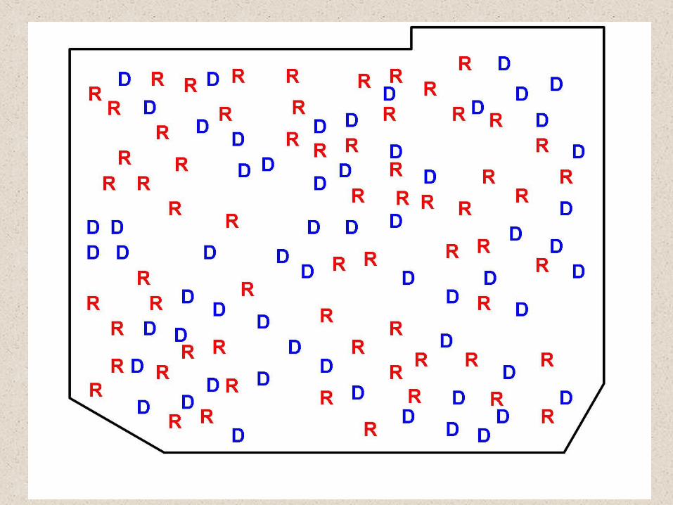
Maps can help us see patterns.

Maps can help us plan

Maps can help us explain.
Salem Witch Trial Incidents

Maps can help us solve complex problems.


We can overlay maps to see
where different factors overlap
one another

Looking at information spatially can give us a better understanding of all content areas.

A health example from the 1850’s

With regions defined one way, the area around the Broad Street pump is clearly the most heavily infected.
Defined slightly differently, the distribution looks more even.
Yet another definition of regions suggests that the most heavily infected areas are not even near the pump.
Analyzing the data accurately is critical.


Maps can help us to think critically:
• Explore
• Compare
• Analyze
• Predict
• Plan
• Problem-solve
• Measure
• Calculate
• Estimate
• Evaluate
• Design
• Explain