mapping historical photographs for the common
TRANSCRIPT
Mapping Historical Photos for the Common Good.
Where2.0 April 1, 2010 Jon Voss, Barbara Hui
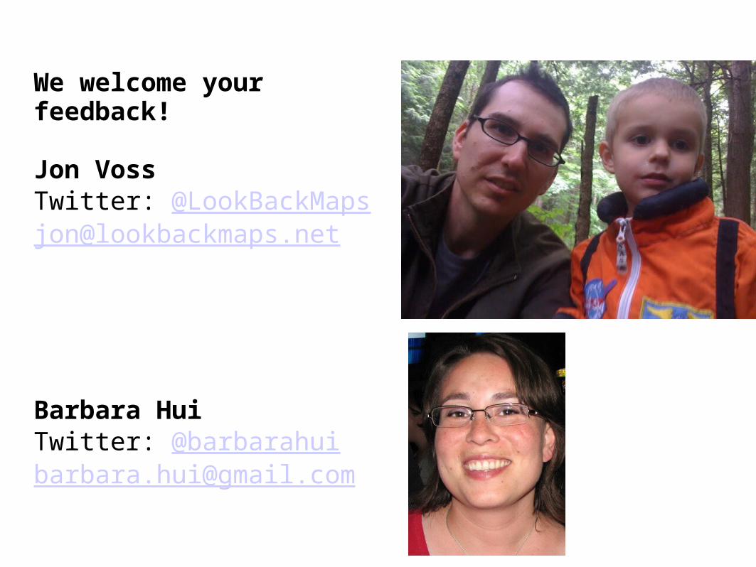
We welcome your feedback!
Jon VossTwitter: @[email protected]
Barbara HuiTwitter: @[email protected]
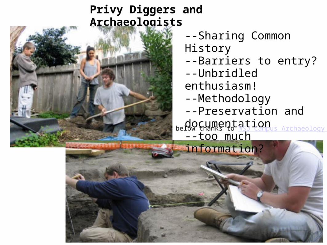
Privy Diggers and Archaeologists
--Sharing Common History --Barriers to entry?--Unbridled enthusiasm!--Methodology--Preservation and documentation--too much information?
below thanks to MSU Campus Archaeology Prog
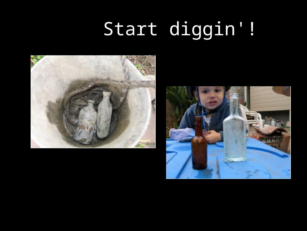
Start diggin'!
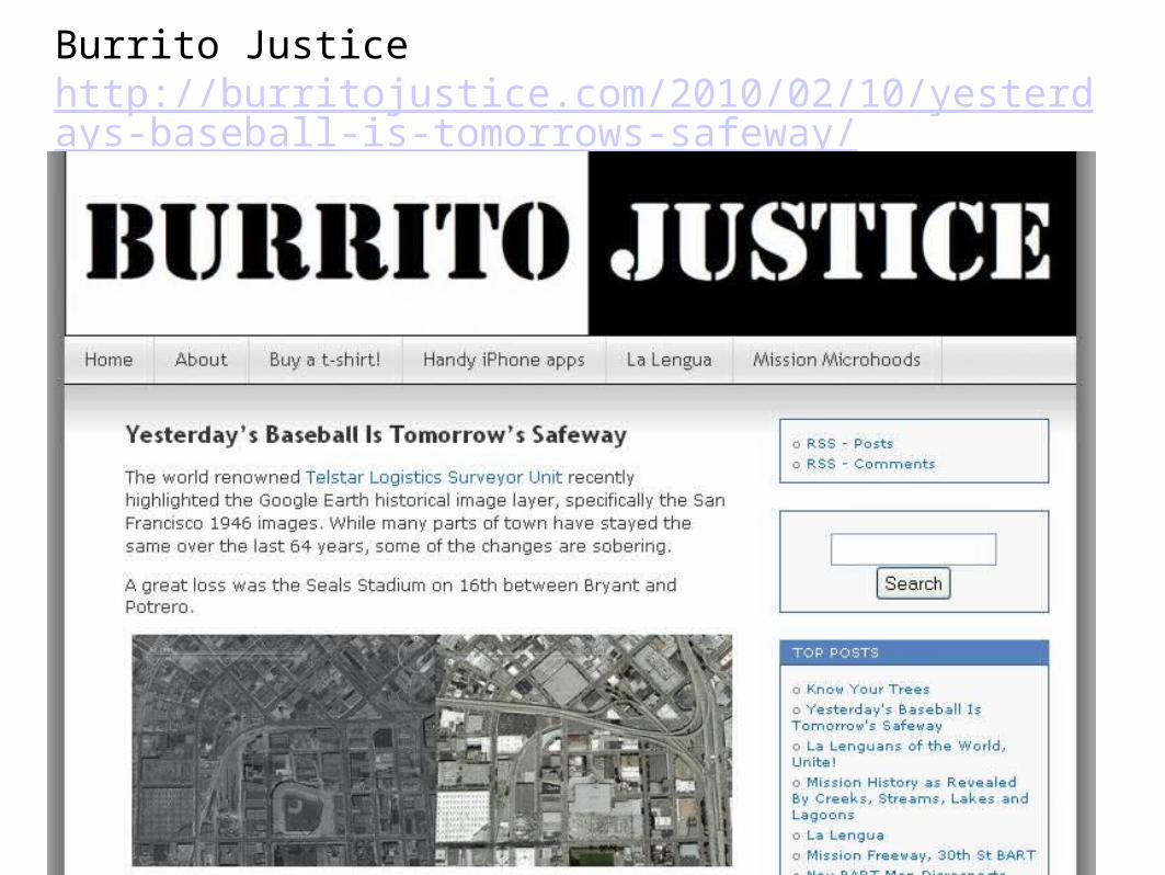
Burrito Justice http://burritojustice.com/2010/02/10/yesterdays-baseball-is-tomorrows-safeway/
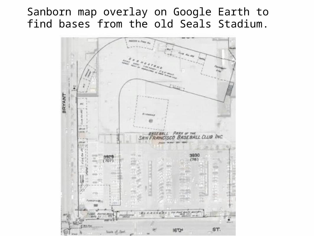
Sanborn map overlay on Google Earth to find bases from the old Seals Stadium.
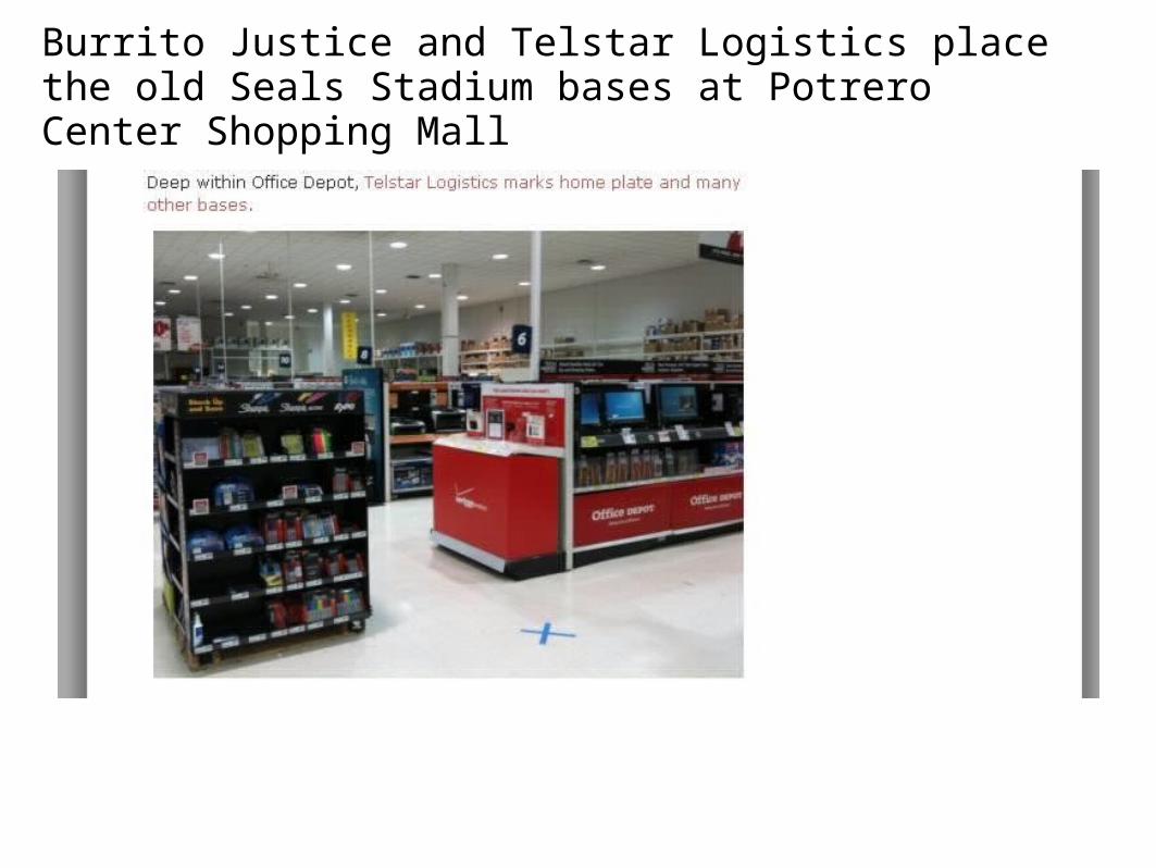
Burrito Justice and Telstar Logistics place the old Seals Stadium bases at Potrero Center Shopping Mall
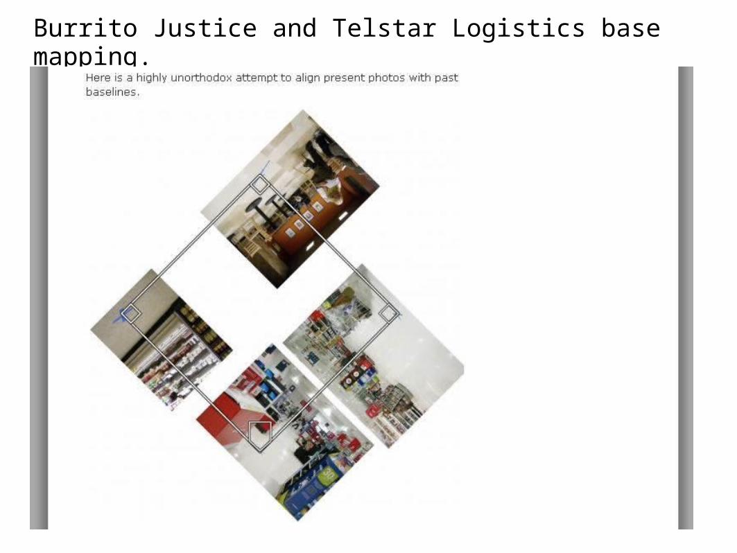
Burrito Justice and Telstar Logistics base mapping.
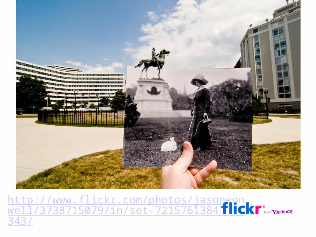
http://www.flickr.com/photos/jasonepowell/3738715079/in/set-72157613841045343/
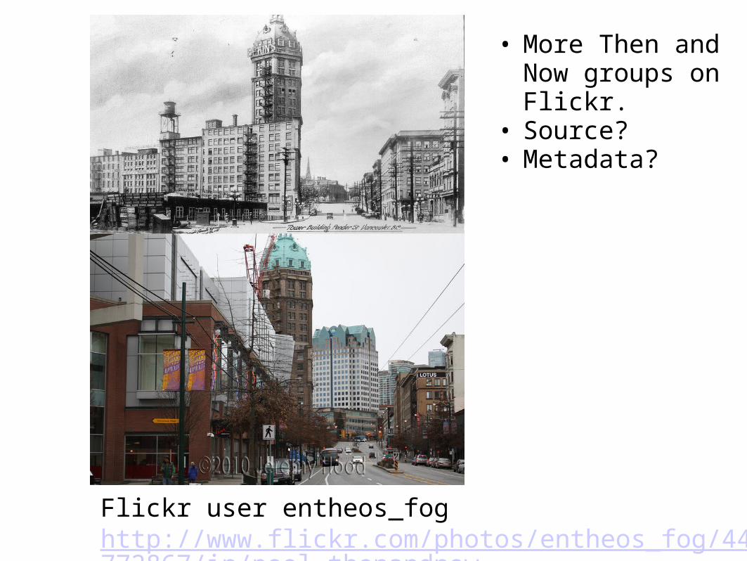
Flickr user entheos_fog http://www.flickr.com/photos/entheos_fog/4475772867/in/pool-thenandnow
• More Then and Now groups on Flickr.
• Source?• Metadata?
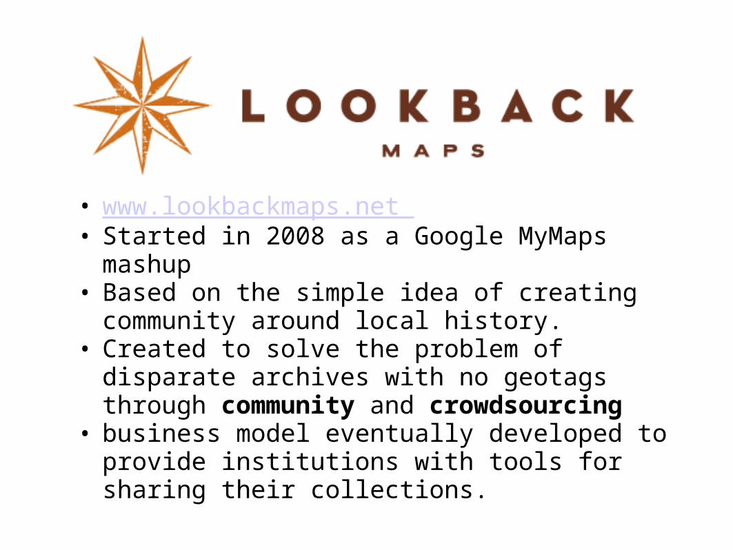
• www.lookbackmaps.net • Started in 2008 as a Google MyMaps mashup • Based on the simple idea of creating community
around local history.• Created to solve the problem of disparate archives
with no geotags through community and crowdsourcing
• business model eventually developed to provide institutions with tools for sharing their collections.
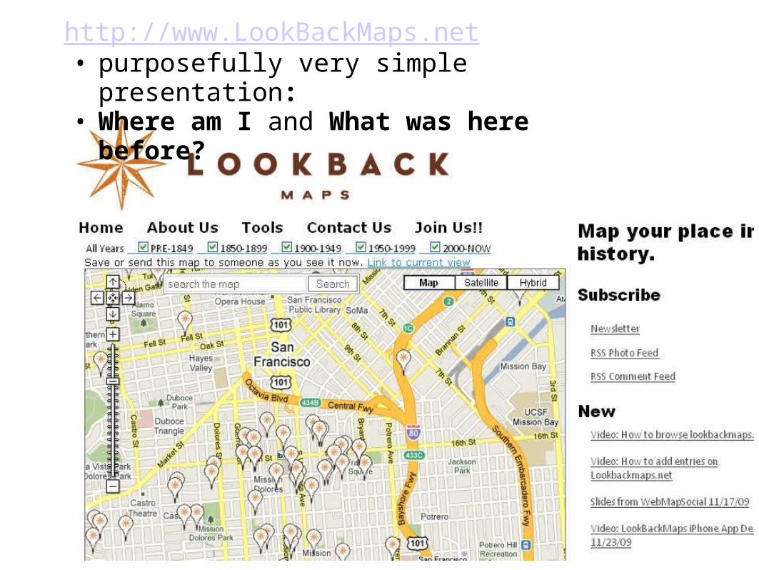
http://www.LookBackMaps.net• purposefully very simple presentation:• Where am I and What was here before?
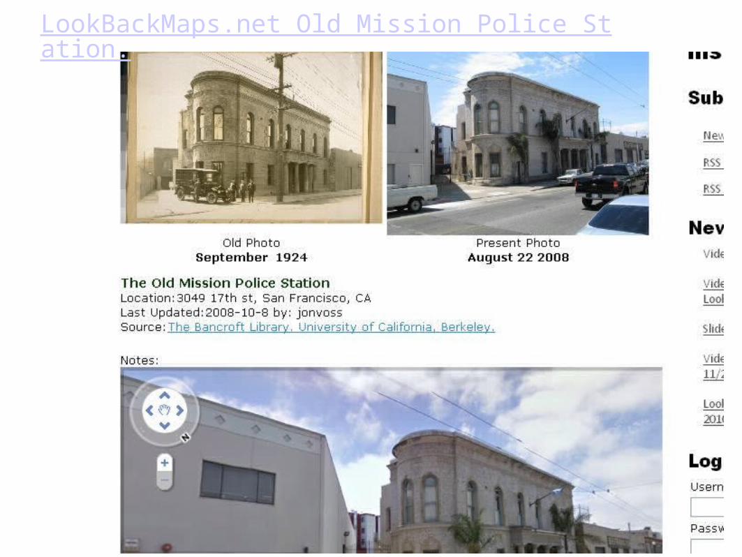
LookBackMaps.net Old Mission Police Station.
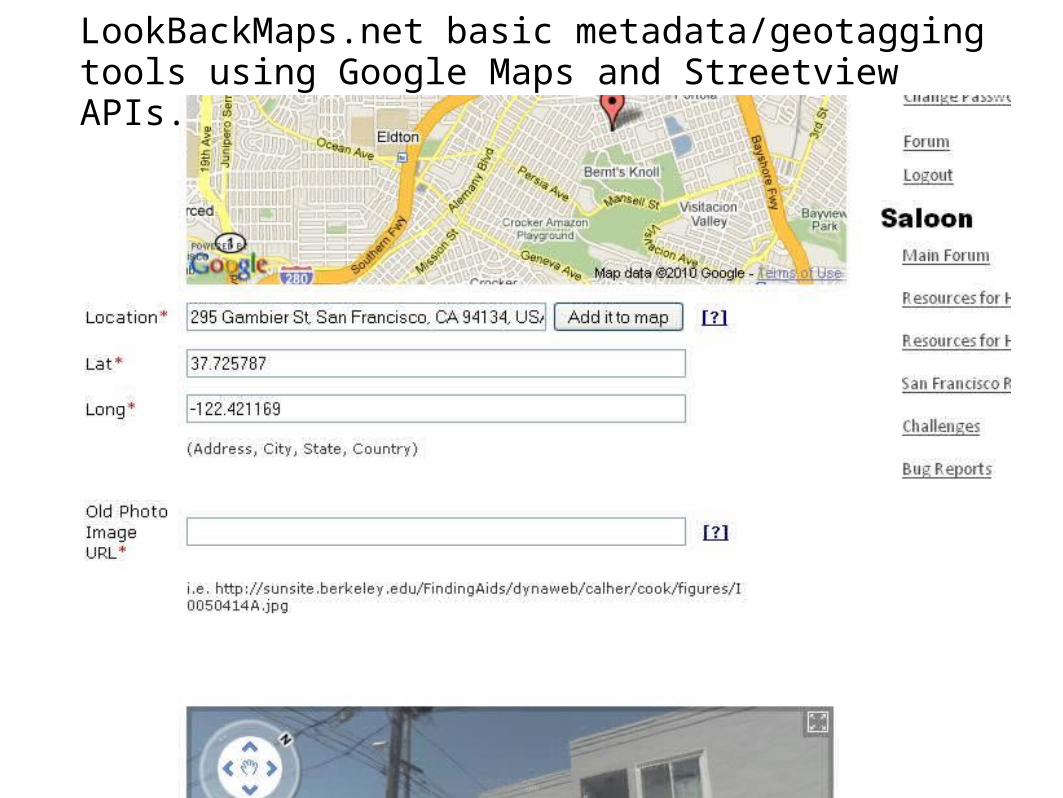
LookBackMaps.net basic metadata/geotagging tools using Google Maps and Streetview APIs.
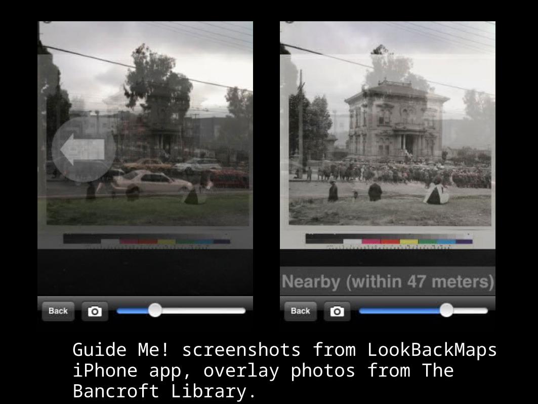
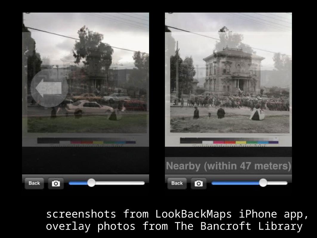
Guide Me! screenshots from LookBackMaps iPhone app, overlay photos from The Bancroft Library.
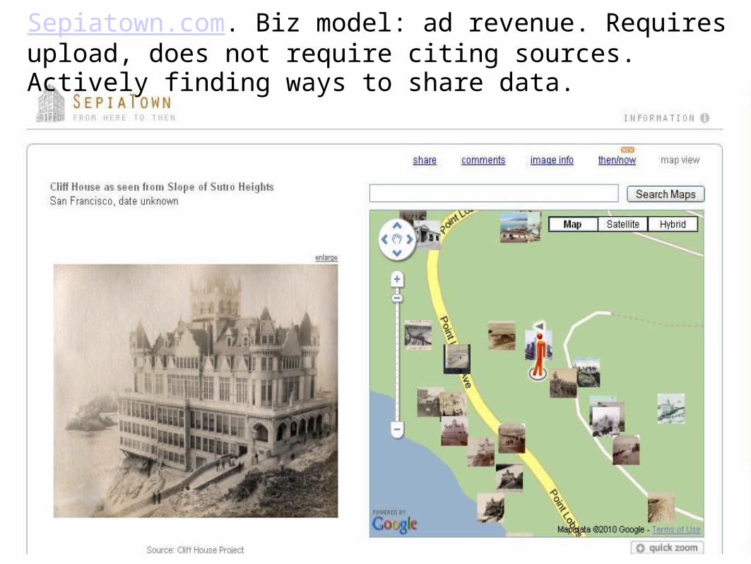
Sepiatown.com. Biz model: ad revenue. Requires upload, does not require citing sources. Actively finding ways to share data.
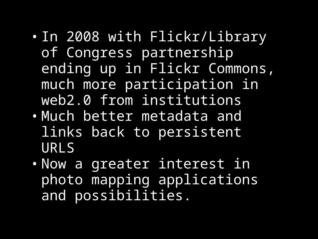
• In 2008 with Flickr/Library of Congress partnership ending up in Flickr Commons, much more participation in web2.0 from institutions
• Much better metadata and links back to persistent URLS
• Now a greater interest in photo mapping applications and possibilities.

http://www.flickr.com/photos/smithsonian/2550414067/
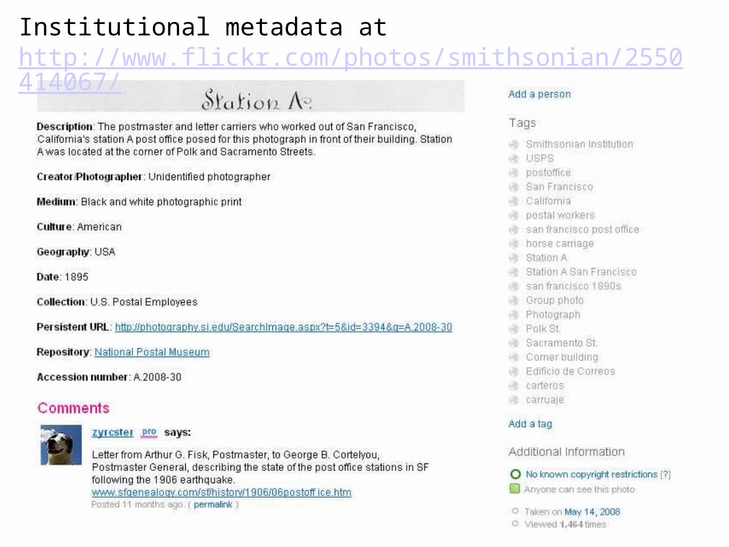
Institutional metadata at http://www.flickr.com/photos/smithsonian/2550414067/
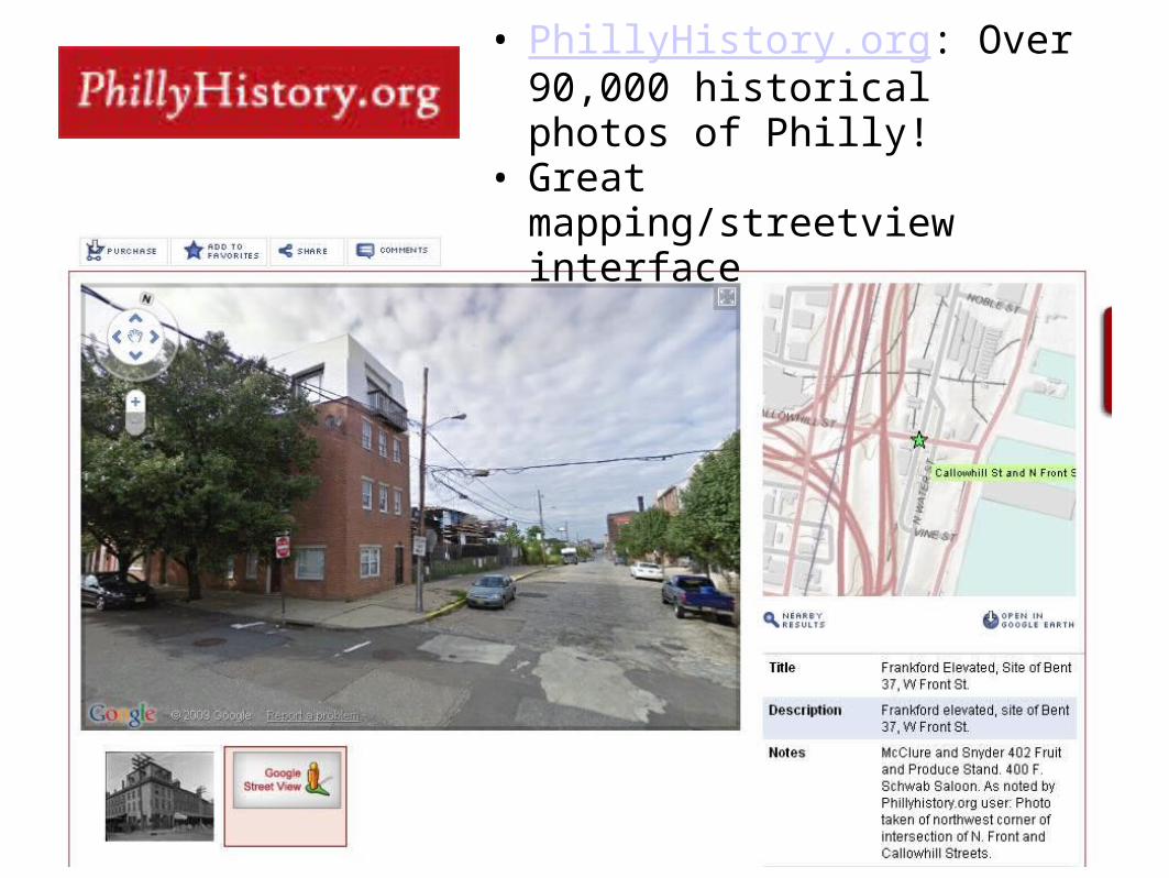
• PhillyHistory.org: Over 90,000 historical photos of Philly!
• Great mapping/streetview interface
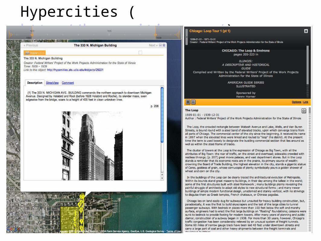
Hypercities (http://hypercities.com/)
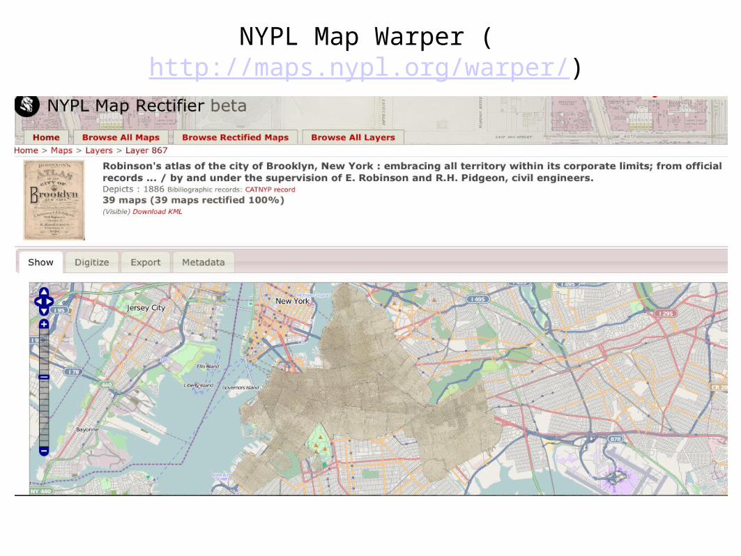
NYPL Map Warper (http://maps.nypl.org/warper/)
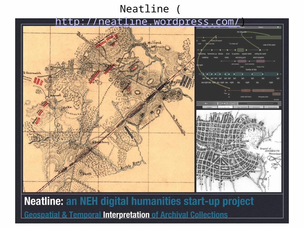
Neatline (http://neatline.wordpress.com/)
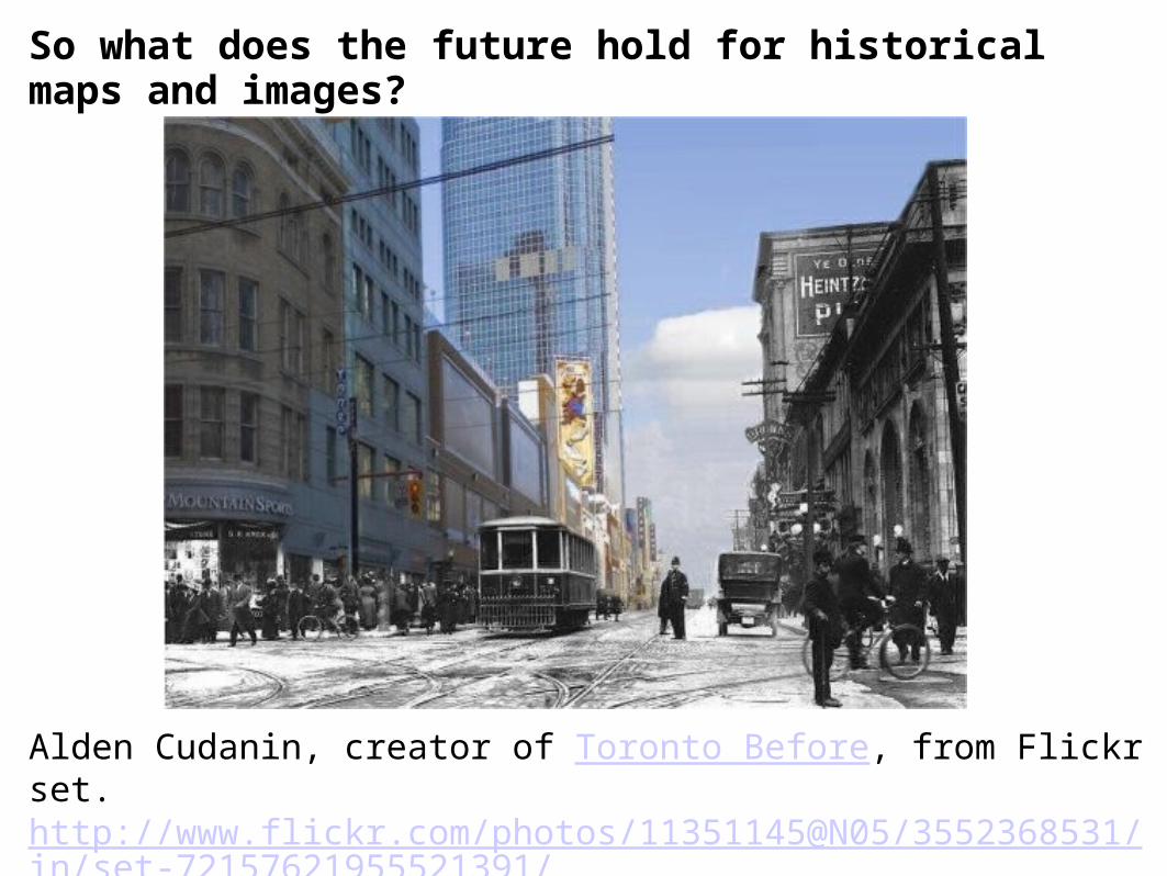
So what does the future hold for historical maps and images?
Alden Cudanin, creator of Toronto Before, from Flickr set.http://www.flickr.com/photos/11351145@N05/3552368531/in/set-72157621955521391/
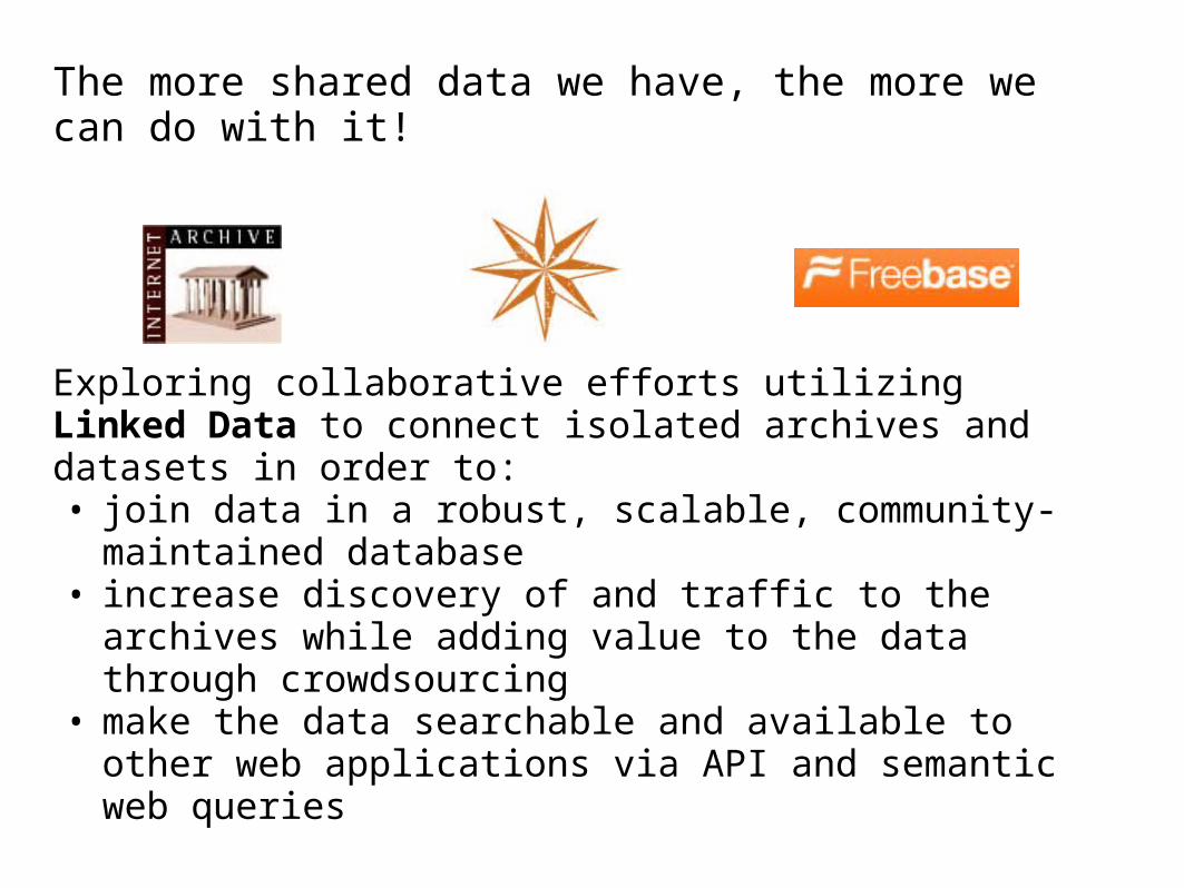
The more shared data we have, the more we can do with it!
Exploring collaborative efforts utilizing Linked Data to connect isolated archives and datasets in order to: • join data in a robust, scalable, community-maintained
database• increase discovery of and traffic to the archives while
adding value to the data through crowdsourcing• make the data searchable and available to other web
applications via API and semantic web queries
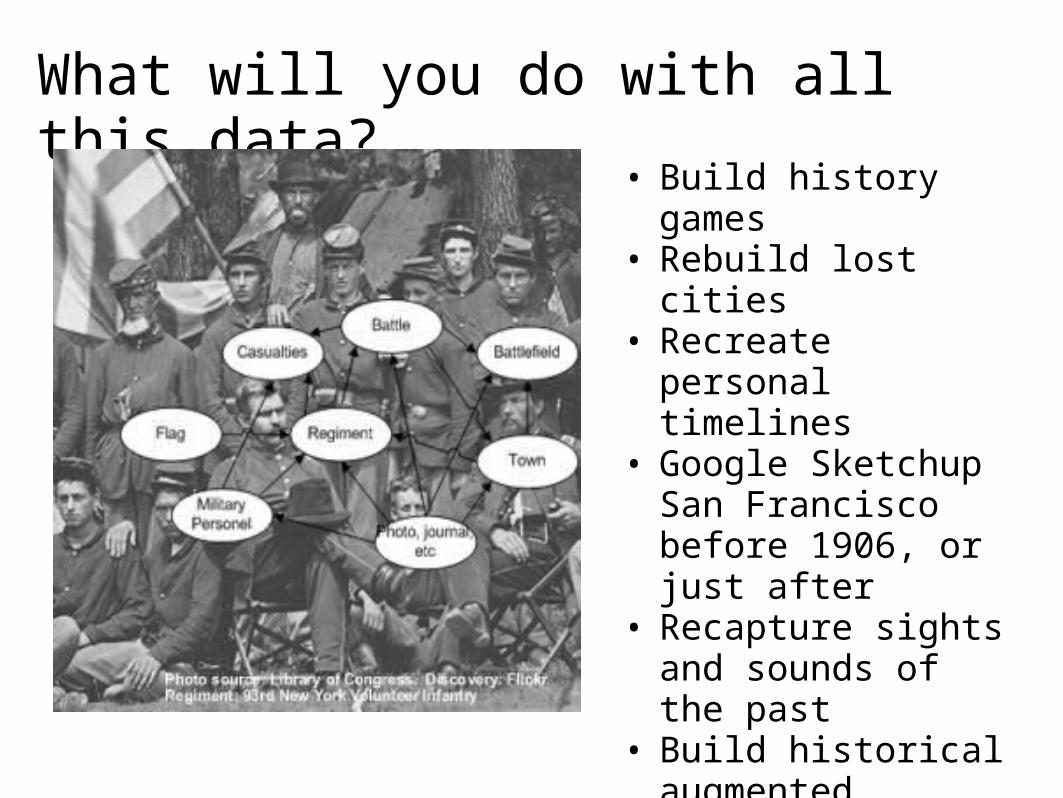
What will you do with all this data?
• Build history games• Rebuild lost cities• Recreate personal
timelines• Google Sketchup San
Francisco before 1906, or just after
• Recapture sights and sounds of the past
• Build historical augmented reality apps
• Whatever we do, let's share our data!
screenshots from LookBackMaps iPhone app,overlay photos from The Bancroft Library
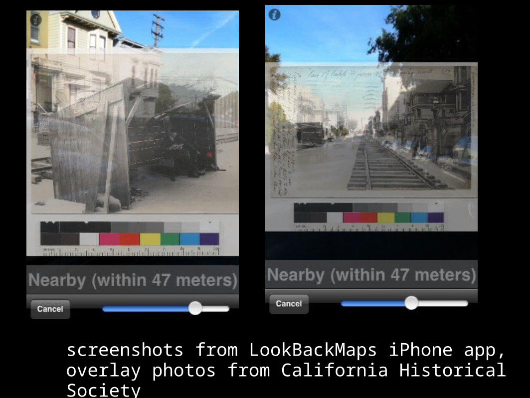
screenshots from LookBackMaps iPhone app,overlay photos from California Historical Society