madgic is… maps and atlases data: numeric and geospatial (for use with special software)...
TRANSCRIPT

MADGIC is…MAPS and ATLASES
DATA: NUMERIC and GEOSPATIAL (for use with special software)
GOVERNMENT INFORMATION (parliamentary and other official reports, statistics, etc.)
… a CENTRE offering Expert Assistance@ Your Library
MADGIC is for you if you study…
Architecture /Art and Culture/Biology/Business/ Canadian Studies/Child Studies/Chemistry/Civil and Environmental Engineering/Criminology and Criminal Justice/Earth Sciences/Economics/ Environmental Science/Geography, Geomatics and Environmental Studies/History/Human Rights/Industrial Design/International Affairs/Journalism and Communication/Law/Mass Communication/Political Science and Global Politics/Public Affairs and Policy Management/Public Policy and Administration/Social Work/Sociology/Women’s Studies … and more…

Where on the Web can I find MADGIC?Click on the Library’s home page and choose
‘MORE’ to see links to home pages for: Data GIS Government Information, and Maps
For many additional resources also check out the library’s
DatabasesSubject GuidesCourse Guides

Get better Web searching resultsUse MADGIC’s customized Google search
engines to look for information from government websites:
Canadian federal, provincial and municipal online information
African countriesAsia and the Pacific countriesCaribbean and Latin American countriesMiddle East countriesandIntergovernmental international organizations You can also search for online maps
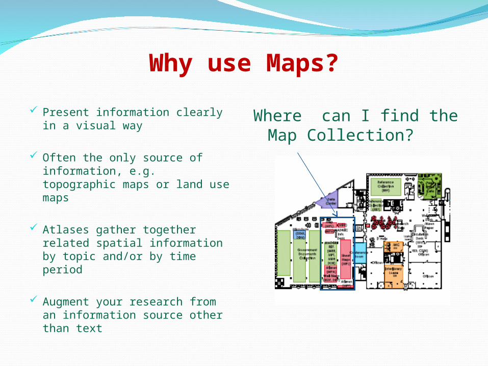
Why use Maps?
Present information clearly in a visual way
Often the only source of information, e.g. topographic maps or land use maps
Atlases gather together related spatial information by topic and/or by time period
Augment your research from an information source other than text
Where can I find the Map Collection?

What is ‘data’?Numeric data comprises highly detailed datasets
in digital file formats which usually require a statistical software package to manipulate the results of a query
Public opinion poll data provides the raw numbers for each question asked by a poll
GIS data is geographically situated information about places that can be viewed through a GIS software and combined with other data to create new maps

Why use numeric data? Numeric data is at a more
detailed level than available in printed or online statistical sources
Public opinion polls can support or counter arguments based on responses to questions
You can manipulate data files to produce new combinations of information using statistical software
The <odesi> searching interface makes data discovery easier
Where can I get help ?
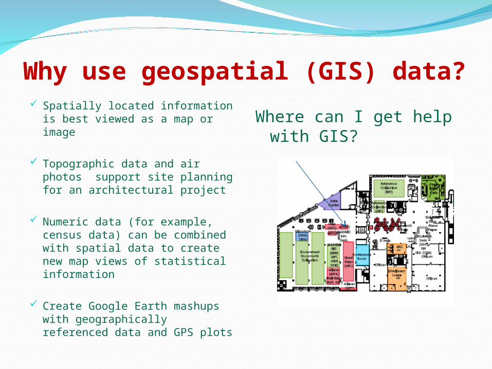
Why use geospatial (GIS) data? Spatially located information is
best viewed as a map or image
Topographic data and air photos support site planning for an architectural project
Numeric data (for example, census data) can be combined with spatial data to create new map views of statistical information
Create Google Earth mashups with geographically referenced data and GPS plots
Where can I get help with GIS?
What is Government Information?Information found in publications or databases
issued under the authority of a government body or by an intergovernmental international organization such as the United Nations or the World Bank
Government information is found in sources such as parliamentary bills, hearings and reports, research reports done for government agencies, commissions of inquiry, statistics, etc.
Government information can be either current or historical

Why use government information?
Primary source material
From an authentic source
Often most current information on an issue
Best source for most statistics
Documents on foreign relations
Track changes in policies over time
Where do I find government publications ?
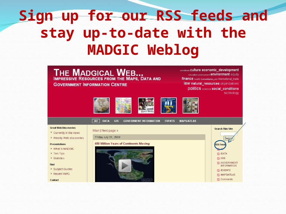
Sign up for our RSS feeds and stay up-to-date with the MADGIC Weblog

MADGIC supports your coursesMADGIC also offers these services:
Map Labs with course displays for assignments
Course seminars that highlight relevant resources with accompanying Web guides matched to course content
Data sets and sub-sets extracted for course use
Wall maps and transparencies that can be borrowed to illustrate assignments and course themes
Enrich your studies with MADGIC!