leveraging geoint to enhance national security in asia
TRANSCRIPT
www.GeospatialDefenceAsia.com
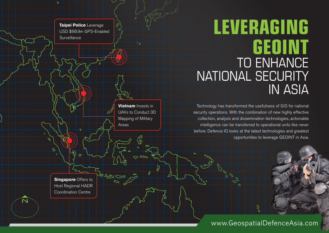
LEVERAGING GEOINT
TO ENHANCE NATIONAL SECURITY
IN ASIATechnology has transformed the usefulness of GIS for national
security operations. With the combination of new highly effective collection, analysis and dissemination technologies, actionable
intelligence can be transferred to operational units like never before. Defence IQ looks at the latest technologies and greatest
opportunities to leverage GEOINT in Asia.
Singapore Offers to Host Regional HADR Coordination Centre
Taipei Police Leverage USD $68.9m GPS-Enabled Surveillance
Vietnam Invests in UAVs to Conduct 3D Mapping of Military Areas
www.GeospatialDefenceAsia.com
Sources:http://www.digitimes.com/supply_chain_window/story.asp?datepublish=2014/05/15&pages=PR&seq=204 http://www.gmanetwork.com/news/story/230560/scitech/taipei-cops-launch-68-9m-gps-enabled-surveillance
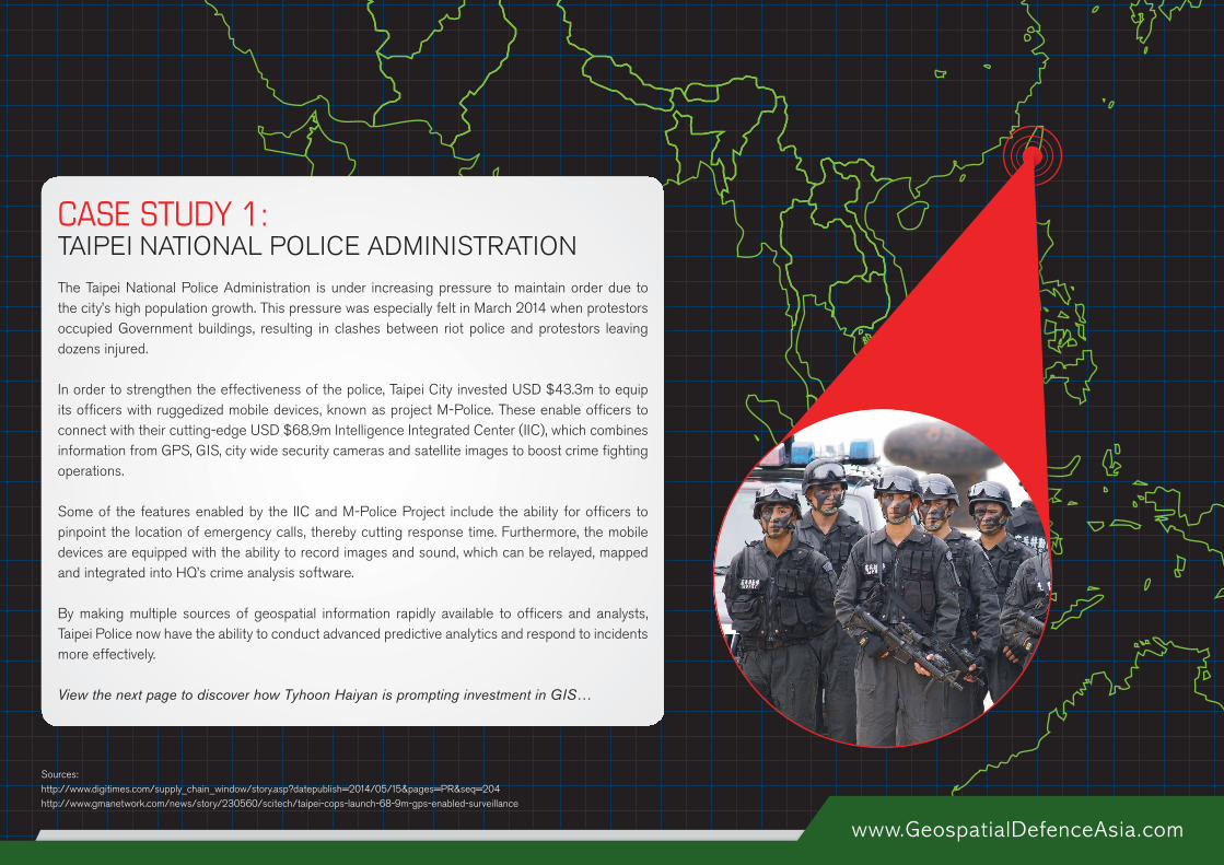
The Taipei National Police Administration is under increasing pressure to maintain order due to the city’s high population growth. This pressure was especially felt in March 2014 when protestors occupied Government buildings, resulting in clashes between riot police and protestors leaving dozens injured.
In order to strengthen the effectiveness of the police, Taipei City invested USD $43.3m to equip its officers with ruggedized mobile devices, known as project M-Police. These enable officers to connect with their cutting-edge USD $68.9m Intelligence Integrated Center (IIC), which combines information from GPS, GIS, city wide security cameras and satellite images to boost crime fighting operations.
Some of the features enabled by the IIC and M-Police Project include the ability for officers to pinpoint the location of emergency calls, thereby cutting response time. Furthermore, the mobile devices are equipped with the ability to record images and sound, which can be relayed, mapped and integrated into HQ’s crime analysis software.
By making multiple sources of geospatial information rapidly available to officers and analysts, Taipei Police now have the ability to conduct advanced predictive analytics and respond to incidents more effectively.
View the next page to discover how Tyhoon Haiyan is prompting investment in GIS…
CASE STUDY 1:TAIPEI NATIONAL POLICE ADMINISTRATION
www.GeospatialDefenceAsia.com
Sources: https://www.osac.gov/pages/ContentReportDetails.aspx?cid=15294http://preparecenter.org/topics/preparedness-issues-philippines-typhoon-haiyan-recovery#preparedness-lessonshttp://www.washingtonpost.com/blogs/worldviews/wp/2013/11/15/8-maps-that-explain-why-typhoon-haiyan-hit-the-philippines-so-hard/
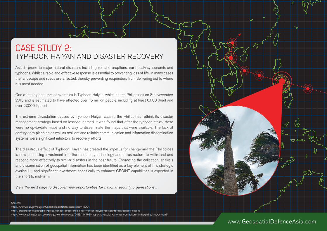
Asia is prone to major natural disasters including volcano eruptions, earthquakes, tsunamis and typhoons. Whilst a rapid and effective response is essential to preventing loss of life, in many cases the landscape and roads are affected, thereby preventing responders from delivering aid to where it is most needed.
One of the biggest recent examples is Typhoon Haiyan, which hit the Philippines on 8th November 2013 and is estimated to have affected over 16 million people, including at least 6,000 dead and over 27,000 injured.
The extreme devastation caused by Typhoon Haiyan caused the Philippines rethink its disaster management strategy based on lessons learned. It was found that after the typhoon struck there were no up-to-date maps and no way to disseminate the maps that were available. The lack of contingency planning as well as resilient and reliable communication and information dissemination systems were significant inhibitors to recovery efforts.
The disastrous effect of Typhoon Haiyan has created the impetus for change and the Philippines is now prioritising investment into the resources, technology and infrastructure to withstand and respond more effectively to similar disasters in the near future. Enhancing the collection, analysis and dissemination of geospatial information has been identified as a key element of this strategic overhaul – and significant investment specifically to enhance GEOINT capabilities is expected in the short to mid-term.
View the next page to discover new opportunities for national security organisations…
CASE STUDY 2: TYPHOON HAIYAN AND DISASTER RECOVERY
www.GeospatialDefenceAsia.com
Sources: http://www.bbc.com/news/technology-27868703
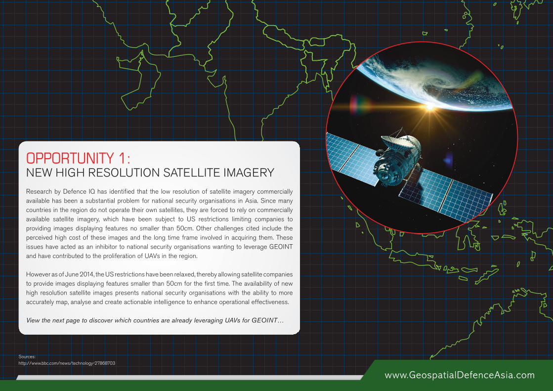
Research by Defence IQ has identified that the low resolution of satellite imagery commercially available has been a substantial problem for national security organisations in Asia. Since many countries in the region do not operate their own satellites, they are forced to rely on commercially available satellite imagery, which have been subject to US restrictions limiting companies to providing images displaying features no smaller than 50cm. Other challenges cited include the perceived high cost of these images and the long time frame involved in acquiring them. These issues have acted as an inhibitor to national security organisations wanting to leverage GEOINT and have contributed to the proliferation of UAVs in the region.
However as of June 2014, the US restrictions have been relaxed, thereby allowing satellite companies to provide images displaying features smaller than 50cm for the first time. The availability of new high resolution satellite images presents national security organisations with the ability to more accurately map, analyse and create actionable intelligence to enhance operational effectiveness.
View the next page to discover which countries are already leveraging UAVs for GEOINT…
OPPORTUNITY 1: NEW HIGH RESOLUTION SATELLITE IMAGERY
www.GeospatialDefenceAsia.com
Sources: http://www.defencereviewasia.com/articles/195/Asian-region-UAV-capability-on-the-rise
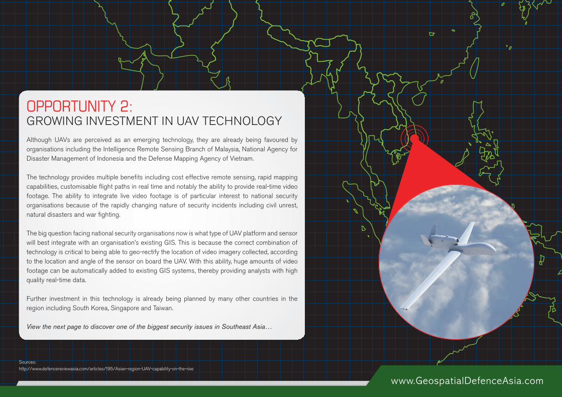
Although UAVs are perceived as an emerging technology, they are already being favoured by organisations including the Intelligence Remote Sensing Branch of Malaysia, National Agency for Disaster Management of Indonesia and the Defense Mapping Agency of Vietnam.
The technology provides multiple benefits including cost effective remote sensing, rapid mapping capabilities, customisable flight paths in real time and notably the ability to provide real-time video footage. The ability to integrate live video footage is of particular interest to national security organisations because of the rapidly changing nature of security incidents including civil unrest, natural disasters and war fighting.
The big question facing national security organisations now is what type of UAV platform and sensor will best integrate with an organisation’s existing GIS. This is because the correct combination of technology is critical to being able to geo-rectify the location of video imagery collected, according to the location and angle of the sensor on board the UAV. With this ability, huge amounts of video footage can be automatically added to existing GIS systems, thereby providing analysts with high quality real-time data.
Further investment in this technology is already being planned by many other countries in the region including South Korea, Singapore and Taiwan.
View the next page to discover one of the biggest security issues in Southeast Asia…
OPPORTUNITY 2: GROWING INVESTMENT IN UAV TECHNOLOGY
www.GeospatialDefenceAsia.com
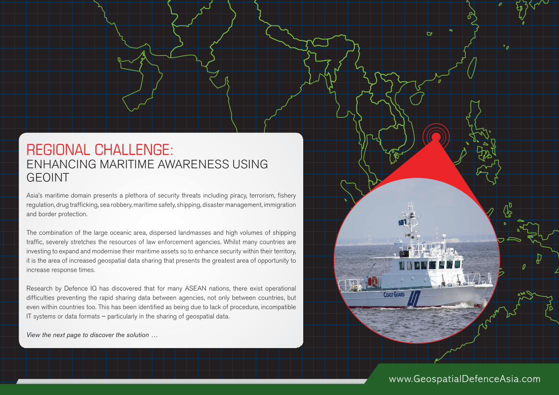
Asia’s maritime domain presents a plethora of security threats including piracy, terrorism, fishery regulation, drug trafficking, sea robbery, maritime safety, shipping, disaster management, immigration and border protection.
The combination of the large oceanic area, dispersed landmasses and high volumes of shipping traffic, severely stretches the resources of law enforcement agencies. Whilst many countries are investing to expand and modernise their maritime assets so to enhance security within their territory, it is the area of increased geospatial data sharing that presents the greatest area of opportunity to increase response times.
Research by Defence IQ has discovered that for many ASEAN nations, there exist operational difficulties preventing the rapid sharing data between agencies, not only between countries, but even within countries too. This has been identified as being due to lack of procedure, incompatible IT systems or data formats – particularly in the sharing of geospatial data.
View the next page to discover the solution …
REGIONAL CHALLENGE: ENHANCING MARITIME AWARENESS USING GEOINT
www.GeospatialDefenceAsia.com
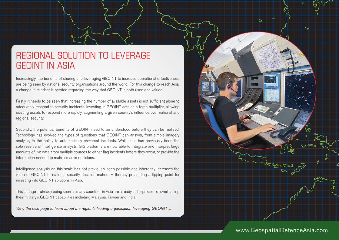
Increasingly, the benefits of sharing and leveraging GEOINT to increase operational effectiveness are being seen by national security organisations around the world. For this change to reach Asia, a change in mindset is needed regarding the way that GEOINT is both used and valued.
Firstly, it needs to be seen that increasing the number of available assets is not sufficient alone to adequately respond to security incidents. Investing in GEOINT acts as a force multiplier, allowing existing assets to respond more rapidly, augmenting a given country’s influence over national and regional security.
Secondly, the potential benefits of GEOINT need to be understood before they can be realised. Technology has evolved the types of questions that GEOINT can answer, from simple imagery analysis, to the ability to automatically pre-empt incidents. Whilst this has previously been the sole reserve of intelligence analysts, GIS platforms are now able to integrate and interpret large amounts of live data, from multiple sources to either flag incidents before they occur, or provide the information needed to make smarter decisions.
Intelligence analysis on this scale has not previously been possible and inherently increases the value of GEOINT to national security decision makers – thereby presenting a tipping point for investing into GEOINT solutions in Asia.
This change is already being seen as many countries in Asia are already in the process of overhauling their military’s GEOINT capabilities including Malaysia, Taiwan and India.
View the next page to learn about the region’s leading organisation leveraging GEOINT…
REGIONAL SOLUTION TO LEVERAGE GEOINT IN ASIA
www.GeospatialDefenceAsia.com
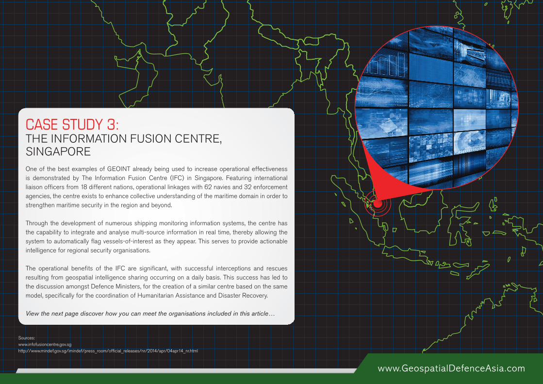
One of the best examples of GEOINT already being used to increase operational effectiveness is demonstrated by The Information Fusion Centre (IFC) in Singapore. Featuring international liaison officers from 18 different nations, operational linkages with 62 navies and 32 enforcement agencies, the centre exists to enhance collective understanding of the maritime domain in order to strengthen maritime security in the region and beyond.
Through the development of numerous shipping monitoring information systems, the centre has the capability to integrate and analyse multi-source information in real time, thereby allowing the system to automatically flag vessels-of-interest as they appear. This serves to provide actionable intelligence for regional security organisations.
The operational benefits of the IFC are significant, with successful interceptions and rescues resulting from geospatial intelligence sharing occurring on a daily basis. This success has led to the discussion amongst Defence Ministers, for the creation of a similar centre based on the same model, specifically for the coordination of Humanitarian Assistance and Disaster Recovery.
View the next page discover how you can meet the organisations included in this article…
CASE STUDY 3: THE INFORMATION FUSION CENTRE, SINGAPORE
Sources:www.infofusioncentre.gov.sg http://www.mindef.gov.sg/imindef/press_room/official_releases/nr/2014/apr/04apr14_nr.html

î MAIN CONFERENCE: 10th – 11th September 2014
î VENUE: Amara Sanctuary Resort
Sentosa, Singapore
Do you want to meet Asia’s national security organisations and discover how they are enhancing their GEOINT capabilities?Then you need to attend the 7th Annual Geospatial Defence & Intelligence Asia Pacific, bringing the latest operational case studies leveraging GIS technology from around the world, including experts from Singapore, Malaysia, Philippines, Thailand, Indonesia, India, Australia more.
Don’t fall behind! Click here to find out more and enhance your national security operations with GEOINT!
www.GeospatialDefenceAsia.com