joint fire science program project - usda ars · joint fire science program project jerry...
TRANSCRIPT
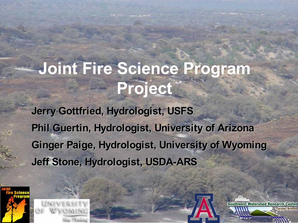
Joint Fire Science ProgramProject
Jerry Gottfried, Hydrologist, USFSJerry Gottfried, Hydrologist, USFSPhil Guertin, Hydrologist, University of ArizonaPhil Guertin, Hydrologist, University of ArizonaGinger Paige, Hydrologist, University of WyomingGinger Paige, Hydrologist, University of WyomingJeff Stone, Hydrologist, USDA-ARSJeff Stone, Hydrologist, USDA-ARS
Outline
• Joint Fire Science ProgramJoint Fire Science Program
• Problem StatementProblem Statement
• The Ryan FireThe Ryan Fire
• Research objectivesResearch objectives
• Approach & MethodsApproach & Methods
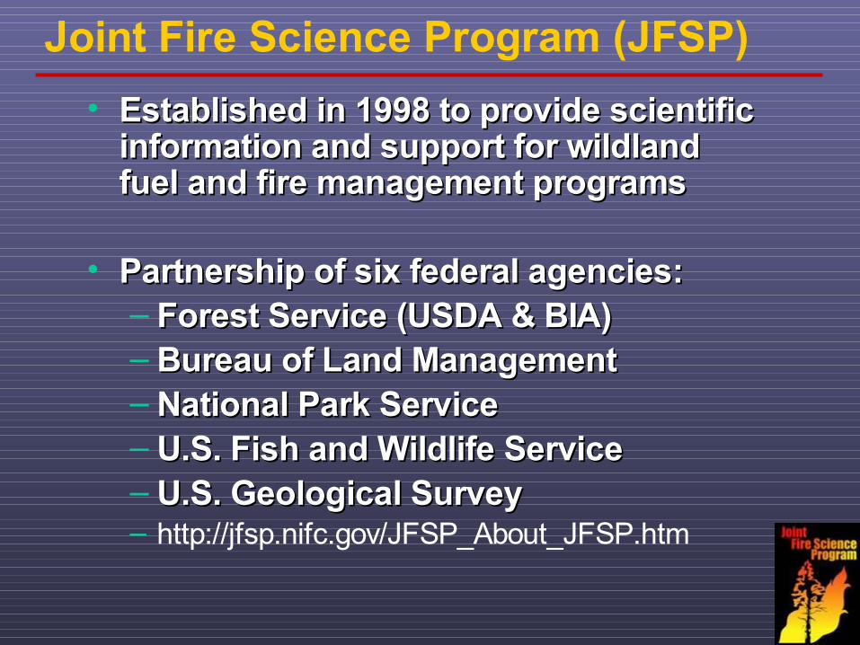
Joint Fire Science Program (JFSP)• Established in 1998 to provide scientific Established in 1998 to provide scientific
information and support for wildland information and support for wildland fuel and fire management programsfuel and fire management programs
• Partnership of six federal agencies: Partnership of six federal agencies: – Forest Service (USDA & BIA) Forest Service (USDA & BIA) – Bureau of Land ManagementBureau of Land Management– National Park Service National Park Service – U.S. Fish and Wildlife ServiceU.S. Fish and Wildlife Service– U.S. Geological Survey U.S. Geological Survey – http://jfsp.nifc.gov/JFSP_About_JFSP.htm
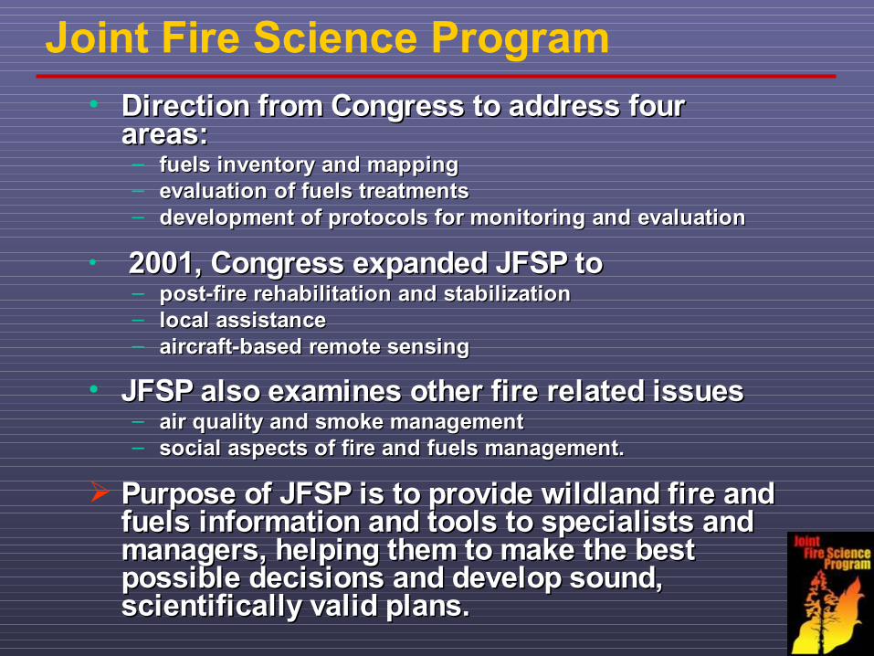
Joint Fire Science Program• Direction from Congress to address four Direction from Congress to address four
areas: areas: – fuels inventory and mappingfuels inventory and mapping– evaluation of fuels treatments evaluation of fuels treatments – development of protocols for monitoring and evaluationdevelopment of protocols for monitoring and evaluation
• 2001, Congress expanded JFSP to2001, Congress expanded JFSP to– post-fire rehabilitation and stabilization post-fire rehabilitation and stabilization – local assistancelocal assistance– aircraft-based remote sensingaircraft-based remote sensing
• JFSP also examines other fire related issuesJFSP also examines other fire related issues – air quality and smoke managementair quality and smoke management– social aspects of fire and fuels management. social aspects of fire and fuels management.
Purpose of JFSP is to provide wildland fire and Purpose of JFSP is to provide wildland fire and fuels information and tools to specialists and fuels information and tools to specialists and managers, helping them to make the best managers, helping them to make the best possible decisions and develop sound, possible decisions and develop sound, scientifically valid plans.scientifically valid plans.

Problem Statement
• Wildfires in the semiarid regions of the SW Wildfires in the semiarid regions of the SW usually occur in the months preceding the usually occur in the months preceding the onset of summer monsoon rains.onset of summer monsoon rains.
Little or no research has been done to Little or no research has been done to evaluate/quantify the hydrologic and erosion evaluate/quantify the hydrologic and erosion effects from grassland wildfires in semiarid effects from grassland wildfires in semiarid areas.areas.
• Loss of cover coupled with high intensity Loss of cover coupled with high intensity convective thunderstorms can lead to convective thunderstorms can lead to significant increases in runoff and erosionsignificant increases in runoff and erosion..

Post Wildfire Hydrology & Erosion
• Fire Characteristics– Severity/Extent– Timing
• Site Characteristics– Slope– Soils– Vegetation– Climate
Risk– Flooding (on and off site)– Increases in erosion & soil loss
KEY FACTORSKEY FACTORS
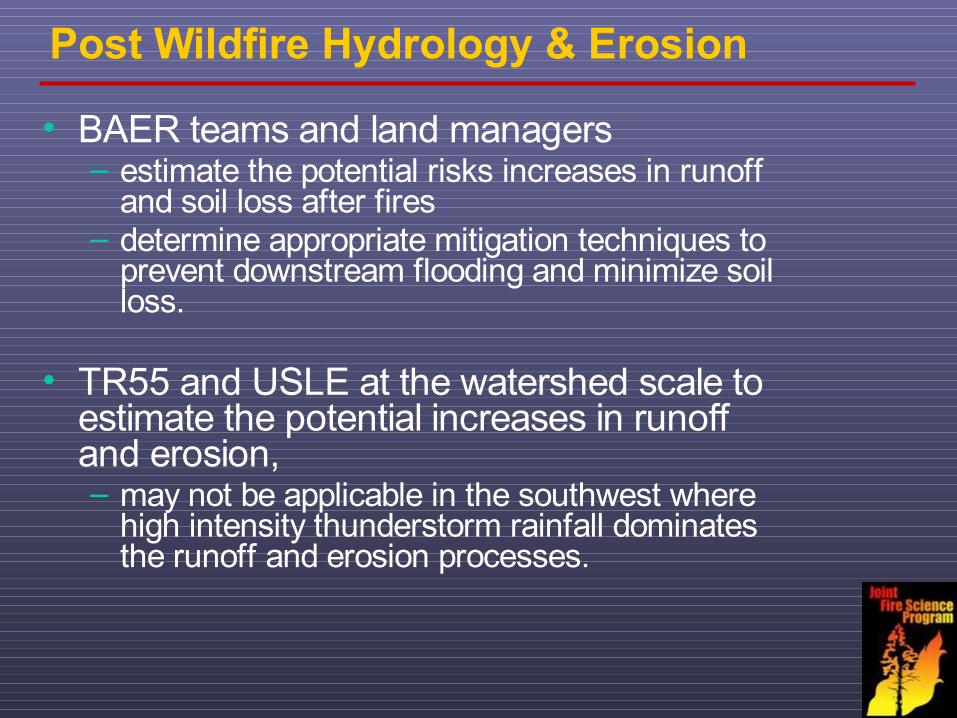
Post Wildfire Hydrology & Erosion
• BAER teams and land managers – estimate the potential risks increases in runoff
and soil loss after fires – determine appropriate mitigation techniques to
prevent downstream flooding and minimize soil loss.
• TR55 and USLE at the watershed scale to estimate the potential increases in runoff and erosion, – may not be applicable in the southwest where
high intensity thunderstorm rainfall dominates the runoff and erosion processes.
Project
Quantification of Runoff and Erosion Processes on a
Semi-arid Grassland after a Wildfire

Ryan Fire (May 2002)
• 17,000 ha of semi-arid grassland and oak 17,000 ha of semi-arid grassland and oak woodland in SE Arizonawoodland in SE Arizona
• Low (70%) to moderate (30%) burn severityLow (70%) to moderate (30%) burn severity
7000 ha – National Forest Service7000 ha – National Forest Service4000 ha –BLM4000 ha –BLM5000 ha – private5000 ha – private770 ha – State Lands770 ha – State Lands
The Audubon Research Ranch:The Audubon Research Ranch: 1997: USDA –ARS established two grassland ecological1997: USDA –ARS established two grassland ecological
research sites for runoff and erosion research.research sites for runoff and erosion research.
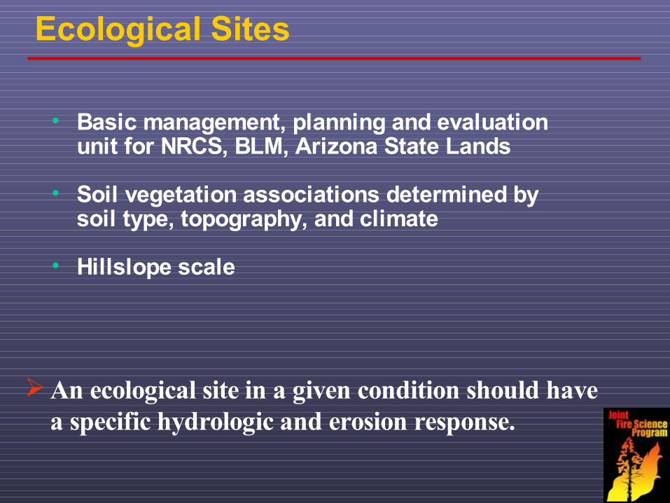
Ecological Sites
An ecological site in a given condition should have a specific hydrologic and erosion response.
• Basic management, planning and evaluation unit for NRCS, BLM, Arizona State Lands
• Soil vegetation associations determined by soil type, topography, and climate
• Hillslope scale
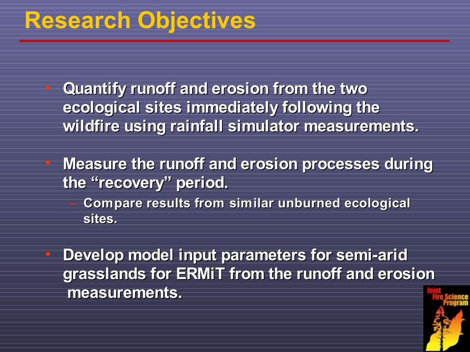
Research Objectives
• Quantify runoff and erosion from the two Quantify runoff and erosion from the two ecological sites immediately following the ecological sites immediately following the wildfire using rainfall simulator measurements.wildfire using rainfall simulator measurements.
• Measure the runoff and erosion processes during Measure the runoff and erosion processes during the “recovery” period.the “recovery” period.– Compare results from similar unburned ecological Compare results from similar unburned ecological
sites.sites.
• Develop model input parameters for semi-arid Develop model input parameters for semi-arid grasslands for ERMiT from the runoff and erosion grasslands for ERMiT from the runoff and erosion measurements. measurements.

Research Approach
• Variable intensity rainfall simulator experiments Variable intensity rainfall simulator experiments on the 2 burned ecological sites (2 - 4 plots/siteon the 2 burned ecological sites (2 - 4 plots/site).).– Measure infiltration, runoff, and erosion for a range Measure infiltration, runoff, and erosion for a range
of rainfall intensities (25 – 180 mm/hr).of rainfall intensities (25 – 180 mm/hr).
• Compare results from those at similar unburned Compare results from those at similar unburned ecological sites at the USDA- ARS Walnut Gulch ecological sites at the USDA- ARS Walnut Gulch Experimental Watershed.Experimental Watershed.
Results from three years of simulation on the Results from three years of simulation on the original Ryan Fire and unburned sites.original Ryan Fire and unburned sites.
Results from additional wildfire sites.Results from additional wildfire sites.
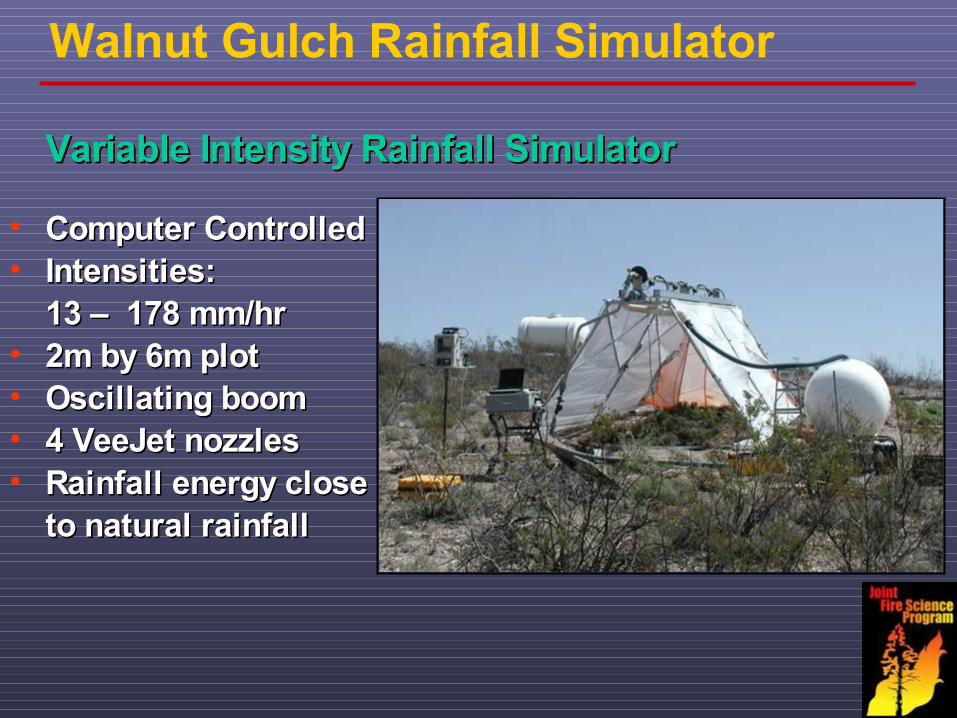
Walnut Gulch Rainfall Simulator
• Computer ControlledComputer Controlled• Intensities:Intensities:
13 – 178 mm/hr13 – 178 mm/hr• 2m by 6m plot2m by 6m plot• Oscillating boomOscillating boom• 4 VeeJet nozzles4 VeeJet nozzles• Rainfall energy closeRainfall energy close to natural rainfallto natural rainfall
Variable Intensity Rainfall SimulatorVariable Intensity Rainfall Simulator
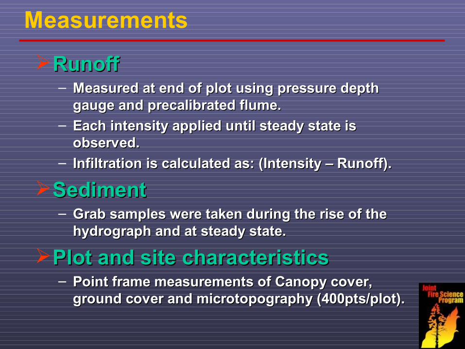
Measurements
RunoffRunoff– Measured at end of plot using pressure depth Measured at end of plot using pressure depth
gauge and precalibrated flume.gauge and precalibrated flume.– Each intensity applied until steady state is Each intensity applied until steady state is
observed.observed.– Infiltration is calculated as: (Intensity – Runoff).Infiltration is calculated as: (Intensity – Runoff).
SedimentSediment– Grab samples were taken during the rise of the Grab samples were taken during the rise of the
hydrograph and at steady state.hydrograph and at steady state.
Plot and site characteristicsPlot and site characteristics– Point frame measurements of Canopy cover, Point frame measurements of Canopy cover,
ground cover and microtopography (400pts/plot).ground cover and microtopography (400pts/plot).
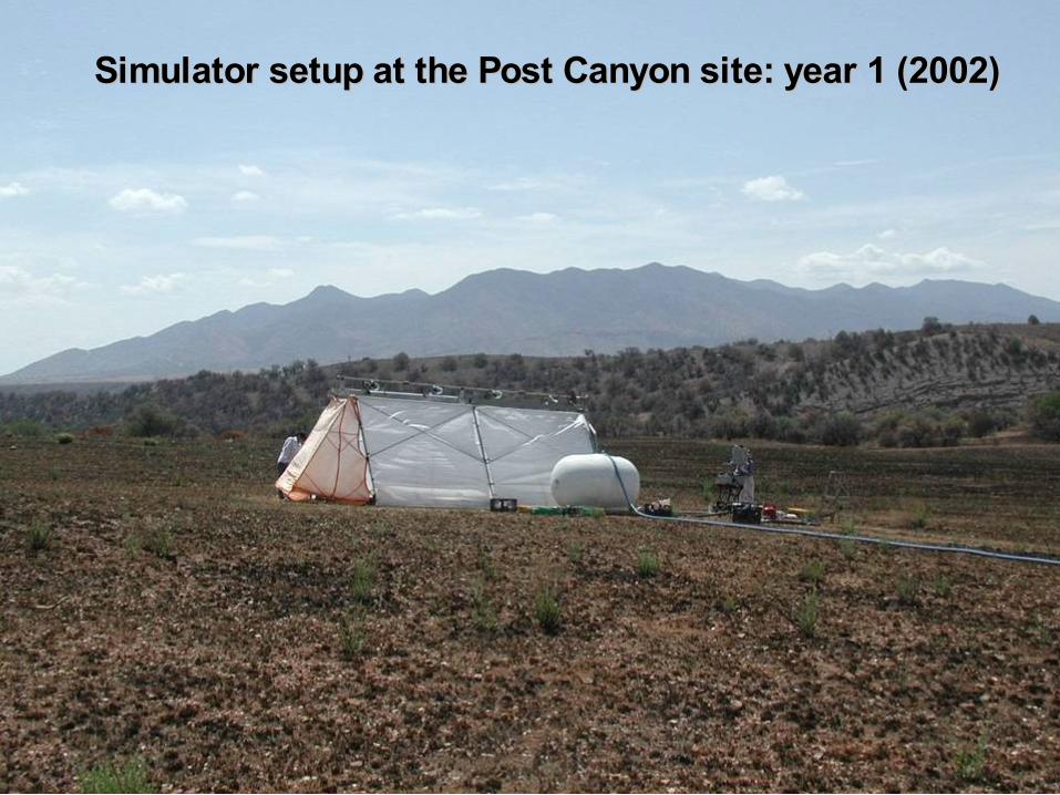
Simulator setup at the Post Canyon site: year 1 (2002)Simulator setup at the Post Canyon site: year 1 (2002)
Next Steps
• Develop input parameters for WEPP and ERMiT from rainfall simulator experiment data and site characteristics
• Hydrology & erosion processes• Hydrology & erosion – oak woodlands• Data from rainfall simulator experiments• BAER Team Technology• Hydrologic & erosion model overview