implementing vls feature analyst to enhance transims … · implementing vls feature analyst to...
TRANSCRIPT

Implementing VLS Feature Analyst to Enhance TRANSIMS
ModelsBy
Brent OrtonGraduate Research Assistant
National Institute for Advanced Transportation Technology
University of Idaho Department of Civil Engineering

Outline
• Introduction– Transportation Planning Concepts– TRANSIMS Models Micro-simulation
• Background – The Problem– Typical Traffic Analysis Zones
• Census Data
– Land Use Zoning Data

Outline• Problem Solutions & Methodology
– GeoCoding– Feature Analyst – a two-fold solution
• The Enhanced Traffic Analysis Zone– Aerial Weights and Counts
• Rectification of Zoning Data Discrepancies
• Problem Solution Problems and Results– Most Valuable Lessons Learned
• For Future Research• Summary

Introduction
• Transportation Planning Concepts– Transportation Demand Modelling
• Traffic Analysis Zones (TAZs)• Demographic Inputs
– Census Data

Introduction• TRANSIMS Models Micro-simulation
– Transportation Analysis and Simulation System• Built as a robust extension to GIS
– Model of a population based on:• Synthesized individuals • Similar socioeconomic and demographic attributes
– Data sources to create this type of model• Census data• Land use zoning data• Road network
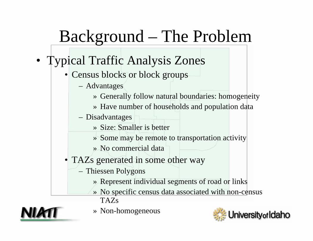
Background – The Problem• Typical Traffic Analysis Zones
• Census blocks or block groups– Advantages
» Generally follow natural boundaries: homogeneity» Have number of households and population data
– Disadvantages» Size: Smaller is better» Some may be remote to transportation activity» No commercial data
• TAZs generated in some other way– Thiessen Polygons
» Represent individual segments of road or links» No specific census data associated with non-census
TAZs» Non-homogeneous

Background – The Problem• Land Use Zoning Data
– Generated by local gov’t planning and zoning departments
– Characterizes general land use– Guides future growth by designating
appropriate uses– Excellent land use source for differentiating trip
generations and attractions– Portions of zones may not be used as zoned

Background – The Problem• Land Use Zoning Data

Background – The Problem
• A method is needed to associate known census, land use, and commercial data with smaller, more realistic Traffic Analysis Zones

Problem Solutions & Methodology• Solutions:
– Create Smaller Traffic Analysis Zones to represent each link: Thiessen Polygons
– GeoCoding• Obtain residential and commercial data• Counting points within polygons• Disadvantage: Network acuracy
– Aerial weights within TAZs to distribute census data
• Need building footprints• Need accurate land use zoning data

Problem Solutions & Methodology• Feature Analyst – a two-fold solution
• The Enhanced Traffic Analysis Zone– Aerial Weights and Counts
• Rectification of Zoning Data Discrepancies
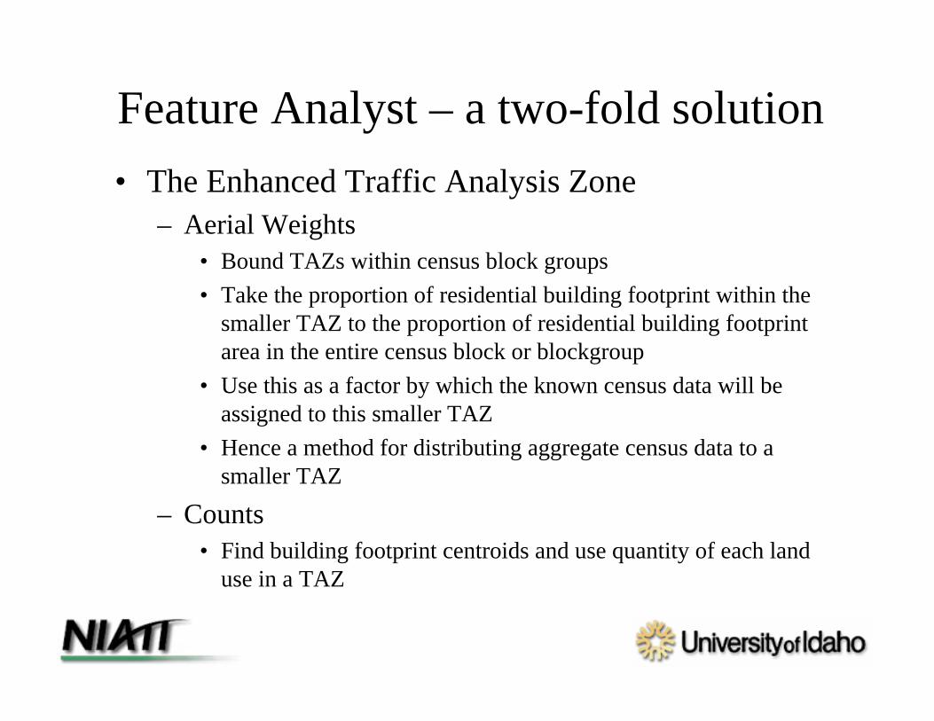
Feature Analyst – a two-fold solution• The Enhanced Traffic Analysis Zone
– Aerial Weights• Bound TAZs within census block groups• Take the proportion of residential building footprint within the
smaller TAZ to the proportion of residential building footprint area in the entire census block or blockgroup
• Use this as a factor by which the known census data will be assigned to this smaller TAZ
• Hence a method for distributing aggregate census data to a smaller TAZ
– Counts • Find building footprint centroids and use quantity of each land
use in a TAZ

Feature Analyst – a two-fold solution
• Rectification of Zoning Data Discrepancies– Use Feature Analyst to extract building
footprints• Eliminates land use zone inactivity• Provides areas for proportional analysis• Enables select zoning data to be associated with
footprints– Establishes land use by building footprint– Commercial extension of data

Implementing Feature Analyst• Single feature extraction
– Advantages:• Less confusing• More focused use of spatial context abilities of FA
– Input representation specifically suited to desired feature– Etc.

Implementing Feature Analyst• Multi-Class feature extraction
– Advantages:• Potential to reduce misclassification
– Different rooftops– Eliminate confusing features by classifying them
separately» Trees
• Classify additional features for future use• Faster classification of all features desired
– Disadvantages:• Less ability to apply ideal input representation to
individual features• Lots of data

Implementing Feature Analyst
• Learning model application and Batch classifying– Proper usage– Advantages:
• Application of multiple learner files to several images

Problem Solution Problems and Results
• Most Valuable Lessons Learned– Make training data as well as positive and
negative results show exactly what your looking for
– When removing clutter, select the best examples of the desired feature (and the worst)
– Don’t “Over clean”

For Future Research• Use of digital elevation model (DEM) data to:
– Enhance building feature extraction– Find building volumes to estimate occupancy
• Correction of Census data to match orthophotos
• Experimentation with un-cleaned secondary feature extraction results and comparison of over-cleaned omission and commission error

Summary• Problem Solutions & Methodology
– GeoCoding– Feature Analyst – a two-fold solution
• The Enhanced Traffic Analysis Zone• Rectification of Zoning Data Discrepancies
• Problem Solution Problems and Results– Most Valuable Lessons Learned
• Training data, Pos, Negs = Exactly what you want• Don’t over clean
• For Future Research

Questions?