how geographers look at the world. 5 themes of geography 1. location : where is it? 2. place: what...
TRANSCRIPT
HOW GEOGRAPHERS LOOK AT THE WORLD
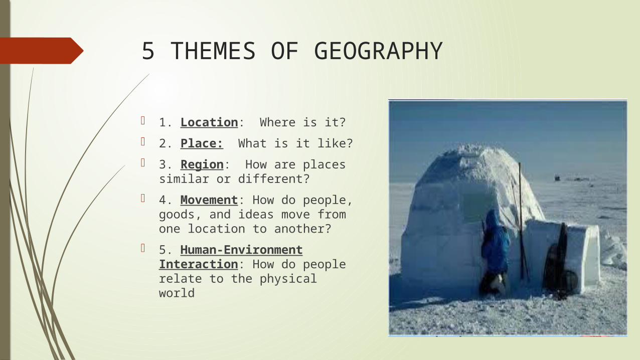
5 THEMES OF GEOGRAPHY
1. Location: Where is it?
2. Place: What is it like?
3. Region: How are places similar or different?
4. Movement: How do people, goods, and ideas move from one location to another?
5. Human-Environment Interaction: How do people relate to the physical world
GEOGRAPHER’S TOOLS
GLOBES AND MAPS
Globe: 3D scale model of the Earth
Map: flat representation of all of part of the planet
Cartographer: map maker
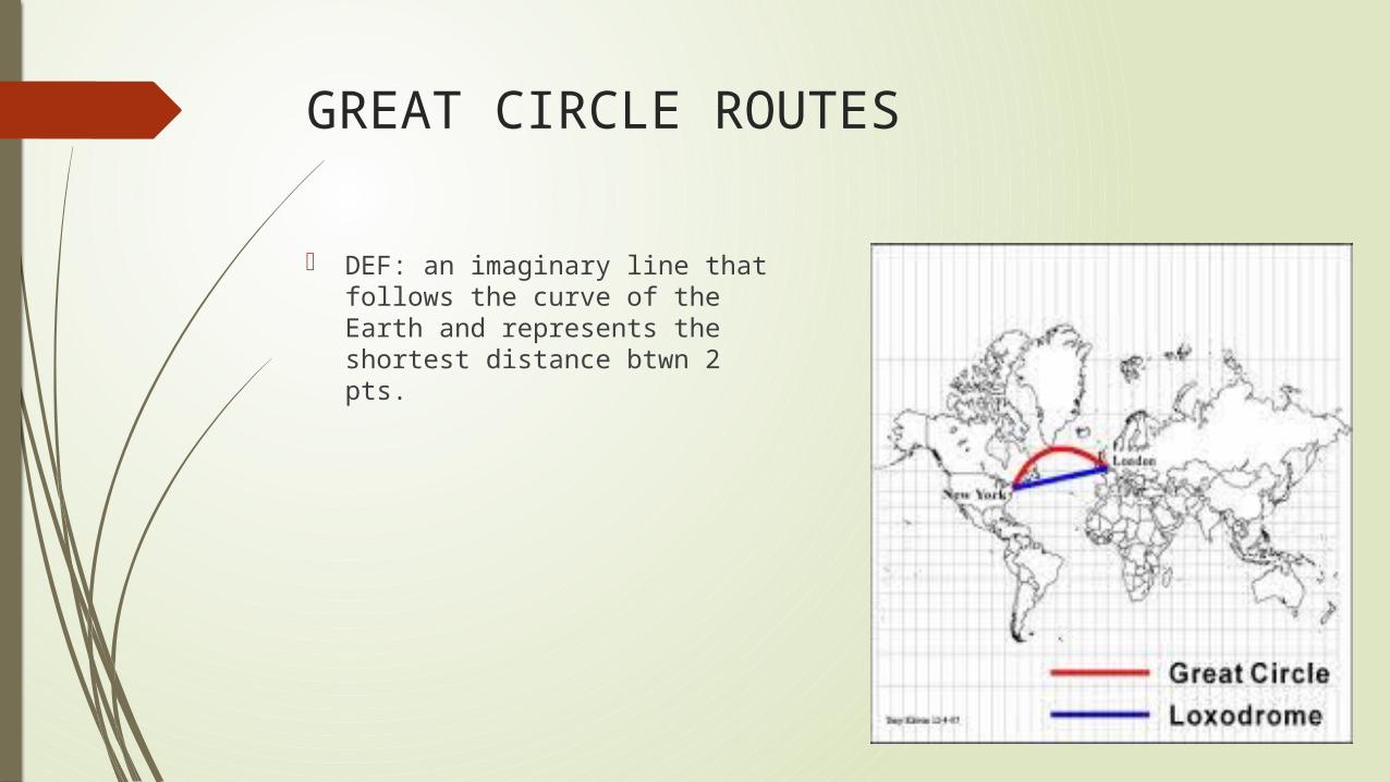
GREAT CIRCLE ROUTES
DEF: an imaginary line that follows the curve of the Earth and represents the shortest distance btwn 2 pts.
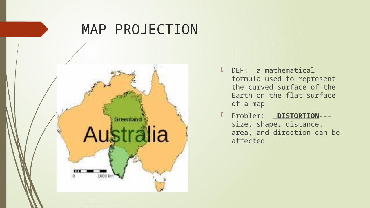
MAP PROJECTION
DEF: a mathematical formula used to represent the curved surface of the Earth on the flat surface of a map
Problem: DISTORTION---size, shape, distance, area, and direction can be affected
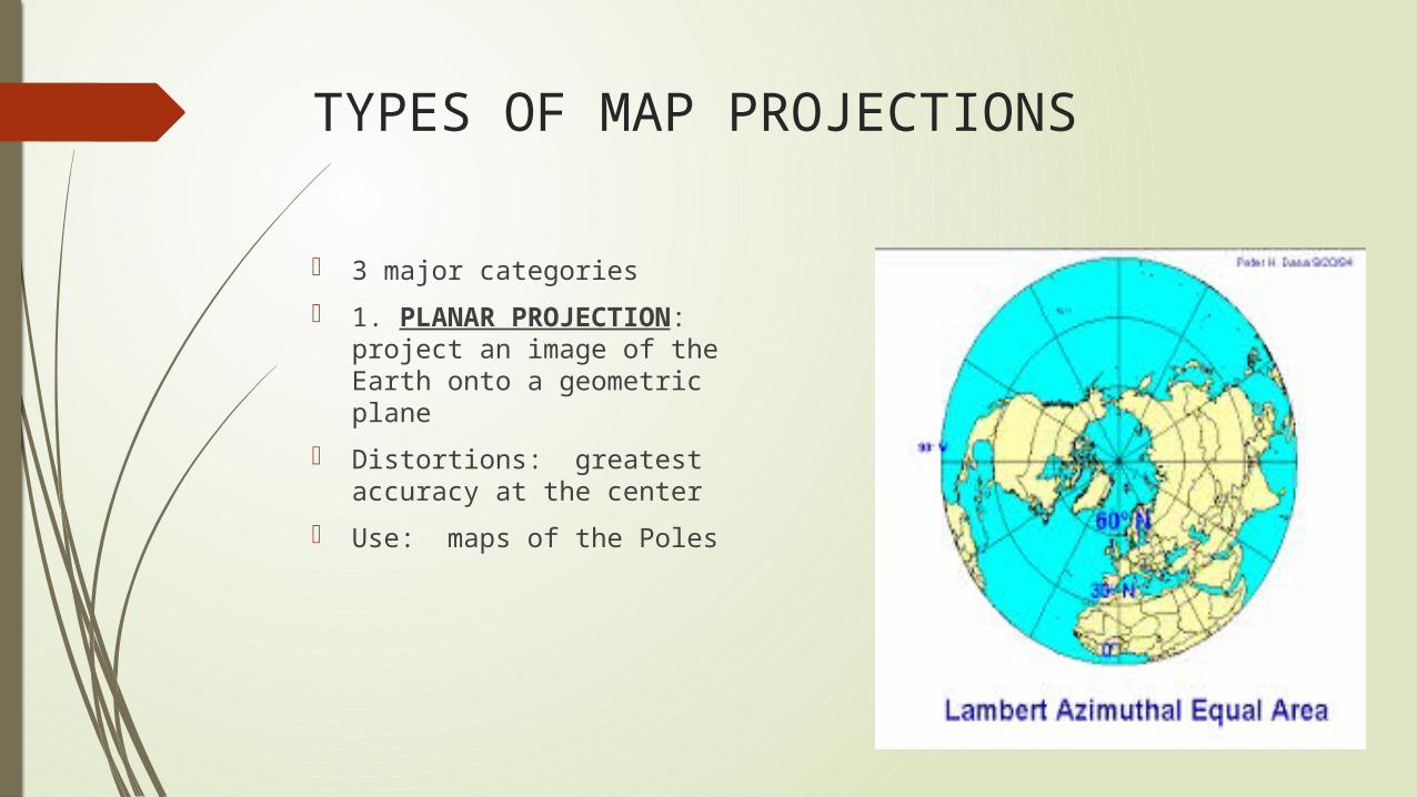
TYPES OF MAP PROJECTIONS
3 major categories
1. PLANAR PROJECTION: project an image of the Earth onto a geometric plane
Distortions: greatest accuracy at the center
Use: maps of the Poles
TYPES CONTINUED
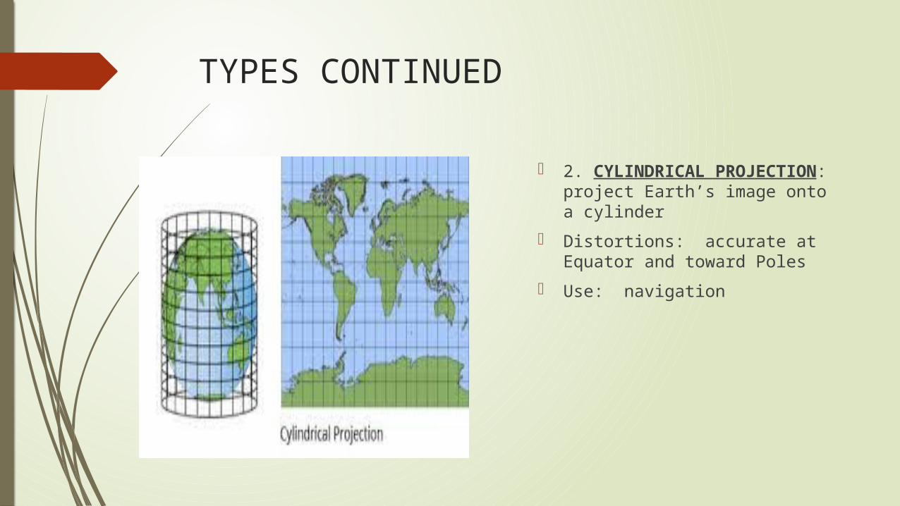
2. CYLINDRICAL PROJECTION: project Earth’s image onto a cylinder
Distortions: accurate at Equator and toward Poles
Use: navigation
TYPES CONTINUED
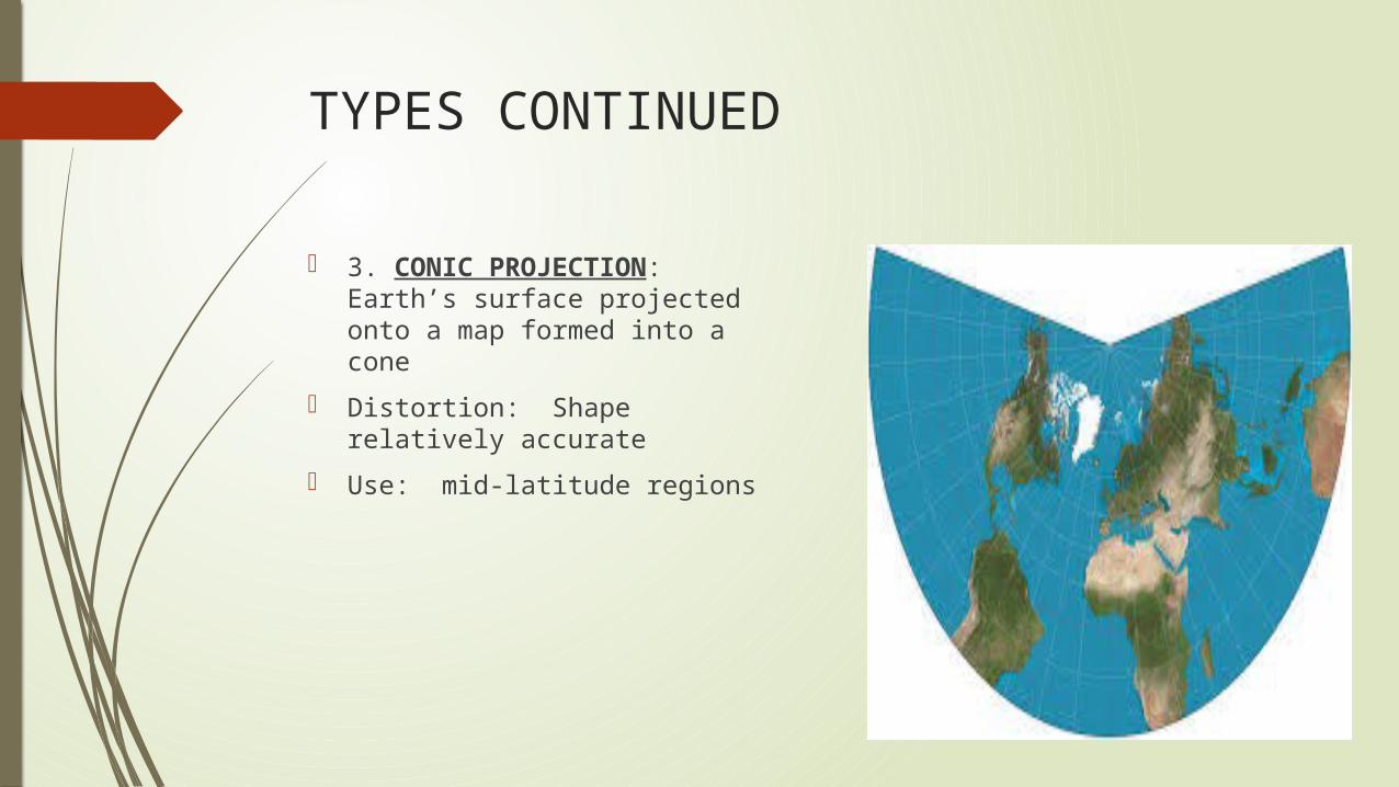
3. CONIC PROJECTION: Earth’s surface projected onto a map formed into a cone
Distortion: Shape relatively accurate
Use: mid-latitude regions
OTHERS
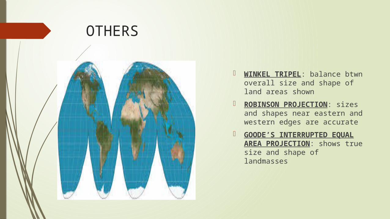
WINKEL TRIPEL: balance btwn overall size and shape of land areas shown
ROBINSON PROJECTION: sizes and shapes near eastern and western edges are accurate
GOODE’S INTERRUPTED EQUAL AREA PROJECTION: shows true size and shape of landmasses
DETERMINING LOCATION
GRID SYSTEM
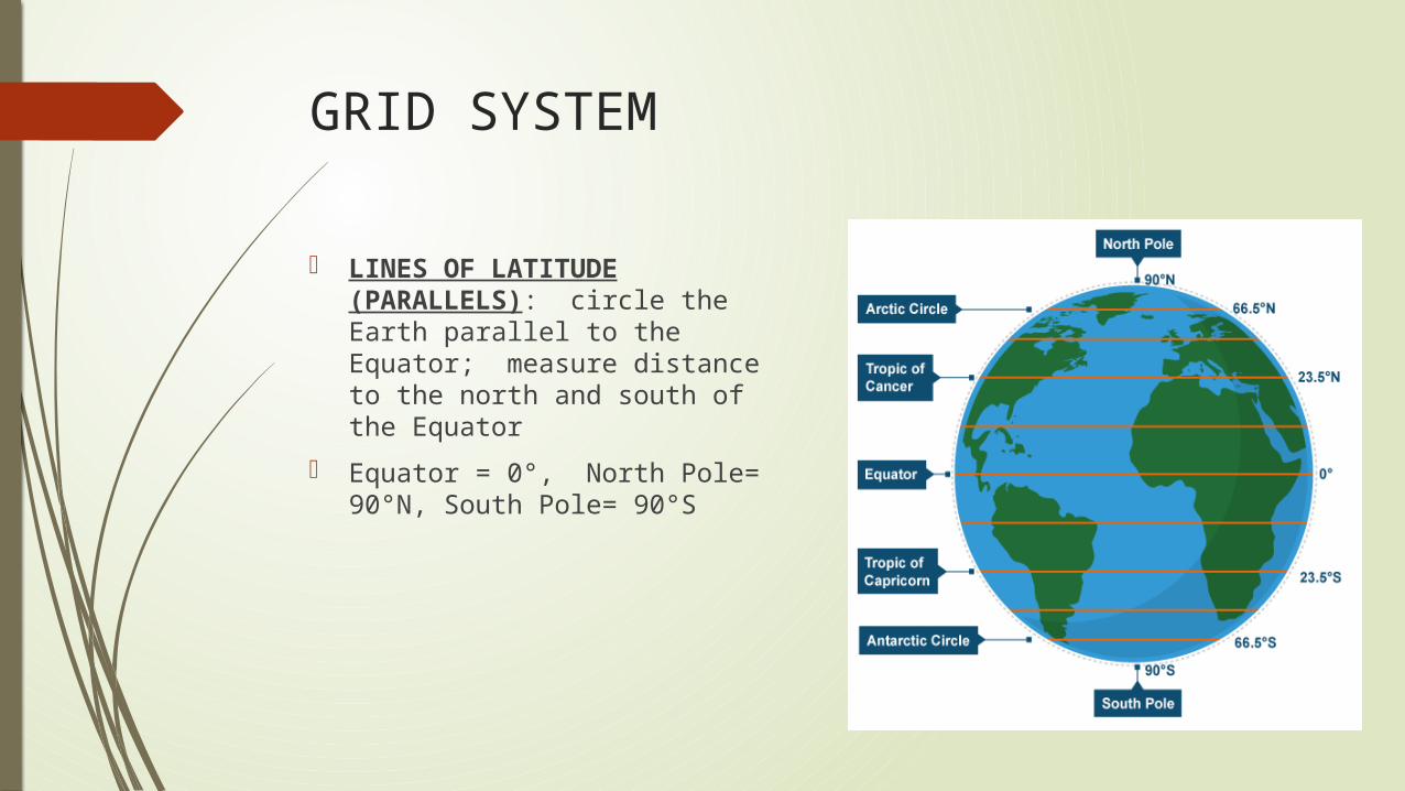
LINES OF LATITUDE (PARALLELS): circle the Earth parallel to the Equator; measure distance to the north and south of the Equator
Equator = 0°, North Pole= 90°N, South Pole= 90°S
GRID CONTINUED
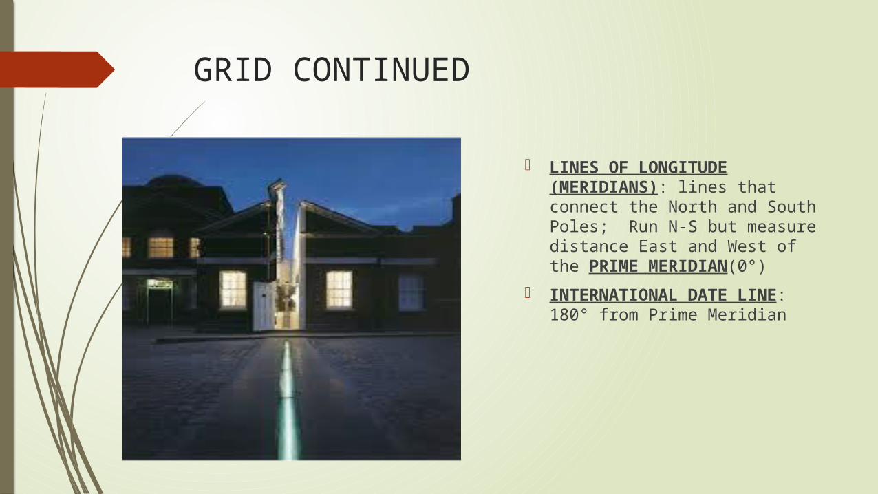
LINES OF LONGITUDE (MERIDIANS): lines that connect the North and South Poles; Run N-S but measure distance East and West of the PRIME MERIDIAN(0°)
INTERNATIONAL DATE LINE: 180° from Prime Meridian
ABSOLUTE LOCATION
Def: exact location
Each degree is divided into 60 minutes (‘); each minute is divided into 60 seconds (“)
RELATIVE LOCATION
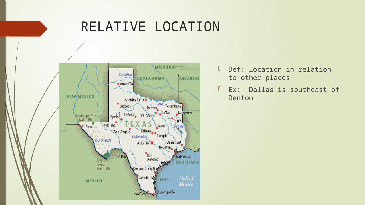
Def: location in relation to other places
Ex: Dallas is southeast of Denton
USING MAPS
PARTS OF A MAP
Purpose (title)
Time period
Legend/Key: identifies symbols/icons on map
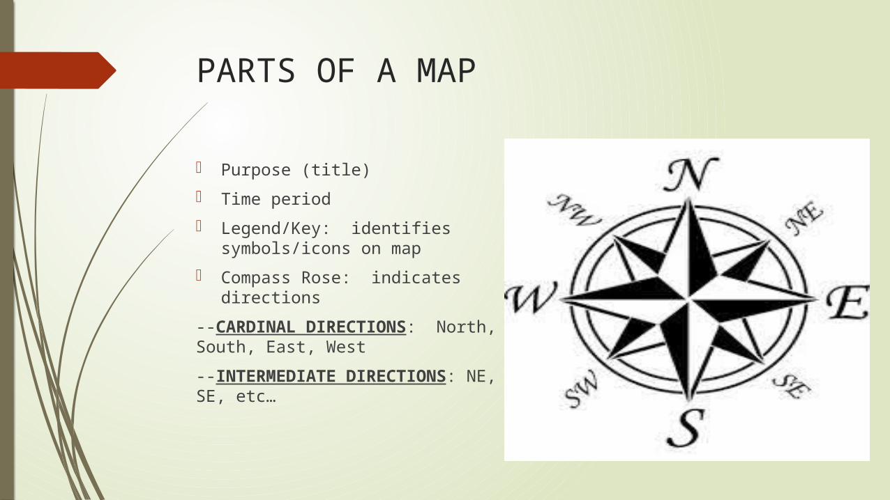
Compass Rose: indicates directions
--CARDINAL DIRECTIONS: North, South, East, West
--INTERMEDIATE DIRECTIONS: NE, SE, etc…
PARTS CONTINUED
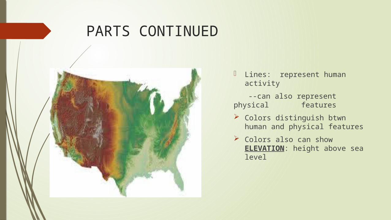
Lines: represent human activity
--can also represent physical features
Colors distinguish btwn human and physical features
Colors also can show ELEVATION: height above sea level
PARTS CONTINUED
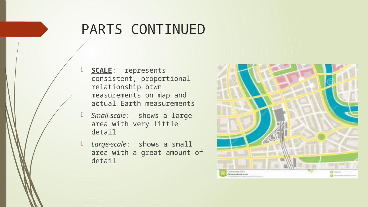
SCALE: represents consistent, proportional relationship btwn measurements on map and actual Earth measurements
Small-scale: shows a large area with very little detail
Large-scale: shows a small area with a great amount of detail
TYPES OF MAPS
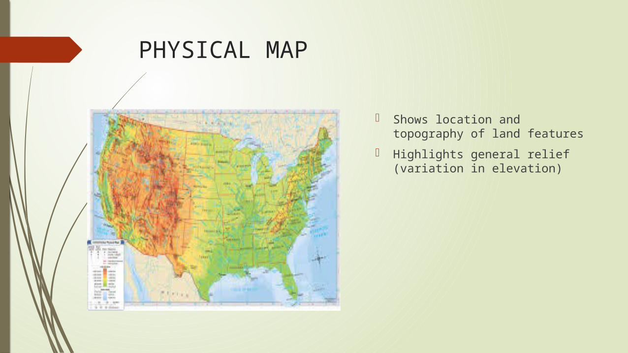
PHYSICAL MAP
Shows location and topography of land features
Highlights general relief (variation in elevation)
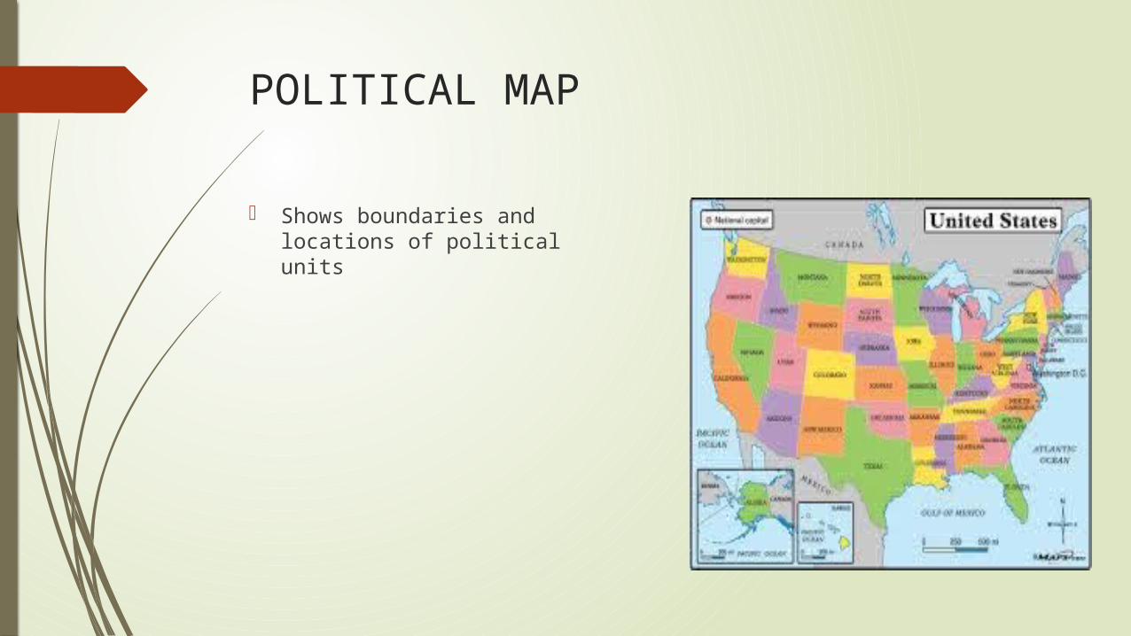
POLITICAL MAP
Shows boundaries and locations of political units
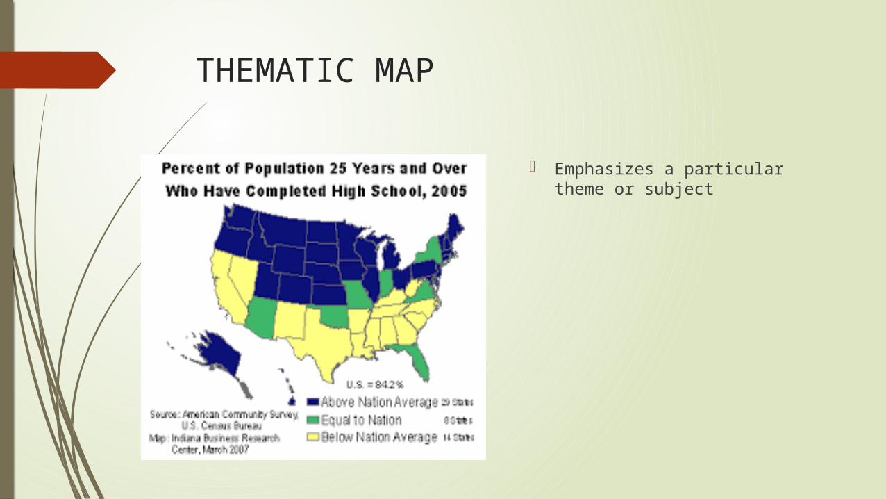
THEMATIC MAP
Emphasizes a particular theme or subject
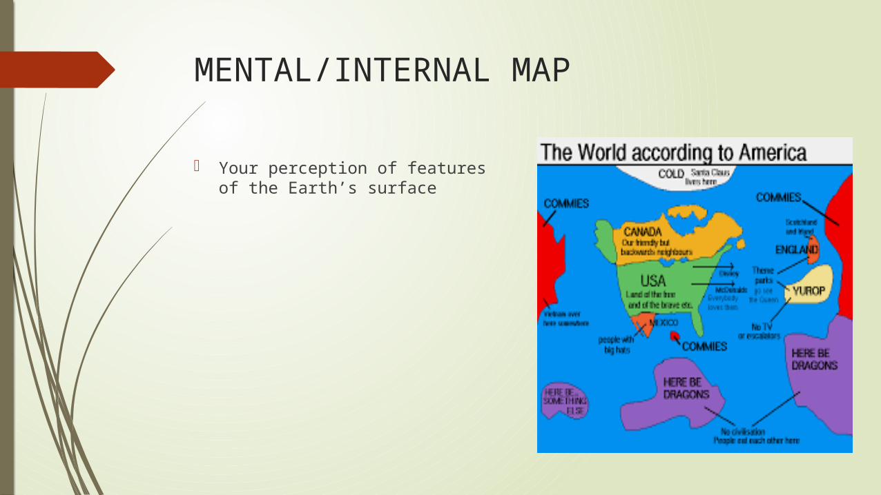
MENTAL/INTERNAL MAP
Your perception of features of the Earth’s surface
GEOSPATIAL TECHNOLOGIES
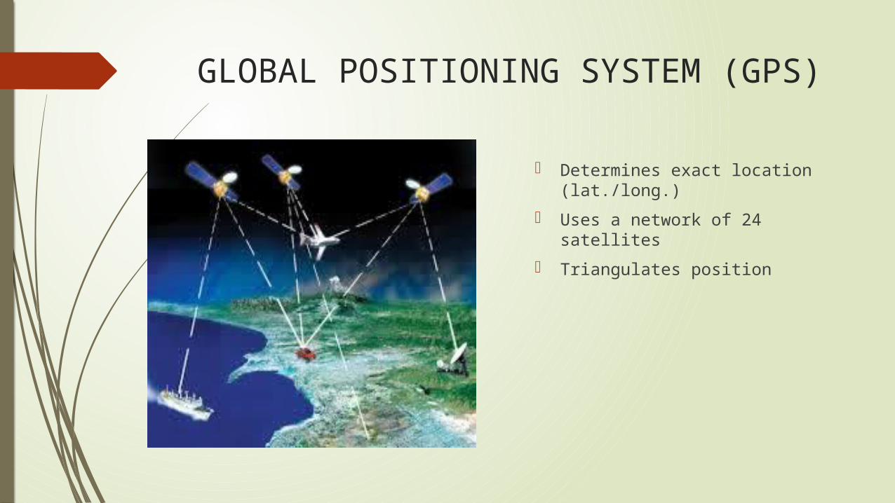
GLOBAL POSITIONING SYSTEM (GPS)
Determines exact location (lat./long.)
Uses a network of 24 satellites
Triangulates position
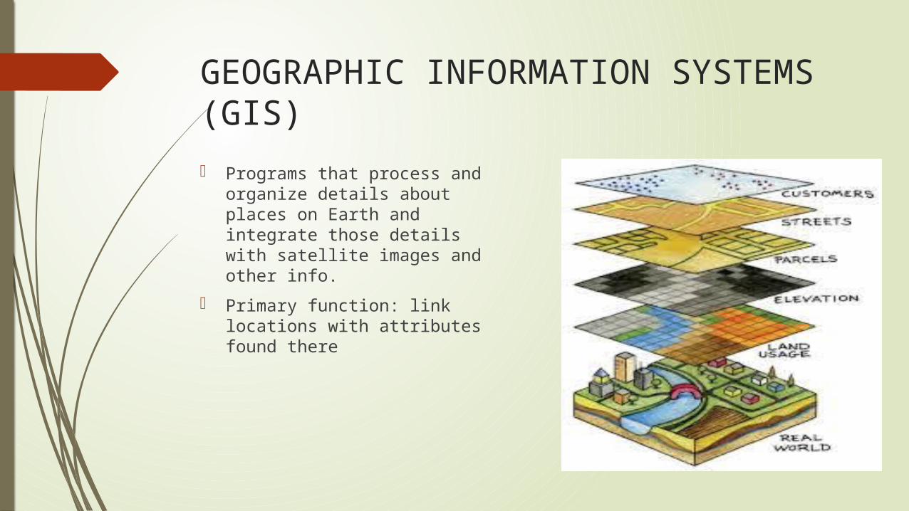
GEOGRAPHIC INFORMATION SYSTEMS (GIS)
Programs that process and organize details about places on Earth and integrate those details with satellite images and other info.
Primary function: link locations with attributes found there
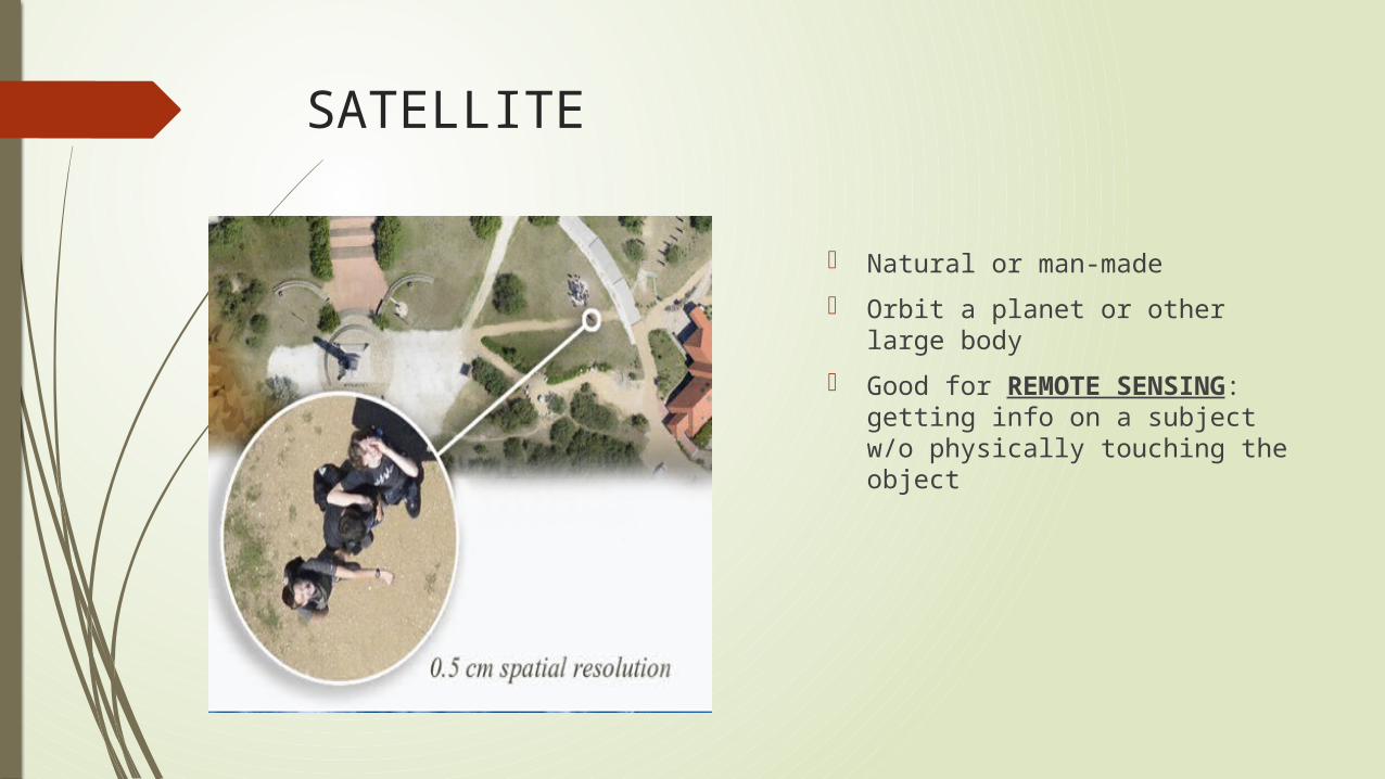
SATELLITE
Natural or man-made
Orbit a planet or other large body
Good for REMOTE SENSING: getting info on a subject w/o physically touching the object
PART 2: THE GEOGRAPHER’S CRAFTHow does geography help us interpret the past, understand the present, and plan for the future?
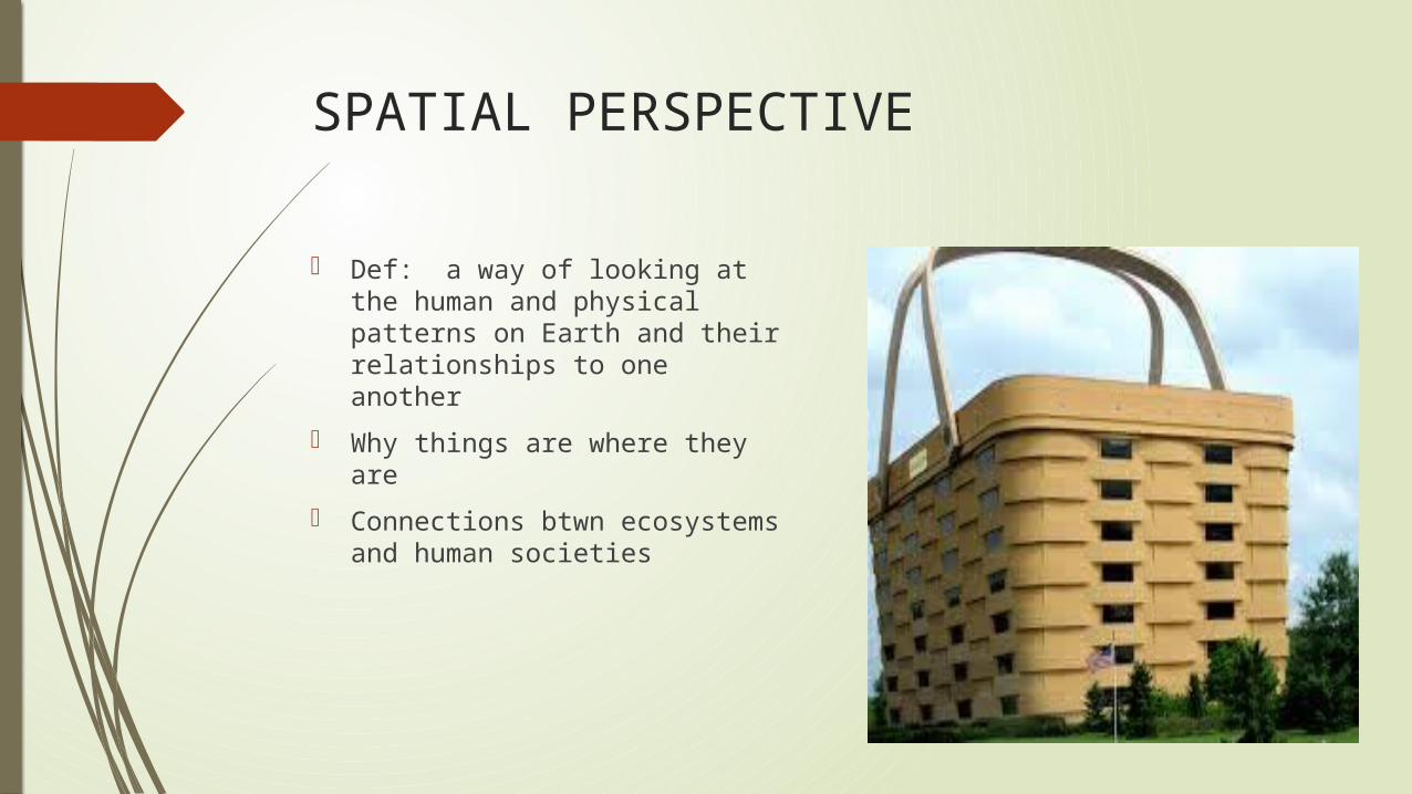
SPATIAL PERSPECTIVE
Def: a way of looking at the human and physical patterns on Earth and their relationships to one another
Why things are where they are
Connections btwn ecosystems and human societies
ELEMENTS OF GEOGRAPHY
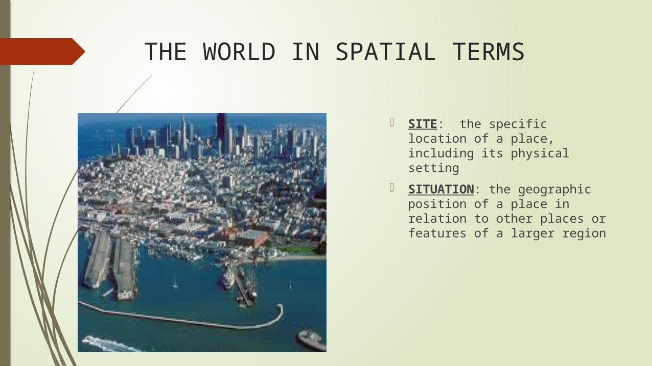
THE WORLD IN SPATIAL TERMS
SITE: the specific location of a place, including its physical setting
SITUATION: the geographic position of a place in relation to other places or features of a larger region
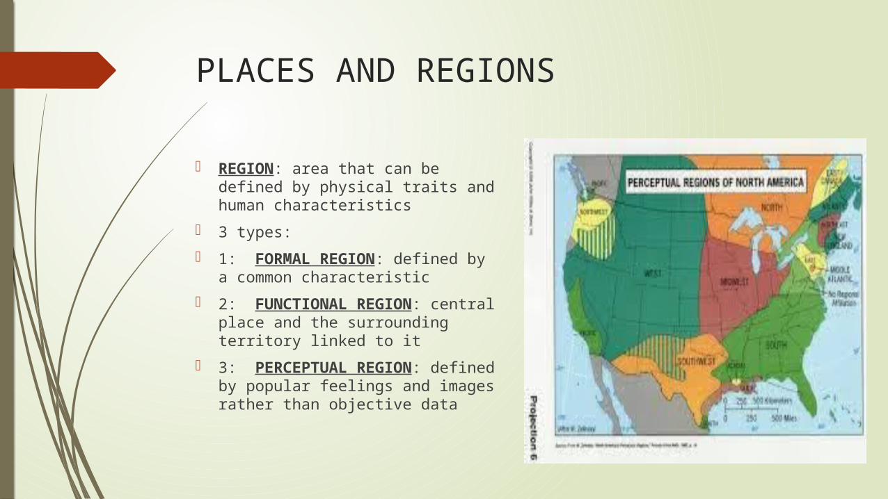
PLACES AND REGIONS
REGION: area that can be defined by physical traits and human characteristics
3 types:
1: FORMAL REGION: defined by a common characteristic
2: FUNCTIONAL REGION: central place and the surrounding territory linked to it
3: PERCEPTUAL REGION: defined by popular feelings and images rather than objective data
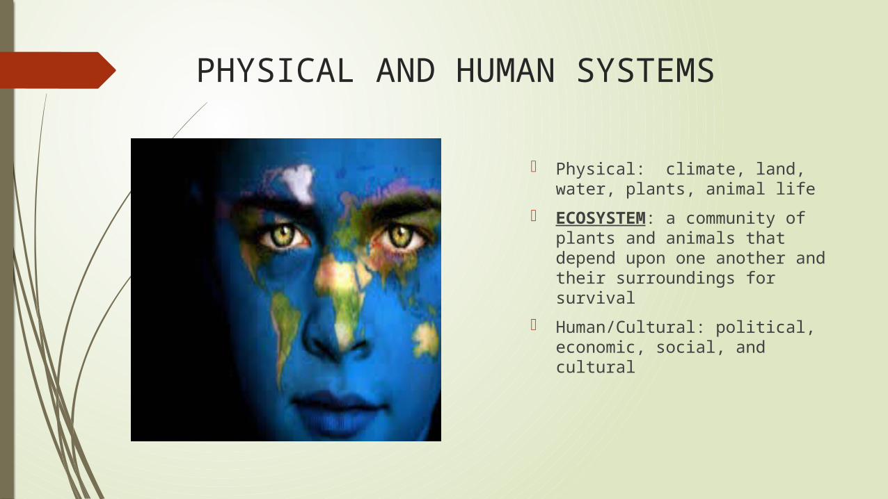
PHYSICAL AND HUMAN SYSTEMS
Physical: climate, land, water, plants, animal life
ECOSYSTEM: a community of plants and animals that depend upon one another and their surroundings for survival
Human/Cultural: political, economic, social, and cultural
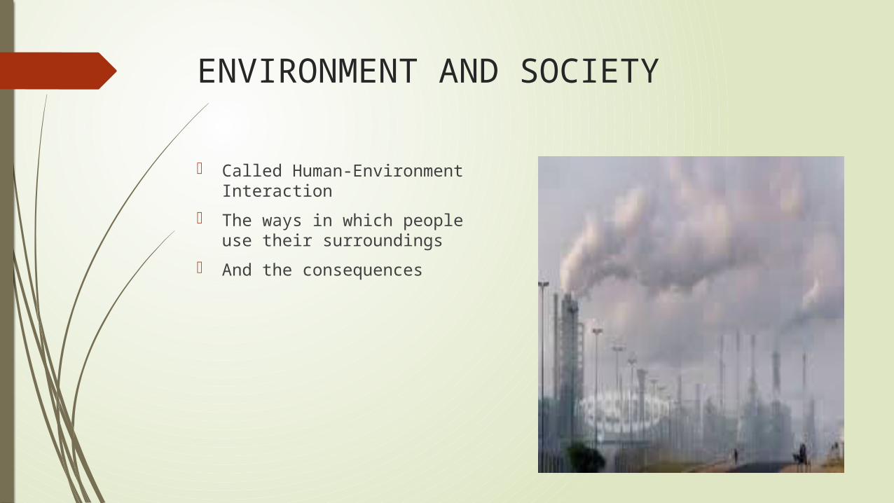
ENVIRONMENT AND SOCIETY
Called Human-Environment Interaction
The ways in which people use their surroundings
And the consequences
GEOGRAPHY AND OTHER SUBJECTS
Geo’s obtain data from numerous fields
Death rates, disease, natural disasters, census data
All show FLUCTUATIONS (shift from a previous condition) in population