hospital access in upstate new york david johnston epi 621 april 27, 2010
DESCRIPTION
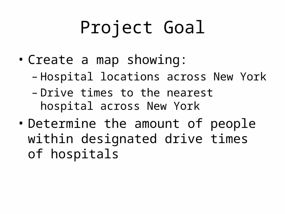
Project Goal Create a map showing: – Hospital locations across New York – Drive times to the nearest hospital across New York Determine the amount of people within designated drive times of hospitalsTRANSCRIPT

Hospital Access in Upstate New York
David JohnstonEPI 621April 27, 2010

Introduction
• Access to healthcare is an important aspect of public health– Emergency situations• Traumas involving car accidents or major disasters
where rapid care is vital to survival
– Non-emergency situations• People who live farther away from healthcare facilities
may be less likely to go for care when they should
• Determining areas that need better coverage
Project Goal
• Create a map showing:– Hospital locations across New York– Drive times to the nearest hospital across New
York• Determine the amount of people within
designated drive times of hospitals

Methods

Data Collection
• Hospitals– List of hospitals and addresses from internet– Checked against hospital list on DOH website– Converted addresses to latitude/longitude using
online batch converter– Added to the hospital list, saved as CSV and
imported into ArcMap

http://www.stevemorse.org/jcal/latlonbatch.html?direction=forward

Data Collection
• Roads– ALIS (Accident Location Information System)– Street Centerline Data
• Population data– 2000 Census – Block group level

Calculating Drive Times
• Network Analyst– ArcGIS Extension– Can be used to calculate routes, service areas,
closest facilities etc…

Step 1: Create new Network Dataset
Step 2: Create “New Service Area”
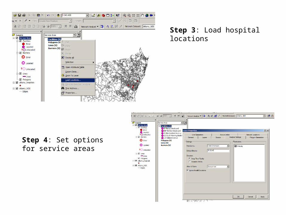
Step 3: Load hospital locations
Step 4: Set options for service areas
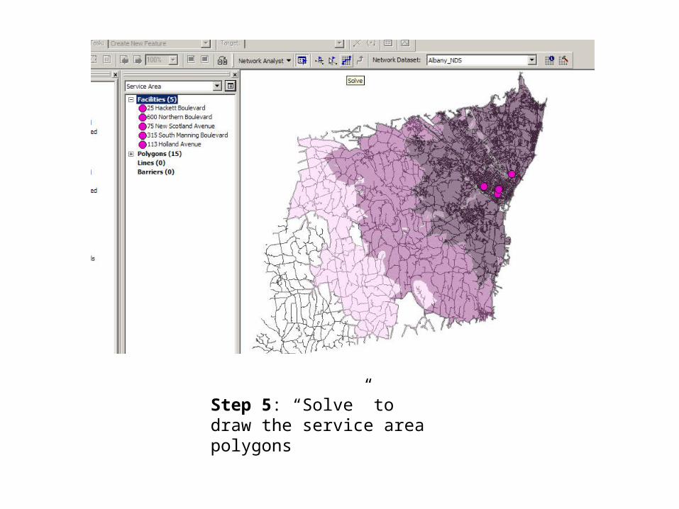
Step 5: “Solve” to draw the service area polygons

Results


Population Distribution by Drive Times
Driving Time (Minutes) Population Percent0-15 4,640,912 66.03%
15-30 1,823,966 25.95%30-45 436,891 6.22%
>45 127,223 1.81%


Conclusions
• Limitations– Border-effect– Only accounts for hospitals, no other service
facility• Further research– Cluster/spatial analysis of areas with low access– Determine coverage for specialty areas such as
cardiac facilities, pediatrics etc…

Questions?