hmk – swedish handbook in surveying and mapping – swedish handbook in surveying and mapping a...
TRANSCRIPT
HMK – Swedish handbook in surveying and mapping A Alfredsson, J Sunna, L Jämtnäs
NKG General Assembly 2014 Göteborg, 1 – 4 September 2014

Outline
• Background • The HMK project in general • The geodetic part of HMK
– Structure – Guidelines
• Time plan
Background
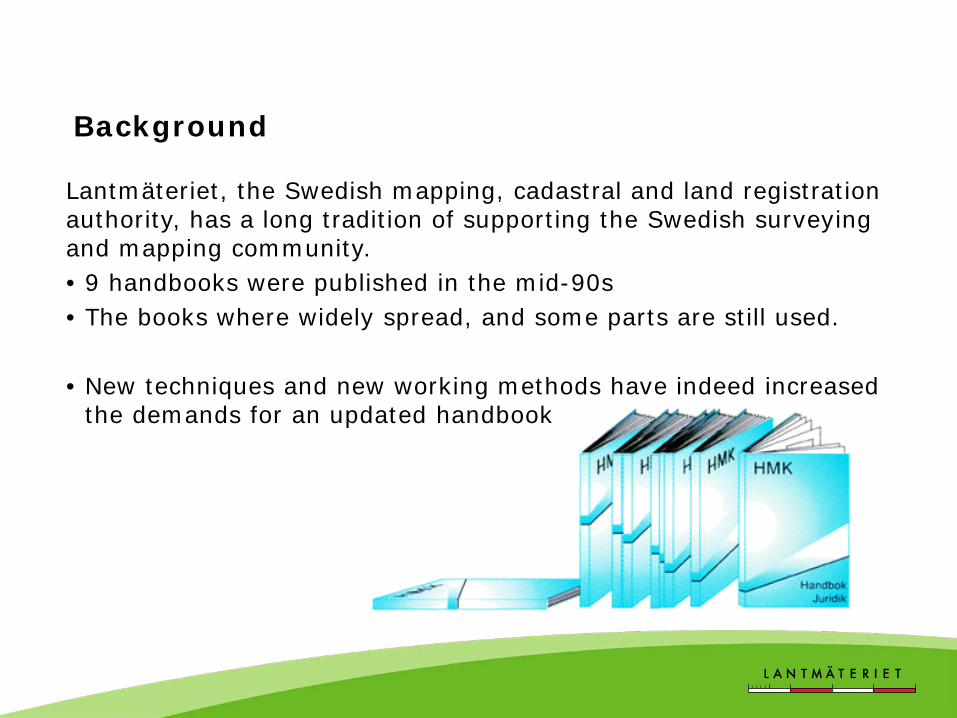
Lantmäteriet, the Swedish mapping, cadastral and land registration authority, has a long tradition of supporting the Swedish surveying and mapping community. • 9 handbooks were published in the mid-90s • The books where widely spread, and some parts are still used.
• New techniques and new working methods have indeed increased
the demands for an updated handbook

The HMK project
HMK Geodata capture • Aerial photography • Photogrammetric surveying • Laser scanning • Orthophoto • Digital elevation models.
HMK Geodesy • Knowledge base • Guidelines • Support to choose method
HMK Introduction • An overview of the different documents • A document describing geodata quality • Dictionary and a list of used abbreviations

Structure of the geodetic part
Guidelines
Knowledge base
GNSS -RTK
-Static GNSS -DGNSS*
-PPP*
Support to choose method
Terrestrial surveying -Total station
-Levelling
Handbook Pr
ocur
emen
t

Knowledge base
• Information concerning the geodetic infrastructure in Sweden – reference systems and frames – map projections – geodetic surveying in general
• Can be used in an educational purpose.

The guidelines will be described with different “quality levels”
• ”Quality levels” describe a set of recommended procedures for a given surveying technique.
• The purpose of such procedures is to ensure that expected levels of measurement uncertainty can be attained.
• The “quality levels” will be described by parameters that can be adjusted by the user to reach different levels of expected uncertainty.

GNSS - RTK
Examples of user procedures that directly or indirectly affect measurement uncertainty with network-RTK. • Directly:
– observation time (session length) – number of sessions – time separation of sessions etc.
• Indirectly: – constraints on satellite geometry (elevation/DOP filters)
Level Session length Number of sessions
Session separation
I ≥ 3 seconds 1 - II ≥ 10 seconds 1 - III ≥ 10 seconds 2 10-20 minutes IV ≥ 30 seconds 2 15-30 minutes V ≥ 180 seconds 3 20-45 minutes

RTK - Establishing observation parameters Data collection campaign during summer 2014
– Analysis on-going Height position uncertainty, 95th percentile (coverage factor k ≈ 2) estimated as 20 mm Preconditions: - 35 km network - 13 km rover baseline - Low-moderate ionosphere
Analysis of time separation derived from autocorrelation function of RTK time series.
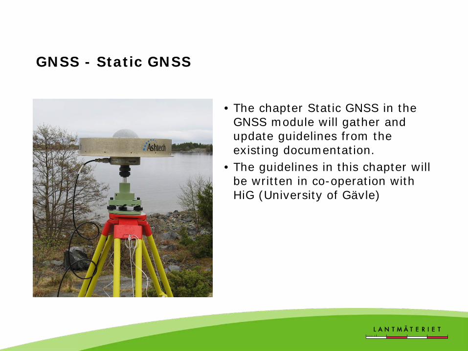
GNSS - Static GNSS
• The chapter Static GNSS in the GNSS module will gather and update guidelines from the existing documentation.
• The guidelines in this chapter will be written in co-operation with HiG (University of Gävle)

Terrestrial surveying
• In the first version the aim is to describe the methods in the old HMK handbooks that are still valid today.
• Later on we will also include guidelines for new methods such as terrestrial/GNSS-methods and terrestrial laser scanning.
• The guidelines in this section will be written in co-operation with KTH (Royal Institute of Technology, Stockholm)

Support to choose method
• Tables with specified parameters to all described methods.
• Expected uncertainty is the initial parameter.
• References to the guidelines. • Can be used in a procurement
process.
Suitable techniques
Conditions Possible access to benchmarks, Network-RTK, communication etc.
Method adjustment Recommended adjustments in the method due to environment etc.
Expected uncertainty
Recommended technique and method.
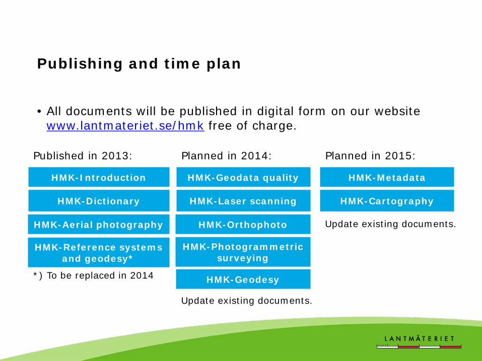
Publishing and time plan
• All documents will be published in digital form on our website www.lantmateriet.se/hmk free of charge.
HMK-Dictionary
HMK-Aerial photography
HMK-Introduction
HMK-Reference systems and geodesy*
Published in 2013:
*) To be replaced in 2014
HMK-Laser scanning
HMK-Orthophoto
HMK-Geodata quality
HMK-Photogrammetric surveying
Planned in 2014:
HMK-Geodesy
HMK-Cartography
HMK-Metadata
Planned in 2015:
Update existing documents.
Update existing documents.

Spread the word… Roadshow 2015
• The HMK project will arrange about 10 workshops in different places around Sweden in 2015.
• The workshops will meet, describe and help the user community to use the HMK documentation.