hlpf 2020 - wfeo.org
TRANSCRIPT
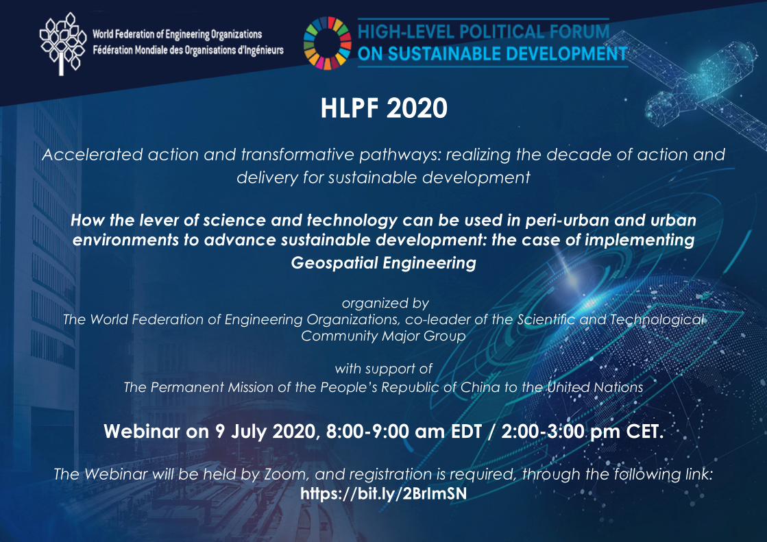
HLPF 2020Accelerated action and transformative pathways: realizing the decade of action and
delivery for sustainable development
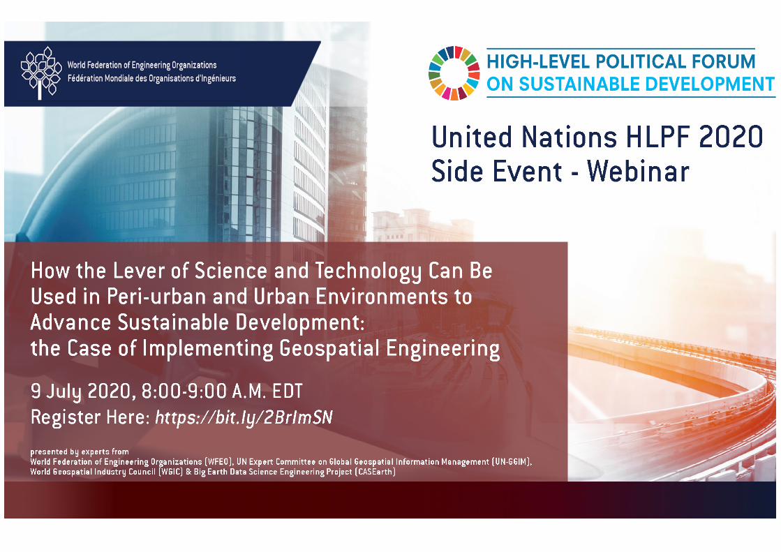
How the lever of science and technology can be used in peri-urban and urban environments to advance sustainable development: the case of implementing
Geospatial Engineering
organized byThe World Federation of Engineering Organizations, co-leader of the Scientific and Technological
Community Major Group
with support of The Permanent Mission of the People’s Republic of China to the United Nations
Webinar on 9 July 2020, 8:00-9:00 am EDT / 2:00-3:00 pm CET.
The Webinar will be held by Zoom, and registration is required, through the following link:https://bit.ly/2BrImSN
To achieve the 17 SDGs and to leave no one behind, integrated geospatial technology and building information modelling (BIM) are found to be critical. Geospatial and BIM solutions, enabled by the fourth industrial revolution (4IR) technologies such as Artificial Intelligence (AI), Internet of Things (IoT) or Big Data, can give accurate and high-resolution data, techniques and tools to provide a balanced assessment and solutions.
The COVID-19 crisis has demonstrated that the SDGs 2030 Agenda is more relevant than ever, and that emerging technologies are needed to address the challenge of building resilient communities and infrastructures. Geospatial technology facilitation is a major pillar for the implementation of the 2030 Agenda. To eradicate poverty, meet the challenges of urban planning, to develop resilient and sustainable cities, and to reorient the current unsustainable development trajectories - technology solutions have to be developed and disseminated widely over the next ten years. It is imperative that both public and private sectors collaborate to move cities towards achieving the 2030 Agenda using science, technology and engineering as a lever of transformation for urban planning and land use, high-quality infrastructure and public services, transport systems, and digital connectivity.
The confluence of geospatial and engineering tools helps to gather and integrate data from varied sources and offer cutting-edge analysis to garner actionable insights by better visualization of a variety of challenges. Moreover, 3D maps and data modelling systems help to discern adaptive patterns for real-case scenarios imperative for the development of resilient and sustainable cities. Above all this, using a wealth of geospatial information and geospatial technologies – city planners and policy makers can increase nature-based solutions to adapt for climate change, address pollution, reduce CO2 emissions, taking into account the needs for a circular economy and resilient and sustainable cities.Resilient infrastructure is required to absorb shocks and have economies self-organize themselves during periods of disaster and crisis. Integrated geospatial and BIM technologies backed by 4IR technologies have a critical role to play in decoupling the economic development from environmental degradation as defined under the UNSDGs.
This session will include an approach to using geospatial information technologies as an example of how the lever of science and technology can be used in peri-urban and urban environments to advance sustainable development. Geospatial technologies have applications that can affect policies to address income inequality (SDG1), health (SDG 3), education (SDG4), Natural disaster response and impacts of climate change (SDG13) and the development of sustainable smart cities (SDG11). A release of a publication of case studies that present a road map on the implementation of these technologies in a wide range of environments is proposed. This publication has been produced jointly by the World Federation of Engineering Organizations (WFEO), the World Geospatial Industry Council (WGIC) and the UN Committee of Experts of Global Geospatial Information Management (UN GGIM). This document will demonstrate the transformative pathways to achieve sustainable development with advanced technologies.In a broader perspective, the session will address the question of what sustainable cities and communities mean, in the aftermath of a global health, economic and social crisis. What do we know about how to apply levers of system change and redirect the post-pandemic recovery in sustainable directions? What are the best tools we have now to identify and implement transformative pathways, at global scale? How can transformative processes be steered to worthy ends?
Introduction: Dr He Fuxiang, Scientific Counsellor, Chinese permanent mission to the UNModerator: Prof. Gong Ke, President World Federation of Engineering Organizations
Keynote speakers:
Mr Sanjay Kumar – CEO World Geospatial Industry Council, Launch of the Joint Publication by World Geospatial Industry Council, World Federation of Engineering Organizations and UN Committee of Experts on Global Geospatial Information Management: “GEOBIM Solutions for Resilient Infrastructure”This presentation will show the value of Integrated Geospatial and Building Information Modelling (BIM) solutions to advance the United Nations Sustainable Development Goals (Agenda 2030) with specific focus on resilient infrastructure. Resilient Infrastructure is the ability of an asset to resist, absorb,accommodate and recover the disturbances caused by a hazard in a timely and efficient manner, and include the preservation and restoration of its essential basic structures and functions. Why is infrastructure resilience imperative, and how can BIM solutions contribute? Three case studies will be presented, on city resilience to natural disaster, earthquake reaction and climate change adaptation by machine control and data modelling.
Mr Gregory Scott, Secretariat, UN Committee of Experts on Global Geospatial Information Management “Geospatial Engineering: A Lever to Assist Developing Countries to Bridge the Geospatial Digital Divide”Geospatial engineering, digital transformation, innovation, and science and technology are powerful enablers to assist developing countries to stimulate and respond to rapid change, leapfrog outdated technologies and processes, to bridge the geospatial digital divide – and to achieve the implementation of the SDGs. However, these technology enablers only provide the first part of the solution. Reliable, timely, accessible and disaggregated data is the second part of the solution. Data from many sectors is urgently needed to continuously track, measure and monitor progress towards achieving the broad and multi-dimensional SDGs. The third part of the solution is the technology and data integration. The development of a robust national geospatial data ecosystem and associated integrative geospatial frameworks. This presentation will briefly discuss the technology enablers, data and integration dimensions of bridging the geospatial digital divide and achieving the SDGs.
Dr Marlene Kanga, Immediate past president, WFEO, and project leader for WFEO on the publication to be released: “Implementation of Geospatial Technologies for Sustainable and Smart Cities”This paper will present an overview of the importance of science and engineering as one of the four levers to advance the UN Sustainable Development goals and the importance of urban and peri-urban environments i.e. smart cities in providing a pathway to accelerate the achievement of the Goals. It presents three case studies which demonstrates the effective implementation of geospatial technology in smart cities – for flood mapping, mitigation and response, for smart urban planning converting geographical and planning information into 3D and 4D digital data and for mapping social issues such as the spread of COVID-19. Links to live date using this information will be demonstrated.
Prof. Guo Huadong, Director-General of the Institute of Remote Sensing and Digital Earth (RADI), Chinese Academy of Sciences (CAS): “Big Earth Data for Urban and Peri-urban Development”Sustainable cities and communities are central to achieving all 17 SDGs. The transformative process that shapes sustainable urbanization need to be understood. As an important aspect of technological innovation, Big Earth Data can offer a new key to generate knowledge about the Earth, playing a major role in promoting sustainable development. To shape science-based policies and data-driven decision mechanism in service of the SDGs, Chinese Academy of Sciences (CAS) has initiated the “Big Earth Data Science Engineering Program” (CASEarth) since 2018. CASEarth has conducted 21 practice cases to monitor the progress of SDG indicators centered on urban & peri-urban development. In this presentation, I would like to focus on 8 main themes about urban & peri-urban development, including urban public transportation, road network, open public space, heritage protection, urbanization, pollution, public health, and disaster prevention & mitigation. Our research results have proved that Big Earth Data can fill in much of the data gap for urban & peri-urban sustainable development evaluation. Additionally, we have proposed new methodologies utilizing Big Earth Data technologies and models to improve SDG 11 indicator system. Big Earth Data, as a new approach to sustainability science, can bring great value and potential for the entry points and levers of SDGs for UN member states.
Discussants:
Prof. Raida Al-Alawi, Director of Technology Development at BFG International, Chair of ICT committee of the Federation of Arab engineers, board member of the Bahrain Society of Engineers
Prof. José Vieira, President elect of WFEO, President of European Federation of National Engineering Associations (FEANI)
Ms. Ir. Sanjay Kumar is the Founder, Secretary-General, and CEO of the World Geospatial Industry Council (WGIC). He is also the founder and CEO of Geospatial Media & Communications, a geospatial knowledge organization. A geospatial evangelist and social entrepreneur, he also serves on the boards of the US National Geospatial Advisory Committee, Open Geospatial Consortium, Radiant Earth Foundation, and International Society for Digital Earth. He advises numerous organizations on the importance of geospatial information and knowledge and is involved with the UN-GGIM efforts since its formation.
Mr. Gregory Scott joined the United Nations Statistics Division in early 2012 with the specific task of establishing UN-GGIM and growing its relevance and status with Member States and related International Organizations involved in national, regional and global geospatial information management. In his role as Secretariat, Greg provides strategic policy advice and leadership, and guides the development, coordination and implementation of the substantive content for the Committee of Experts, including its World Geospatial Information Congress, High-Level Forum’s, international technical capacity development workshops, and other international fora.
Dr. Marlene Kanga was President of WFEO (2017-2019), she is a chemical engineer and was National President of Engineers Australia in 2013. Dr. Kanga has been involved with WFEO since 2007. During her term as WFEO President she brought together members, engineering organizations and member states at UNESCO in a collaborative effort to successfully declared 4th March, the founding Day of WFEO, as World Engineering Day. She has been listed among the Top 100 Women of Influence and the Top 100 Engineers in Australia and is a Member of the Order of Australia, a national honor, in recognition of her leadership of the engineering profession.
Bios of the speakers
Huadong Guo is a Professor of the Chinese Academy of Sciences (CAS) Aerospace Information Research Institute. He is a Member of UN 10-Member Group to support the Technology Facilitation Mechanism for SDGs (2018-2020). Prof. Guo specializes in remote sensing, radar for Earth observation, and Digital Earth science. Currently he is the chief scientist of the Big Earth Data Science Engineering Program of CAS. He has published more than 500 papers and 19 books, and is the awardee of 17 domestic and international prizes.
Dr Raida Al-Alawi holds a PhD in Intelligent Systems from Brunel University London, UK(1990). She also holds an MSc in Computer Engineering from University of London (1985) and a BSc in Electrical Engineering from Kuwait University (1983). Dr Raida joined Ahlia University in October 2017, as an associate professor in the College of Engineering. Before this, she was an associate professor in the Department of Electrical & Electronics Engineering at the University of Bahrain.
Prof. Dr. José Manuel Vieira is currently WFEO President-Elect, and President of the European Federation of National Engineering Associations (FEANI) since 2014. José Manuel Vieira is a Full Professor in the Department of Civil Engineering at the University of Minho and Head of Hydraulics Division. Prof. Vieira has more than 35 years’ experience from practically all aspects of engineering activities either in the private or in the public sector. Chairman of the International Water Association (IWA), he was previously Vice-President of the Portuguese Professional Association of Engineers.
Bios of the speakers