global multi-resolution topography update · global multi-resolution topography update vicki...
TRANSCRIPT

Global Multi-Resolution Topography
Update
Vicki Ferrini, John Morton,
Mollie Celnick, Kevin McLain, Frank Nitsche,
Suzanne O’Hara, Suzanne Carbotte
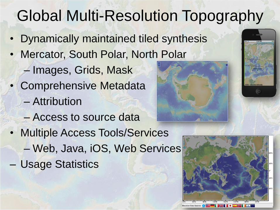
Global Multi-Resolution Topography
• Dynamically maintained tiled synthesis
• Mercator, South Polar, North Polar
– Images, Grids, Mask
• Comprehensive Metadata
– Attribution
– Access to source data
• Multiple Access Tools/Services
– Web, Java, iOS, Web Services
– Usage Statistics

GMRT Grid Components
Contributed
Grids (< 500 m res.)
Global & Regional
Grids (>= 500 m res.)
e.g. GEBCO_2014
*LDEO team processes swath files (public domain, primarily US Academic)
LDEO 100-m MB
compilation*
Land elevation(30-10 m res)
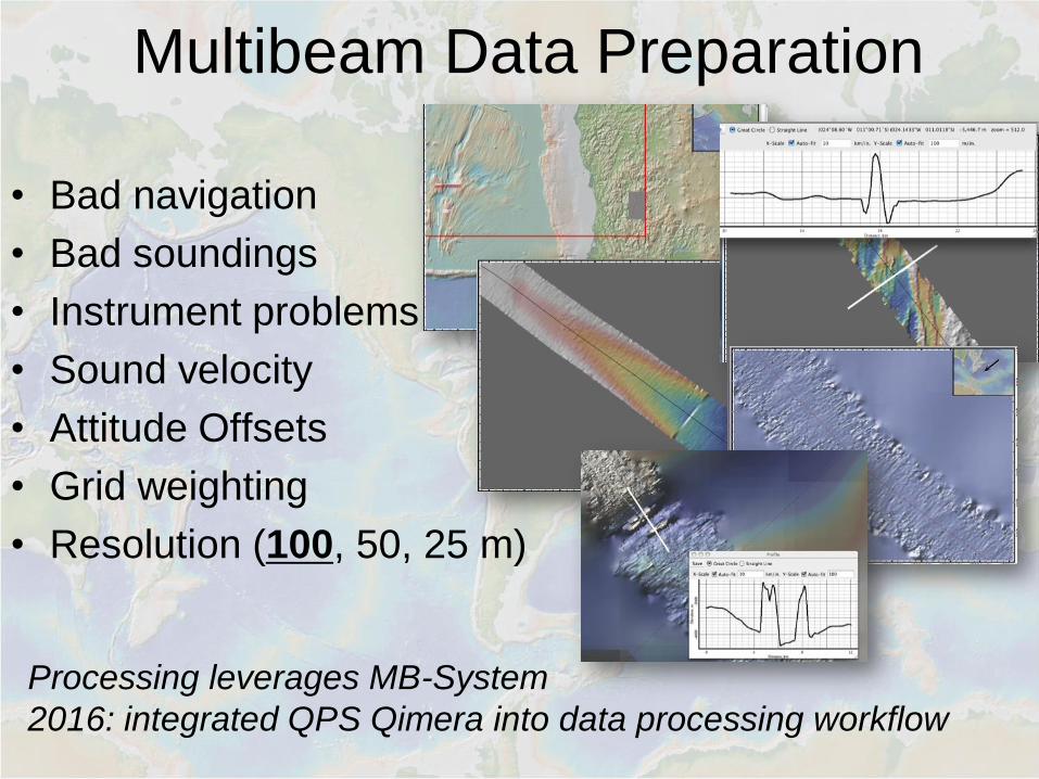
Multibeam Data Preparation
• Bad navigation
• Bad soundings
• Instrument problems
• Sound velocity
• Attitude Offsets
• Grid weighting
• Resolution (100, 50, 25 m)
Processing leverages MB-System
2016: integrated QPS Qimera into data processing workflow

GMRT High-resolution Data
• Processed MB Data [GMRT v3.2]
– Gridded to 100m resolution
– 906 cruises
– 26 ships
– 187,045 swath files
– 4.6 million ship-track km
– 27 million km2 (~ 8% ocean)

GMRT High-resolution Data
• 78 Contributed Grids
• Sources include:
– NOAA
– EMODNET
– Scientists in 8 Nations
• Variable resolution
– 100s m -> 1 m
• Data from Ships &
Submersibles

GMRT – Web Map Services
• Three Projections
– Mercator
– South Polar
– North Polar
• Multiple Components
– Images
– Masked Images
– Tracklines
– Grid extent

GMRT – RESTful Web Services
• Grid Service
• Attribution Service
• Image Server
• Point/Profile Service

Integration and Coordination
Across US Academic Fleet
Data
Acquisition
Data Documentation &
Preservation
Data Reduction &
Synthesis
Goal: Optimize data quality & promote best practices


Code-Sharing: Swath
Coverage Analysis

Integration with GEBCO
• 2011
– Gridded swath content [GMRTv2.0] supplied to GEBCO
• 2014
– GEBCO_2014 release
• 2015
– GEBCO_2014 integrated into GMRT basemap
• 2016
– IBCSO integrated into GMRT SP basemap
– Gridded swath content [GMRTv3.2] supplied to GEBCO
– Processed swath files supplied for Indian Ocean
Regional Compilation
– IBCAO integrated into GMRT NP basemap

Broadening Access
• Disseminate gridded processed swath content
– Google Ocean Basemap
• 2011 & 2015
• Google Earth Tour (400K views)
– ESRI Ocean Basemap
• Release Pending
• Story Map
– NOAA ECS request
• Increasing use of Web Services
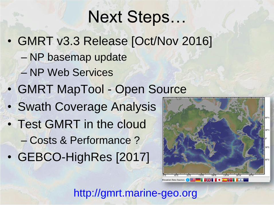
Next Steps…
• GMRT v3.3 Release [Oct/Nov 2016]
– NP basemap update
– NP Web Services
• GMRT MapTool - Open Source
• Swath Coverage Analysis
• Test GMRT in the cloud
– Costs & Performance ?
• GEBCO-HighRes [2017]
http://gmrt.marine-geo.org