gis/cad workflows with fme
TRANSCRIPT
CAD + GISCAD + GISWORKFLOWSWORKFLOWSDaleen Saah, Arup
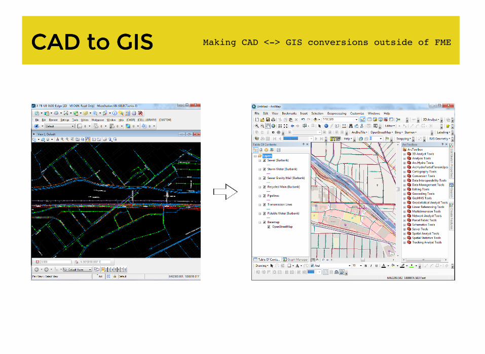
CAD to GISCAD to GIS Making CAD <-> GIS conversions outside of FME
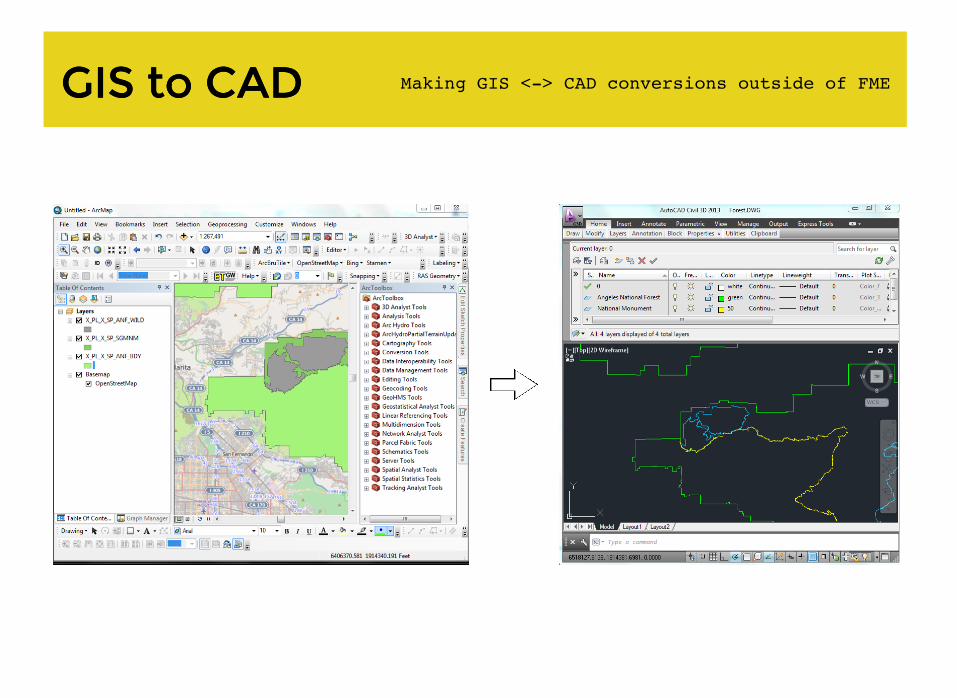
GIS to CADGIS to CAD Making GIS <-> CAD conversions outside of FME

So why use FME?So why use FME?
Ease of re-using models
Ease of enforcing standards
Very stable (minimal crashing)
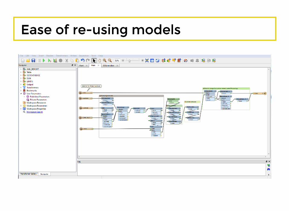
Ease of re-using modelsEase of re-using models

Ease of enforcing standardsEase of enforcing standards

Very stable (minimal crashing)Very stable (minimal crashing)
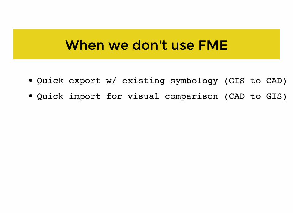
When we don't use FMEWhen we don't use FME
Quick export w/ existing symbology (GIS to CAD)
Quick import for visual comparison (CAD to GIS)

ArcStroker
GeometryFilter
GeometryCoercerAreaBuilder
Favorite TransformersFavorite Transformers
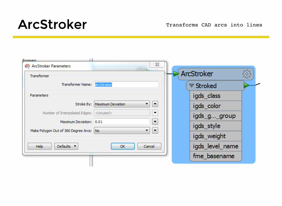
ArcStrokerArcStroker Transforms CAD arcs into lines

GeometryFilterGeometryFilter Transforms geometry types into layers
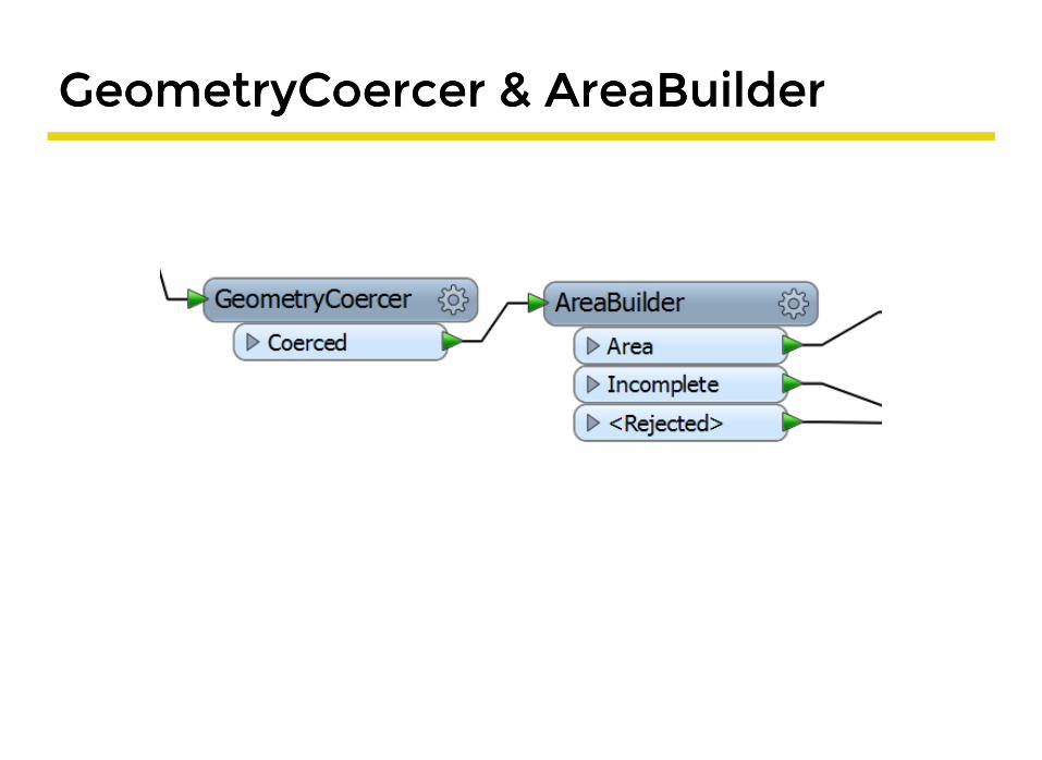
GeometryCoercer & AreaBuilderGeometryCoercer & AreaBuilder

Fan outFan outFanout datasetFanout by attribute

Fan Out DatasetFan Out Dataset
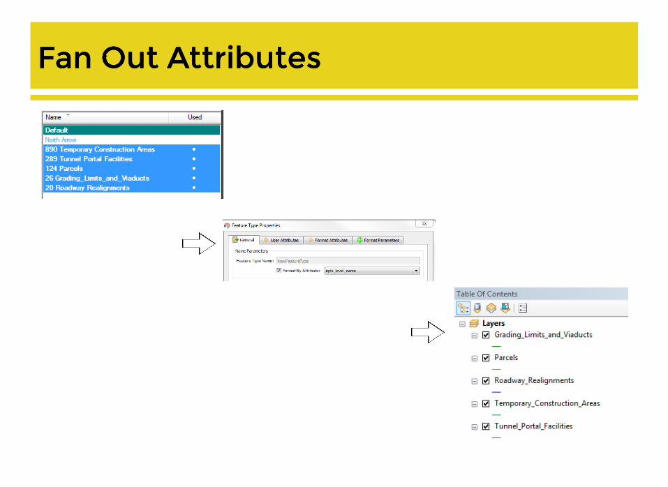
Fan Out AttributesFan Out Attributes
