gis joel, matt, nic & lexi ba 471 – prof. reitsma february 13, 2006
Post on 20-Dec-2015
217 views
TRANSCRIPT

GISGIS
Joel, Matt, Nic & LexiJoel, Matt, Nic & Lexi
BA 471 – Prof. ReitsmaBA 471 – Prof. Reitsma
February 13, 2006February 13, 2006

What is GIS?What is GIS?
Drawn mapsDrawn maps1854 Cholera breakout1854 Cholera breakout1950’s railway 1950’s railway managementmanagementTechnology boomTechnology boom
History & Development of GISHistory & Development of GIS
Figure 1.1Automated MappingFigure 1.2Thematic MappingFigure 1.3Modeling
Uses for GISUses for GISGIS & LogisticsGIS & Logistics

Vector and RasterVector and Raster
► Cannot use both at onceCannot use both at once► RasterRaster
Rows and ColumnsRows and Columns Pixels with defined attributesPixels with defined attributes Discontinous spaceDiscontinous space Superior for computationSuperior for computation
► VectorVector User defined areaUser defined area Object identifiersObject identifiers Continous spaceContinous space Spacial and thematic databaseSpacial and thematic database Superior for precise graphicSuperior for precise graphic
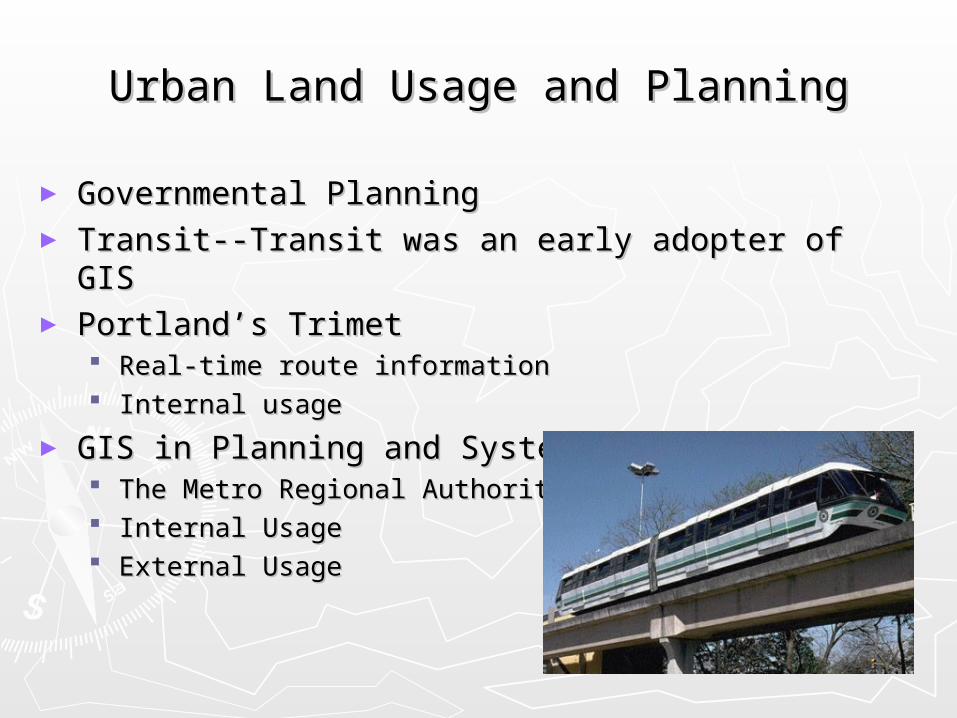
Urban Land Usage and PlanningUrban Land Usage and Planning
► Governmental PlanningGovernmental Planning► Transit--Transit was an early adopter of GIS Transit--Transit was an early adopter of GIS ► Portland’s TrimetPortland’s Trimet
Real-time route informationReal-time route information Internal usageInternal usage
► GIS in Planning and System OperationsGIS in Planning and System Operations The Metro Regional AuthorityThe Metro Regional Authority Internal UsageInternal Usage External UsageExternal Usage

Private Land UsagePrivate Land Usage
► Increased Adoption of GISIncreased Adoption of GIS
► Factors driving increased utilizationFactors driving increased utilization Readily available dataReadily available data Efficient project analysisEfficient project analysis Cost savingsCost savings Property development consultanciesProperty development consultancies
► Available InformationAvailable Information DemographicsDemographics Industry ClustersIndustry Clusters Other AttributesOther Attributes
► Public/Private CollaborationPublic/Private Collaboration

Insurance Risk AssessmentInsurance Risk Assessment
►Why Mapping?Why Mapping?►Easy and quick to access valuable informationEasy and quick to access valuable information►Recognize patterns and trendsRecognize patterns and trends►Serve existing customersServe existing customers►Develop new businessDevelop new business
►UsesUses►Risk ManagementRisk Management►ClaimsClaims►MarketingMarketing

Insurance Risk Assessment Insurance Risk Assessment Cont.Cont.
► Influences Influences ►9/119/11►TerrorismTerrorism►Natural/Manmade DisastersNatural/Manmade Disasters►RedliningRedlining
►BenefitsBenefits►Lower costsLower costs►CustomersCustomers►Better DecisionsBetter Decisions

Governmental UsesGovernmental Uses
►National LevelNational Level►Establish and regulate policiesEstablish and regulate policies►US Gov uses GIS to evaluate Census results US Gov uses GIS to evaluate Census results ►Homeland SecurityHomeland Security►Military DefenseMilitary Defense
►Local LevelLocal Level►Fire/Emergency Medical Services/DisastersFire/Emergency Medical Services/Disasters►TransportationTransportation►Law EnforcementLaw Enforcement

Marketing & GISMarketing & GIS
► Brief History of GIS in MarketingBrief History of GIS in Marketing►GIS Uses to MarketersGIS Uses to Marketers
AppealAppeal RetainRetain
►How its DoneHow its Done Statistical AnalysisStatistical Analysis
►Next StepNext Step Fixing Errors in the SystemFixing Errors in the System New Findings to Benefit Marketers New Findings to Benefit Marketers
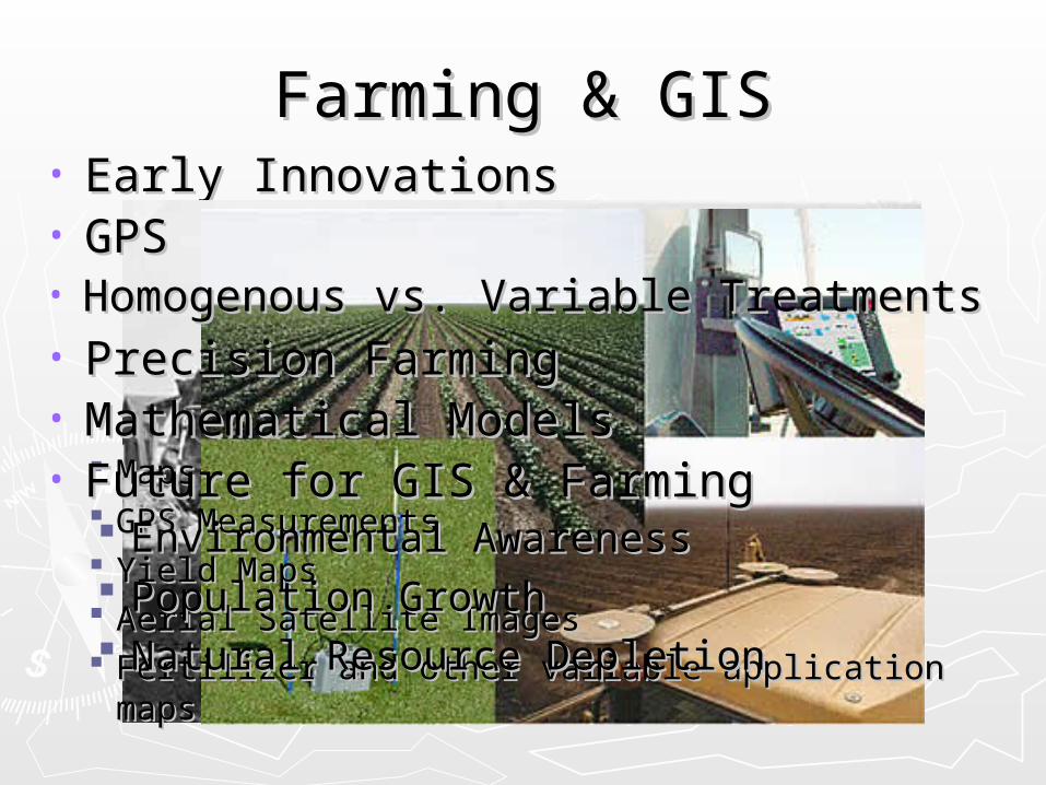
Farming & GISFarming & GIS• Early InnovationsEarly Innovations• GPSGPS• Homogenous vs. Variable TreatmentsHomogenous vs. Variable Treatments• Precision FarmingPrecision Farming• Mathematical ModelsMathematical Models
MapsMaps GPS MeasurementsGPS Measurements Yield MapsYield Maps Aerial Satellite ImagesAerial Satellite Images Fertilizer and other variable application mapsFertilizer and other variable application maps
• Future for GIS & FarmingFuture for GIS & Farming Environmental AwarenessEnvironmental Awareness Population GrowthPopulation Growth Natural Resource DepletionNatural Resource Depletion

Future of GISFuture of GIS
►FutureFuture Increasingly democratized & accessibleIncreasingly democratized & accessible Moving towards standardizationMoving towards standardization Combining Vector & Raster into HybridCombining Vector & Raster into Hybrid

Any Questions?Any Questions?