geospatial toolkit enhancements for ibm infosphere streams v4.0
TRANSCRIPT
© 2015 IBM Corporation
Geospatial Toolkit
IBM InfoSphere Streams 4.0
Samantha Chan
Team Lead, Streams Toolkits Team
For questions about this presentation contact: [email protected]

2 © 2015 IBM Corporation
Important Disclaimer
THE INFORMATION CONTAINED IN THIS PRESENTATION IS PROVIDED FOR INFORMATIONALPURPOSES ONLY.
WHILE EFFORTS WERE MADE TO VERIFY THE COMPLETENESS AND ACCURACY OF THEINFORMATION CONTAINED IN THIS PRESENTATION, IT IS PROVIDED “AS IS”, WITHOUT WARRANTYOF ANY KIND, EXPRESS OR IMPLIED.
IN ADDITION, THIS INFORMATION IS BASED ON IBM’S CURRENT PRODUCT PLANS AND STRATEGY,WHICH ARE SUBJECT TO CHANGE BY IBM WITHOUT NOTICE.
IBM SHALL NOT BE RESPONSIBLE FOR ANY DAMAGES ARISING OUT OF THE USE OF, OROTHERWISE RELATED TO, THIS PRESENTATION OR ANY OTHER DOCUMENTATION.
NOTHING CONTAINED IN THIS PRESENTATION IS INTENDED TO, OR SHALL HAVE THE EFFECT OF:
• CREATING ANY WARRANTY OR REPRESENTATION FROM IBM (OR ITS AFFILIATES OR ITS ORTHEIR SUPPLIERS AND/OR LICENSORS); OR
• ALTERING THE TERMS AND CONDITIONS OF THE APPLICABLE LICENSE AGREEMENTGOVERNING THE USE OF IBM SOFTWARE.
IBM’s statements regarding its plans, directions, and intent are subject to change orwithdrawal without notice at IBM’s sole discretion. Information regarding potentialfuture products is intended to outline our general product direction and it should notbe relied on in making a purchasing decision. The information mentioned regardingpotential future products is not a commitment, promise, or legal obligation to deliverany material, code or functionality. Information about potential future products maynot be incorporated into any contract. The development, release, and timing of anyfuture features or functionality described for our products remains at our solediscretion.
THIS INFORMATION IS BASED ON IBM’S CURRENT PRODUCT PLANS AND STRATEGY, WHICH ARE SUBJECT TO CHANGE BY IBM WITHOUT NOTICE.
IBM SHALL NOT BE RESPONSIBLE FOR ANY DAMAGES ARISING OUT OF THE USE OF, OR OTHERWISE RELATED TO, THIS PRESENTATION OR ANY OTHER DOCUMENTATION.

3 © 2015 IBM Corporation
Agenda
What’s New in Geospatial Toolkit
Demos
4 © 2015 IBM Corporation
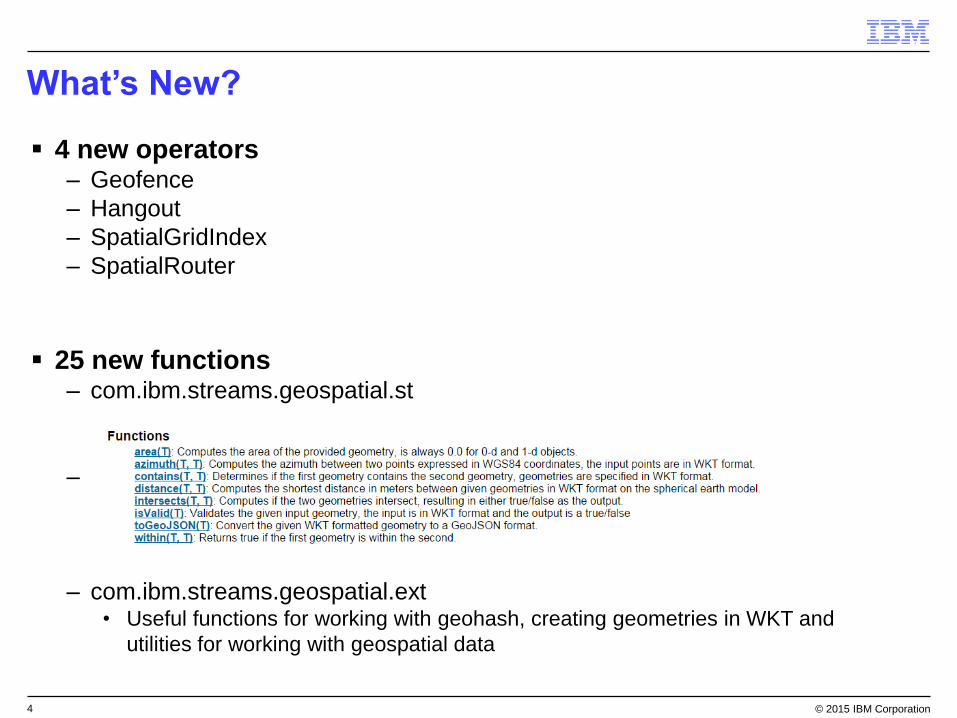
What’s New?
4 new operators– Geofence
– Hangout
– SpatialGridIndex
– SpatialRouter
25 new functions– com.ibm.streams.geospatial.st
–
– com.ibm.streams.geospatial.ext• Useful functions for working with geohash, creating geometries in WKT and
utilities for working with geospatial data

5 © 2015 IBM Corporation
Geofence
Define one or more of geographic regions of interest.
As entities move in and out of the region, provide entry and exit
events.
6 © 2015 IBM Corporation
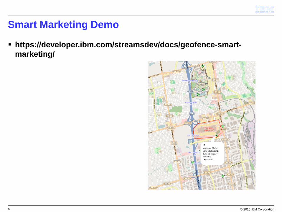
Smart Marketing Demo
https://developer.ibm.com/streamsdev/docs/geofence-smart-
marketing/

7 © 2015 IBM Corporation
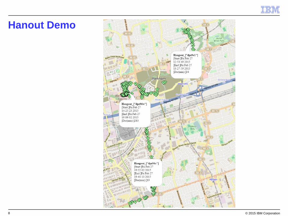
Demo - Hangout
An operator to detect entities hanging out / dwelling in a region.
An entity is said to be in a hangout if:– The entity is staying in the same geographic area
– For a period of minimum dwell time
8 © 2015 IBM Corporation
Hanout Demo

9 © 2015 IBM Corporation
SpatialGridIndex
Define a bounding box of interest. The bounding box is divided into
columns and rows to optimize for speed and memory.
Port 0 – Entity Stream– Entities contained by the bounding box are stored in memory and tracked.
Port 1 - Query Stream– Allows you to send in query to find entities within a certain distance of the
query.
– Query geometry can be a point or a polygon
Output– Returns a list of entities within the specified distance from the query.

10 © 2015 IBM Corporation
SpatialGridIndex Green – Taxis (Entity)
Red – Person looking for taxi (Query)
Yellow – Taxis within 1 km of the query point

11 © 2015 IBM Corporation
SpatialRouter
The SpatialRouter operator is used to split an input stream that
contains geographical data into two or more output streams, based
on the geographic location specified by each tuple.
Allow us to easily parallelize and scale up processing of
geographical data.
Port 0 – input data split
N number of output ports
Guaranteed that entities with the same geohash will go to the same
port.
12 © 2015 IBM Corporation
Questions?