geog3025 geographical referencing and the modifiable areal unit problem
TRANSCRIPT
GEOG3025
Geographical referencing and the modifiable areal unit
problem
GEOG3025
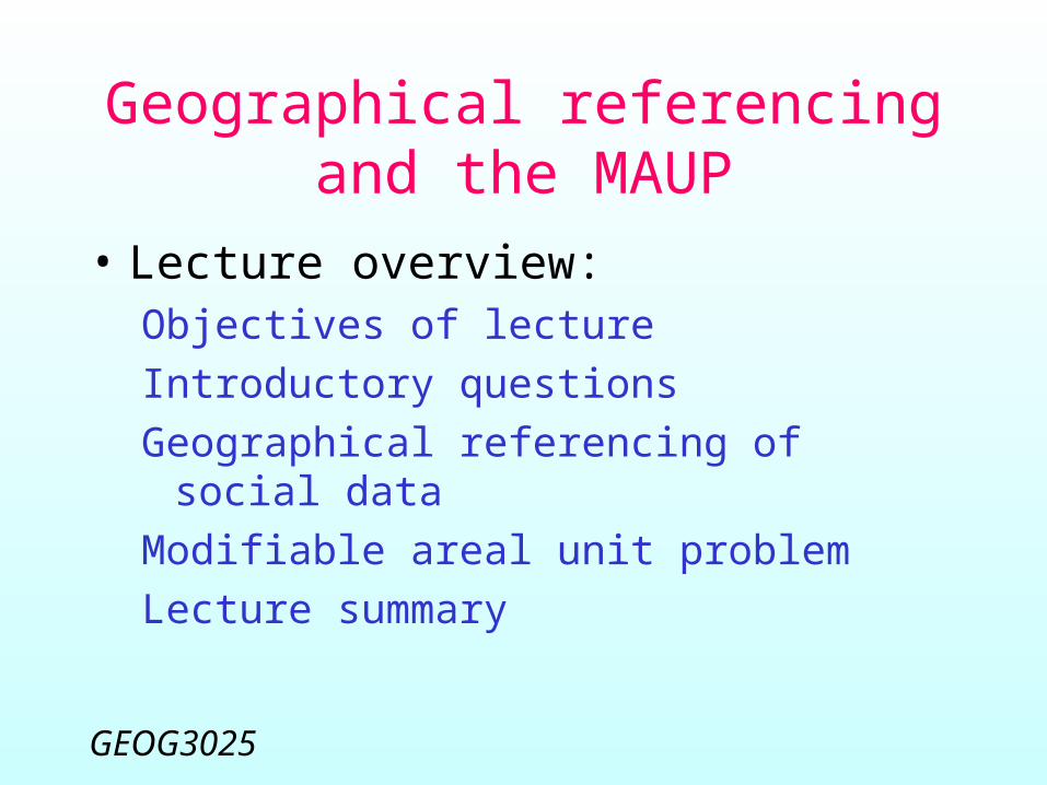
Geographical referencing and the MAUP
• Lecture overview:Objectives of lecture
Introductory questions
Geographical referencing of social data
Modifiable areal unit problem
Lecture summary

GEOG3025
Objectives• To understand that there are
multiple options for the geographical referencing of social data
• To be familiar with the principal datasets and approaches
• To understand the representational difficulties associated with areal aggregation
GEOG3025
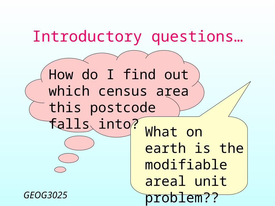
Introductory questions…
How do I find out which census area this postcode falls into? What on earth
is the modifiable areal unit problem??
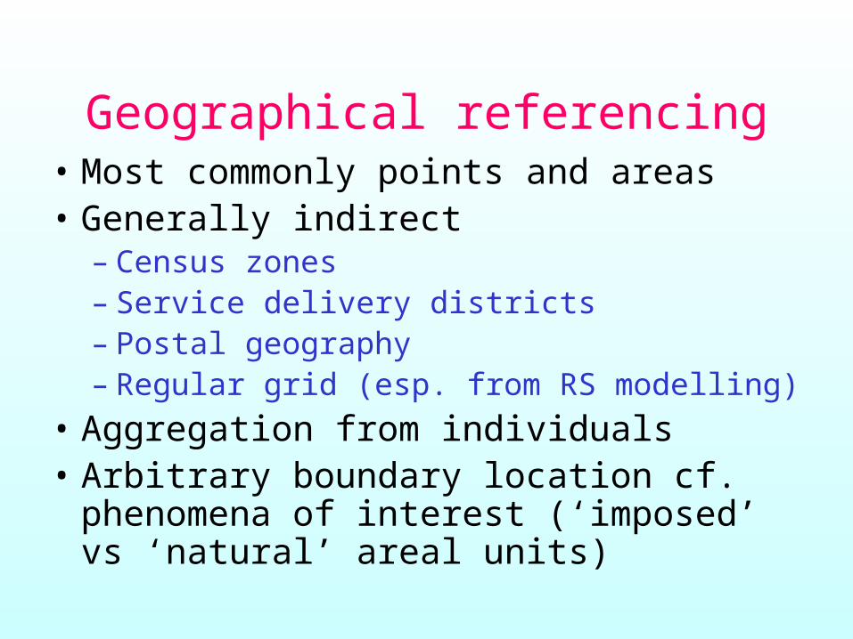
Geographical referencing• Most commonly points and areas• Generally indirect
– Census zones– Service delivery districts– Postal geography– Regular grid (esp. from RS modelling)
• Aggregation from individuals• Arbitrary boundary location cf.
phenomena of interest (‘imposed’ vs ‘natural’ areal units)

GEOG3025
Point data
• Precise location hard to determine• Usually indirect via home address
elements (night-time/day-time)• Point pattern valuable, but mostly
reflects population distribution• Many analysis concepts require
aggregation (rates, denominators etc.)
GEOG3025
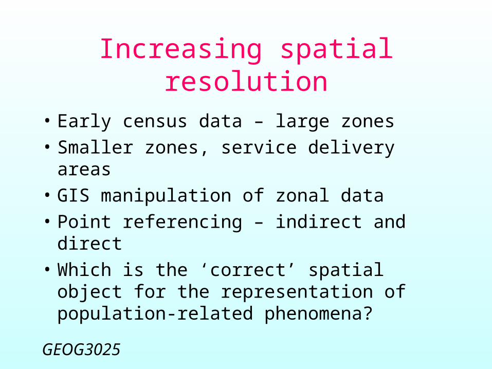
Increasing spatial resolution
• Early census data – large zones• Smaller zones, service delivery areas• GIS manipulation of zonal data• Point referencing – indirect and direct• Which is the ‘correct’ spatial object for
the representation of population-related phenomena?

GEOG3025
Representational issues
• Spatial representation is a process, not a single technical decision– Decisions ‘frozen’ in conventional cartography– Digital datasets make possible remodelling of
the data, and linkage between datasets
• Possible to think of the same entities as different types of spatial object

As surface
Disease incidence
As points As lines As areas
What kind of spatial object?

Representation as a process
GEOG3025
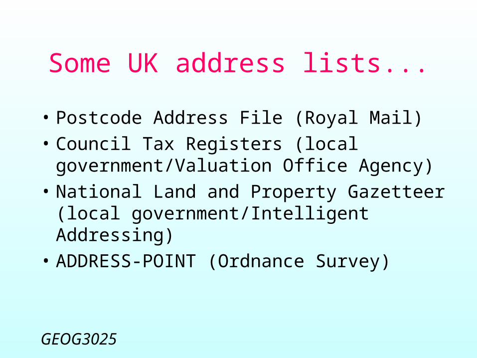
Some UK address lists...
• Postcode Address File (Royal Mail)• Council Tax Registers (local
government/Valuation Office Agency)
• National Land and Property Gazetteer (local government/Intelligent Addressing)
• ADDRESS-POINT (Ordnance Survey)

GEOG3025
Points: address referencing
• ~25m postal addresses• Increasing use of address-level
referencing but difficulties achieving national standards (BS7666, Acacia)
• 2001 census difficulties in Manchester and Westminster– 14000 ‘missed’ addresses added to
Manchester 2003 mid-year estimate
GEOG3025
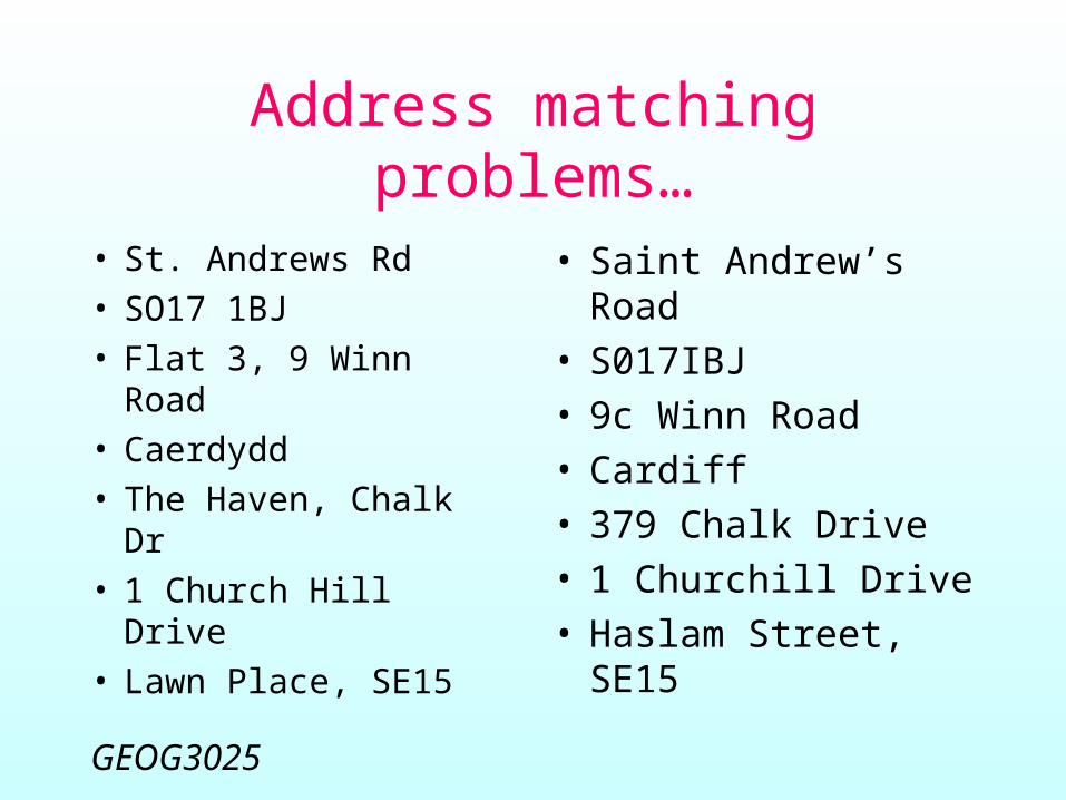
Address matching problems…
• St. Andrews Rd• SO17 1BJ• Flat 3, 9 Winn
Road• Caerdydd• The Haven, Chalk
Dr• 1 Church Hill Drive• Lawn Place, SE15
• Saint Andrew’s Road
• S017IBJ• 9c Winn Road• Cardiff• 379 Chalk Drive• 1 Churchill Drive• Haslam Street,
SE15
GEOG3025
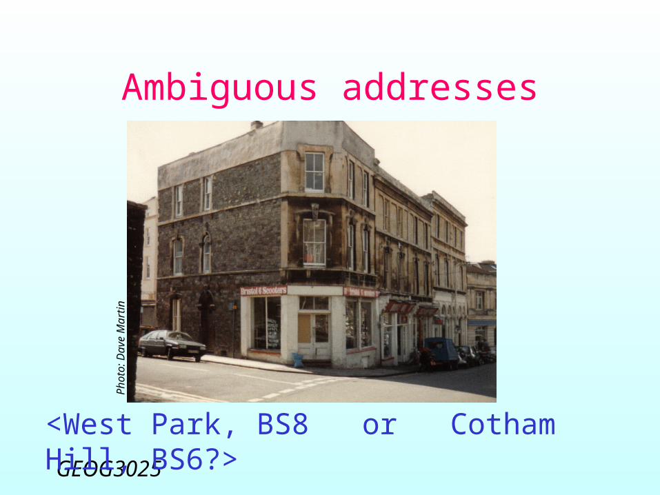
Ambiguous addressesPhoto
: D
ave M
art
in
<West Park, BS8 or Cotham Hill, BS6?>
GEOG3025
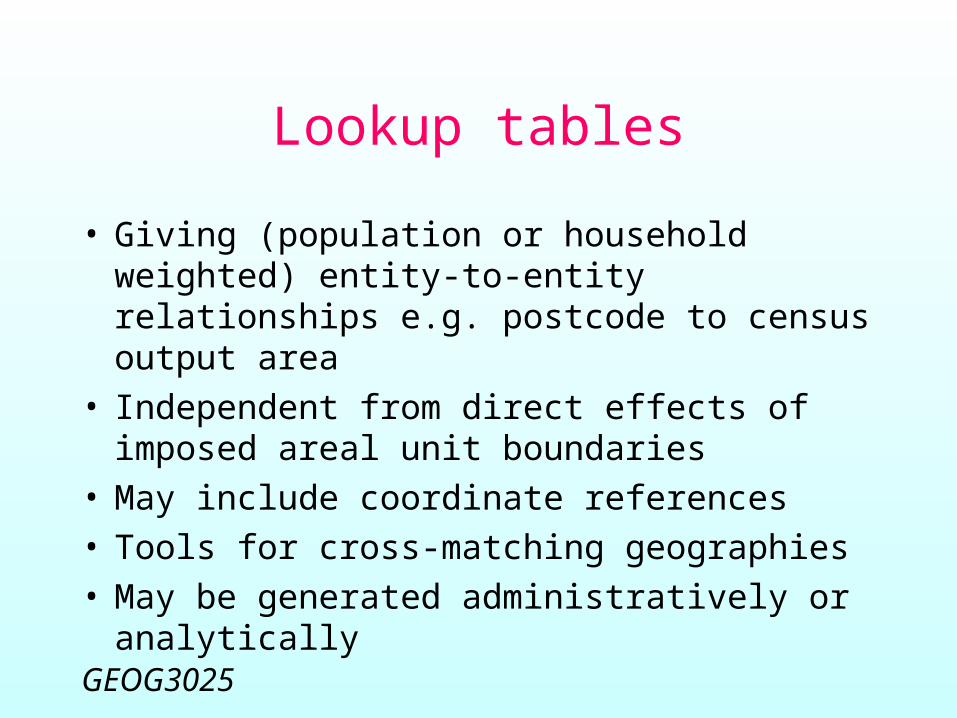
Lookup tables
• Giving (population or household weighted) entity-to-entity relationships e.g. postcode to census output area
• Independent from direct effects of imposed areal unit boundaries
• May include coordinate references• Tools for cross-matching geographies• May be generated administratively or
analytically

GEOG3025
UK Lookup tables tool

County District Ward Output Area


GEOG3025
Lookup tables…
• No sliver polygon or spatial mis-matching issues
• May be the only alternative for modelling change over time for detailed geographies
• Source of ancillary variable for areal interpolation (e.g. redistribute unemployment pro rata population counts)
GEOG3025
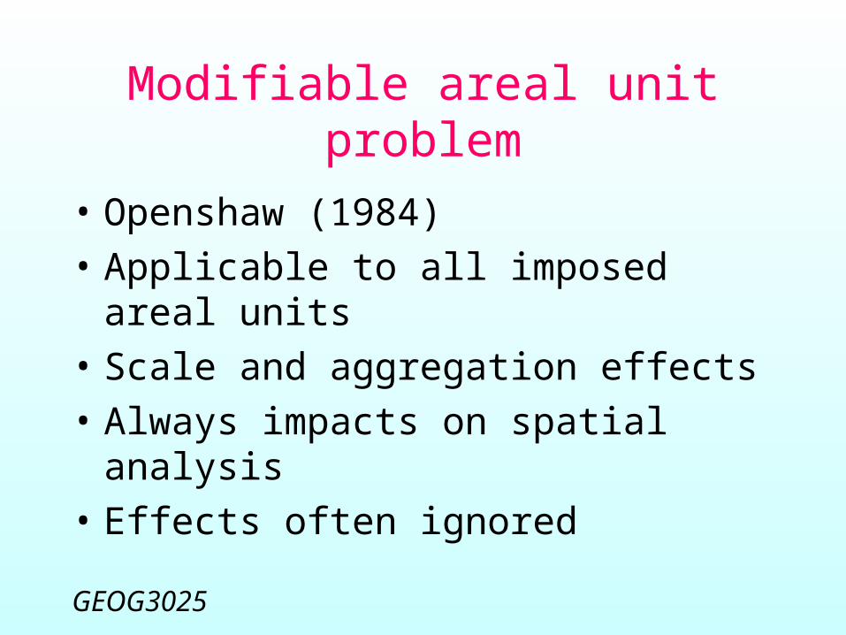
Modifiable areal unit problem
• Openshaw (1984)• Applicable to all imposed areal
units• Scale and aggregation effects• Always impacts on spatial analysis• Effects often ignored
GEOG3025
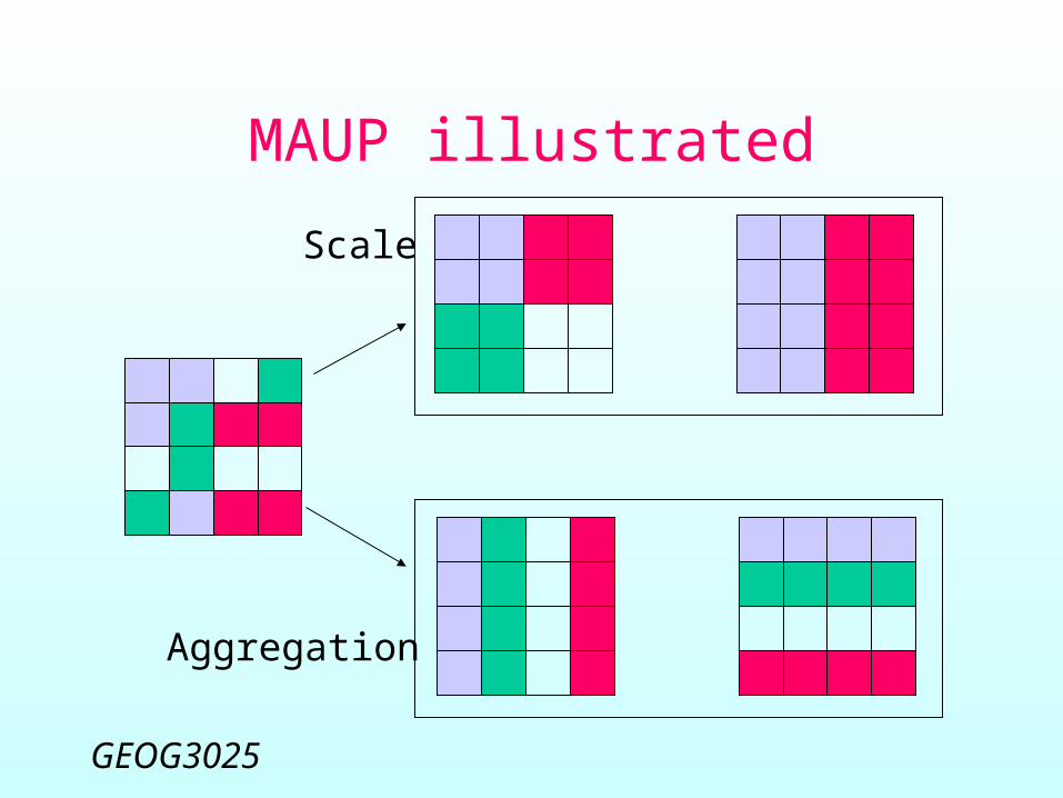
Aggregation
Scale
MAUP illustrated
GEOG3025
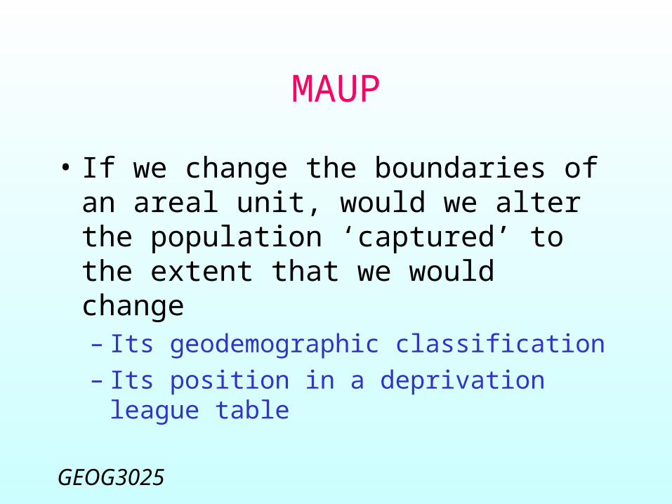
MAUP
• If we change the boundaries of an areal unit, would we alter the population ‘captured’ to the extent that we would change– Its geodemographic classification– Its position in a deprivation league table
GEOG3025
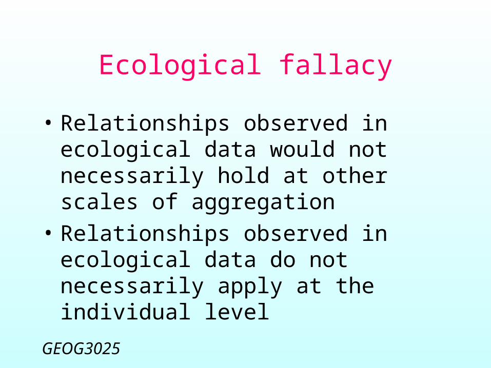
Ecological fallacy
• Relationships observed in ecological data would not necessarily hold at other scales of aggregation
• Relationships observed in ecological data do not necessarily apply at the individual level
GEOG3025
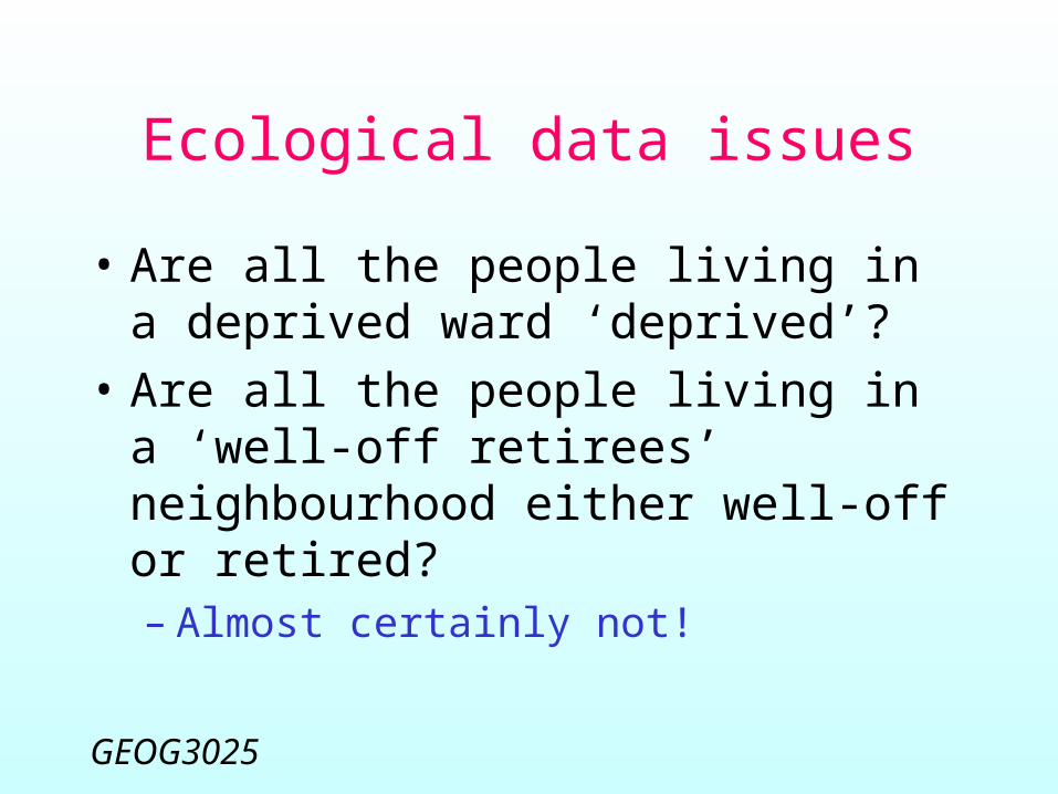
Ecological data issues
• Are all the people living in a deprived ward ‘deprived’?
• Are all the people living in a ‘well-off retirees’ neighbourhood either well-off or retired?– Almost certainly not!

GEOG3025
Lecture summary
• Ambiguity of geographical referencing• Different spatial data types• Multiple address referencing options• Lookup tables, particularly based on
postcode geographies• Modifiable areal unit and ecological
fallacy issues