euref related activities in the czech republic 2012 - 2013€¦ · euref related activities in the...
TRANSCRIPT

Research Institute of Geodesy, Topography, and
Cartography – Geodetic Observatory Pecny
Land Survey Office, Prague
EUREF Related Activities
in the Czech Republic 2012 - 2013
National Report
J. Šimek1, J. Douša1, V. Filler1, J. Kostelecký jr.1, J. Kostelecký1,
V. Pálinkáš1, P. Václavovic1
M. Lederer2, J. Nágl2, J. Řezníček2
1 Research Institute of Geodesy, Topography and Cartography2 Land Survey Office, Prague
Symposium of the IAG Subcommission for
Europe – EUREF 2013
Budapest, Hungary, 29 – 31 May 2013

National reference system: S-JTSK/05
• Conversion between ETRS89 – based user
system S-JTSK/05 and mandatory S-JTSK by
means of correction tables computed for 2 x 2
km grid; amended tables for border zones in
2012 → rms difference 2 cm
•New conversion tables table_yx_3_v1202.dat
implemented into the transformation service of
the Geoportal CUZK
•Conversion of heights by the CR 2005
quasigeoid model (1´x 1.5´grid fitted to 1,024
GPS/levelling heights)

Geodetic control networks
• Czech Republic – 78,864 km2
• 73,281 triangulation points
• 34,245 associated points
• 1313 levelling lines – 24,700 km
• 119,527 levelling benchmarks
• 460 gravity control stations

Database of control point fields
• Improvements of application software
• Updating with respect to periodic and
dynamic maintenance
• Data flow between Information System of
Surveying, Mapping and Cadastre and the
DB and between DB and Information System
of State Map work and Fundamental
geographical Database

Maintenance of horizontal geodetic
control point field

Permanent GNSS Stations and Networks
in the Czech Republic
• Fundamental Geodetic Observatory Pecný – GOPE, http://www.pecny.cz (IGS, EPN, CZEPOS, VESOG, E-GVAP II)
• CZEPOS: http://czepos.cuzk.cz, Czech Positioning System, 28 PS, operated by the Land Survey Office + 27 PS of neighbour countries
• GEONAS: http://geonas.irsm.asc.cz, 19 PS, experimental monitoring network operated by the Institute of Rock Structure and Mechanics, Acad. Sci. CR
• VESOG: http://pecny.asu.cas.cz/vesog/, research and experimental GNSS network operated by the RIGTC GOP and academic institutions, 8 PS
• TopNet: http://www.geodis.cz, 23 PS, includes also 11 GEONAS and 3 VESOG PS, operated by the private company GEODIS Brno
• Trimble VRS NOW Czech: http://www.geotronics.vrsnow, 24 sites + 8 sites of Trimble VRS NOW Deutschland, operated by Geotronics Praha, s.r.o. private company
• several smaller networks, operated by private companies, e.g. byS@T and others
• Total: 98 permanent stations, 12 of them EPN

Permanent GNSS stations and networks
in the Czech Republic

Fundamental Geodetic Observatory
Pecný (GOPE) – RIGTC at Ondřejov

GOPE – Fundamental GNSS Station• Established in 1993, since 1995 has been contributing to IGS (International
GNSS Service)
• Topcon Net-G3 receiver, Topcon CR-G3 antenna with a spherical radom
TPSH, individual PC calibration
• Tracking the following GNSS: GPS NAVSTAR (L1C, L1P, L2P, L2C),
GLONASS (L1C, L2P)
• Post-processing data + real-time data
• Post-processing data downloaded in RINEX 2.10 format in daily files with 30
sec sampling rate, hourly files/ 1 and 30 sec, 15-min files/ 1 sec
• Data are forwarded to the following data centers:
- GOP - RIGTC, Czech Republic (hourly and daily 30 sec data)
- BKG, Frankfurt am Main, Germany (hourly and daily 30 sec data)
- OLG, Graz, Austria (hourly and daily 30 sec data)
- CZEPOS, Land Survey Office, Czech Republic (hourly 1 sec data)
- CDDIS, NASA, U.S.A. (15-minute 1 sec data)
• Real-time RTCM 2.3 and RTCM 3 data streams forwarded in NTRIP
protocol to VESOG caster and further to BKG and CZEPOS casters

Permanent GNSS station
GOPE
Topcon CR-G3 antenna with TPSH radom Topcon Net-G3 receiver

GOPE Participation in the M-GEX
IGS project• station GOP6 – excentric site of the main GOPE station in the Multi-GNSS
Experiment
• Leica GRX1200+GNSS receiver + Leica AR25.R4 antenna with a spherical radom LEIT and individual PC calibrations
• Satellite tracking: GPS NAVSTAR (L1C, L1P, L2P, L2C, L5), GLONASS (L1C, L2P), Galileo (E1, E5a, E5b, AltBoc), SBAS (L1)
• Post-processing data in RINEX 2.10 (directly generated by the receiver) and RINEX 3.01 (conversion from 2.11 using own software in the operation centre):
- hourly and daily files/ 30 sec data
- 15 min files of 1 sec data
• Post-processing data forwarded to:
- CDDIS, NASA, USA (only RINEX 3.01)
- BKG, Frankfurt am Main, Germany (only RINEX 3.01)
- IGN, Paris, France(RINEX 2.10 and 3.01)
- GOP, RIGTC, Czech Republic (only RINEX 2.10)
• Real-time data streams
- binary data Leica LB2
- RTCM 2.3 a RTCM 3
- NTRIP protocol forwarded to NTRIPcaster VESOG/GOP, RIGTC, Czech Republic, binary data LB2 forwarded to the M-GEX caster of the BKG, Frankfurt/Main, Germany

GOP6 M-GEX Site - antenna
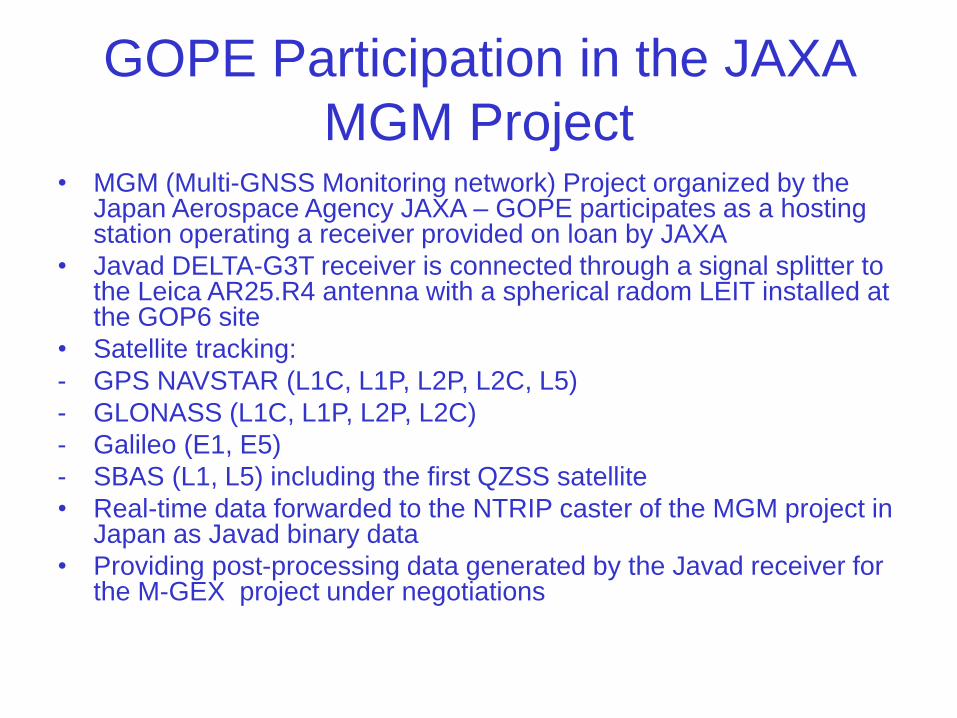
GOPE Participation in the JAXA
MGM Project• MGM (Multi-GNSS Monitoring network) Project organized by the
Japan Aerospace Agency JAXA – GOPE participates as a hosting station operating a receiver provided on loan by JAXA
• Javad DELTA-G3T receiver is connected through a signal splitter to the Leica AR25.R4 antenna with a spherical radom LEIT installed at the GOP6 site
• Satellite tracking:
- GPS NAVSTAR (L1C, L1P, L2P, L2C, L5)
- GLONASS (L1C, L1P, L2P, L2C)
- Galileo (E1, E5)
- SBAS (L1, L5) including the first QZSS satellite
• Real-time data forwarded to the NTRIP caster of the MGM project in Japan as Javad binary data
• Providing post-processing data generated by the Javad receiver for the M-GEX project under negotiations

GOPE - receivers
Leica GRX1200+GNSS receiver at GOP6 Javad DELTA-G3T receiver at GOP7/GOP6M

CZEPOS – operated by
Land Survey Office since 2004/2005

CZEPOS Services
• Real-time services:RTK, RTK-FKP, RTK-PRS, RTK3, VRS3 = 80 Kč (3,26 €) / 1 hour, DGPS = 20 Kč (0,82 €) / 1 hour
• Post-processing: data interval 1 – 4 sec = 80 Kč (3.26 €), 5 – 9 sec = 16 Kč (0.65 €), 10 – 19 sec = 8 Kč (0.33 €), ≥ 20 sec = 4 Kč (0.16 €)
DGPS
RTK
VRS
• DGPS
• RTK
• RTK3-NS
• RTK3-GG
• RTK-PRS
• RTK-FKP
• VRS3-MAX, VRS3-iMAX
• VRS3-MAX-GG, VRS3-iMAX-GG

CZEPOS – availability of services

CZEPOS – number of users

Analysis and Research
• EPN Data Center GOP
• EPN Analysis Center GOP
• IGS rapid orbits
• Monitoring of permanent GNSS sites
• GNSS-based international projects
• Geodynamics – EPN velocities, CEGRN
• IDS Analysis Center GOP

20
GNSS data operation/dissemination
GOP operational centre
• GPS, GLONASS, Galileo, QZSS
• hourly, daily, real-time
• 30-sec, high-rate (1Hz)
• EUREF, IGS, VESOG, CZEPOS, …
GOP Data Centre (EUREF, ..)
• Files – GNSS data (daily, hourly and historical), various supporting products and information
• Real-time streams – NTRIP caster data/product
file latency monitoring
real-time data content monitoring

GPS+GLONASS precise orbit determination
software: Bernese GPS sw. V5.2
input: hourly GPS data + navigation messages
output: ultra-rapid orbits (GPS+GLONASS)
product: 2-day arcs fitting, 1-day arc prediction
usage: (near) real-time applications
processing features:
• LSQ adjustment
• 6-hour update cycle
• double-differenced observations
• efficient strategy with no redundancy
• network split into continental clusters
• self-initializing processing system
• all satellites included, multi-GNSS
• automated manoeuvres detection
• originally developed at GOP
GOP contribution to the International GNSS Service (IGS) – since 2004

orbits clocks Y,X pole X,Y pole rates length of the day
fitted prod.
predicted prod.
<5 cm
10 cm-
0.1 mas
0.3 mas
0.2 mas/day
0.3 mas/day
0.03 ns
0.07 ns
GOP orbits/ERP products (milestones)
1st official GOPGPS contribution(2004)
new systemintroduced(2006)
orbit model improved(2007)
contributiondiscontinued(2006)
improved accuracy code (2009)
GPS+GLONASS solution (2010)
GOP contribution to the International GNSS Service (IGS) – since 2004

23
GOP sub-network re-processing (1996-2012)• Consistent up-
to-date models applied
• A long-term homogeneous solution
• Coordinate time-series for geodynamics and reference frame
• Troposphere parameters time-series for climate studies

G-Nut software development
• Program package for various end-user applications –
kinematic position, monitoring long-term coordinate
time series, ZTD estimation, satellite clocks etc.
• C++ language, object oriented concept
• RT and post-processing modes
• Integration of all available GNSS, new signals
• Applications developed in 2013: Anubis, Geb, Tefnut
• Anubis: checking, editing, converting and
concatenating GNSS observation and navigation files
• Geb and Tefnut: PPP-based processing of
undifferenced phase and code observations (offline
and RT modes at GOP AC)

GOP participation in international
projects
• GPS-ground based meteorology – E-GVAP II,
GNSS4SWEC – COST ES1206
• EPOS - WG4, VESOG network
• EUPOS – contribution to ECC
• CEGRN Consortium – MoU between CEGRN
and EUREF
• ESA

GOP in COST ES 1206
GNSS4SWEC
• NRT/RT processing (ultra-fast/real-time, multi GNSS,
troposphere gradients, slant delays)
• Use of NWPM in support of RT GNSS analyses
• GNSS re-processing for homogeneous troposphere
time-series
• Development of GOP database for evaluation of
troposphere parameters from different techniques
• WG1 – Advanced GNSS processing techniques (J.
Douša)

Monitoring of the Czech permanent
GNSS sites – Analysis Center GOP
• Check of stability and quality
• Rapid solution used as a basis
• EPN processing standards and guidelines
• 8:00 UTC the daily solution compared with
coordinates + statistical test
• Limits: 7mm, 7 mm and 15 mm for N,E,U
components

ECGN, gravity, geodynamics• Very precise levelling lines in the geodynamic
network (long-term rms/1 km error 0.56 mm)
• New gravity reference system – preliminary results
• Gravity measurements at calibration baselines in the CR and Austria (Hochkar)
• superconducting (OSG-050) and absolute gravimetry (FG5 No. 215) at GOP, environmental effects on gravity, contribution to GGP
• Regional ICAG at Wettzell, January 2013
• Absolute gravity measurements: Slovakia (3 sites), Hungary (3)
• Repeated absolute gravity measurements at GNSS permanent stations GOPE (12), POL1 (2), KUNZ (2) and ZDIB (3)

Levelling in Fundamental Geodynamical
Network in 2012 – Land Survey Office

Differences between current and
new national gravity system

Absolute gravity measurements with FG5
No 215 in Czechia, Slovakia and Hungary

Tidal Gravimetry at GO Pecný
and Environmental Effects
• gravity time series by GWR OSG-050, Askania Gs15 No. 228 and by LCR 137
• calibration by FG5 No. 215 absolute gravimeter
• very broadband 3-D seismometer
• climatological station
• meteorological parameters
• soil moisture
• ground water level

Thank you for your attention !
for more detailed information please visit
http://czepos.cuzk.cz
http://www.cuzk.cz
http://pecny.asu.cas.cz