erosive potential of rains in the climate change … · the typical climatic conditions of cerrado...
TRANSCRIPT
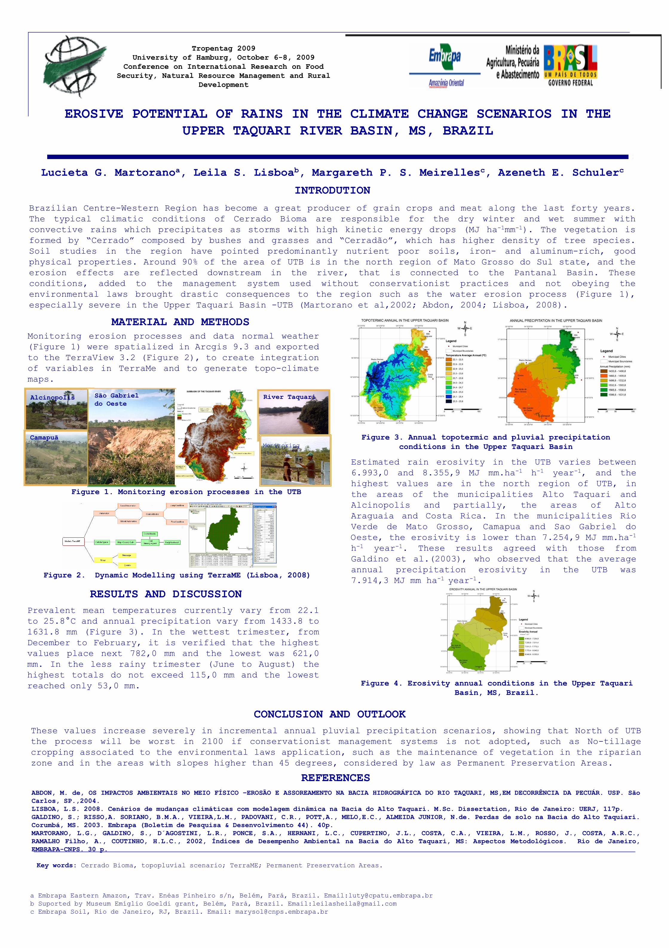
Tropentag 2009University of Hamburg, October 6-8, 2009
EROSIVE POTENTIAL OF RAINS IN THE CLIMATE CHANGE SCENARIOS IN THE
University of Hamburg, October 6-8, 2009Conference on International Research on Food
Security, Natural Resource Management and Rural Development
EROSIVE POTENTIAL OF RAINS IN THE CLIMATE CHANGE SCENARIOS IN THE UPPER TAQUARI RIVER BASIN, MS, BRAZIL
Lucieta G. Martoranoa, Leila S. Lisboab, Margareth P. S. Meirellesc, Azeneth E. Schulerc
INTRODUTION
Brazilian Centre-Western Region has become a great producer of grain crops and meat along the last forty years.
The typical climatic conditions of Cerrado Bioma are responsible for the dry winter and wet summer with
Lucieta G. Martoranoa, Leila S. Lisboab, Margareth P. S. Meirellesc, Azeneth E. Schulerc
The typical climatic conditions of Cerrado Bioma are responsible for the dry winter and wet summer with
convective rains which precipitates as storms with high kinetic energy drops (MJ ha-1mm-1). The vegetation is
formed by “Cerrado” composed by bushes and grasses and “Cerradão”, which has higher density of tree species.
Soil studies in the region have pointed predominantly nutrient poor soils, iron- and aluminum-rich, good
physical properties. Around 90% of the area of UTB is in the north region of Mato Grosso do Sul state, and the
erosion effects are reflected downstream in the river, that is connected to the Pantanal Basin. These
conditions, added to the management system used without conservationist practices and not obeying the
environmental laws brought drastic consequences to the region such as the water erosion process (Figure 1),
especially severe in the Upper Taquari Basin -UTB (Martorano et al,2002; Abdon, 2004; Lisboa, 2008).
MATERIAL AND METHODSMonitoring erosion processes and data normal weatherMonitoring erosion processes and data normal weather
(Figure 1) were spatialized in Arcgis 9.3 and exported
to the TerraView 3.2 (Figure 2), to create integration
of variables in TerraMe and to generate topo-climate
maps.
Figure 3. Annual topotermic and pluvial precipitation conditions in the Upper Taquari Basin
Alcinopolis São Gabriel do Oeste
Camapuã
River Taquari
Monitoring
Figure 1. Monitoring erosion processes in the UTB
Estimated rain erosivity in the UTB varies between
6.993,0 and 8.355,9 MJ mm.ha-1 h-1 year-1, and the
highest values are in the north region of UTB, in
the areas of the municipalities Alto Taquari and
Alcinopolis and partially, the areas of Alto
conditions in the Upper Taquari BasinMonitoring
station
Alcinopolis and partially, the areas of Alto
Araguaia and Costa Rica. In the municipalities Rio
Verde de Mato Grosso, Camapua and Sao Gabriel do
Oeste, the erosivity is lower than 7.254,9 MJ mm.ha-1
h-1 year-1. These results agreed with those from
Galdino et al.(2003), who observed that the average
RESULTS AND DISCUSSION
Galdino et al.(2003), who observed that the average
annual precipitation erosivity in the UTB was
7.914,3 MJ mm ha-1 year-1.
Prevalent mean temperatures currently vary from 22.1
Figure 2. Dynamic Modelling using TerraME (Lisboa, 2008)
Prevalent mean temperatures currently vary from 22.1
to 25.8°C and annual precipitation vary from 1433.8 to
1631.8 mm (Figure 3). In the wettest trimester, from
December to February, it is verified that the highest
values place next 782,0 mm and the lowest was 621,0
mm. In the less rainy trimester (June to August) the
CONCLUSION AND OUTLOOK
mm. In the less rainy trimester (June to August) the
highest totals do not exceed 115,0 mm and the lowest
reached only 53,0 mm. Figure 4. Erosivity annual conditions in the Upper Taquari Basin, MS, Brazil.
REFERENCES
These values increase severely in incremental annual pluvial precipitation scenarios, showing that North of UTB
the process will be worst in 2100 if conservationist management systems is not adopted, such as No-tillage
cropping associated to the environmental laws application, such as the maintenance of vegetation in the riparian
zone and in the areas with slopes higher than 45 degrees, considered by law as Permanent Preservation Areas.
REFERENCESABDON, M. de, OS IMPACTOS AMBIENTAIS NO MEIO FÍSICO –EROSÃO E ASSOREAMENTO NA BACIA HIDROGRÁFICA DO RIO TAQUARI, MS,EM DECORRÊNCIA DA PECUÁR. USP. SãoCarlos, SP.,2004.LISBOA, L.S. 2008. Cenários de mudanças climáticas com modelagem dinâmica na Bacia do Alto Taquari. M.Sc. Dissertation, Rio de Janeiro: UERJ, 117p.GALDINO, S.; RISSO,A. SORIANO, B.M.A., VIEIRA,L.M., PADOVANI, C.R., POTT,A., MELO,E.C., ALMEIDA JUNIOR, N.de. Perdas de solo na Bacia do Alto Taquiari.Corumbá, MS. 2003. Embrapa (Boletim de Pesquisa & Desenvolvimento 44). 40p.MARTORANO, L.G., GALDINO, S., D´AGOSTINI, L.R., PONCE, S.A., HERNANI, L.C., CUPERTINO, J.L., COSTA, C.A., VIEIRA, L.M., ROSSO, J., COSTA, A.R.C.,MARTORANO, L.G., GALDINO, S., D´AGOSTINI, L.R., PONCE, S.A., HERNANI, L.C., CUPERTINO, J.L., COSTA, C.A., VIEIRA, L.M., ROSSO, J., COSTA, A.R.C.,RAMALHO Filho, A., COUTINHO, H.L.C., 2002, Índices de Desempenho Ambiental na Bacia do Alto Taquari, MS: Aspectos Metodológicos. Rio de Janeiro,EMBRAPA-CNPS. 30 p.
Key words: Cerrado Bioma, topopluvial scenario; TerraME; Permanent Preservation Areas.
a Embrapa Eastern Amazon, Trav. Enéas Pinheiro s/n, Belém, Pará, Brazil. Email:[email protected]
b Suported by Museum Emíglio Goeldi grant, Belém, Pará, Brazil. Email:[email protected]
c Embrapa Soil, Rio de Janeiro, RJ, Brazil. Email: [email protected]