emerging trends that will impact geospatial information...
TRANSCRIPT
1
Emerging Trends That Will Impact Geospatial Information Management
Objectives of This Module
• Understand Emerging Trends That Will Impact Geospatial Information Management
• Understand How Laws and Policies Developed In Response to Emerging Technologies Could Impact Geospatial Information Management.
2
2
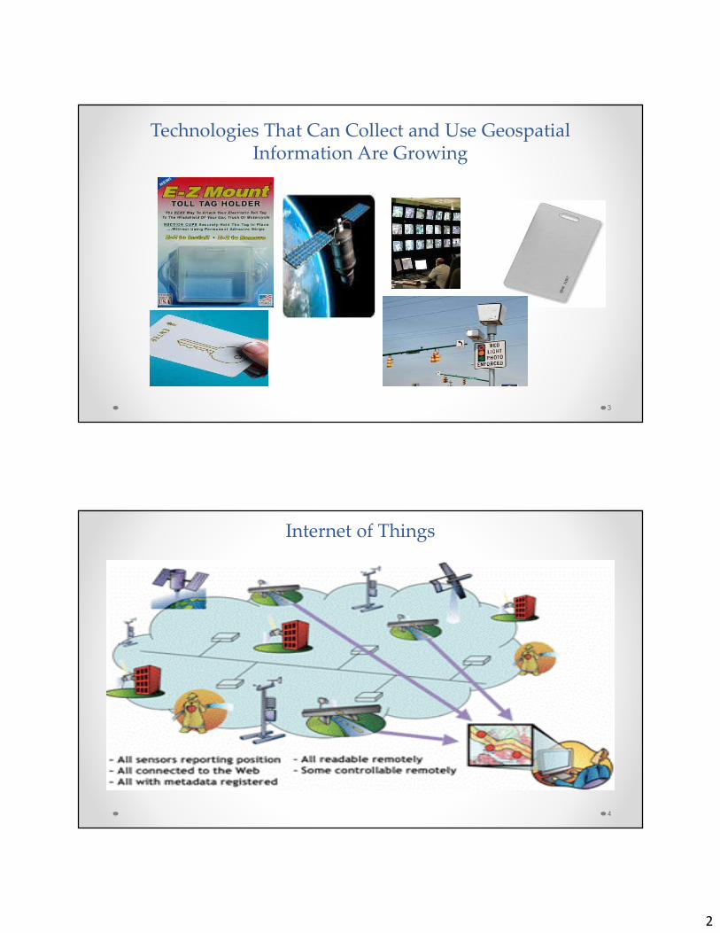
Technologies That Can Collect and Use Geospatial Information Are Growing
3
Internet of Things
4
3
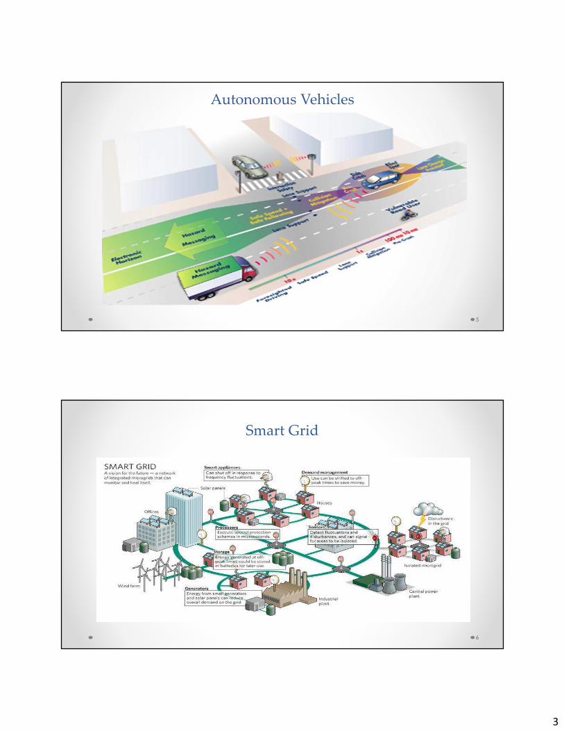
Autonomous Vehicles
5
Smart Grid
6
4
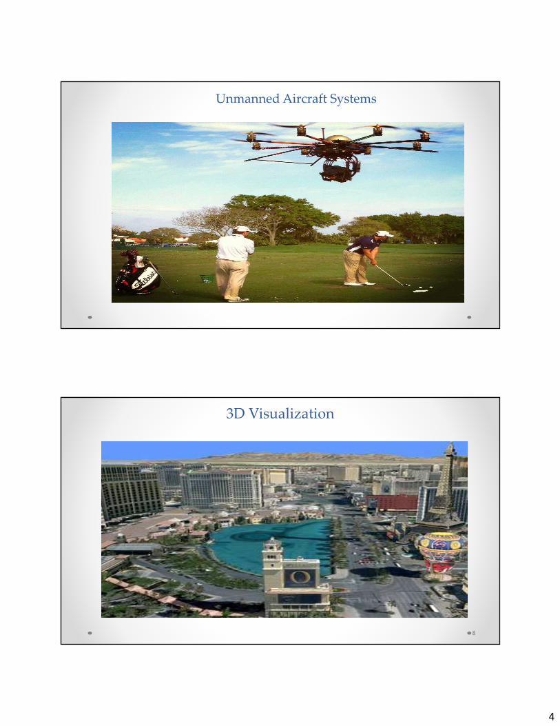
Unmanned Aircraft Systems
3D Visualization
8
5
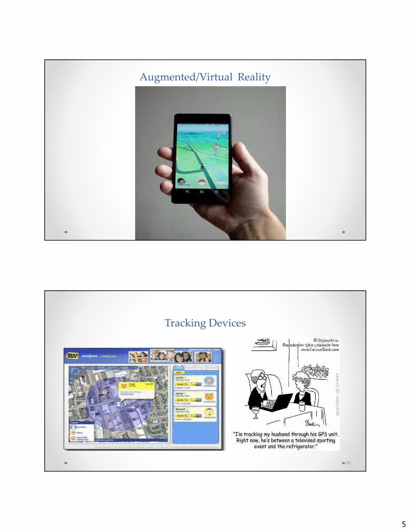
Augmented/Virtual Reality
Tracking Devices
10
6
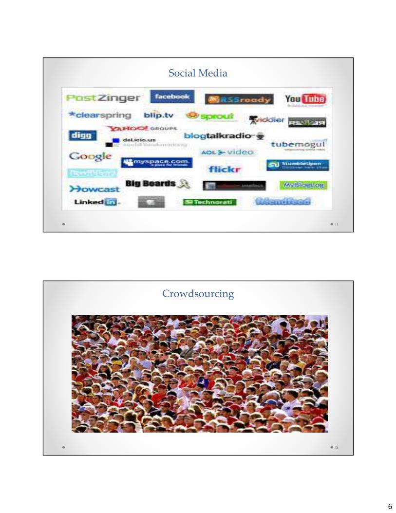
Social Media
11
Crowdsourcing
12
7
Impact of New Technologies
• Increased concerns over location privacy
• New stakeholders
• New regulatory actors
• Open Data
14
Growth has Resulted in a Number of Media Reports On Geolocation Privacy
�Smart phone apps
�Drones
�Geotagging of on-line photos
�Law Enforcement’s Use of Location Data
�Smart Grid
�Tracking Devices
�Autonomous Vehicles

8
PERCEPTIONS OF PRIVACY IN PUBLIC ARE CHANGING…
St. Peter’s Square - 2005
Luca Bruno/AP
…CREATING A LOCATION PRIVACY PARADOX
St. Peter’s Square - 2013
Michael Sohn/AP
9
White House “Big Data” Report
• White House released two “Big Data” reports in May 2014.
• President's Council of Advisors on Science and Technology (PCAST) report:
o Describes various types of geospatial technologies that collect born-analog data that contain “personal information”
o Many of these relate to data collected from small sats, including:
• video from . . . overhead drones
• imaging infrared video
• synthetic aperture radar (SAR)
• LiDAR,
• “precise geolocation in imagery from satellites and drones”
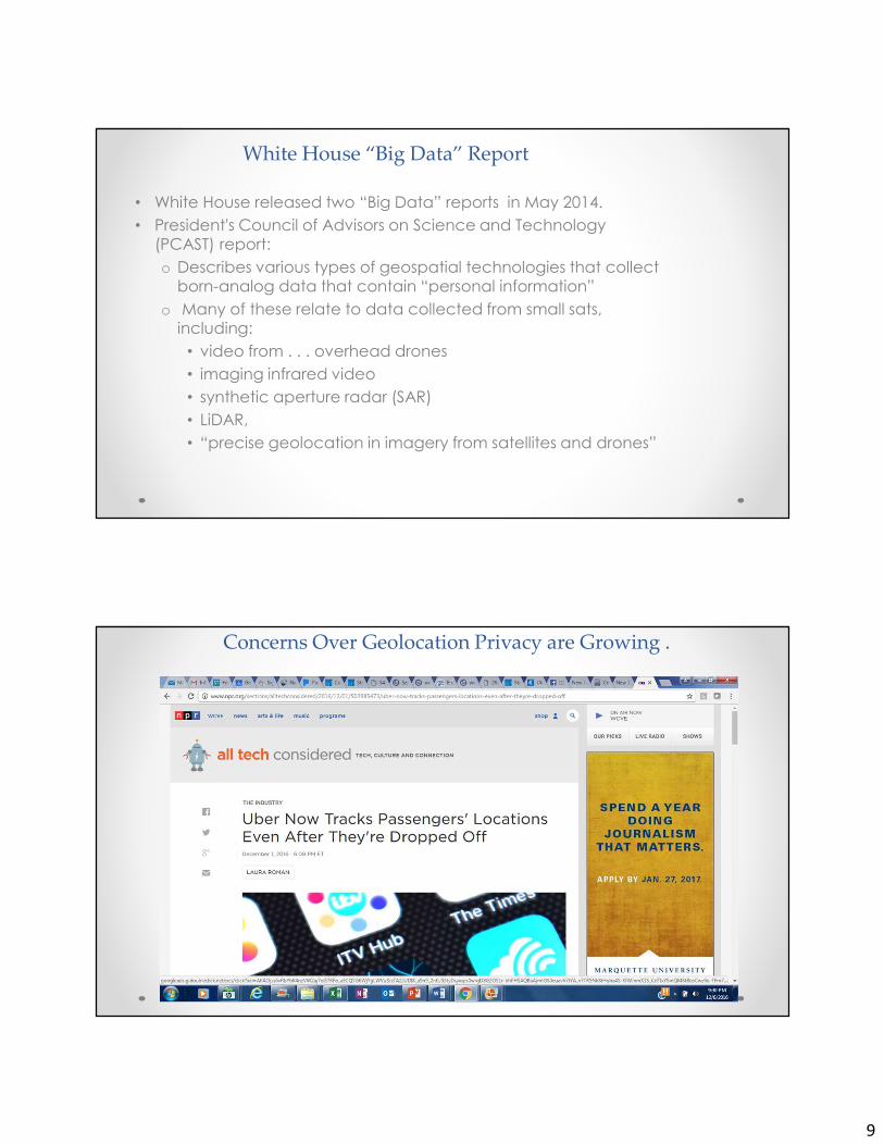
Concerns Over Geolocation Privacy are Growing .
. .
10
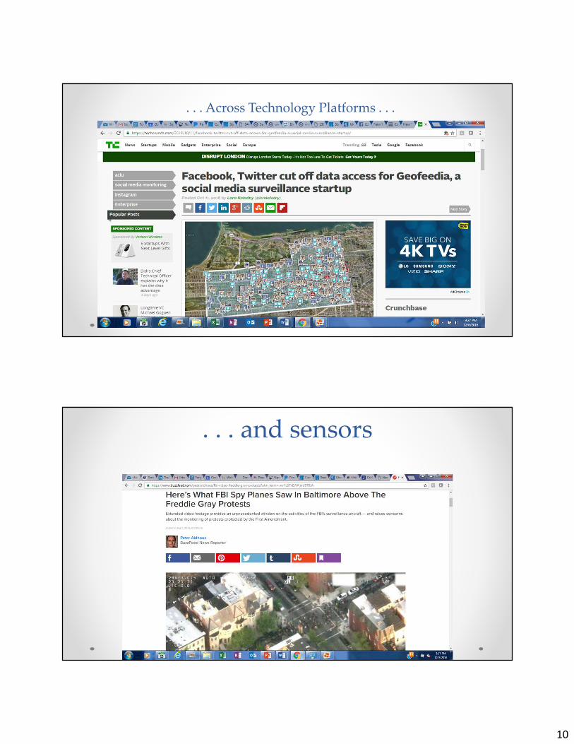
. . . Across Technology Platforms . . .
. . . and sensors
11
New Stakeholders
• Geospatial community will need to “share” geoinformation with
new communities:� Smart Cities
� Smart Grid
� Autonomous Vehicles
� Internet of Things
� Open Data Communities
� Business Intelligence
� Internet of Things
• Each have their own motivations, concerns.
• Subject to their own regulations and legal framework.
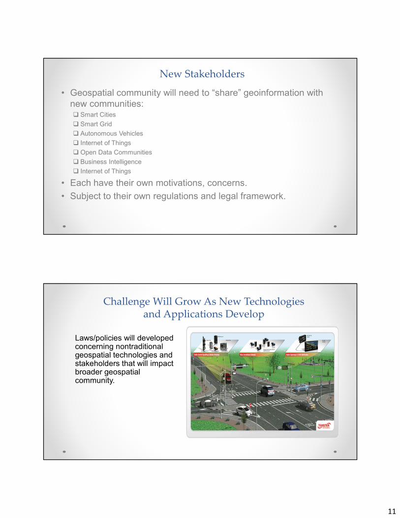
Challenge Will Grow As New Technologies and Applications Develop
Laws/policies will developed concerning nontraditional geospatial technologies and stakeholders that will impact broader geospatial community.
12
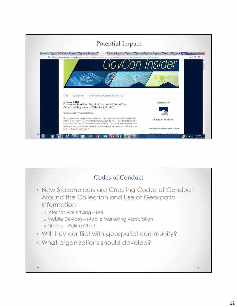
Potential Impact
Codes of Conduct
• New Stakeholders are Creating Codes of Conduct
Around the Collection and Use of Geospatial
Informationo Internet Advertising – IAB
o Mobile Devices – Mobile Marketing Association
o Drones – Police Chief
• Will they conflict with geospatial community?
• What organizations should develop?
24
13
New Regulators
• Consumer Protection
• Telecommunications
• Privacy
• Law Enforcement
• Energy
• Transportation
oGround
oAir
• National Telecommunications and Information Administration convened multi-stakeholder group at direction of White House
• “In the absence of a compelling need to do otherwise, or consent of the data subjects, UAS operators should avoid using UAS for the specific purpose of intentionally collecting covered data where the operator knows the data subject has a reasonable expectation of privacy.” (Section 2a)
Drones: Voluntary Best Practices
26
14
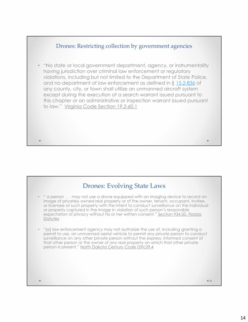
Drones: Restricting collection by government agencies
• “No state or local government department, agency, or instrumentality
having jurisdiction over criminal law enforcement or regulatory
violations, including but not limited to the Department of State Police,
and no department of law enforcement as defined in § 15.2-836 of
any county, city, or town shall utilize an unmanned aircraft system
except during the execution of a search warrant issued pursuant to
this chapter or an administrative or inspection warrant issued pursuant
to law.” Virginia Code Section 19.2-60.1
• “ a person . . . may not use a drone equipped with an imaging device to record an image of privately owned real property or of the owner, tenant, occupant, invitee, or licensee of such property with the intent to conduct surveillance on the individual or property captured in the image in violation of such person’s reasonable expectation of privacy without his or her written consent.” Section 934.50, Florida Statutes
• “[a] law enforcement agency may not authorize the use of, including granting a permit to use, an unmanned aerial vehicle to permit any private person to conduct surveillance on any other private person without the express, informed consent of that other person or the owner of any real property on which that other private person is present.” North Dakota Century Code t29c29.4
Drones: Evolving State Laws
28
15
• Reasonable Expectation of Privacy - “a person is presumed to have
a reasonable expectation of privacy on his or her privately owned
real property if he or she is not observable by persons located at
ground level in a place where they have a legal right to be,
regardless of whether he or she is observable from the air with the use
of a drone.” Section 934.50, Florida Statutes.
• Surveillance - “1. With respect to an owner, tenant, occupant, invitee,
or licensee of privately owned real property, the observation of such
persons with sufficient clarity to be able to obtain information about
their identify, habits, conduct, movements or whereabouts, or 2. With
respect to privately owned real property, the observation of such
property’s physical improvements with sufficient visual clarity to be
able to determine unique identifying features or its occupancy by
one or more persons.” Section 934.50, Florida Statutes.
Drones: States Redefining privacy
29
�Much more difficult to define◦ Compared to other protected information - social
security number, health records, credit information
� Temporal component◦ Present vs. historical?
�Cultural, gender, age, religious, social components
� Location information is collected in many more ways
� Privacy challenges are much more varied.
�We regularly provide our location to others.
30
Challenges: Unique Aspects of Geoinformation
16
Who is in best position to decide?
• Legislatures
• Regulators
• Court cases
• Industry
• Codes of Conduct
31
Open Data
• Now with all different types of data available, increased calls for Open Data.
• Being driven by policy/technology folks, not geospatial community.
• But much of the data is geo-enabled.
• Some unique aspects of geospatial information not being considered.
• Geospatial community has been using Open Data for years
17
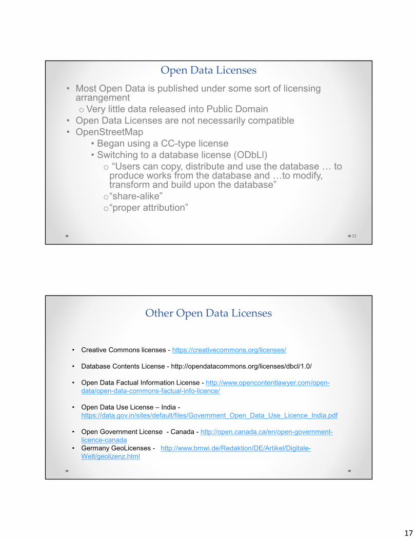
Open Data Licenses
• Most Open Data is published under some sort of licensing arrangement
o Very little data released into Public Domain
• Open Data Licenses are not necessarily compatible
• OpenStreetMap
• Began using a CC-type license
• Switching to a database license (ODbLl)
o “Users can copy, distribute and use the database 7 to produce works from the database and 7to modify, transform and build upon the database”
o“share-alike”
o“proper attribution”
33
Other Open Data Licenses
• Creative Commons licenses - https://creativecommons.org/licenses/
• Database Contents License - http://opendatacommons.org/licenses/dbcl/1.0/
• Open Data Factual Information License - http://www.opencontentlawyer.com/open-
data/open-data-commons-factual-info-licence/
• Open Data Use License – India -
https://data.gov.in/sites/default/files/Government_Open_Data_Use_Licence_India.pdf
• Open Government License - Canada - http://open.canada.ca/en/open-government-
licence-canada
• Germany GeoLicenses - http://www.bmwi.de/Redaktion/DE/Artikel/Digitale-
Welt/geolizenz.html

18
Aggregating Open Data
• It can be difficult to combine data sets under different Open Data
license.
• For example, some users can’t use OSM geospatial information
because of “share-alike” provisions and attribution requirements
• Making data open is a policy issue, but using open data is a
legal/licensing one.