ekf localization revised
TRANSCRIPT
1
Simulation of EKF-Localization in a 2DEnvironment
I. PROBLEM AND ITS IMPORTANCE
IN order for an autonomous system to make informeddecisions, it must have knowledge of its environment and
its state within the environment. For example, if a robot isinstructed to carry an item to a specific room in a building,the robot must have knowledge of its current location in orderto plan an efficient route. Likewise, a robot cannot informsafety crews of the location of hazardous materials if the robotitself does not know its current location. However, in orderfor the robot to localize itself, it also needs previously con-structed maps to correlate observed landmarks to landmarksdescribed in the maps. It was determined that the problemsof localization and mapping within the robotic domain wereactually coupled and thus, the problem of Simultaneous Local-ization and Mapping (SLAM) was properly defined [1]. Thedevelopment of SLAM also made it possible for a roboticsystem, without any prior knowledge of its environment, toexplore the state-space and construct a map using landmarksand its estimated position. This result has obvious implicationsfor the use of robots to explore dangerous areas such asenemy encampments, other planets in the solar system, andunderwater environments. The purpose of this research is tosimulate the first aspect of SLAM, autonomous localization inan environment with known correspondences.
II. RELATED WORK
The SLAM problem was first conceived at the 1986 IEEERobotics and Automation Conference held in San Francisco,California [1]. A number of researchers were using stateestimation processes to try to separately solve the localizationand mapping problems until the robotic community realizedthat the two problems were coupled [2]. The Extended KalmanFilter (EKF) variant of SLAM was implemented and discussedin several papers [3], [4], [5]. Of paramount importancein the previously mentioned papers was discussion on theconvergence of EKF-SLAM. SLAM with the use of sonar hasrecently been of interest to the autonomous underwater vehiclecommunity due to the lack of GPS data underwater [6], [7].One of the major issues with the mentioned papers and in thefield of EKF-SLAM in general is that errors in estimation areintroduced during EKF linearization.
III. A PPROACH
In this research, the Extended Kalman Filter (EKF) wasimplemented in order to localize an autonomous robot withinan environment. The algorithm made use of known correspon-dences in the environment, thus, saving the problem of ex-tracting features from unknown landmarks for future research.The EKF algorithm was implemented and simulated within
the Robot Operating System (ROS) and Stage architectures.ROS is a publish-and-subscribe communication architecturethat allows for software nodes to transfer data. A typicalrobotic platform might have a node to control actuators, a nodeto process video data, and a node for higher level planningfunctions. A great aspect of ROS is that the code developed canbe directly applied to the target robotic platform without codemodification. ROS also provides a node that wraps the Stagerobotic simulation environment so that code can be vetted insimulation before being executed on the target platform. Inthis research, an EKF node was written that correlates colorblob data to landmarks in the environment and then uses theEKF algorithm to estimate its location. The simulation wasinitialized with five landmarks, each of a different color andeach landmark location was known to the robot. The robotalso knew its own state at the start of the simulation. Therobot’s motion was modeled after a differential drive, suchasa Pioneer or Seekur. Thus, its motion equations relied upontranslational velocity,vt, rotational velocity,ωt, and pose,θ, with the equations of motion defined by the followingequation.
x′
y′
θ′
=
x
y
θ
+
− vtωt
sin(θ) + vtωt
sin(θ + ωt∆t)vtωt
cos(θ) − vtωt
cos(θ + ωt∆t)
ωt∆t
The state variables,x′, y′, and θ′ denote the predicted stateafter time step∆t. At each time step,∆t = 0.01seconds, theEKF algorithm predicts its current state variables based onits internal motion model and estimated system noise. It thenpredicts the state of the covariance matrix using the followingequation
Σt = GtΣt−1GTt + VtMtV
Tt
In the previous equation,Gt is a linearization of the motionmodel,Vt captures the system velocity,Mt represents systemuncertainty,Σt is the predicted covariance matrix, andΣt isthe previous iteration’s covariance matrix. Error accumulatesin the prediction of the state variables and the covariancematrix until a known landmark is detected, at which pointthe EKF algorithm can perform an update and resolve stateinconsistencies. In this simulation, a color blob finder wasutilized to detect landmarks based on their color. Each land-mark was assigned a specific color and the robot associatedlandmark colors with landmark positions. Upon detection ofalandmark, the EKF algorithm creates a predicted measurementbased on the robot’s predicted position and the map oflandmarks. The predicted measurement is compared againstthe actual measurement to update the robot’s estimated state.The difference between the predicted and actual measurements

2
is multiplied by the Kalman gain,Kt, to update the estimatedstate in the following equations.
zt =
√q
atan2(my − µt,mx − µt)− µt,θ
ms
St = HtΣtHTt +Qt
Kt = ΣtHTt S−1
t
µt = µt +Kt(zt − zt)
In the definition ofzt, the first element is the distance betweenthe robot and the detected landmark, the second elementis the angle to the landmark from the robot, and the thirdelement is the landmark’s signature, which is irrelevant inEKF. Furthermore,Qt models measurement error andHt isthe Jacobian of the measurement model. More informationabout the calculation ofKt, can be found in Sebastian Thrun’stextbook [8]. The process of predicting and propagating thestate variables and covariance matrix is recursive and allowsfor the robot to localize itself.
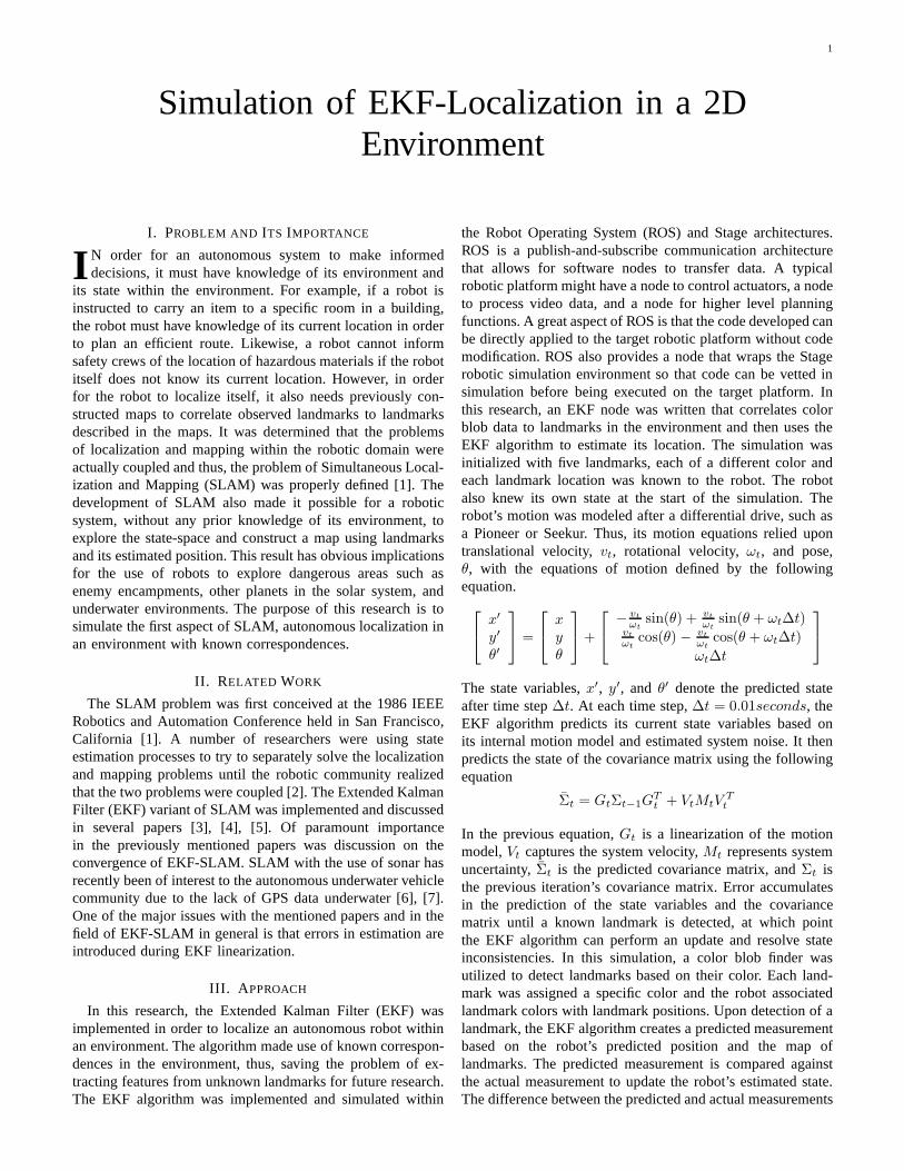
The robot in the simulation used a simple motor schemato navigate through the environment while avoiding obstacles.The robot merely moved in a straight line until its laser sensorsdetected an obstacle within 3 meters, at which point, the robotturned away from the vector pointing from the robot to theobstacle. Also, the robot decreased its velocity proportionallyto the distance to the obstacle. This simple motion allowedthe robot to navigate the environment and detect landmarks asshown in Figure 1.
Figure 1. Differential robot navigating the Stage environment.
In Figure 1, the landmarks are denoted by the yellow, green,red, blue, and black boxes. The robot is denoted by the smallerblue box with a tail showing the recent locations of the robot.
IV. EVALUATION OF RESULTS
The performance of the EKF localization algorithm wascompared against localization only using dead-reckoning.Themetric that was used to compare the two localization tech-niques was the percent error between the estimated position
of the robot and the actual position of the robot. The percenterror formula is given by the following formula.
%Error = 100 ∗prediction− actual
actual
Both the dead-reckoning odometry and the EKF localizationestimated coordinates were compared against the actual robotcoordinates generated by the simulation in figures 2, 3, 4, and5. In each figure, the x-axis is the simulation time and they-axis is the percent error.
Figure 2. Dead-reckoning odometry error in x-direction.
Figure 3. EKF error in x-direction.
Figure 4. Dead-reckoning odometry error in y-direction.
When the percent errors displayed in the figures are com-pared it is clear that the EKF localization technique predicted

3
Figure 5. EKF error in y-direction.
state variables that deviated less from the actual state variablesthan the state variables predicted by dead-reckoning. Whencomparing the figures it is important to note that the dead-reckoning percent error increased to over -29% while themaximum percent error in EKF was only around -12%. Also,the EKF algorithm usually maintained a percent error near the0% mark. However, the dead-reckoning technique predictedstate variables that oscillated and drifted wildly. A final noteabout the plots is that the EKF plots show evidence of aperiodic waveform. In the EKF plots, both the x and ypredicted states begin to deviate from the actual robot positionrapidly at the same time. The error in the x and y predictedvalues then decreased at the same time. This occurred in aperiodic fashion. Even though the plots of the dead-reckoningstates oscillated, the oscillations in the x and y error plots werenot time-correlated.
V. D ISCUSSION
Given that the dead-reckoning technique produced a largerstate variable error compared to the EKF technique, it is clearthat the EKF technique produced a better estimation of theactual robot coordinates. However, there are other interestinginsights into the EKF technique that are embedded in theperiodic nature of figures 3 and 5. The periodic increasesin error in the two figures are due to the placement of thelandmarks. As the robot uses its simple motor schema tonavigate the environment, it eventually positions itself in ahallway that does not have any landmarks. Thus, the robot hasto rely solely upon its internal motion model and covariancematrix to predict its state. However, due to noise in the system,this results in error accumulation because it cannot correctits position by observing a landmark. The EKF percent errorfigures show a periodic nature because the small environmentand simple motor schemas result in the robot moving throughsimilar trajectories in the environment. Thus, the robot movesinto the hallway without any landmarks several times on aregular interval.
While working on this project, the researcher became ex-tremely acquainted with the relationships between the EKFmatrices and how they effected each other. Also, while thelearning curve was steep, the ROS architecture proved tobe a capable framework for developing and simulating the
EKF algorithm. However, it should be noted that the Stagesimulator communication node provided by the standard ROSdistribution was not sufficient for simulating a robot with acolor blob finder. A ROS node that was developed by oneof the ROS community members had to be installed in orderto access all of the Stage simulator messages and commands.Also, the Eigen C++ library proved to be a great help in theimplementation of the EKF algorithm. Eigen is a C++ librarythat facilitates the use of linear algebra in C++. Eigen providesa simple syntax for initializing matrices and it even providesfunctions for multiplying, transposing, and taking the inversesof matrices.
There are definitely improvements that could be made tothe EKF algorithm as well as the overall architecture of thesystem. An inherent problem in EKF is the fact that lineariza-tion results in rounding errors in the internal motion model.Other Kalman filters should be explored such as the UnscentedKalman filter. Also, the motion planner for the robot couldbe improved in order to maximize landmark observations.Currently, the robot’s motion planner is only concerned withmoving in a straight line and avoiding obstacles when theyare within a certain range. The robot’s motion planner is notaffected by the presence or absence of landmarks. However,the robot’s state prediction could be improved if the robotactively sought out landmarks as it navigated the environment.When goals are eventually added to the robot’s planner, therobot could allocate time to seeking out landmarks to improvestate estimation while on its way to its objective. Finally,the use of multiple agents in the simulator is an interestingresearch problem. The multiple agents would communicatewith each other and observe each other in order to improveindividual localization. In multi-agent systems, it wouldbeinteresting to determine if the improved localization is worththe increased use of communication bandwidth.
REFERENCES
[1] H. Durrant-Whyte and T. Bailey, “Simultaneous localization and mapping:part i,” Robotics & Automation Magazine, IEEE, vol. 13, no. 2, pp. 99–110, 2006.
[2] S. Williams, P. Newman, G. Dissanayake, and H. Durrant-Whyte, “Au-tonomous underwater simultaneous localisation and map building,” inRobotics and Automation, 2000. Proceedings. ICRA ’00. IEEE Interna-tional Conference on, vol. 2, 2000, pp. 1793–1798 vol.2.
[3] S. Huang and G. Dissanayake, “Convergence and consistency analysisfor extended kalman filter based SLAM,”Robotics, IEEE Transactionson, vol. 23, no. 5, pp. 1036–1049, 2007.
[4] J. A. Castellanos, R. Martinez-Cantin, J. D. Tardos, andJ. Neira,“Robocentric map joining: Improving the consistency of EKF-SLAM,”Robotics and Autonomous Systems, vol. 55, no. 1, pp. 21–29, 2007.
[5] R. Vazquez-Martin, P. Nunez, J. del Toro, A. Bandera, andF. Sandoval,“Adaptive observation covariance for EKF-SLAM in indoor environmentsusing laser data,” inElectrotechnical Conference, 2006. MELECON 2006.IEEE Mediterranean, 2006, pp. 445–448.
[6] S. Barkby, S. Williams, O. Pizarro, and M. Jakuba, “An efficient approachto bathymetric SLAM,” in Intelligent Robots and Systems, 2009. IROS2009. IEEE/RSJ International Conference on, 2009, pp. 219–224.
[7] C. Roman and H. Singh, “Improved vehicle based multibeambathymetryusing sub-maps and SLAM,” inIntelligent Robots and Systems, 2005.(IROS 2005). 2005 IEEE/RSJ International Conference on, 2005, pp.3662–3669.
[8] S. Thrun, W. Burgard, and D. Fox,Probabilistic Robotics. The MITPress, Sep. 2005.