edition : catherine darrot presentation : marie-luce ghib rural seuca 2010 the observatory of rural...
TRANSCRIPT

Edition : Catherine Darrot Presentation : Marie-Luce Ghib
Rural Seuca 2010
The Observatory of Rural Development
A new collaborative web-service
initiated in France in 2009
by the INRA*
Rural Seuca August 2010
* National Institute for Research on Agriculture
Edition : Catherine Darrot Presentation : Marie-Luce Ghib
Rural Seuca 2010
What is INRA ?
The INRA initiated this observatory
INRA is a National institute (i.e. public) dedicated to research in Agriculture
This institute is connected to all the French other public services dedicated to Agriculture and rural development
This allowed the partnerships at the basis of this new observatory
Edition : Catherine Darrot Presentation : Marie-Luce Ghib
Rural Seuca 2010
What are the principles of this newObservatory of Rural Development ?
This observatory was initiated in January 2009 : it is a new web-service
It aims to gather figures and informations about• Agricultural and agro-environmental policies• Agricultural activities • Rural development.
It also welcomes access to two complementary observatories :• The observatory of European Programs for Rural
Dévelopment• The observatory of rural and agriculture work

Edition : Catherine Darrot Presentation : Marie-Luce Ghib
Rural Seuca 2010
Tools of the ORD (interactive)
Dynamic cartography
List of thematic files
List of geographical data
List of the primary data
Fast chart
Wiki ORD
Programs ORD
Generic tools
Edition : Catherine Darrot Presentation : Marie-Luce Ghib
Rural Seuca 2010
How does the Observatory (ORD) work ?
The partners of the ORD are responsible for various programs open to the users of the ORD
These programs are gathered in 5 networks
1. Research
2. Evaluation
3. Territory
4. Work
5. Signs of quality

Edition : Catherine Darrot Presentation : Marie-Luce Ghib
Rural Seuca 2010
5 networks in the ORD
Research INRA, CEMAGREF, CNRS Tool « Carto dynamics » (see later slide)
Evaluation ORD, INRA, ASP Evaluation of rural policies (PDRN2008, PHAE, PDRH…)
Rural statictical data
Maps of administrative zones
Territory Parntership with the Observatory of Farming activities in territories
Sharing methods and tools produced by the members of the network
Work MSA (Social farming insurance), INRA
Data on work in rural area and farming activities
Statistic
Social conditions…
Signs of quality
INAO, INRA Evaluating the impat of the policies promoting official signs of quality
Edition : Catherine Darrot Presentation : Marie-Luce Ghib
Rural Seuca 2010
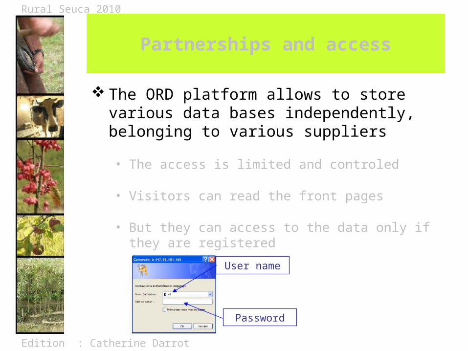
Partnerships and access
The ORD platform allows to store various data bases independently, belonging to various suppliers
• The access is limited and controled
• Visitors can read the front pages
• But they can access to the data only if they are registered
User name
Password
Edition : Catherine Darrot Presentation : Marie-Luce Ghib
Rural Seuca 2010
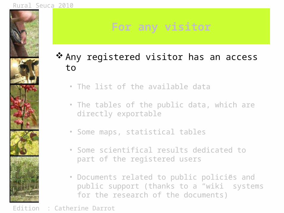
For any visitor
Any registered visitor has an access to
• The list of the available data
• The tables of the public data, which are directly exportable
• Some maps, statistical tables
• Some scientifical results dedicated to part of the registered users
• Documents related to public policies and public support (thanks to a “wiki” systems for the research of the documents)
Edition : Catherine Darrot Presentation : Marie-Luce Ghib
Rural Seuca 2010
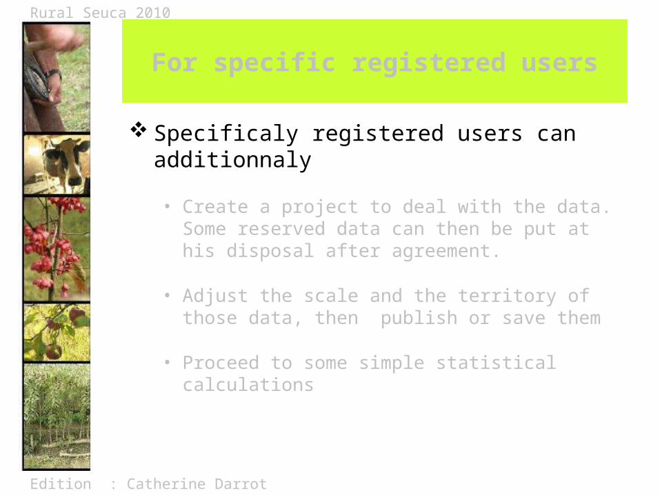
For specific registered users
Specificaly registered users can additionnaly
• Create a project to deal with the data. Some reserved data can then be put at his disposal after agreement.
• Adjust the scale and the territory of those data, then publish or save them
• Proceed to some simple statistical calculations

Edition : Catherine Darrot Presentation : Marie-Luce Ghib
Rural Seuca 2010
Data, maps and charts
The data-bases available on the ORD open the possibility to create indicators, which then can be published thanks to easily consultable tools.
The tables and charts are dynamic (adjustable on various types of territory) and exportable
This data-mapping is one of the important services offered by the ORD.
It is called (in French) « Carto Dynamique »

Edition : Catherine Darrot Presentation : Marie-Luce Ghib
Rural Seuca 2010
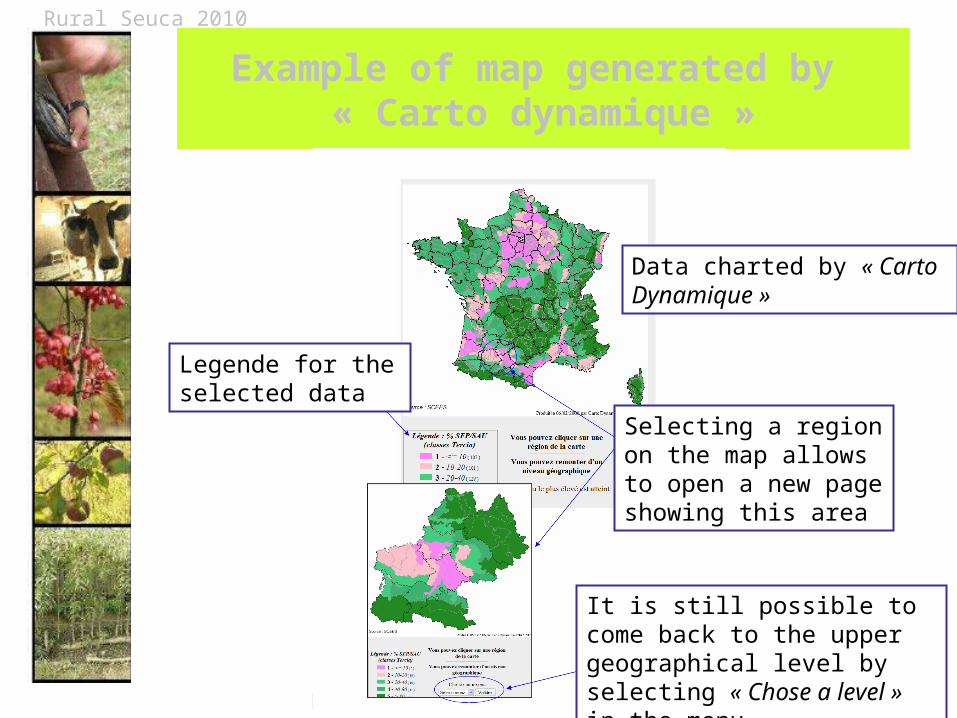
Example of map generated by « Carto dynamique »
Data charted by « Carto Dynamique »
Selecting a region on the map allows to open a new page showing this area
It is still possible to come back to the upper geographical level by selecting « Chose a level » in the menu
Legende for the selected data
Edition : Catherine Darrot Presentation : Marie-Luce Ghib
Rural Seuca 2010
To visit the web-site of the Observatory
https://esrcarto.supagro.inra.fr/intranet/carto_joomla/index.php
Contact : Gilles Allaire the initiator of the ORD
Directeur d'unité de la structure
Observatoire des Programmes Communautaires de Développement Rural