Download - We have a vision,
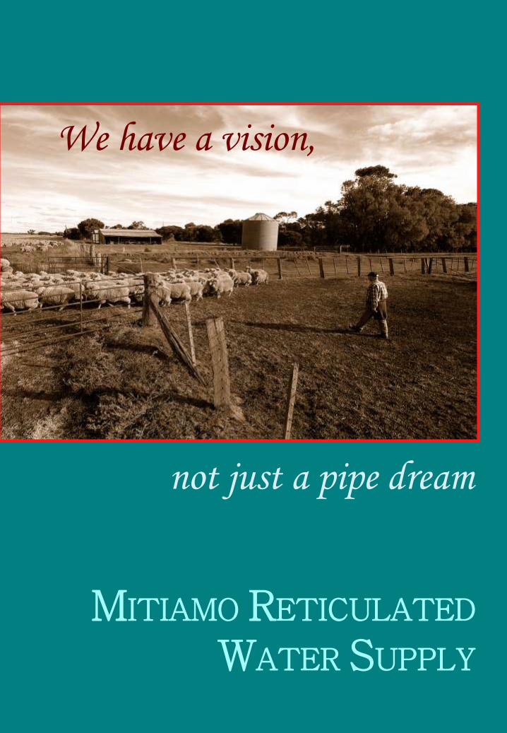
We have a vision,
not just a pipe dream
MITIAMO RETICULATED
WATER SUPPLY


4. PROPOSED CONCEPTS
1. AREA MAP AND SUMMARY
3. AIM AND PURPOSE
2. VISION
Contents
5. STEERING COMMITTEE MEMBERS

Area map
Area summary
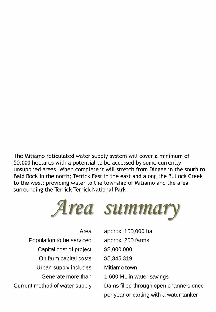
The Mitiamo reticulated water supply system will cover a minimum of
50,000 hectares with a potential to be accessed by some currently
unsupplied areas. When complete it will stretch from Dingee in the south to
Bald Rock in the north; Terrick East in the east and along the Bullock Creek
to the west; providing water to the township of Mitiamo and the area
surrounding the Terrick Terrick National Park
approx. 100,000 ha
approx. 200 farms
$8,000,000
$5,345,319
Mitiamo town
1,600 ML in water savings
Dams filled through open channels once
per year or carting with a water tanker
Area
Population to be serviced
Capital cost of project
On farm capital costs
Urban supply includes
Generate more than
Current method of water supply

There is a sense of awe when you
stand on Mt. Terrick (Mitiamo Rock)
and behold the panorama of the
plains. In spring the view is like a
patch work quilt of shades of green,
gold and brown, of plains stretching
out east to the Murray, south to
Bendigo, west to the Loddon and
beyond and to the north the
Sylvaterre Hills reaching out to Mt.
Hope and Pyramid Hill. As you stand
above the trees of the forest you
realize that this is indeed a special
place.
Vision
In the early years of European settlement the supply of stock and
domestic water was a constant struggle, communities flourished and
diminished all for the lack of a good quality, constant water supply.
These early watering points consisted of runoff into dams when
there was adequate rain fall, shallow wells with the supply limited
and often saline, or a reliance on the intermittent flows in creeks.
This led to the development, in the first part of the 20th century, of
the open channel system criss-crossing the plains and bringing water
to those that gravity would allow.
Long ago the Babarabara, the Yorta
Yorta and the Dja Dja Wurrung peoples
travelled through these plains, following
the creeks, rivers and swamps hunting
and fishing as custodians of the land.
They too knew it was a special place,
indeed the dry northern plains of
Victoria are truly unique. Rich and
fertile yet often overlooked, regarded
by some as a poor cousin to the lush
irrigation areas that surround them. All
this has changed as the reality of global
warming, climate change and drought
bites home.
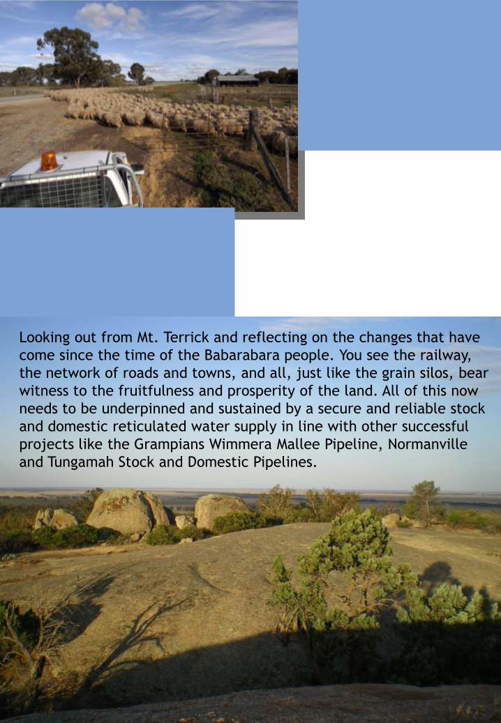
Looking out from Mt. Terrick and reflecting on the changes that have
come since the time of the Babarabara people. You see the railway,
the network of roads and towns, and all, just like the grain silos, bear
witness to the fruitfulness and prosperity of the land. All of this now
needs to be underpinned and sustained by a secure and reliable stock
and domestic reticulated water supply in line with other successful
projects like the Grampians Wimmera Mallee Pipeline, Normanville
and Tungamah Stock and Domestic Pipelines.

Aim The steering committee’s aims and
purposes are to :-
That the government
fund the project with the
aim that farmers and
users will be responsible
for their own on-farm or
end user costs.
Provide good quality, secure, stock and
domestic water supply to existing
customers and to provide an opportunity
for currently non-serviced landowners to
access such water.
Release all water savings
back to the community.
Renew and replace aged
and inefficient infrastructure
with a cost effective system
more able to enhance
sustainable communities.
This will increase
productivity and long term
viability in the face of
drought, climate change and
global warming.
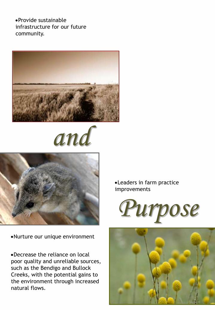
PurposeLeaders in farm practice
improvements
Nurture our unique environment
and
Decrease the reliance on local
poor quality and unreliable sources,
such as the Bendigo and Bullock
Creeks, with the potential gains to
the environment through increased
natural flows.
Provide sustainable
infrastructure for our future
community.

Proposed concepts
based on
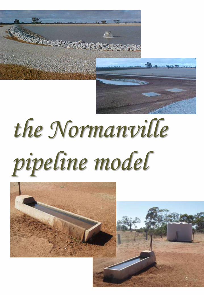
the Normanville
pipeline model
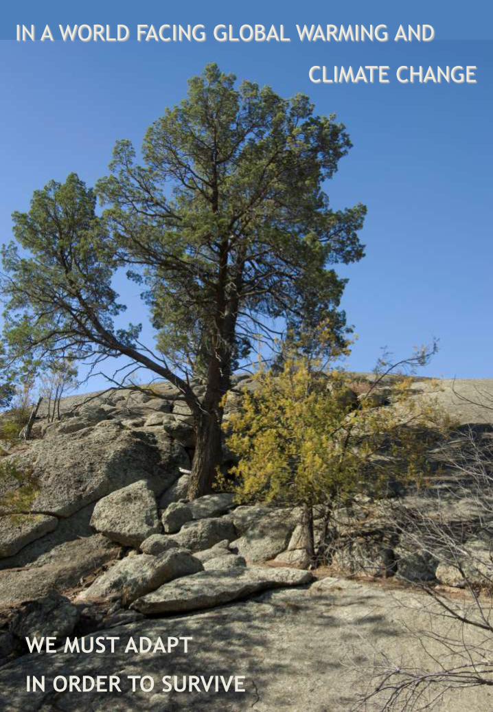
IN A WORLD FACING GLOBAL WARMING AND
WE MUST ADAPT
CLIMATE CHANGE
IN ORDER TO SURVIVE
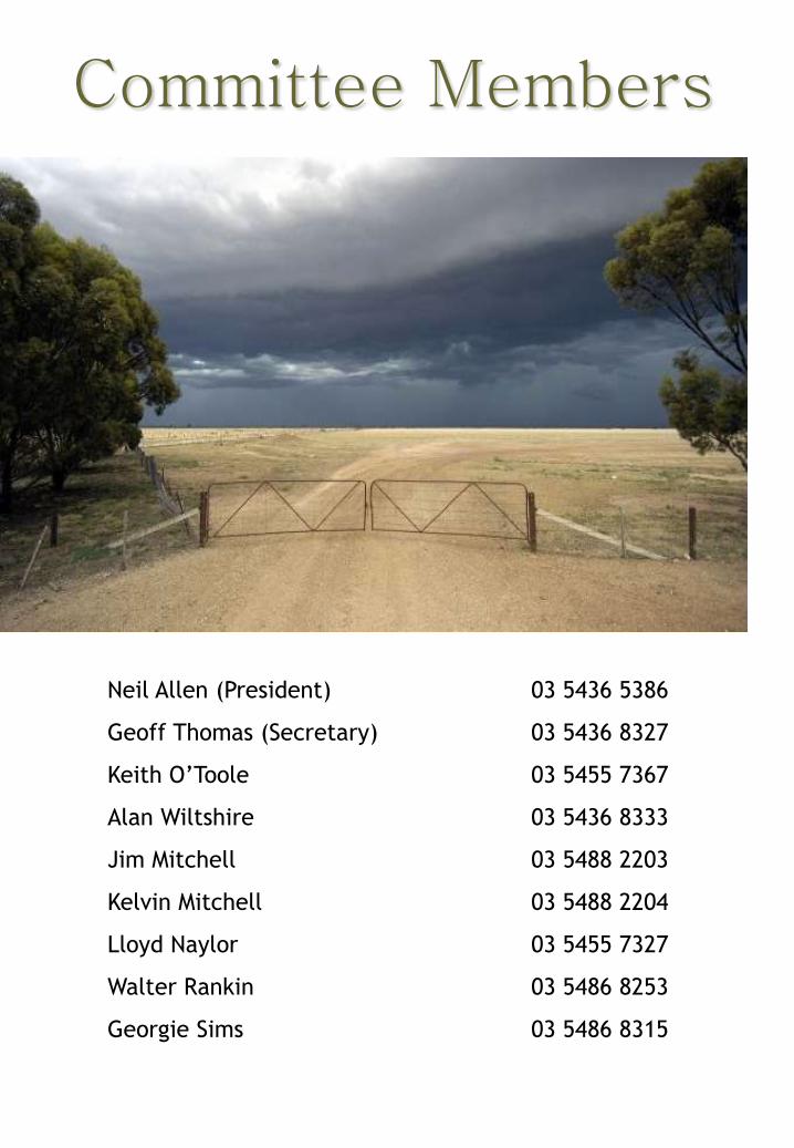
Neil Allen (President) 03 5436 5386
Geoff Thomas (Secretary) 03 5436 8327
Keith O’Toole 03 5455 7367
Alan Wiltshire 03 5436 8333
Jim Mitchell 03 5488 2203
Kelvin Mitchell 03 5488 2204
Lloyd Naylor 03 5455 7327
Walter Rankin 03 5486 8253
Georgie Sims 03 5486 8315
Committee Members


