×
Log in
Upload File
Most Popular
Study
Business
Design
Technology
Travel
Explore all categories
Download -
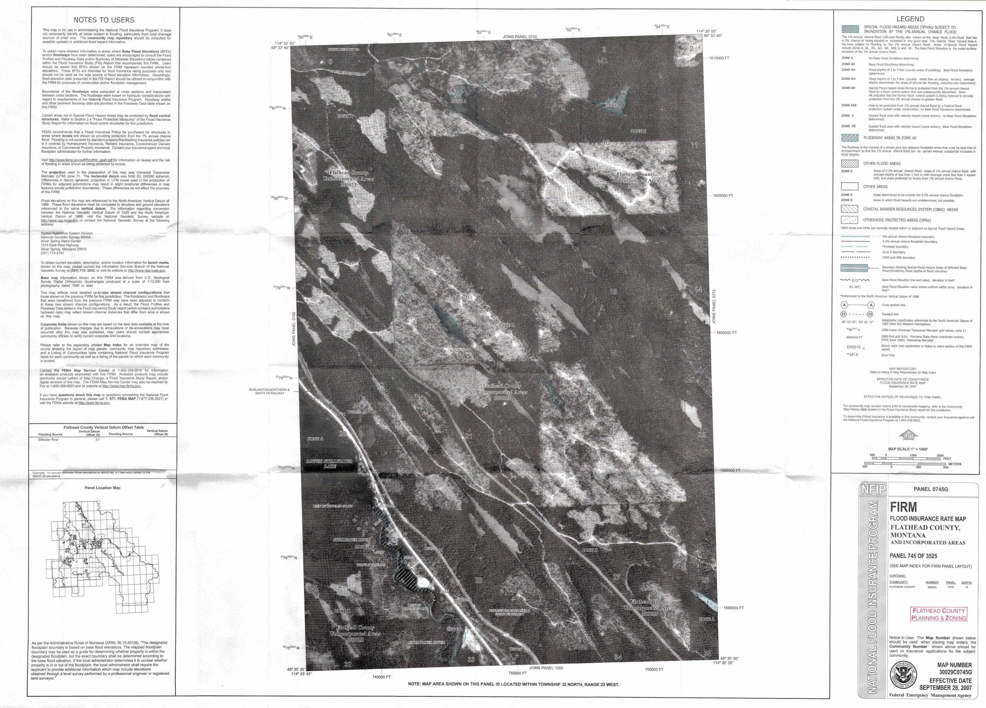
· PDF fileencroachment so that the 1% annuql chance flood can be carried without substantial increases in flood heights. ZONE X ZONE X ZONE D OTHER FLOOD AREAS
Download
Transcript
Page 1
Top Related
Lake Tana Flood Zone Mapping Using GIS Tana Flood zone mapping.pdf · Write the output name as “Bath_Raster” and use “Sub map_gilgelabay” as a GeoReference from the list box
Revised NOAA Flood Zone Maps Post Hurricane Sandy
Land Surveyors, FEMA and Other Flood Zone Issues
Coastal Analysis and Mapping - RiskMAP6 flood elevations (BFEs) will vary in each zone. Changes in flood zone and BFEs can have a significant impact on building requirements and flood
2010 Annuql Rep·ort :s:u:r.ea.u for Private Postsecondary ...imsmontessori.org/IMS-2010-Annual-Report.pdf · 2010 Annuql Rep·ort :s:u:r.ea.u for Private Postsecondary Educatio·n
Resilient Neighborhoods: GERRITSEN BEACH · August 5 th, 2015 Resilient Neighborhoods: ... Vital commercial corridors are located in the flood zone. BUILDINGS IN THE FLOOD ZONE: NYC
Town of Dennis August 7, 2013 Flood Zone Map Update Presentation
GAO-16-59, NATIONAL FLOOD INSURANCE PROGRAM: Continued ... · Table 1: National Flood Insurance Program Flood Zone Designations 4 Table 2: General Differences between National Flood