
Simple GIS!in documentation and description:!
Google Earth !for the visualization and analysis of
spatially-themed language use
Andrea L. Berez University of Hawai‘i

! Today’s Goals: To explain how Google Earth (GE) can be used for visualization of geographic information to assist analysis and documentation.
! What’s Coming Up: – GE’s path feature – Ahtna case study – Other GE projects – Demo: making a GE
path
LSA/SSILA 2013 | Boston
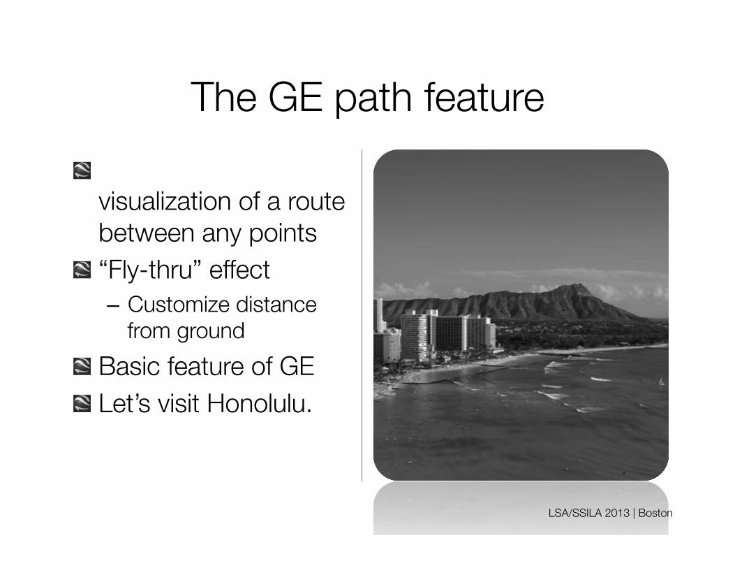
The GE path feature ! Allows 3-D
visualization of a route between any points
! “Fly-thru” effect – Customize distance
from ground ! Basic feature of GE ! Let’s visit Honolulu.
LSA/SSILA 2013 | Boston

GIS in linguistics is growing, e.g.: ! Language change:
– Static: Mapping language communities (eg Veselinova & Booza, right)
– Dynamic: Migration, contact
! Documentation: – Associating place to
narratives about TEK, local history, photos…
! Analysis & description: – Comparative work – Spatial grammar, lexicon,
semantics
LSA/SSILA 2013 | Boston
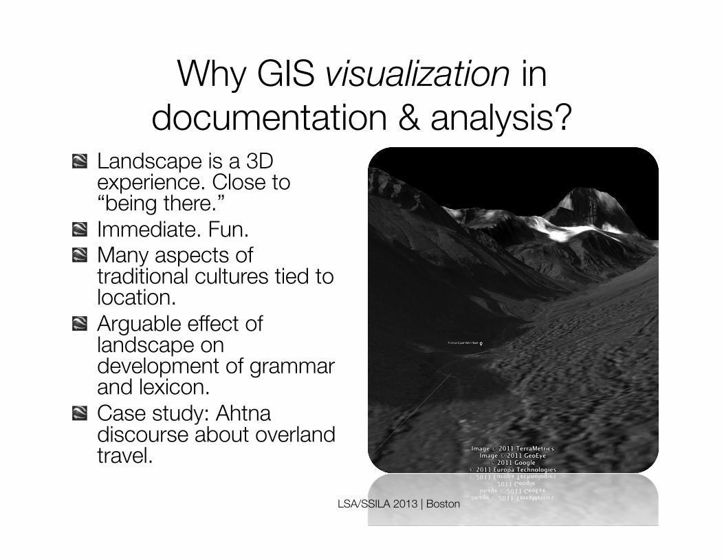
Why GIS visualization in documentation & analysis?
! Landscape is a 3D experience. Close to “being there.”
! Immediate. Fun. ! Many aspects of
traditional cultures tied to location.
! Arguable effect of landscape on development of grammar and lexicon.
! Case study: Ahtna discourse about overland travel.
LSA/SSILA 2013 | Boston

Study of directional morphology!in discourse (Berez 2011)
! Polysynthetic, many precise forms possible (logically 400+) – Stem: riverine – Prefixes: distal vs
medial vs proximal – Suffixes: area vs point,
allative vs ablative ! How are these used to
describe overland travel?
LSA/SSILA 2013 | Boston
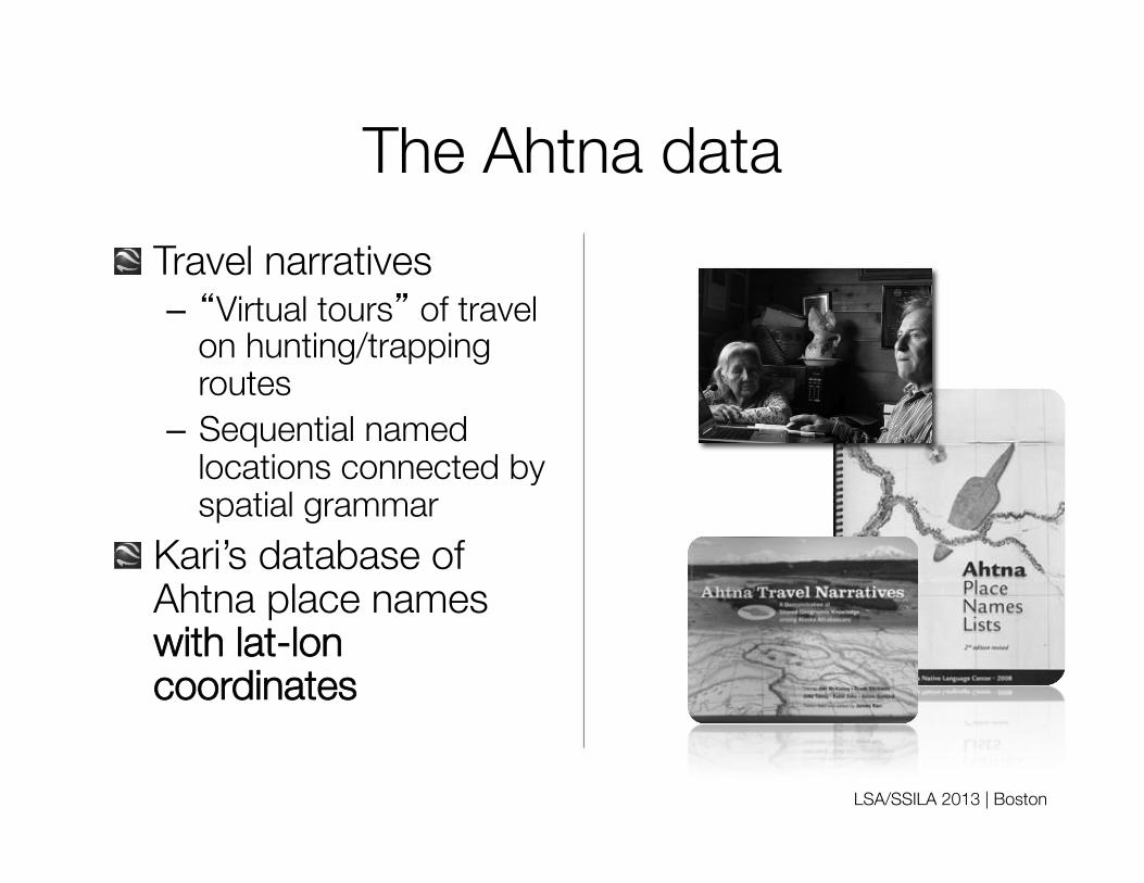
The Ahtna data ! Travel narratives
– “Virtual tours” of travel on hunting/trapping routes
– Sequential named locations connected by spatial grammar
! Kari’s database of Ahtna place names with lat-lon coordinates
LSA/SSILA 2013 | Boston

Method ! Uploaded placename
coordinates into GE ! Created GE paths
along travel routes (rivers)
! Used geodata to assist with analysis – Distances – Elevation
! Let’s look briefly.
LSA/SSILA 2013 | Boston
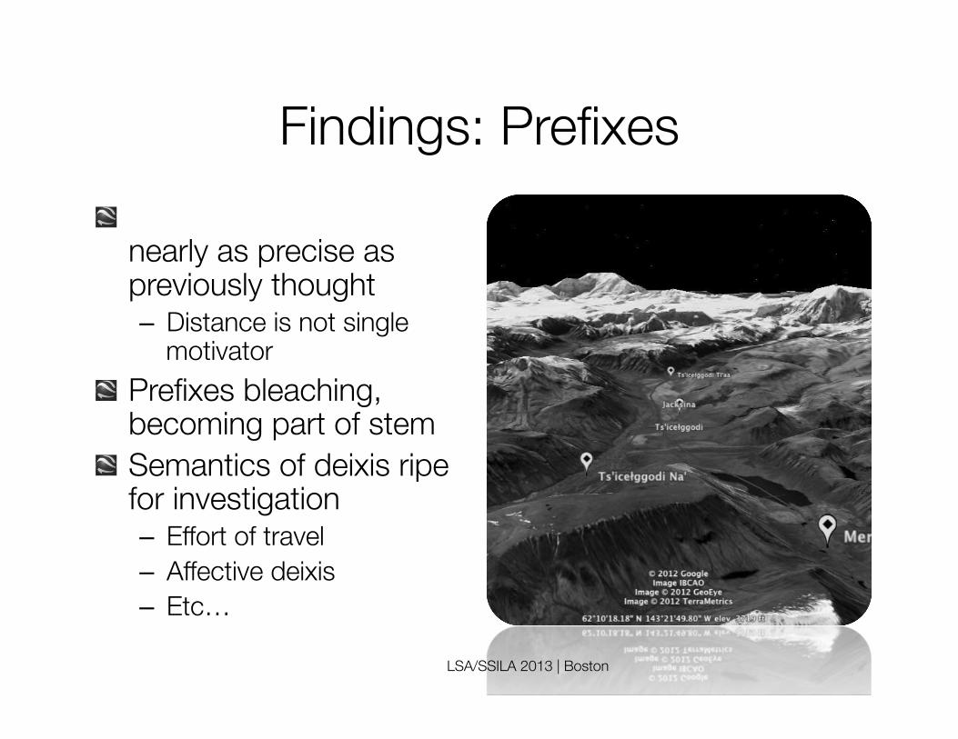
Findings: Prefixes ! Deictic distinctions not
nearly as precise as previously thought – Distance is not single
motivator ! Prefixes bleaching,
becoming part of stem ! Semantics of deixis ripe
for investigation – Effort of travel – Affective deixis – Etc…
LSA/SSILA 2013 | Boston

Findings: Suffixes ! Areal and punctual
suffixes build discourse episodes – Punctual suffix layers
mini-episodes of point-to-point journeys
– Areal suffix indicate larger episodes and the ultimate destination of the journey
LSA/SSILA 2013 | Boston

Mojave (CA-AZ-NV) ! Colorado River as
source of TEK (Diaz & Penfield, in progress)
! Plans to map river – With narratives about
land use at waypoints ! Imagery > electronic
gaming for learning – TEK – Mojave language
! Part of larger curriculum development
LSA/SSILA 2013 | Boston

Manang Languages (Nepal) ! Interactive audio-visual
atlas ! GE interface online,
hosted at SIUE. ! Currently socioling
interviews from 2012, more to come
LSA/SSILA 2013 | Boston
! See Kristine Hildebrandt’s poster tomorrow morning, CELP workshop
! www.mananglanguages.org/

Linguistic diversity in!PNG & British Columbia
! Comparing “hot spots” of great diversity in terms of – Terrain – Travel methods – Travel routes – Resource use – Trading
LSA/SSILA 2013 | Boston

Summary:!Why GE for visualization?
! Free, easy, widely available ! Excellent for projects with
low data load ! Good quality visualization
– Images updated frequently – Easy copyright – High-res images with Pro
version ! For Ahtna:
– Complex narratives “revealed themselves” only after place names were mapped Brief Tutorial:
Google Earth Paths

Thank you. Special thanks to ! Pat Shaw ! Natalie Diaz ! Susan Penfield ! Kristine Hildebrandt ! Jim Kari
LSA/SSILA 2013 | Boston


