ggim.un.org
Positioning geospatial information to address global challenges
Personal Digital Assistant (PDA)/Hand-held Devices:
Integrated Field Data Collection
(Electronic Questionnaire + GPS, etc.)
Amor LAARIBIUN-GGIM SecretariatUN Statistics DivisionNew York

ggim.un.org
Positioning geospatial information to address global challenges
Overview of the Presentation
Challenges with Paper-based Data Collection/Processing
Moving to PDA/Handheld-based Data Collection/Processing: An Integrated Approach Key Features Advantages vs Disadvantages
Implementation/Organizational Aspects
Challenges/Recommendations
ggim.un.org
Positioning geospatial information to address global challengesAtelier régional des Nations Unies sur le traitement des données
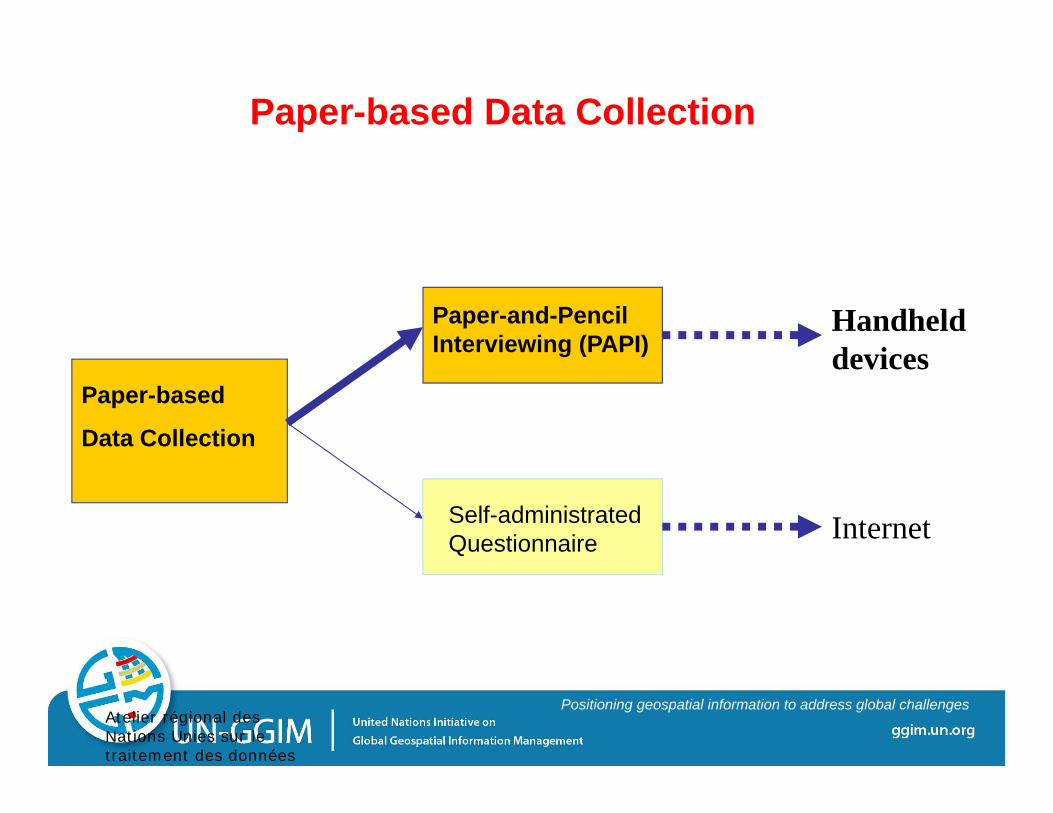
Paper-based Data Collection
Paper-based
Data Collection
Paper-and-Pencil Interviewing (PAPI)
Self-administrated Questionnaire
Handheld devices
Internet
ggim.un.org
Positioning geospatial information to address global challenges
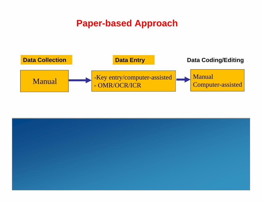
Paper-based Approach
Manual
ManualComputer-assisted
-Key entry/computer-assisted- OMR/OCR/ICR
ManualComputer-assisted
Automated/built-inPDA ‘s Approach
Data Collection Data Entry Data Coding/Editing
Data Collection/Entry/Coding/Editing Data Coding/Editing
(partial)

ggim.un.org
Positioning geospatial information to address global challenges
Challenges with Paper-based Data Collection/ Processing
Inefficient information gathering Slow and time-consuming Re-keying information is inefficient and increases chance of error Paper-based forms increase chance of error Submitting multiple forms for a single process Cannot capture value-added data (e.g. geographic data)
Data Integrity and Authenticity: No way to check that the data entered is correct No cross checking with third-party data sources

ggim.un.org
Positioning geospatial information to address global challenges
Moving to PDA/Handheld Devices
Personal Digital Assistant: “A personal digital assistant (PDA) is a handheld
computer, also known as small or palmtop computer.”
PDA vs Handheld computer/Tablet: Handheld computer/Tablet offers more features than a
PDA (larger than a PDA; smaller than a Laptop!) Used interchangeably (Mobile Device)

ggim.un.org
Positioning geospatial information to address global challenges
PDAs - Key Features
Works like a “Pocket Computer” Processor, RAM, ROM, Operating System Applications can we load on the device Device has processing power
Integrated field platforms with : GPS, cellular, camera and OS applications
Increases Productivity “on the move” Data can be collected in digital format in the field Data can be directly uploaded into the server

ggim.un.org
Positioning geospatial information to address global challenges
PDA: Way of Collecting (Census) Data
Electronic questionnaire - Contents of the census form are stored onto the PDA so that the questions appear sequentially on the screen
Data are entered into a hand-held computer instead of onto a paper census form, allowing: Immediate evaluation at the moment of data collection, allowing the
correction of information at the moment of the interview; The filling out of all the compulsory questions, avoiding the lack of answers
due to forgetfulness or mistake by the enumerator; Optimization of the filling out of data through automatic skips in the
questionnaire, avoiding covering several items about which, sometimes, there would be no reply; which could
Optimize time used by the enumerator and the head of household.

ggim.un.org
Positioning geospatial information to address global challenges
PDA capabilities
Besides providing: Mobile/Electronic forms Inbuilt validations for data Highly Secure: Biometrics and Wireless
Data are then electronically transmitted to an NSO database for further processing: Range of connectivity options: WiFi, CDMA
/ GSM Radio Capability to work offline & online to
connect to a central database Other characteristics:
Ease of use Multi-lingual capability

ggim.un.org
Positioning geospatial information to address global challenges
PDA: Integrated Approach
The device can be enabled with GPS to:
access to coordinates of spots in the urban census track perimeter during the pre-collection operation (develop. of EAs);
access to coordinates of the units visited during data collection in rural census tracks;
use of coordinates obtained during data collection to track the location of the place from where the data was entered which would allow the department to check cases of fraudulent data entry; and
Tracking could be undertaken to assist the enumerator in understanding their current location and also capture the geographical location of where the census data was captured.
ggim.un.org
Positioning geospatial information to address global challenges
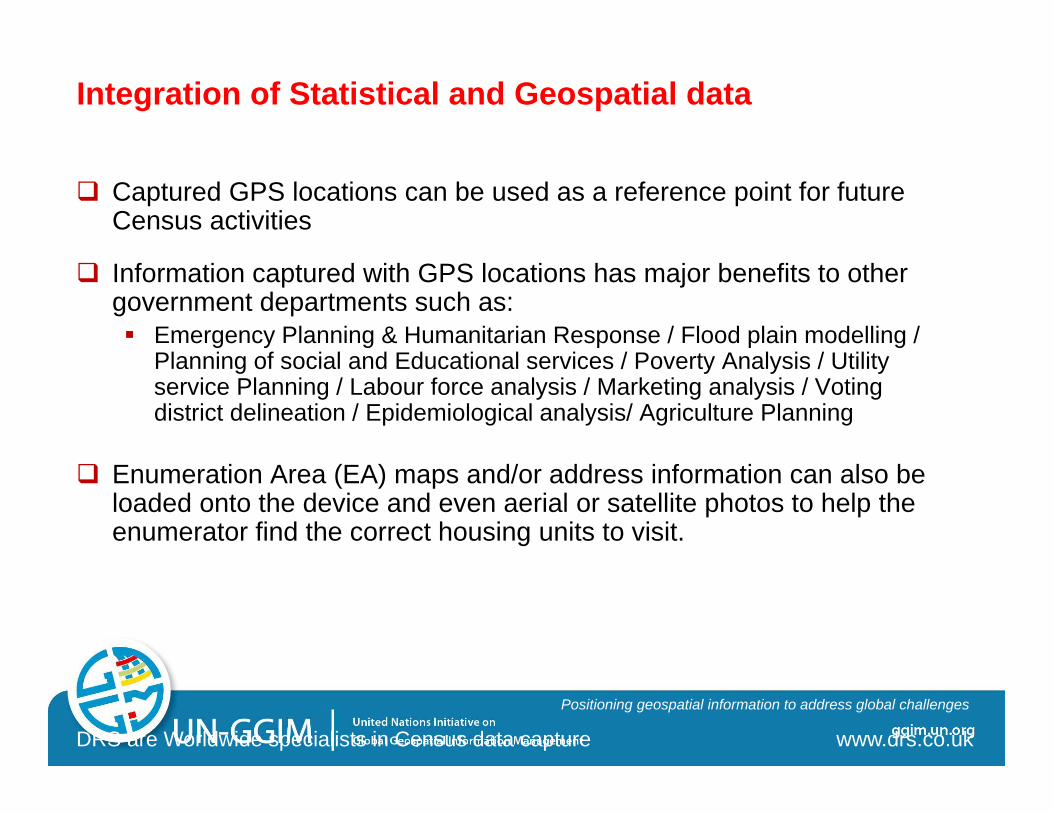
Captured GPS locations can be used as a reference point for future Census activities
Information captured with GPS locations has major benefits to other government departments such as: Emergency Planning & Humanitarian Response / Flood plain modelling /
Planning of social and Educational services / Poverty Analysis / Utility service Planning / Labour force analysis / Marketing analysis / Voting district delineation / Epidemiological analysis/ Agriculture Planning
Enumeration Area (EA) maps and/or address information can also be loaded onto the device and even aerial or satellite photos to help the enumerator find the correct housing units to visit.
DRS are Worldwide specialists in Census data capture www.drs.co.uk
Integration of Statistical and Geospatial data

ggim.un.org
Positioning geospatial information to address global challenges
Summary of the Key Features
Real-time task management from office Manage field time, expenses, etc. Data synchronization and management Secure applications, procedures and protocols Ability to encrypt data for secure transmission Integrated field platforms with GPS, cellular, camera and OS
applications Geographical and map processing

ggim.un.org
Positioning geospatial information to address global challengesAtelier régional des Nations Unies sur le traitement des données
Paper-based Approach vs PDA’s Approach
Manual
ManualComputer-assisted
-Key entry/computer-assisted- OMR/OCR/ICR
ManualComputer-assisted
Automated/built-in
Paper-based Approach
PDA ‘s Approach
Data Collection Data Entry Data Coding/Editing
Data Collection/Entry/Coding/EditingData Coding/Editing
(partial)

ggim.un.org
Positioning geospatial information to address global challenges
Advantages and Disadvantages of use of PDAsAdvantages
Instant data capturing at the point of collection, reducing manual input errors
Immediate data validation, reducing re-verifications at later stage
Time effective with real time logical validation rules, reducing logical errors
Faster processing of census information leading to timely availability of results
Integration of geospatial data; other value-added data
The use of the PDA’s during enumeration raises the profile of digital communication with the general population especially with those who see this type of technology for the first time.
Disadvantages
Setting up of process may take a long time as it requires extensive testing
Requires that enumerators have ability to use the device which may require administering a test
Requires intensive training of enumerators on use of device (training is more complicated)
Need to recharge the battery which could run out during enumeration
Possibility of equipment failure, theft, etc.
ggim.un.org
Positioning geospatial information to address global challenges
Some Implementation/Organizational Aspects
Need to Build Partnership with: Application development partner
(IT Cie with expertise in mobile forms and hosting data centers) Device Manufacturer
(To provide the devices as per specification) Connectivity provider
(To provide connectivity for the device so that the data can be transferred seamlessly to the data center)
Capacity building supporter(Training on using not only the forms and the entire process of data
collection but also on the basics of the device and what to do for trouble shooting).
Nodal Agency: Operationalize the whole process

ggim.un.org
Positioning geospatial information to address global challenges
Significant costs (Time and money)
For implementation of both PDA or hand-held GPS, the following needs to be considered:
Purchase of hardware (PDA ~$300USD/Each) Technical Training for enumerators Cost of Pre/Post Census mapping exercise Software development Logistical costs
Considering/Planning for the deployment of the massive number of devices

ggim.un.org
Positioning geospatial information to address global challenges
Challenges
Learn about some practices/experiences: the qualitative as well as quantitative benefits of handheld devices have been proven in field in many countries (Australia, Brazil, Canada, Malaysia, New Zealand, UAE, Oman, Cape Verde, etc…)
Various Options are available for selecting handheld devices
Clear identification of objective is required for selecting best device
Important to have extensive training prior to deployment
Build a solid partnership: Integrator
Post implementation support – technical as well as hardware support ensures project success
ggim.un.org
Positioning geospatial information to address global challenges
Some Important Factors
The necessity of strong investment in the planning stage, during which the equipment to be used is defined, the forms of communication and data transmission, and the software solution to be implanted, are basic factors for the success of the operation.
The need to undertaken prototype/smaller survey projects and so acquire some prior learning experience
The necessity of carrying on dress rehearsal censuses in order to validate all the stages and anticipate alternative solutions.
ggim.un.org
Positioning geospatial information to address global challenges
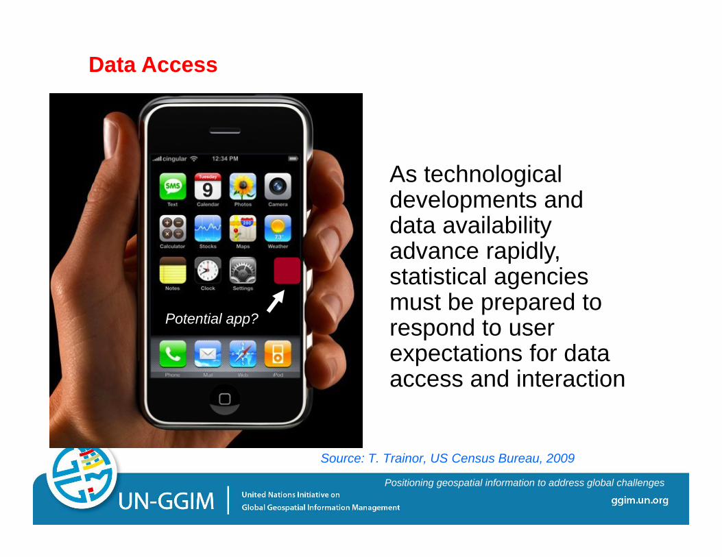
Source: T. Trainor, US Census Bureau, 2009
Potential app?
As technological developments and data availability advance rapidly, statistical agencies must be prepared to respond to user expectations for data access and interaction
Data Access
ggim.un.org
Positioning geospatial information to address global challenges
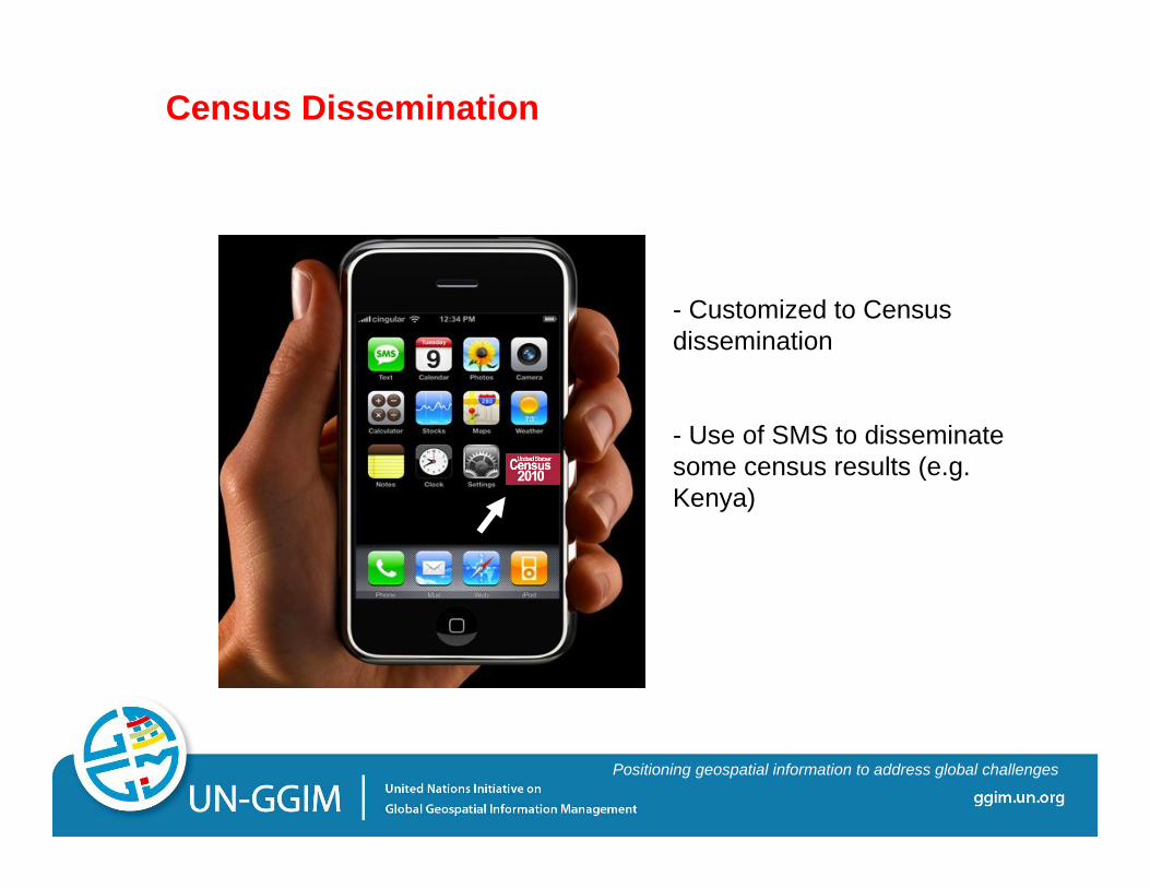
- Customized to Census dissemination
- Use of SMS to disseminate some census results (e.g. Kenya)
Census Dissemination

ggim.un.org
Positioning geospatial information to address global challenges
Scalable Hardware - (Source: ESRI)
. . . and Services Oriented
• Faster• Multi Processors• Loosely Coupled• Connected
WebServices
Cell Phone
PDA
TabletPC
Laptop
Desktop
Server
Server Cluster
BladeServer
ggim.un.org
Positioning geospatial information to address global challenges
Recommendations/Conclusions
Mobile devices for data collection/dissemination is being recognized as an option worth considering in the next round of censuses (some developing countries, particularly, find it an appropriate solution to the challenges faced with the paper-based approach).
The necessity of early planning and through preparation for the adoption of mobile devices solution, including prototyping, use in small survey projects, and pilot exercises in order to validate all the stages and anticipate alternative solutions – a gradual approach.
As for any new technology-based approach, need to seek partnership/outsourcing
Particular consideration for the “integration aspects” and training of enumerators
Part of a multi-modal approach
ggim.un.org
Positioning geospatial information to address global challenges
Thank You


