Lesson 2: Tracking Albatross Migrations
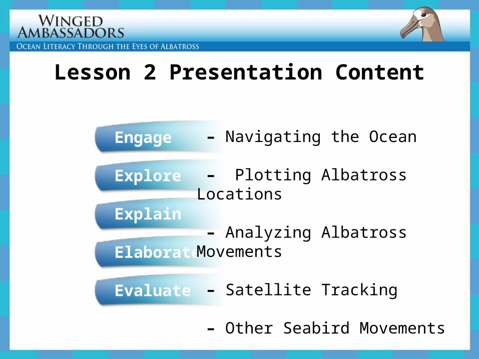
Lesson 2 Presentation Content
Engage
Explore
Explain
Elaborate
Evaluate
– Navigating the Ocean
– Plotting Albatross Locations
– Analyzing Albatross Movements
– Satellite Tracking
– Other Seabird Movements
EngageNavigating the Ocean
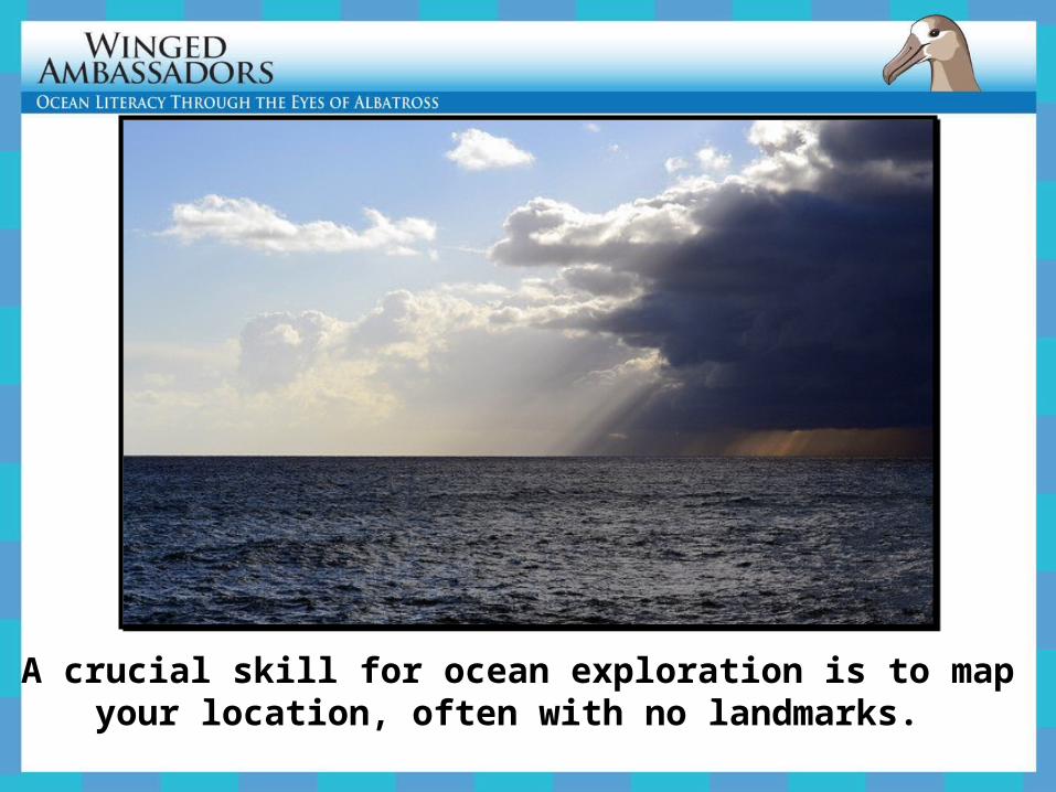
A crucial skill for ocean exploration is to map your location, often with no landmarks.
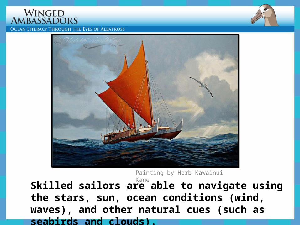
Skilled sailors are able to navigate using the stars, sun, ocean conditions (wind, waves), and other natural cues (such as seabirds and clouds).
Painting by Herb Kawainui Kane
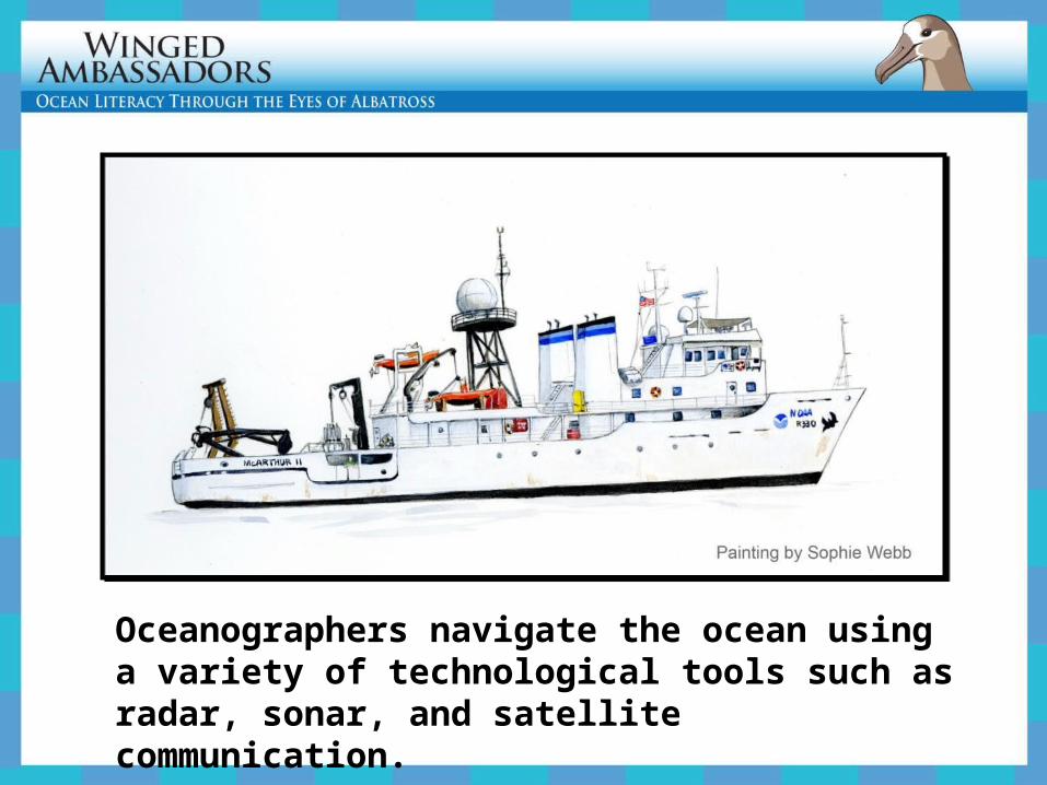
Oceanographers navigate the ocean using a variety of technological tools such as radar, sonar, and satellite communication.
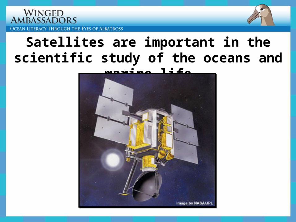
Satellites are important in the scientific study of the oceans and marine life
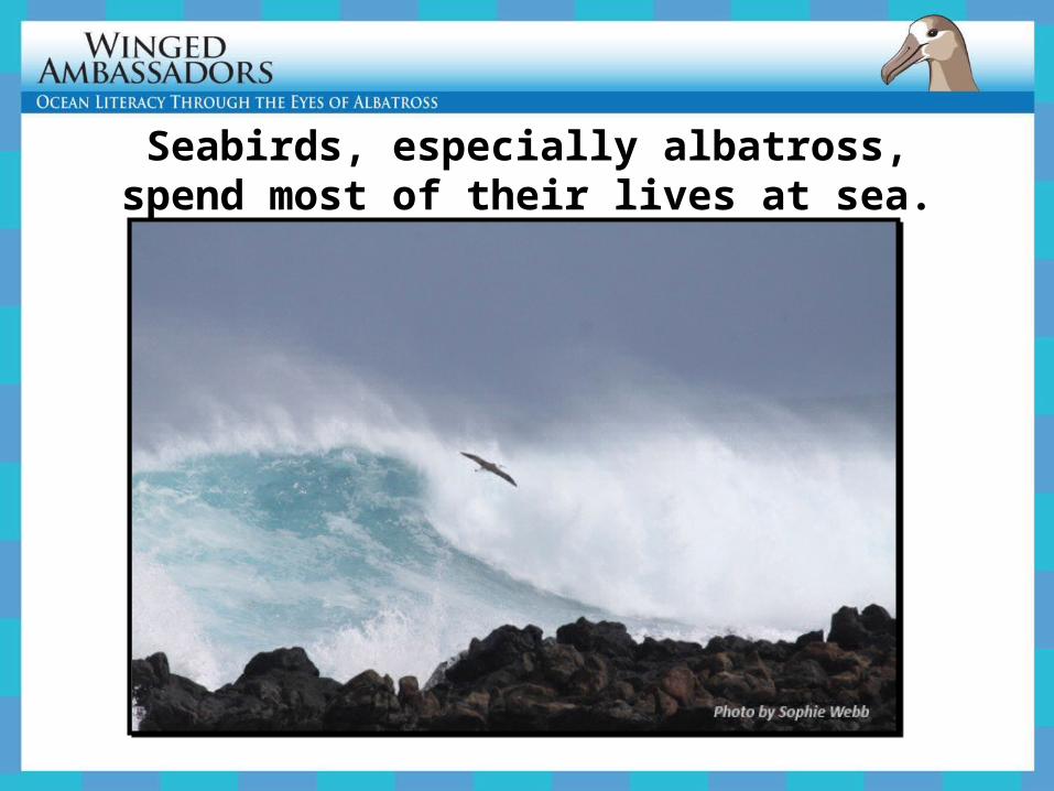
Seabirds, especially albatross, spend most of their lives at sea.
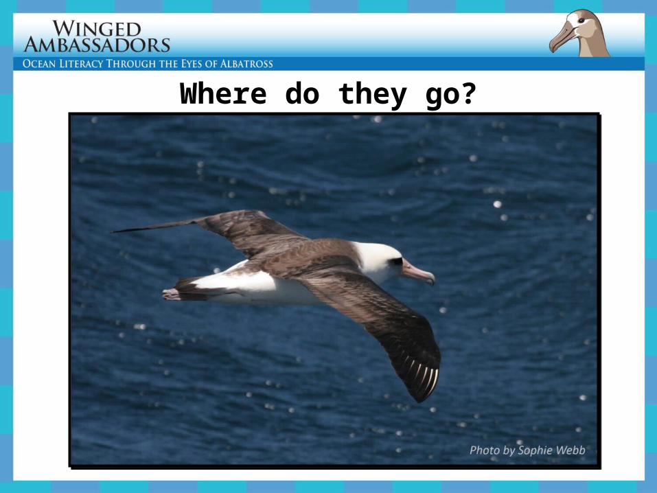
Where do they go?
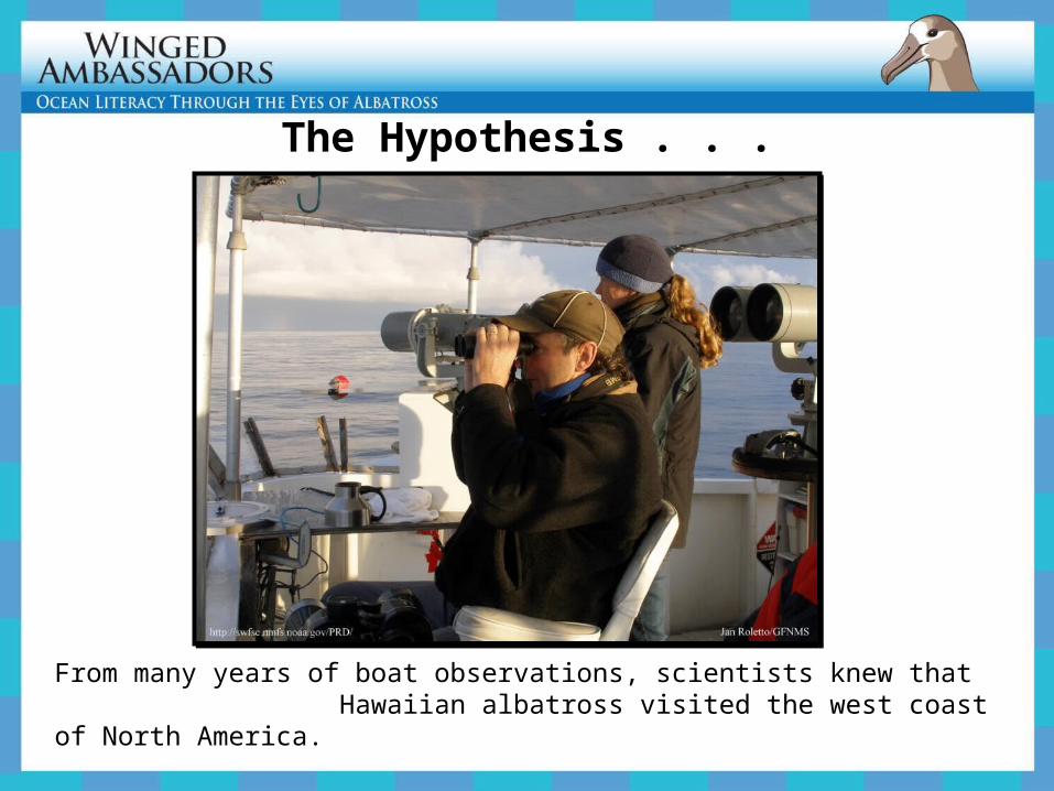
The Hypothesis . . .
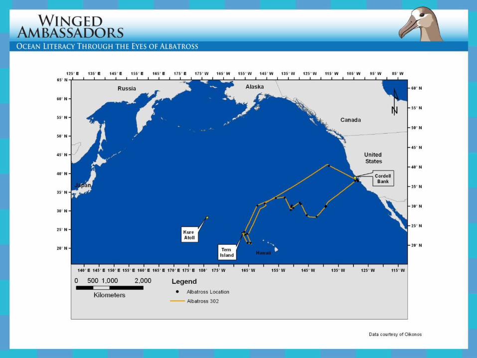
From many years of boat observations, scientists knew that Hawaiian albatross visited the west coast of North America.
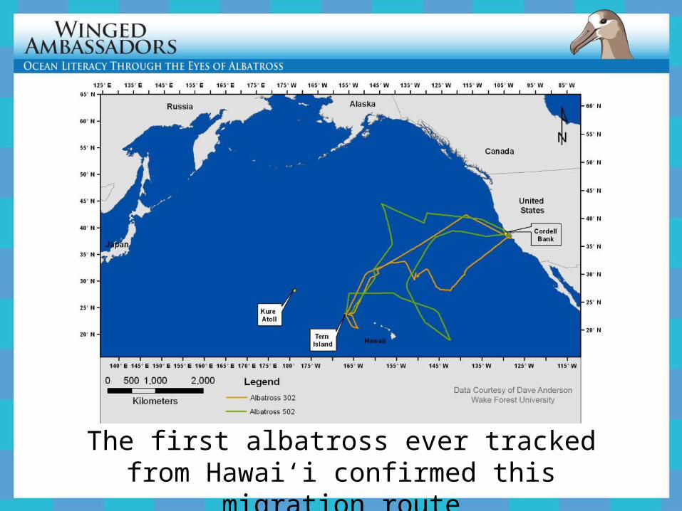
The first albatross ever tracked from Hawai‘i confirmed this migration route
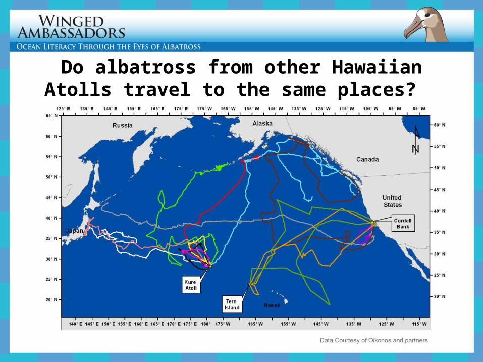
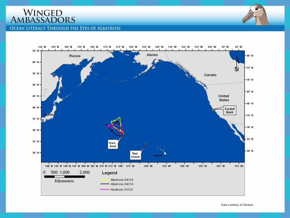
Do albatross from other Hawaiian Atolls travel to the same places?
Reminds us of a few critical aspects about science:
• Scientific knowledge is subject to change.
• Technology and human creativity aid science.
• Hypotheses not supported by data are just as important as hypotheses that are… they both advance our understanding.
A great discovery!
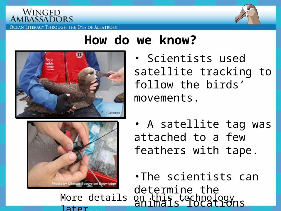
• Scientists used satellite tracking to follow the birds’ movements.
• A satellite tag was attached to a few feathers with tape.
•The scientists can determine the animals’locations after they are released.
How do we know?
More details on this technology later...
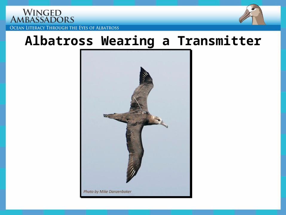
Albatross Wearing a Transmitter
ExplorePlotting Albatross Locations
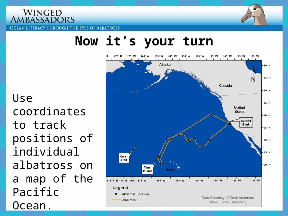
Now it’s your turn
Use coordinates to track positions of individual albatross on a map of the Pacific Ocean.
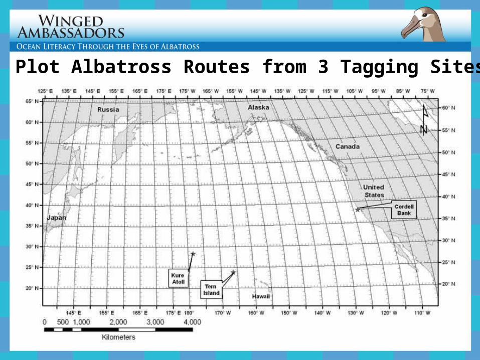
Plot Albatross Routes from 3 Tagging Sites
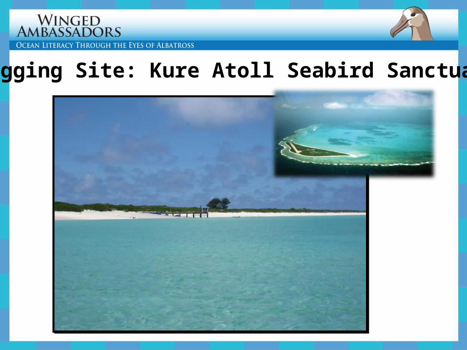
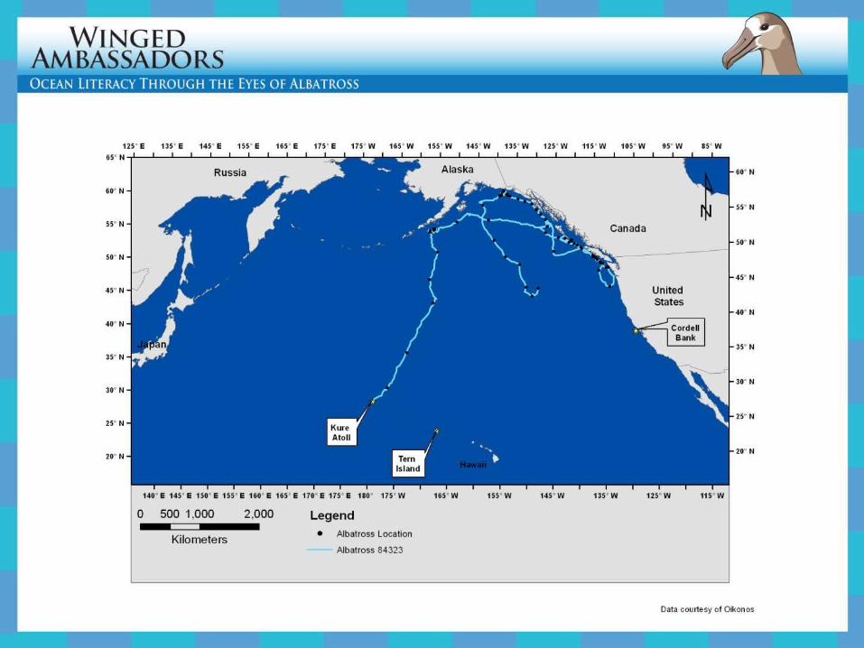
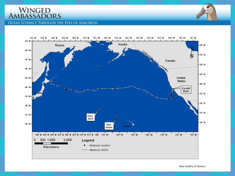
Tagging Site: Kure Atoll Seabird Sanctuary
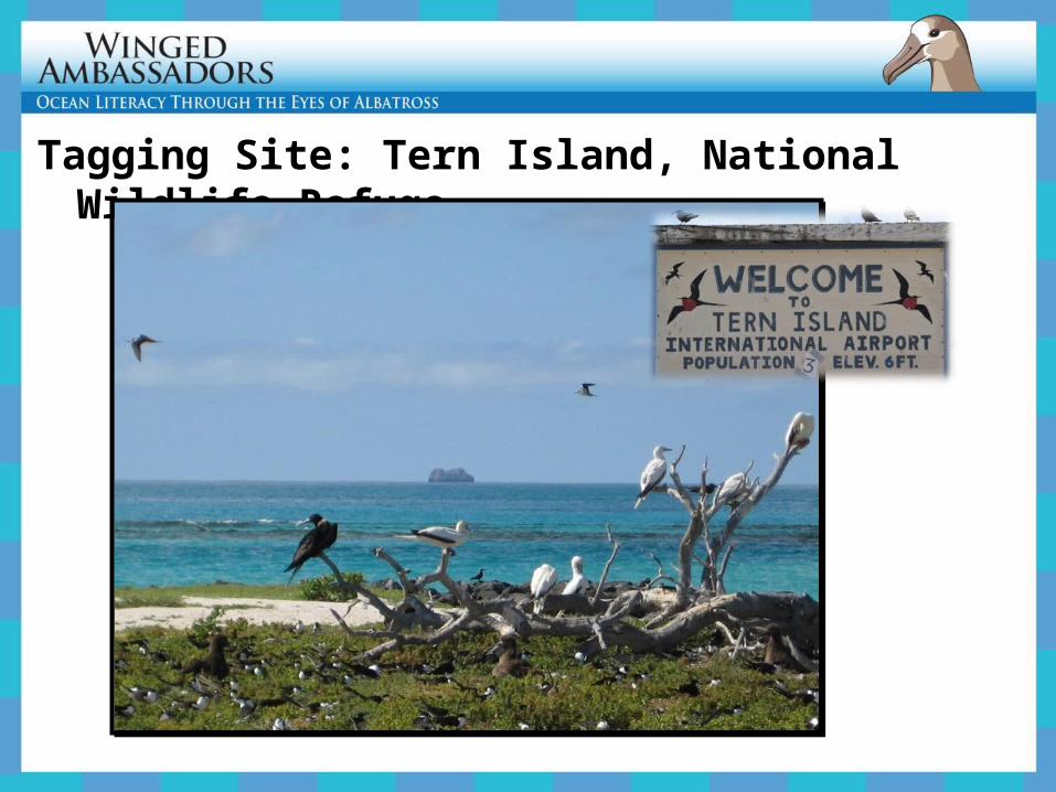
Tagging Site: Tern Island, National Wildlife Refuge
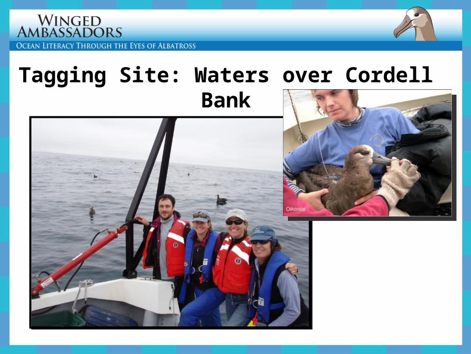
Tagging Site: Waters over Cordell Bank
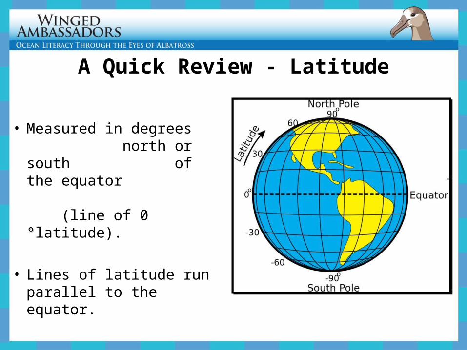
A Quick Review - Latitude
• Measured in degrees north or south of the equator (line of 0 °°latitude).
• Lines of latitude run parallel to the equator.
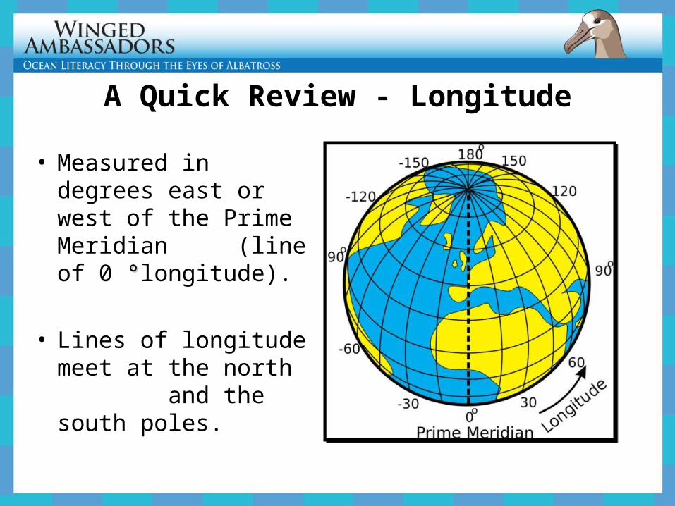
A Quick Review - Longitude
• Measured in degrees east or west of the Prime Meridian (line of 0 °°longitude).
• Lines of longitude meet at the north and the south poles.
ExplainAnalyzing Albatross Movements


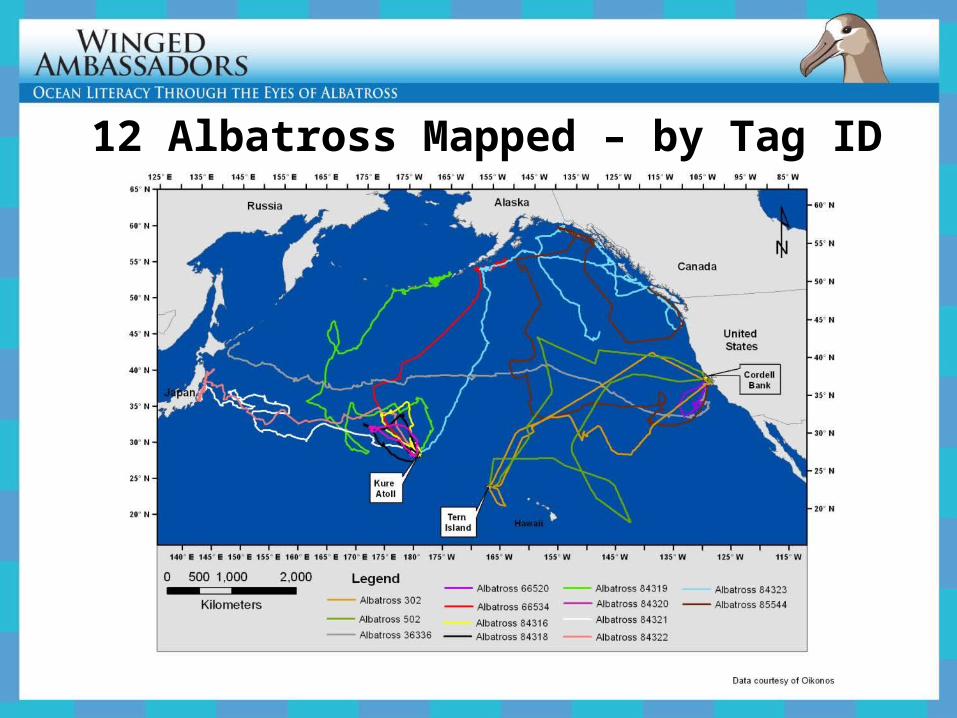
12 Albatross Mapped – by Tag ID
ElaborateSatellite Tracking
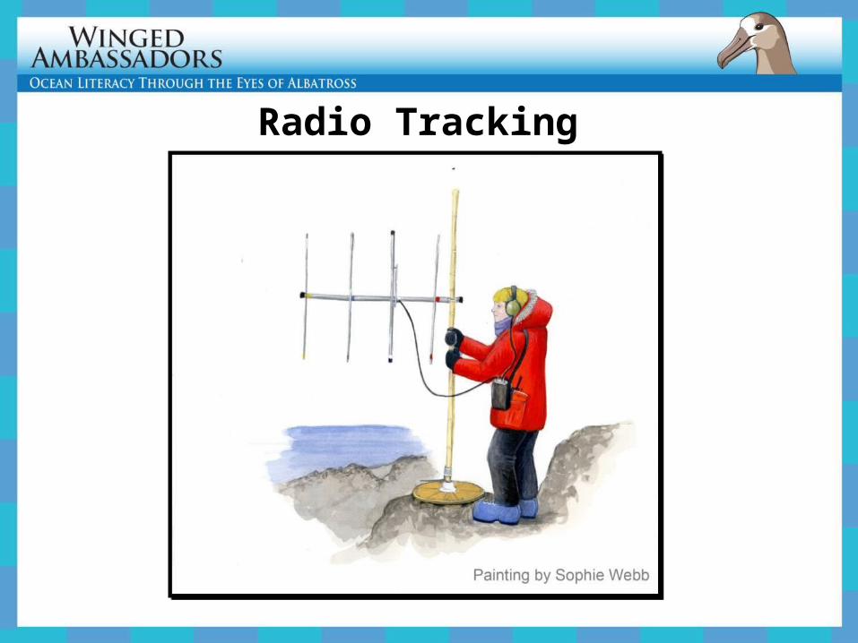
Radio Tracking
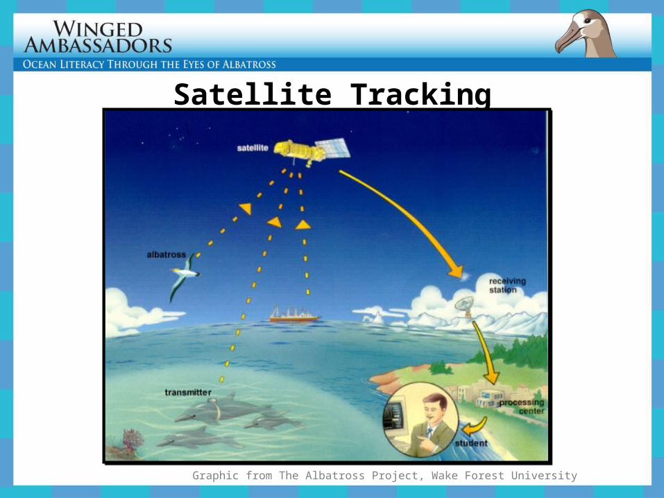
Satellite Tracking
Graphic from The Albatross Project, Wake Forest University
EvaluateOther Seabird Movements
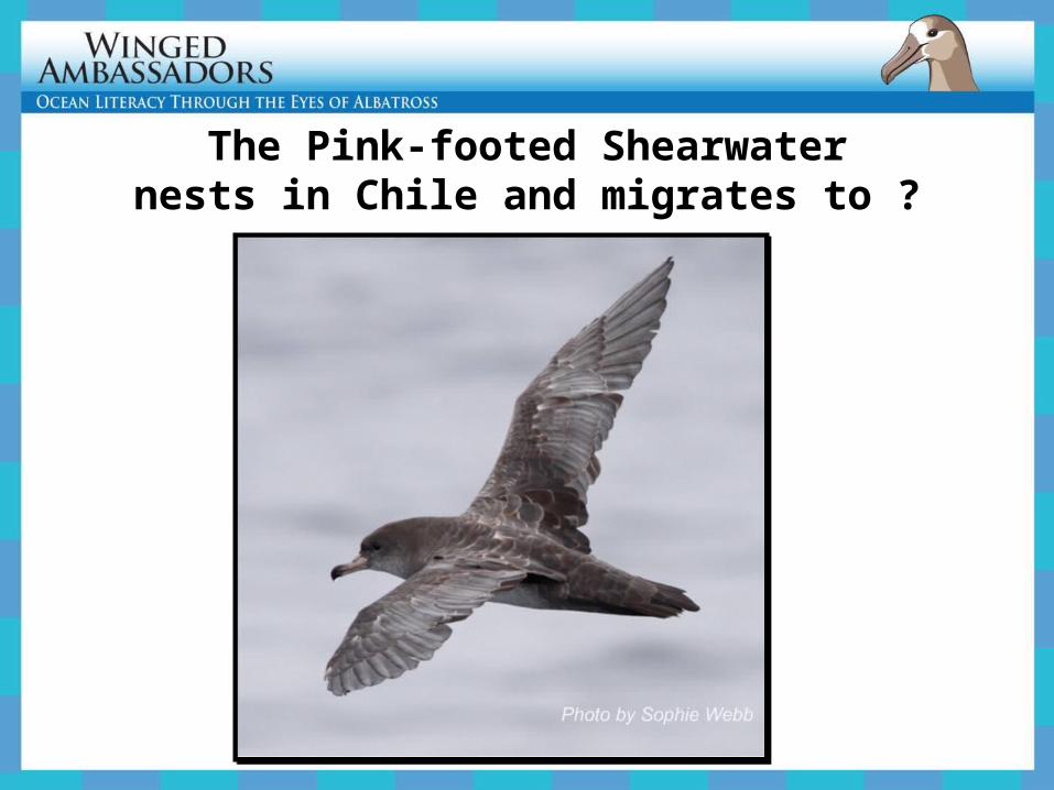
The Pink-footed Shearwaternests in Chile and migrates to ?
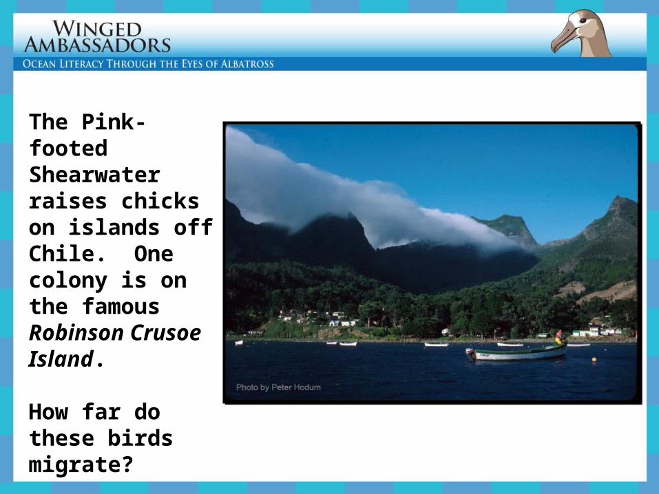
The Pink-footed Shearwater raises chicks on islands off Chile. One colony is on the famous Robinson Crusoe Island. How far do these birds migrate?
Use Agreement
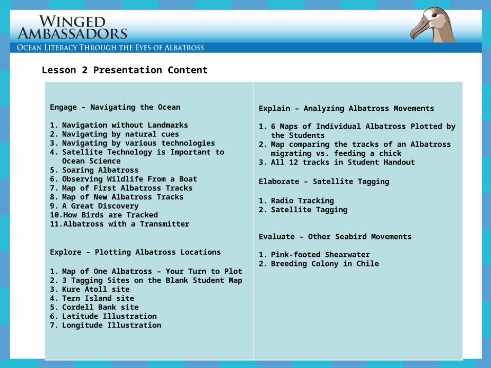
Engage – Navigating the Ocean
1. Navigation without Landmarks2. Navigating by natural cues3. Navigating by various technologies4. Satellite Technology is Important to Ocean Science5. Soaring Albatross6. Observing Wildlife From a Boat7. Map of First Albatross Tracks8. Map of New Albatross Tracks9. A Great Discovery10. How Birds are Tracked11. Albatross with a Transmitter
Explore – Plotting Albatross Locations
1. Map of One Albatross – Your Turn to Plot2. 3 Tagging Sites on the Blank Student Map3. Kure Atoll site4. Tern Island site5. Cordell Bank site6. Latitude Illustration7. Longitude Illustration
Explain – Analyzing Albatross Movements
1. 6 Maps of Individual Albatross Plotted by the Students
2. Map comparing the tracks of an Albatross migrating vs. feeding a chick
3. All 12 tracks in Student Handout
Elaborate – Satellite Tagging
1. Radio Tracking2. Satellite Tagging
Evaluate – Other Seabird Movements
1. Pink-footed Shearwater2. Breeding Colony in Chile
Lesson 2 Presentation Content


