Download - Hawaii's Coastal Use Mapping Project

Using Participatory Mapping to Inform Coral Reef Management
Arielle LevineRegional Social Scientist, contractor to NOAA PIRO Assistant Professor, San Diego State [email protected]
Emma AndersPlanner, Hawaii Division of Aquatic [email protected]
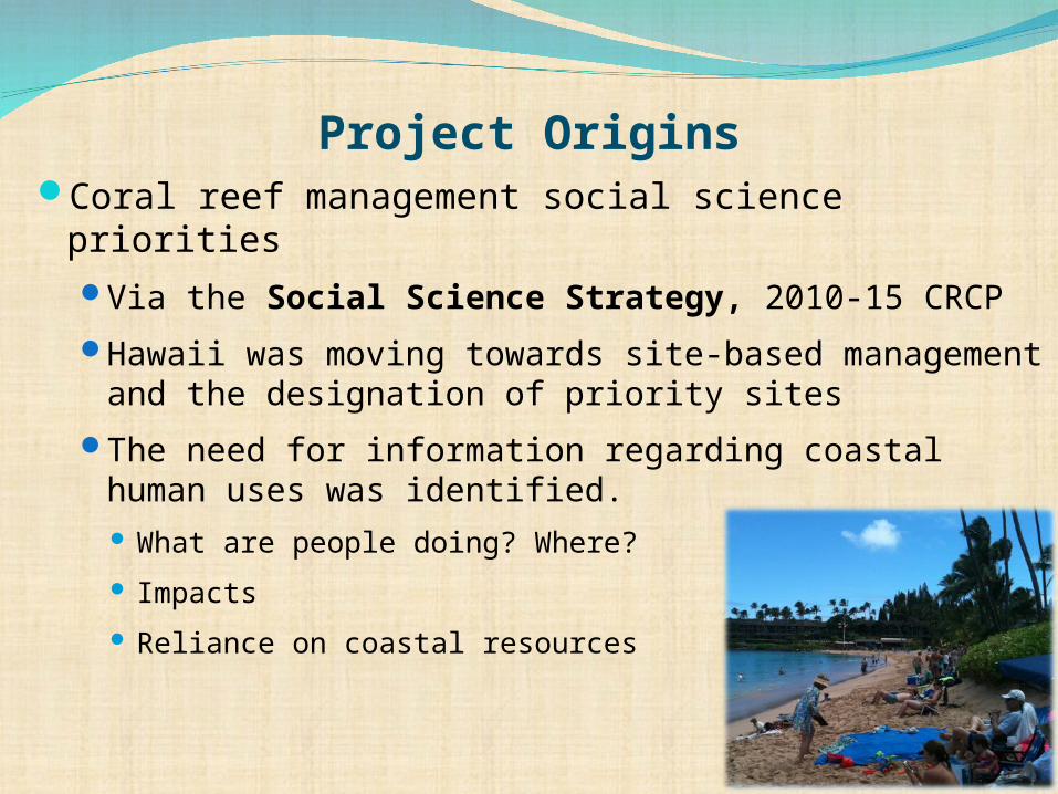
Coral reef management social science priorities
Via the Social Science Strategy, 2010-15 CRCP
Hawaii was moving towards site-based management and the designation of priority sites
The need for information regarding coastal human uses was identified. What are people doing? Where?
Impacts
Reliance on coastal resources
Project Origins
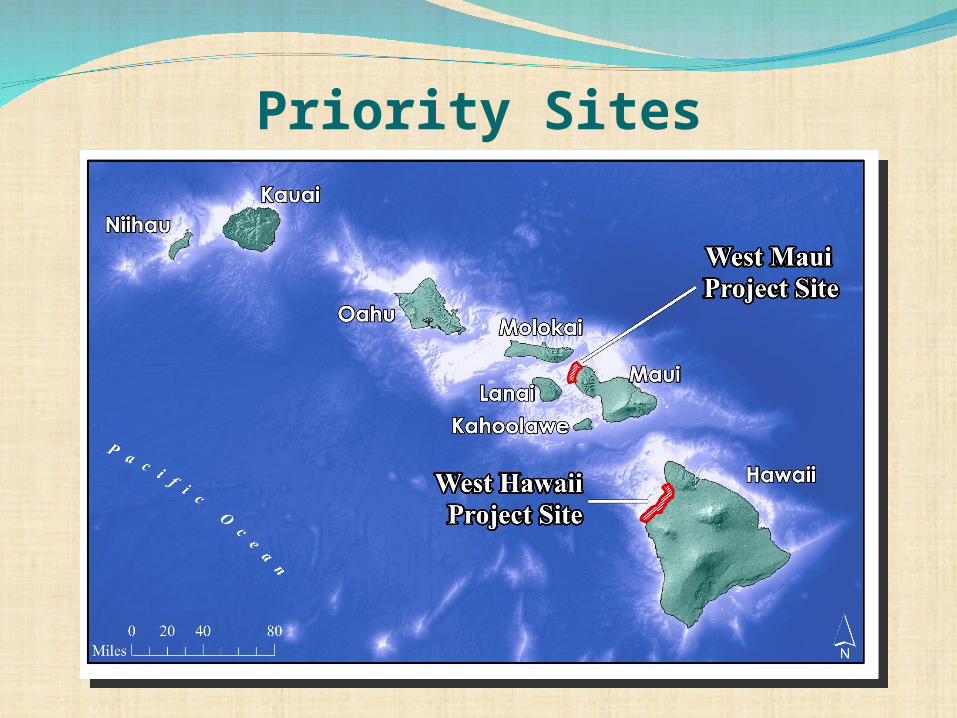
Priority Sites

Participatory Mapping“Gathering and mapping spatial information to help communities learn, discuss, build consensus, and make decisions about their communities and associated resources.”
• Pre-existing spatial information on human activities is limited
• Detailed knowledge lies with the resource users
• Local stakeholders create the data, and contribute to local engagement and acceptance of outcomes
Useful in a context where:
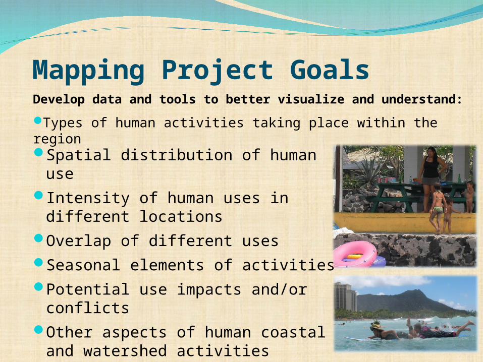
Mapping Project Goals
Spatial distribution of human use
Intensity of human uses in different locations
Overlap of different uses
Seasonal elements of activities
Potential use impacts and/or conflicts
Other aspects of human coastal and watershed activities
Develop data and tools to better visualize and understand:
Types of human activities taking place within the region

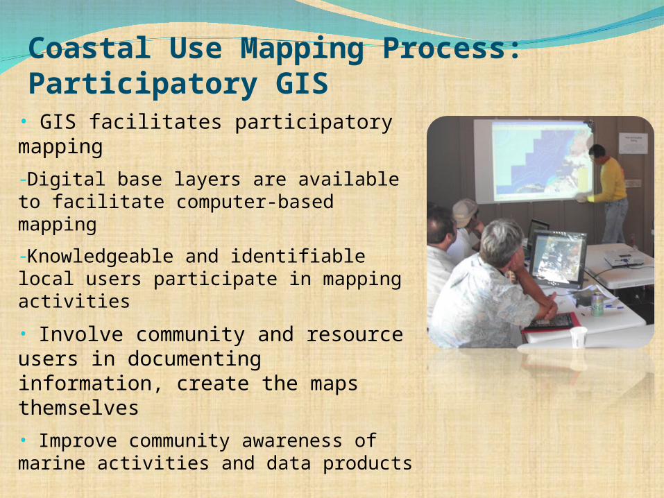
Coastal Use Mapping Process: Participatory GIS• GIS facilitates participatory mapping
-Digital base layers are available to facilitate computer-based mapping
-Knowledgeable and identifiable local users participate in mapping activities
• Involve community and resource users in documenting information, create the maps themselves
• Improve community awareness of marine activities and data products

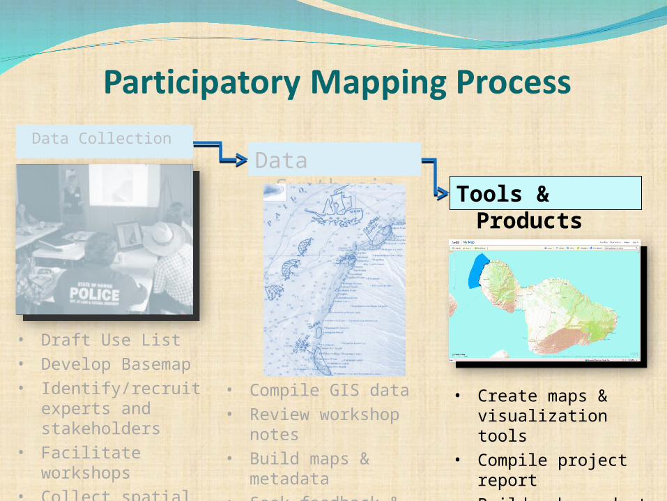
Data Synthesis Tools &
Products
Data Collection
• Draft Use List• Develop Basemap• Identify/recruit
experts and stakeholders
• Facilitate workshops
• Collect spatial data
• Compile GIS data• Review workshop
notes• Build maps &
metadata• Seek feedback &
revise
• Create maps & visualization tools
• Compile project report
• Build web products
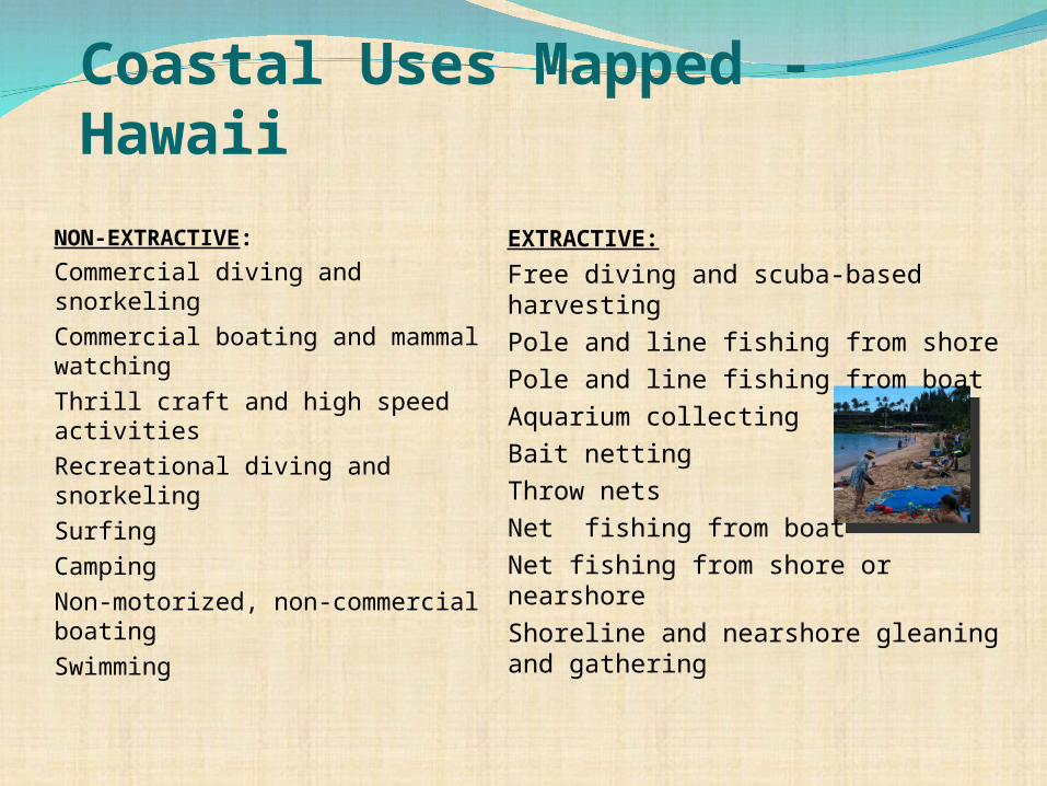
Coastal Uses Mapped - Hawaii
NON-EXTRACTIVE:
Commercial diving and snorkeling
Commercial boating and mammal watching
Thrill craft and high speed activities
Recreational diving and snorkeling
Surfing
Camping
Non-motorized, non-commercial boating
Swimming
EXTRACTIVE:
Free diving and scuba-based harvesting
Pole and line fishing from shore
Pole and line fishing from boat
Aquarium collecting
Bait netting
Throw nets
Net fishing from boat
Net fishing from shore or nearshore
Shoreline and nearshore gleaning and gathering

PGIS - Process and TechnologyS
cree
n
Participants
Facilitator
GIS Analysts

General Use Area :Areas where the use is known to occur with some regularity regardless of its frequency or intensity. Does not include areas where the use may occur once or twice or might occur in the future.
Dominant Use Areas: Areas routinely used by most users most of the time (within the seasonal use pattern for the activity). Dominant use areas must be drawn within the general use footprint.
Supplemental Use Information: Relevant spatial and non-spatial information about each use (seasonal patterns, events relating to the activity, day vs. night, etc.). Much of this information is shown in the map books.
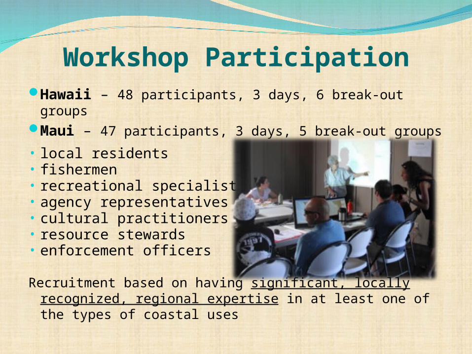
Workshop ParticipationHawaii – 48 participants, 3 days, 6 break-out groupsMaui – 47 participants, 3 days, 5 break-out groups
• local residents• fishermen• recreational specialists• agency representatives• cultural practitioners• resource stewards• enforcement officers
Recruitment based on having significant, locally recognized, regional expertise in at least one of the types of coastal uses

Tools & Products
• Draft Use List• Develop Basemap• Identify/recruit
experts and stakeholders
• Facilitate workshops
• Collect spatial data
• Compile GIS data• Review workshop
notes• Build maps &
metadata• Seek feedback &
revise
• Create maps & visualization tools
• Compile project report
• Build web products
Data CollectionData
Synthesis
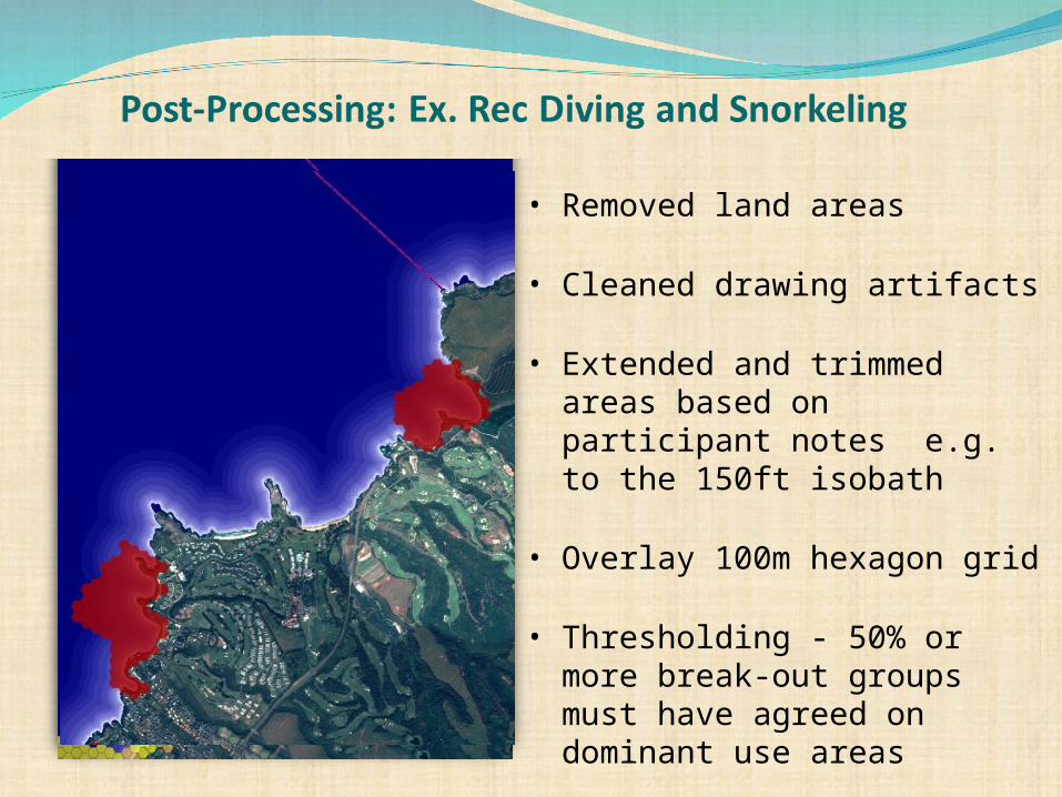
• Removed land areas
• Cleaned drawing artifacts
• Extended and trimmed areas based on participant notes e.g. to the 150ft isobath
• Overlay 100m hexagon grid
• Thresholding - 50% or more break-out groups must have agreed on dominant use areas
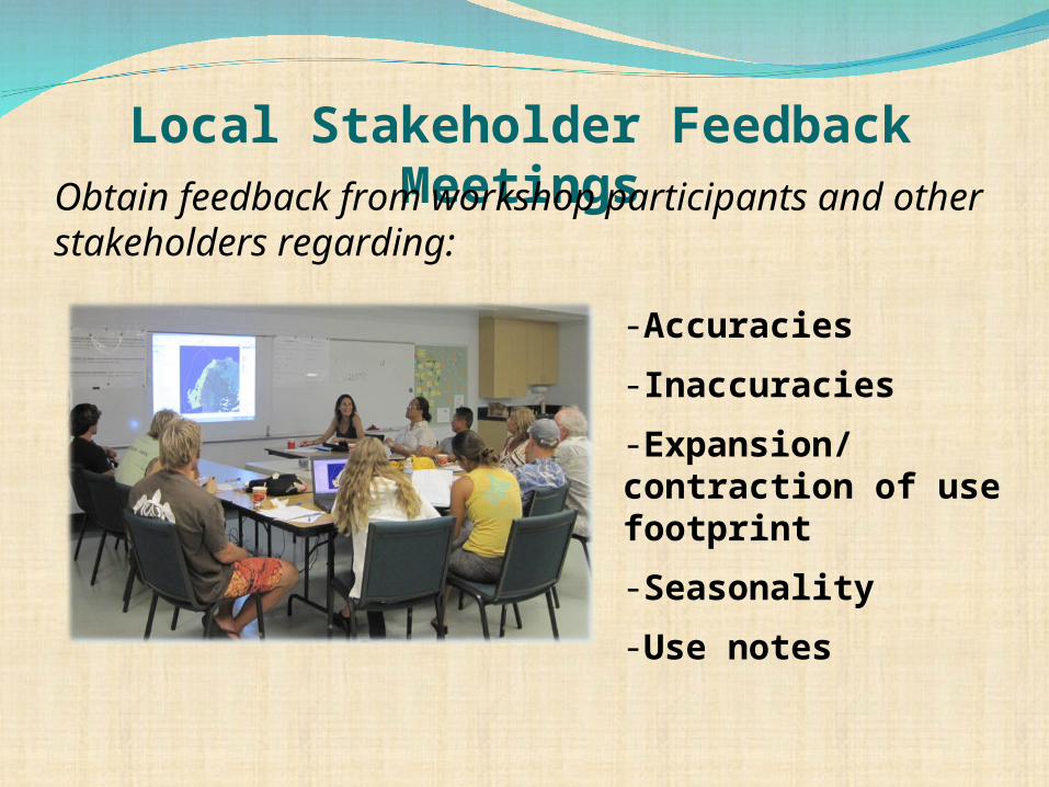
Local Stakeholder Feedback Meetings
-Accuracies
-Inaccuracies
-Expansion/contraction of use footprint
-Seasonality
-Use notes
Obtain feedback from workshop participants and other stakeholders regarding:
Data Synthesis Tools &
Products
• Draft Use List• Develop Basemap• Identify/recruit
experts and stakeholders
• Facilitate workshops
• Collect spatial data
• Compile GIS data• Review workshop
notes• Build maps &
metadata• Seek feedback &
revise
• Create maps & visualization tools
• Compile project report
• Build web products
Data Collection
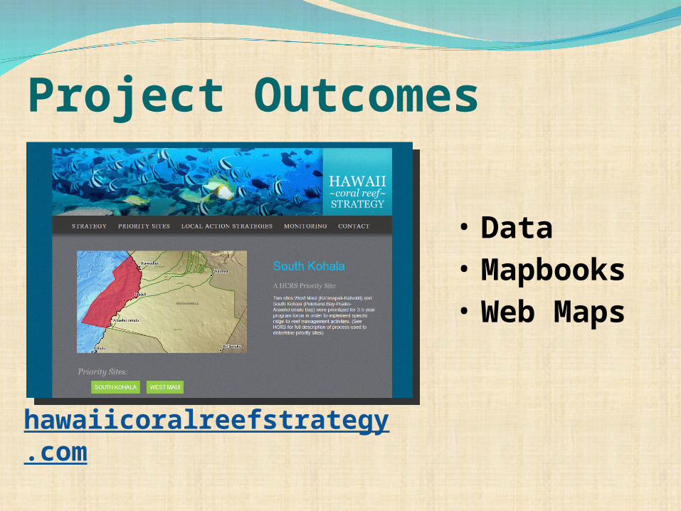
Project Outcomes
• Data• Mapbooks • Web Maps
hawaiicoralreefstrategy.com

How has this project informed coral reef management in Hawai’i?
Spatial data on human use patterns is available to resource managers to inform spatial planning in priority sitesNew, previously unavailable informationSome indirect use in priority site planning
(SKCAP, West Maui WMP)
Do we need to do spatial planning for these particular sites?Answer is probably not – this is
very important for us to knowLess conflict than we anticipated

STAKEHOLDER ENGAGEMENT = most useful outcomeManagement-neutral topic was a good entry point for
stakeholdersHands-on participatory research empowers the
stakeholdersFocus on people and place, not impacts
How has this project informed management?
Project Sponsors and CollaboratorsPrimary funding from:
NOAA Coral Reef Conservation Program (CRCP)HI Fisheries Local Action Strategy
NOAA Collaborators:Pacific Islands Regional OfficePacific Services CenterMPA CenterHollings Marine Lab
Local PartnersHawaii Division of Aquatic Resources (DAR)The Nature Conservancy


Thank you.
Questions?


