Download - Fit presentation


FIT GROUP Corporate presentation


FIT GROUP
700 employees worldwide

FIT group It’s;
23 offices all over the world
(France, Tunisia, Morocco, Lebanon, United States and Canada)

FIT Group It’s a ;A chartered Land Surveyor
TopographyCadastral registryLand developmentGovernance and Land management
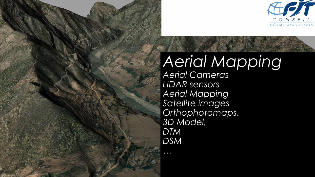
Aerial MappingAerial CamerasLIDAR sensorsAerial MappingSatellite imagesOrthophotomaps,3D Model,DTMDSM…

Our aircrafts
Britten Norman BN2T – Twin turbines
Engines
Partenavia P68
●

13 aircrafts availalble immediatly
1 Beechcraft 200
9 Cessna 208/402 B /206
1 Partenavia P68
1 Piper Aztec
Helicopter AS350 B1, B2, Bell 206
Quickly available Air Fleet

Mining Aerial surveyAnomalies monitoringCubature, stockpile volume CalculationRoad, Railway, dam DesignPower corridor studyPollution analysisImpact Historical


Satellite imagery programmation
and Library
• Digital Globe
• Rapid Eye
• Quickbird
• World view 1 – 2
• IKONOS
•

FIT GROUP It’s;
An IT developper and data integratorCouncil audit studiesSoftware development. Industrial ProductionAcquisition and processing of the dataTraining, assistanceSolutions deployment and integrated SIG


FIT Group It’s ;A Building and civil Enineering partnerMeasurement (BTP, industry, aménagement, networks),
3D (Industrial and terrestrial photogrammetry), Studies (network, transport, project management, Urban planning)


Contact details:1 Route de Gachet - CS 9071144307 NANTES CEDEX [email protected] : +33 (0)2.40.68.86.73Cell : +33 (0)6.79.77.11.27
We measure your space…


