Download - ArcGIS for Water Utilities - SCAUG

ArcGIS for Water Utilities Mark Robbins & Joe Morocco
SCAUG 2013 South Central Arc User Group Meeting
Agenda
• Modern Water Utility GIS
• ArcGIS for Water Utilities
• Demonstration
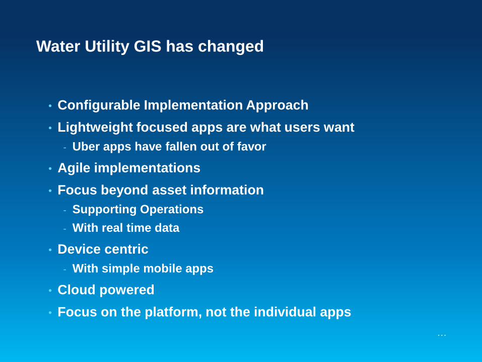
Water Utility GIS has changed
…
• Configurable Implementation Approach
• Lightweight focused apps are what users want
- Uber apps have fallen out of favor
• Agile implementations
• Focus beyond asset information
- Supporting Operations
- With real time data
• Device centric
- With simple mobile apps
• Cloud powered
• Focus on the platform, not the individual apps
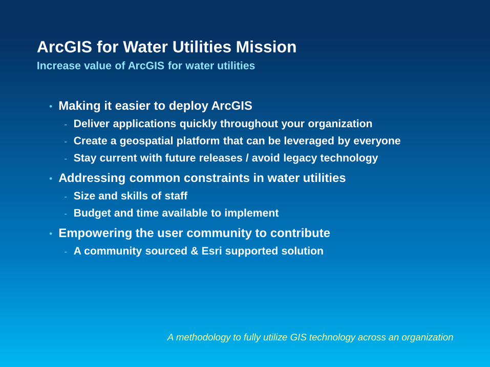
• Making it easier to deploy ArcGIS
- Deliver applications quickly throughout your organization
- Create a geospatial platform that can be leveraged by everyone
- Stay current with future releases / avoid legacy technology
• Addressing common constraints in water utilities
- Size and skills of staff
- Budget and time available to implement
• Empowering the user community to contribute
- A community sourced & Esri supported solution
ArcGIS for Water Utilities Mission Increase value of ArcGIS for water utilities
A methodology to fully utilize GIS technology across an organization
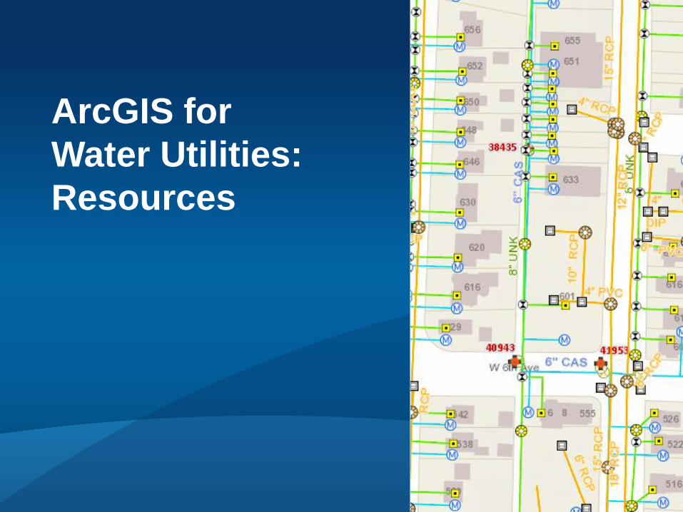
ArcGIS for
Water Utilities:
Resources

ArcGIS for Water Utilities Our configuration for water, wastewater & stormwater workflows
Based on best practices in Water, IT, and GIS
Web Maps
Capital Improvement
Planning Data Management
Information Model
Dashboards
ArcGIS Online
Organization
Configuration
• Free download
• Fully supported
• Maintained by Esri
• Open source on Github
Mobile Apps
ArcGIS for Local
Government Apps

The Information Model More than just a schema…
…The industry standard for deploying water, wastewater & stormwater GIS
• Schema
• Map documents
• Web map configurations
• ArcGIS Online organization subscription configuration
• Specification for services

• Information Model
• Editing Toolbar
• Data QA/QC
• Operational Awareness Dashboard
• Mobile
• Capital Planning Toolbar
• Constituent Engagement Apps
Current Solutions All are current on 10.1
Actively working on 10.2 release
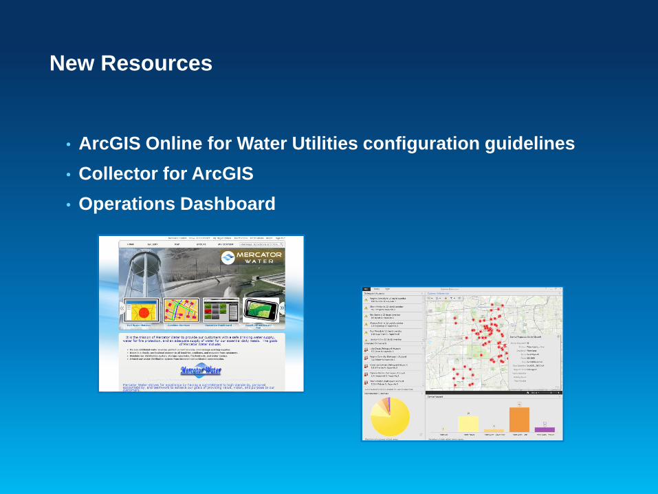
• ArcGIS Online for Water Utilities configuration guidelines
• Collector for ArcGIS
• Operations Dashboard
New Resources
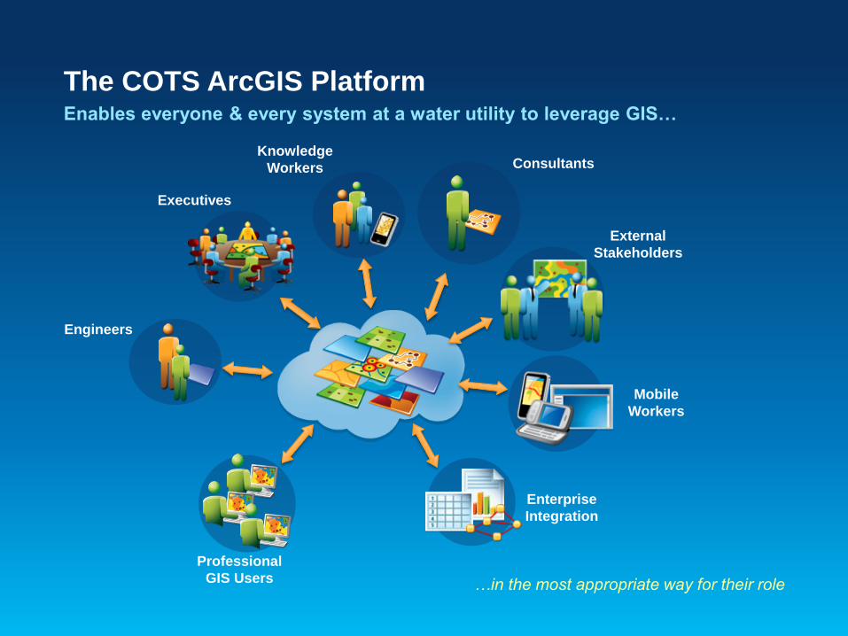
The COTS ArcGIS Platform Enables everyone & every system at a water utility to leverage GIS…
…in the most appropriate way for their role
External
Stakeholders
Executives
Knowledge
Workers
Enterprise
Integration
Consultants
Mobile
Workers
Professional
GIS Users
Engineers
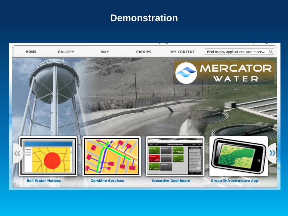
Demonstration
Information Product


