course lesson sunset crater national park. 1. general description o a 6th grade class studying...
TRANSCRIPT
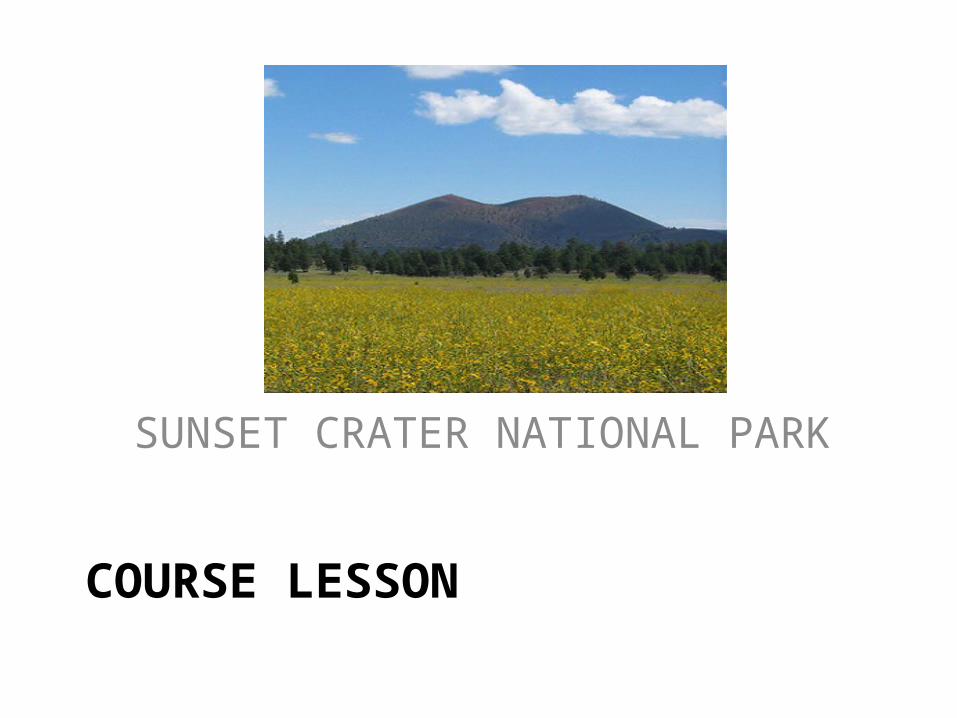
COURSE LESSON
SUNSET CRATER NATIONAL PARK
1. General Description
o A 6th grade class studying geology will learn several technology skills through a 4 week course. A field trip to Sunset Crater National Park in Northern Arizona will initiate our geology/tech skill study. Upon arrival,the class of 18 students will be broken up into 3 groups, with a parent chaperon for each group of 6 students. Each group will be responsible for 3 specific assignments.

Assignments
1) will involve a GPS device, a camera, and Google Earth. 2) will involve creating a topographical map with a compass. 3) will involve soil analysis through the use of a science kit.
*While one group is working on one assignment, another will be working on a different one, so all 3 groups will not be working on the same assignment at the same time.
*All data will later be recorded to a Blog, Wiki and a Spreadsheet for further projects.
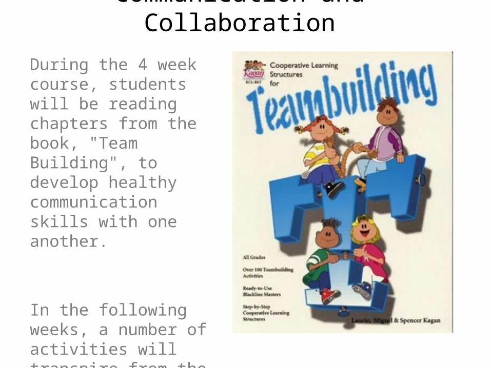
Communication and Collaboration
During the 4 week course, students will be reading chapters from the book, "Team Building", to develop healthy communication skills with one another.
In the following weeks, a number of activities will transpire from the activities and data collected during the field trip.

2. Instructional Course Goals
1. Students will learn how to operate a number of technology tools through a 4 week course which will be initiated by a trip to Sunset Crater National Park.
2. Tech tools students will be working with include computer based tools (such as Google earth, blogs, wikis) and hand tools (such as walkie-talkies, GPS devices, and science kits for analyzing soil samples).
3. Graphing skills will also be included in this project, as students are required to create a simplified topographical map of the field trip location.
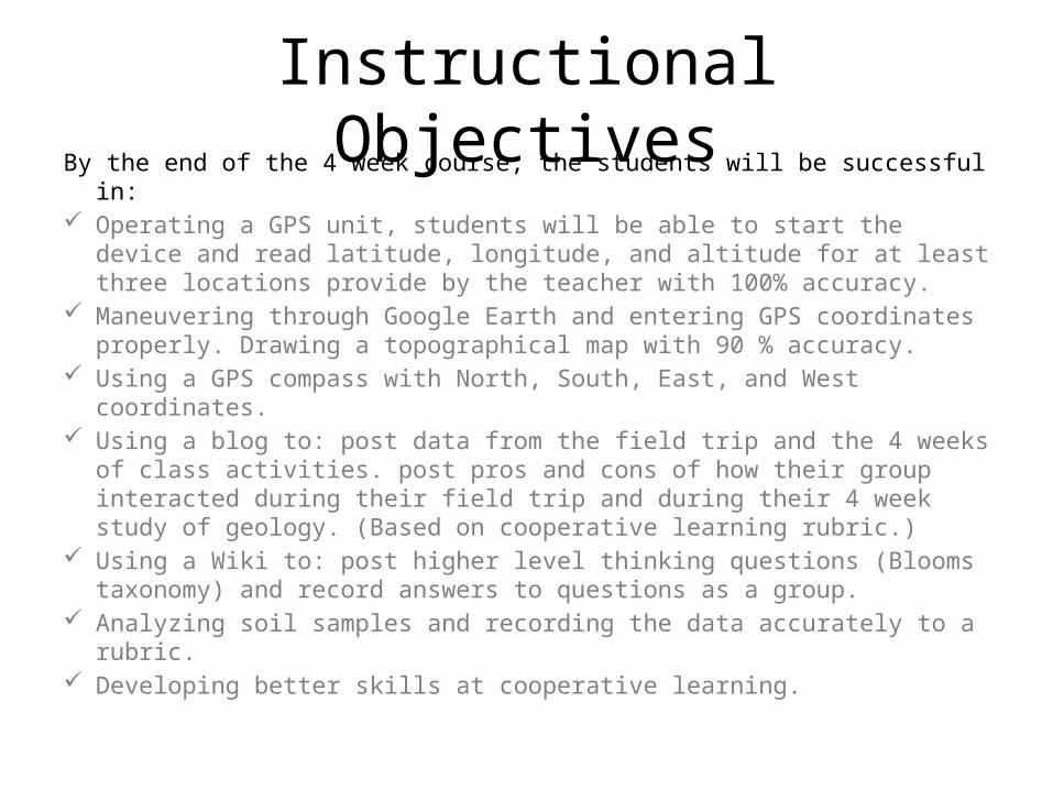
Instructional ObjectivesBy the end of the 4 week course, the students will be successful in: Operating a GPS unit, students will be able to start the device and read
latitude, longitude, and altitude for at least three locations provide by the teacher with 100% accuracy.
Maneuvering through Google Earth and entering GPS coordinates properly. Drawing a topographical map with 90 % accuracy.
Using a GPS compass with North, South, East, and West coordinates. Using a blog to: post data from the field trip and the 4 weeks of class
activities. post pros and cons of how their group interacted during their field trip and during their 4 week study of geology. (Based on cooperative learning rubric.)
Using a Wiki to: post higher level thinking questions (Blooms taxonomy) and record answers to questions as a group.
Analyzing soil samples and recording the data accurately to a rubric. Developing better skills at cooperative learning.

3. Content Creation Toolsa) Students record latitude and longitude coordinates on a blog by using either Google Earth http
://earth.google.com/Google Mapshttp://maps.google.com/or Mapmaker http://mapmaker.donkeymagic.co.uk/. These tools help students understand that their is a mathematical number assigned to each location on earth.
b) Students insert photos from the field trip into Google Earth, giving them a sense of contribution and at the same time, teaching them to value the contributions of others.
c) Wikis http://c2.com/cgi/wiki?StartingPointswill be used for groups to upload their data for future study and sharing. Working with wiki's develops cooperative learning skills with members in their groups, revealing strengths and weakness in collaboration.
d) Blogs http://www.blogger.com/home,unlike websites, are not static. Students post their information and reflect on what fellow students write as a response to their work.
e) Photoshop http://www.photoshop.com/is a great tool for enhancing pictures, and making a student's text more interesting, when a picture is placed in their blog or wiki. Polished and edited photos make a text appear "first class", compared to ordinary pictures which may take away from a presentation.
f) Photostory http://www.microsoft.com/windowsxp/using/digitalphotography/photostory/default.mspxis a way of taking a students research story and putting it easily in a musical and educational format, one that may be more interesting than plain text.
*Each tool adds a depth to the subject matter being studied, and makes the course more enjoyable and memorable.
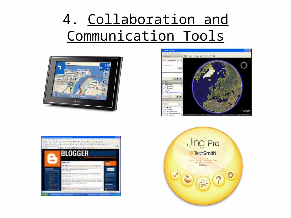
4. Collaboration and Communication Tools

Book
“Cooperative Learning Structures for Team Building” by: Laurie, Miguel, and Spencer
Kagan
Rock and Mineral Test Kithttp://sciencekit.com/ig0023183/p/IG0023183/

5. Course Sequence and Assessments
Scope of Lesson: The course will cover contents of one text book (“Team Building” by Kagan). Evaluations will be based on 1 cooperative learning rubric (below), in conjunction with blog and wiki entries and a formative and summative assessment (below).

Course Sequence
Week 1: Students visit site, utilize GPS data and Google Earth and create Wiki.
Week 2: Groups collaborate to create tests for each group based on Bloom Taxonomy.
Week 3: Each Group will create Photostory utilizing Jing.
Week 4: Each student will create a blog post of content learned during the course of the assignment. Each student in their group will have to comment on each members' blog post.

Course Assessments
• Survey/Questionnaire: Given the first day of the course to evaluate what students know about geology, basic tech tools, cooperative learning, as well as motivations about learning the topic about Sunset Crater National Park.
• Formative Test: Given during the 2nd week of the course to identify gaps or problems that may have developed in any of the areas. The test also examines the knowledge the students should be aware of a this point.

Pre-Test/Survey1. Does any aspect of geology interest
you?...volcanoes, earthquakes, rock formations (ex- grand canyon), tree ring studies, tsunamis, composition of rocks or soils? __________________________________________________________________________
2. Do you know what a GPS devise is? (Y) (N)3. Have you ever drawn a map using north,
south, east, west coordinates? (Y) (N)4. Have you worked with blogs and/or wikis? (Y)
(N)5. Do you like working with science kits? (Y) (N)6. Do you like field trips? (Y) (N)
Given the first day of the course to evaluate what students know about geology, basic tech tools, cooperative learning, as well as motivations about learning the topic about Sunset Crater National Park.

Formative Test
MATCH THE GPS COORDINATE WITH THE CORRECT PHOTO:
(N30 17.477 W97 44.135)
(N26 44.354 W83 43.678)
(N10 23.536 W89 98.975)
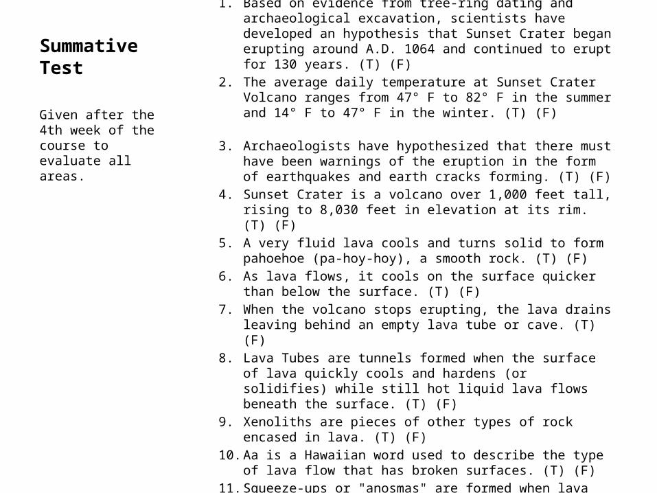
Summative TestTRUE OF FALSE1. Based on evidence from tree-ring dating and archaeological excavation,
scientists have developed an hypothesis that Sunset Crater began erupting around A.D. 1064 and continued to erupt for 130 years. (T) (F)
2. The average daily temperature at Sunset Crater Volcano ranges from 47° F to 82° F in the summer and 14° F to 47° F in the winter. (T) (F)
3. Archaeologists have hypothesized that there must have been warnings of the eruption in the form of earthquakes and earth cracks forming. (T) (F)
4. Sunset Crater is a volcano over 1,000 feet tall, rising to 8,030 feet in elevation at its rim. (T) (F)
5. A very fluid lava cools and turns solid to form pahoehoe (pa-hoy-hoy), a smooth rock. (T) (F)
6. As lava flows, it cools on the surface quicker than below the surface. (T) (F)
7. When the volcano stops erupting, the lava drains leaving behind an empty lava tube or cave. (T) (F)
8. Lava Tubes are tunnels formed when the surface of lava quickly cools and hardens (or solidifies) while still hot liquid lava flows beneath the surface. (T) (F)
9. Xenoliths are pieces of other types of rock encased in lava. (T) (F)10. Aa is a Hawaiian word used to describe the type of lava flow that has
broken surfaces. (T) (F)11. Squeeze-ups or "anosmas" are formed when lava flows or is pushed up
through a crack in a section of already hardened lava. (T) (F)
Given after the 4th week of the course to evaluate all areas.

Summative Test SHORT ANSWER1. Sunset Crater erupted in ____________A.D and scattered the Native
Americans into different Arizona regions.2. The eruption of Sunset Crater is similar to another volcanic explosion in
Italy which buried the towns of __________________and _____________________.
3. When placed in water, __________________will float.4. Name two minerals the Sunset Crater eruption deposited in the
surrounding area:______________________and ________________________.
5. Which Native American tribe benefited the most from the eruption? __________________.
6. Which Native American tribe benefited the least from the eruption?__________________.
7. The town of _________________ is south of Sunset Crater. The town of Paige, Arizona is ______________ of Sunset Crater (N,S,E,W). The Grand Canyon is ____________________of Sunset Crater (N,S,E,W).
8. During the soil sample analysis, which element was the most abundant ? _______________.
9. Which GPS coordinate was the most interesting and why ? ______________________________________________________.
10. GPS coordinates contain longitude and ________________.11. A topographical map shows different _________________on a map.
Given after the 4th week of the course to evaluate all areas.
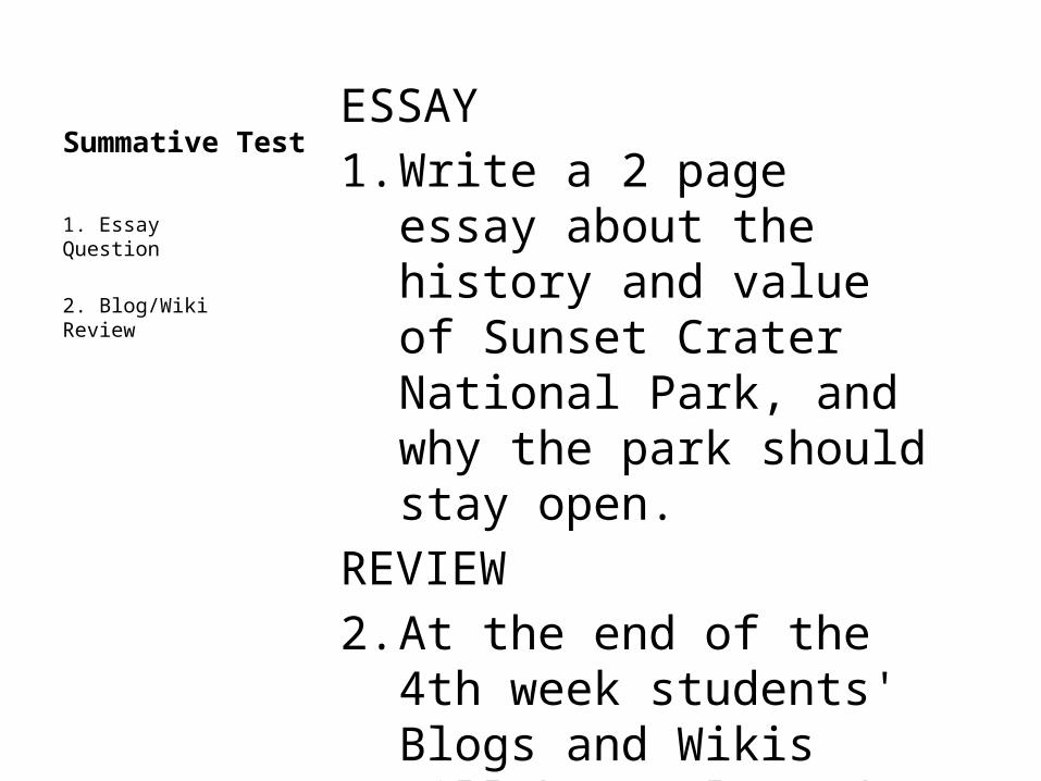
Summative TestESSAY1. Write a 2 page essay about
the history and value of Sunset Crater National Park, and why the park should stay open.
REVIEW2. At the end of the 4th week
students' Blogs and Wikis will be evaluated.
1. Essay Question
2. Blog/Wiki Review

1. Gaining the learner's attentionThe teacher will introduce the lesson by briefly sharing about the eruption of Sunset Crater in approximately. 1000 AD. A brief PowerPoint presentation with pictures of Sunset National Park will be showed to motivate the students for the field trip and the course. A film on volcanic eruptions will also be shown to make the course "come to life". The teacher will also share and have students view the following links :http://en.wikipedia.org/wiki/Sunset_Craterhttp://education.usgs.gov/schoolyard/index.htmlhttp://www.go-arizona.com/Sunset-Crater-Volcano-National-Monument/
6. Instructional Plan and Strategies for reaching the needs of a diverse classroom
This instructional unit will model Gagne’s Nine Events of Instruction

2. Informing learner of objectivesDuring the initial field trip, the students will complete 3 assignments, rotating to the next assignment after completing the previous
3. Stimulating recall of prerequisitesFormative/Summative Tests
4. Presenting stimuliPower point presentation filmsStudents sharing: rock photos, GPS coordinates, topographical maps, soil sampleGraphs through blogs and wikis

5. Providing guidanceTeacher reviews blog and wiki entries and makes comments. Teacher observes cooperative groups and comments on their collaborative skills.
6. Eliciting performanceTeacher makes students aware that they are being monitored in their collaborative learning skills during the 4 week course. Teacher reminds students that their blog and wiki entries will be checked weekly.
7. Performing feedbackEach week, the teacher will provide feedback on how each group is doing. This will involve praise of work well done, as well as sharing instruction on area's that need attention or improvement.
8. Assessing performance
Formative and Summative Assessments will be given during the 4 week course.
9. Enhancing retention and transferStudents will be reminded that future courses will involve:
•Blog and Wiki entries•Collaborative Learning•SkillsGraph Skills

SPECIAL NEEDS STUDENTS
1. Zeke has been officially diagnosed with ADHD; he takes a medication to control his symptoms. However, by the afternoon, the medication’s effects are wearing off.Students with ADHD will be placed in the first group and begin with the most difficult tasks.
2. Aaron has a severe stutter. Although his regular sessions with a speech therapist have helped reduce the severity of his stutter, his stutter becomes more pronounced when he gets nervous.Students with speech impediments will be chaperoned and paired with a classmate capable of working with the speech pathology.
3. Bernadette is a student in your sixth period class who has been deaf since birth. She communicates using American Sign Language, and can also read lips. She has an ASL interpreter who accompanies her to all her classes. Students with hearing impairments will be provided an American Sign Language interpreter.

Instructor Tasks and Objectives
• Instructor reviews maneuvering in Google Earth and how to enter a GPS location.
• Instructor hands out "Team Building" textbook and emphasizes cooperative learning techniques during 4 week course.
• Instructor demonstrates the use of using the science kit which analyzes soil samples with magnets, water, and chemical interactions.
• Instructor organizes chaperons for field trip and secures 1 GPS device. (Optional : 6 walkie-talkies if finances permit).
• Instructor breaks class up into 3 groups (6 students in each group).
• Instructor reviews key board skills and maneuvering techniques through Blogs and Wikis.
7. Course Assignments(including learning objectives, instructor tasks, student tasks, tools, strategies, and assessment.)

Student Tasks and Objectives
Group 1 : Students look for rocks or formations that they find interesting. When a rock or formation is chosen, the parent helps the student with a GPS to tag the location. A picture is also taken with the parent’s cell phone camera to link it to the location. The coordinates and picture will then later be uploaded to Google earth. 6 rocks or formations need to be documented for each group. (Optional: If finances permit, each student in the group will carry a walkie-talkie and radio back to the chaperon when they find the rock or formation they want to tag).
Group 2: Students walk through the park and observe the different locations and elevations. After observing the area, each student must sit down and draw out a "rough sketch" of a topographical map. This map would show a "bird's eye view" of the elevations that would be represented while the students are observing the location from a horizontal view. The different elevations will be marked with different colors, and each map must contain a N, S, E, W compass. Students will also create a legend map in the corner which will have a tag of where their special rocks or formations were discovered.
Group 3: Students will bring a kit which has a magnet, water, and magnifying glass. Students will take a 1 cup sample of the soil and use a magnet to detect iron. The iron contracted will then be weighed on a scale and recorded. They will also have a container of water where they will pour the soil sample into the container of water to see if any pumice floats to the top. The pumice that floats to the top will be skimmed off and then observed under a magnifying glass. Students will then draw a sketch of what the pumice looks like under a magnifying glass. Other information about the soil will be collected and documented in a table chart. (We may do some more sophisticated tests here).
The class will be broken up into the original 3 groups (6 students in each group) and complete tasks.
Upon returning to class, the students will enter their GPS data into Google earth and post their other information in a wiki during week 1.

2nd week: Each group will collaborate on designing a test for one of the other groups in the class from the information on their wiki. The test will involve 5 - T/F questions, 5 multiple choice questions, and 6 questions which correspond to each of Bloom's taxonomy higher level thinking questions. During this second week, the instructor will review Bloom's taxonomy, and allow time for each group to read the information posted on another groups wiki. For example: group 1 will create a test for group 2, and group 2 will have sufficient time to read and study group 1's wiki (so they can pass group 1's test).
3rd week:Each group will collaborate together to create a Photostory (utilizing Jing) from the data and pictures stored in their Wiki. ThePhotostorieswill then be shared with the rest of the class when they are completed. Each Photostory must contain pictures from Google earth which are captured with Jing. The teacher during the 3rd week will review the components of Jing and Photostory.
4th week: Students will use Google and Google images to create a 2 - 3 page essay on the history of Sunset Crater. The essay will be posted to a blog and a member from each of the other groups must write a response to the essay. At the end of the week, the class will discuss the combined data about the history of Sunset Crater.

8. Description of Course Assessments(based on Bloom's Taxonomy)
Wiki Creation (affective domain): Each student will ask another member in the group to recall information about specific details in assignment 1, 2, and 3 of the field trip. (The information will be posted to a class Wiki, where each student’s name will appear in a Wiki Tab).
• What was easy or difficult in using the GPS device and Google Earth?• How high and how low was the terrain?• What was the percentage of soils in your experiment - pumice? iron?• Post GPS coordinates and photos into Google Earth.• Locate other volcanoes on Google Earth and "pin" them for future
discussion.
Letter to Representative: Write the legislature and share their individual National Park experience and why they feel National Parks are an important part of our National landscape.

GPS Knowledge(psycho-motor domain)
1. What are the coordinates of your 3 GPS entries?2. What was the most difficult thing about drawing a
topographical map?3. What types of soil or minerals did you find when using the kit?4. What are the GPS coordinates of where the different tribes
relocated after the eruption?5. What is the GPS location of the most fertile area, in the Sunset
Crater territory by analyzing your findings?
Matching:Students will also recall the GPS locations with a matching test to recall GPS coordinates with photos.

Question and Answer(cognitive domain)
(remembering) Which GPS location entered on the Wiki from all the students contained the most: pumice, iron, clay?
(understanding) Do the soil samples you retrieved at the field trip have the same soil and mineral composition from 1000 A.D.? Explain why or why not.
(analyzing) Was there a particular Native American tribe that succeed over another one, due to the eruption?
(analyzing) Did the eruption help with agriculture, hunting, war and peace tactics, resources, time occupying a specific area?

Short Essay(cognitive domain)
(evaluating) How do we compare this volcanic eruption to other eruptions from the past (Pompeii, Herculaneum, Mt. St Helen's)?
(applying) What can the Native Americans of 1000 A.D. teach us today if we experienced another volcanic explosion?
(understanding) After the 1000 A.D. eruption, new soils and minerals were deposited on the ground. What were the new soils and minerals, and which one helped with crop and agriculture the most?
(evaluating) Which topographical map (which was scanned and entered on wiki) is the most accurate? Least accurate? Most informative? Most beautiful? Most helpful?
Interview:(understanding): Students will ask a student in their group to reword and expand their answers from above, to show the depth of their topic.

Creating and Applying(creating and applying)
Each student will create a 10 question, True-False test for the other 5 students in their group. Questions will cover general knowledge learned from the field trip and the 4 weeks of activities and discussions. Tests questions will be posted on the class Wiki in a “test” forum
Creating and Applying: • Students create a photo story or a power point presentation with the data
they collected over the 4 week course and share it with the class. • Students will gather all the GPS coordinates from the entire class and create a
3 foot by 3 foot wall map for the class to see. A representative from each group will get up and share information about their coordinates.
• Students will view all the topographical maps which were scanned and entered into the wiki, and create a class topographical map, implementing the best qualities from all the maps. This will be a 3 foot by 3 foot wall map as well.
• Students will create a class graph which will reveal the soil composition for all the soil samples taken by the students on the field trip.

*Students need to keep in mind that during all their activities, they are being evaluated by one another in regards to cooperative learning skills and the cooperative learning rubric.
Assessments will be based on Arizona State Science Standards for Grade 6, as well as the technology standards (NETS) for the 6th grade level.http://www.ade.state.az.us/standards/science/articulated.asphttps://www.azed.gov/standards/technology/Articulated_Grade_Level/
Additional information and Teacher resources about Sunset Crater Volcano can be found at: http://www.nps.gov/sucr/forteachers/curriculummaterials.htm