considerations for the use of real-time measurement ... · real-time measurement technologies for...
TRANSCRIPT
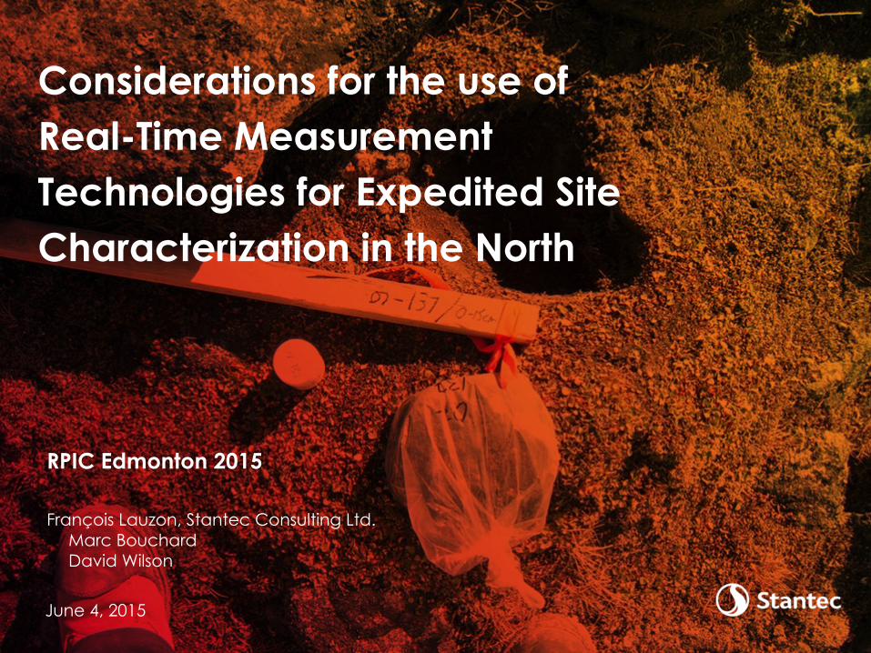
RPIC Edmonton 2015
François Lauzon, Stantec Consulting Ltd. Marc Bouchard David Wilson
Considerations for the use of Real-Time Measurement Technologies for Expedited Site Characterization in the North
June 4, 2015

Agenda
1 Alternative Approaches to Conventional Sampling
2 Data Quality, Statistics, and Uncertainty
3 Field Technologies – Uses, Benefits, Constraints
4 Case Studies
5 Conclusion
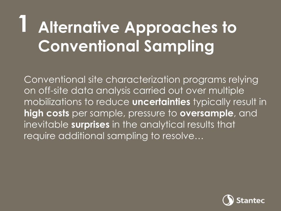
Alternative Approaches to Conventional Sampling
Conventional site characterization programs relying on off-site data analysis carried out over multiple mobilizations to reduce uncertainties typically result in high costs per sample, pressure to oversample, and inevitable surprises in the analytical results that require additional sampling to resolve…
1

Some Alternative Approaches
4
USEPA Data Quality Objectives Process (DQOP)
Data collection and quantitative analysis addressing only the appropriate problem
ASTM Expedited Site Characterization (ESC)
Flexibility of judgment-based decisions with on-site analysis and integration and validation of data as it is obtained
Streamlined Approach for Environmental Restoration (SAFER)
Management of uncertainty and planning decision making while relying on a learn-as-you-go concept
Adaptive Sampling and Analysis Process (ASAP)
Nature, extent, and level of contamination using on-site decision-making and complementing chemical analytical methods
USEPA Triad Management of decision uncertainty by relying on systematic planning, dynamic work strategies, and real-time measurement technologies
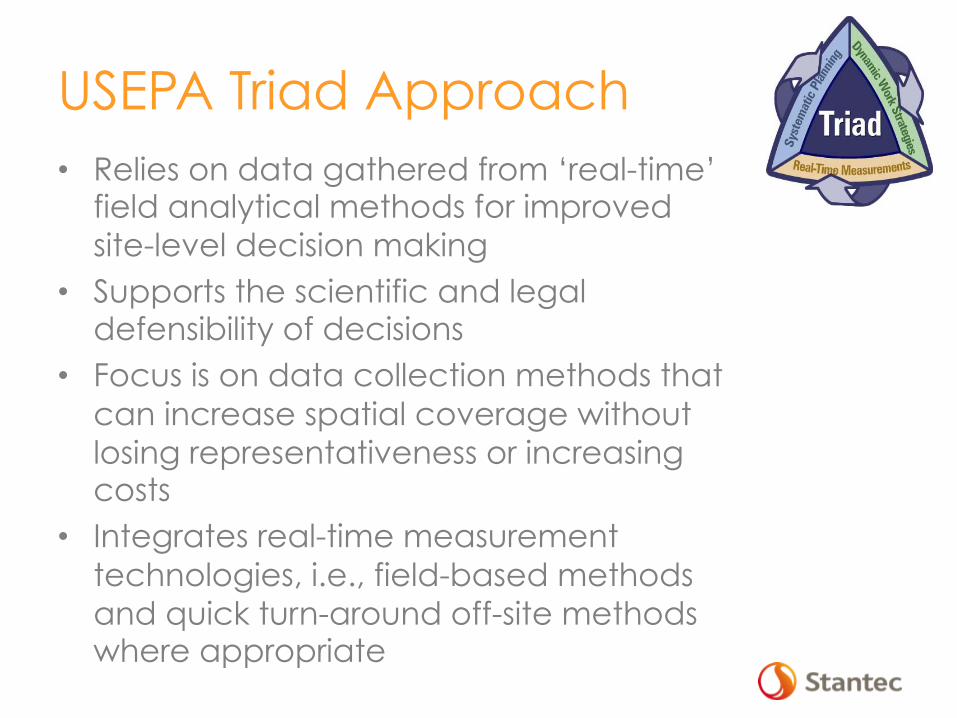
USEPA Triad Approach • Relies on data gathered from ‘real-time’
field analytical methods for improved site-level decision making
• Supports the scientific and legal defensibility of decisions
• Focus is on data collection methods that can increase spatial coverage without losing representativeness or increasing costs
• Integrates real-time measurement technologies, i.e., field-based methods and quick turn-around off-site methods where appropriate
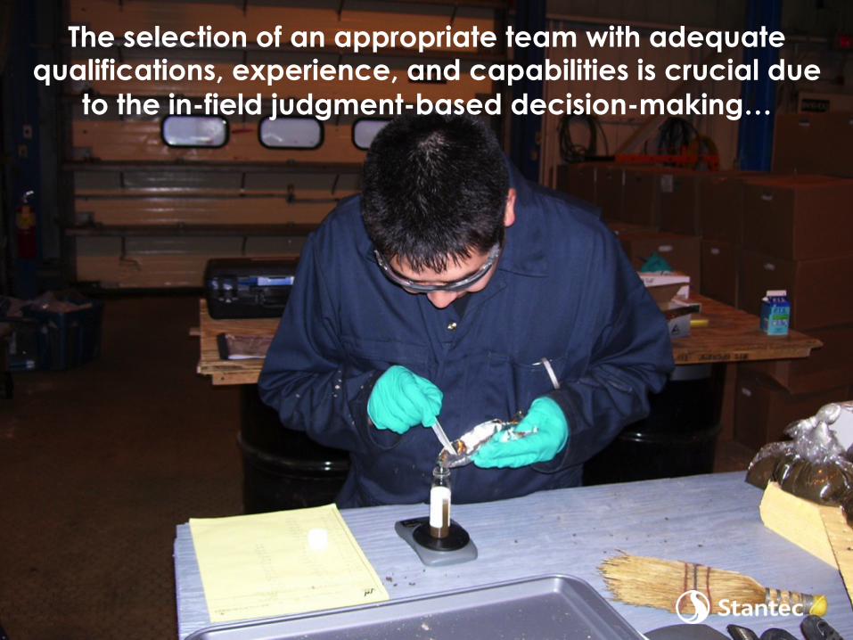
The selection of an appropriate team with adequate qualifications, experience, and capabilities is crucial due
to the in-field judgment-based decision-making…
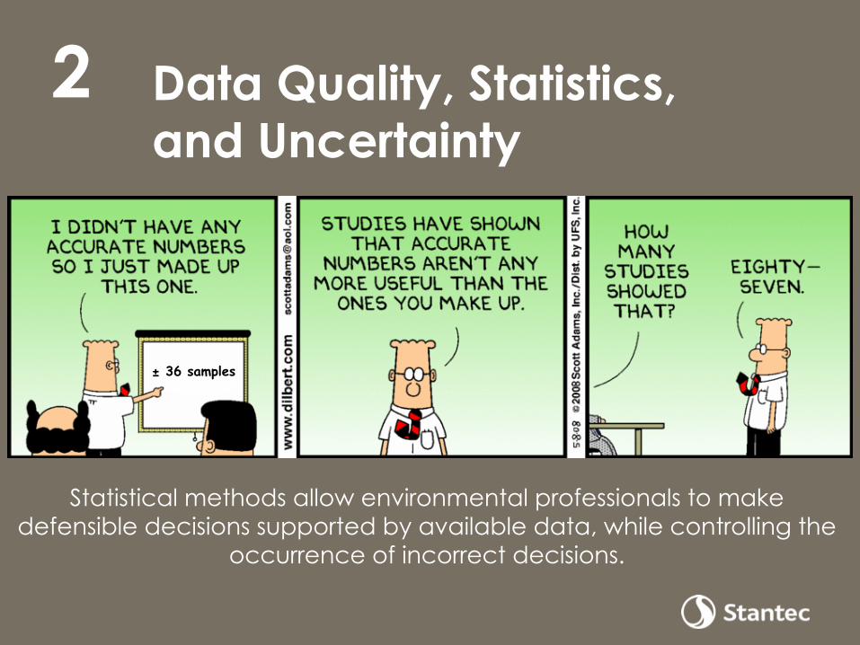
Data Quality, Statistics, and Uncertainty
2
± 36 samples
Statistical methods allow environmental professionals to make defensible decisions supported by available data, while controlling the
occurrence of incorrect decisions.

Essential Statistics for Sampling
Descriptive Statistics: Summarize your data • Mean, median, standard deviation, etc. • Distribution, histograms, Q-Q plots … • Regression equations Inferential Statistics: Extend your data • Predictions based on a sample from a ‘population’ • How confident you are you with that prediction? • UCL, LCL and decision error DQOs • Detection Limits and Action levels • Reproducibility

Essential Statistics for Sampling (cont’d)
Sampling Design/Number of samples • Simple random • Grid • Collaborative (using real-time tools!) • Judgmental • Regulatory/Policy driven
Common analyses for site assessment • Tolerance limit tests • Linear regression, or Mann-Kendall Trend test • Geostatistical interpolation (kriging) • Principal Components Analysis (less common)
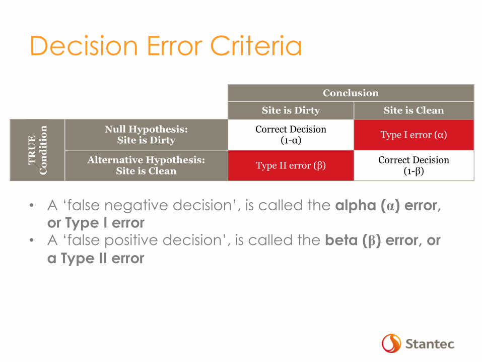
Decision Error Criteria
Conclusion
Site is Dirty Site is Clean
TRU
E
Con
diti
on
Null Hypothesis: Site is Dirty
Correct Decision (1-α) Type I error (α)
Alternative Hypothesis: Site is Clean Type II error (β) Correct Decision
(1-β) 1
• A ‘false negative decision’, is called the alpha (α) error, or Type I error
• A ‘false positive decision’, is called the beta (β) error, or a Type II error

Freeware Statistical Tools Visual Sampling Plan (VSP) • developed by Pacific Northwest
National Laboratory (PNNL) and Battelle for the DOE
• encompasses the major statistical tools used for environmental sampling design and analysis
ProUCL • developed by USEPA • provides numerous and varied
statistical methods and graphical tools to address many environmental sampling and statistical issues
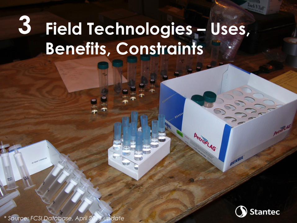
Field Technologies – Uses, Benefits, Constraints
3
* Source: FCSI Database, April 2013 update
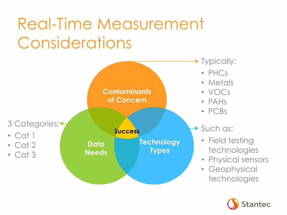
Real-Time Measurement Considerations
Data Needs
Technology Types
Contaminants of Concern
Success
Typically:
• PHCs • Metals • VOCs • PAHs • PCBs
Such as:
• Field testing technologies
• Physical sensors • Geophysical
technologies
3 Categories:
• Cat 1 • Cat 2 • Cat 3
Data Needs Categories Recommend thinking in terms of Categories of Data needs
• Category 1: Certified Laboratory data
• Category 2: Data suitable to demonstrate that contaminants are above/below action criteria. Methods do not meet all laboratory certification
• Category 3: Data used to define "dirty" when identifying source areas, but have inadequate detection limits or compound specificity to define final action level boundaries
+
-

Technology Types/Categories 1. Field testing technologies • PID, FID, XRF, GC/MS, etc.
2. Physical sensors • Thermistors, CPT, etc.
3. Geophysical technologies • GPR, EM, etc.
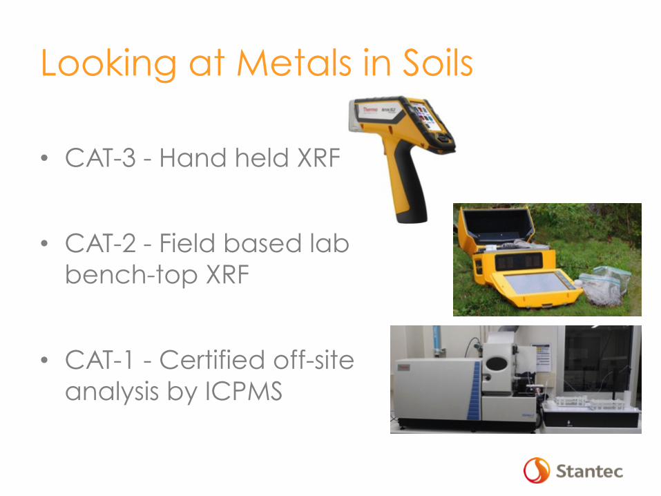
Looking at Metals in Soils
• CAT-3 - Hand held XRF
• CAT-2 - Field based lab bench-top XRF
• CAT-1 - Certified off-site analysis by ICPMS

Looking at PAHs in Soils
• CAT-3 – Laser-Induced Fluorescence (LIF), test kits, portable GC/MS
• CAT-2 – Field-based lab GC/MS
• CAT-1 – Certified off-site analysis by GC/MS
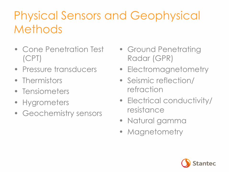
Physical Sensors and Geophysical Methods
• Cone Penetration Test (CPT)
• Pressure transducers • Thermistors • Tensiometers • Hygrometers • Geochemistry sensors
• Ground Penetrating Radar (GPR)
• Electromagnetometry • Seismic reflection/
refraction • Electrical conductivity/
resistance • Natural gamma • Magnetometry
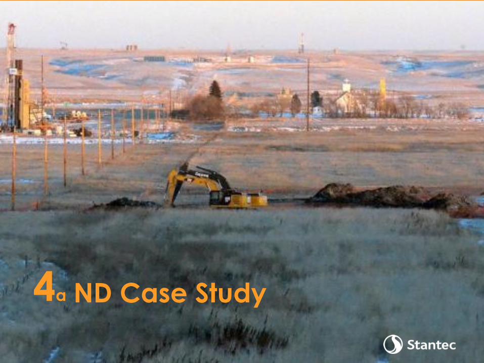
ND Case Study 4a
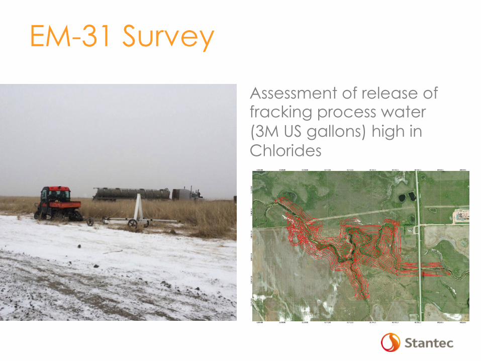
EM-31 Survey
Assessment of release of fracking process water (3M US gallons) high in Chlorides
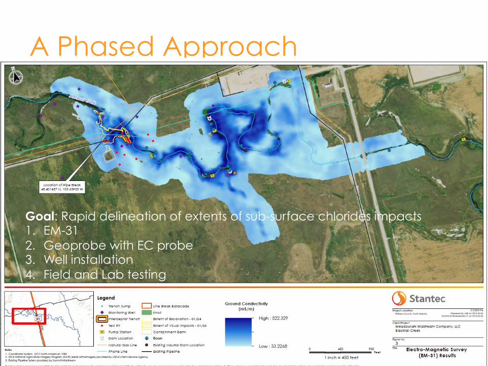
A Phased Approach
21
Goal: Rapid delineation of extents of sub-surface chlorides impacts 1. EM-31 2. Geoprobe with EC probe 3. Well installation 4. Field and Lab testing

NU Case Study 4b
22
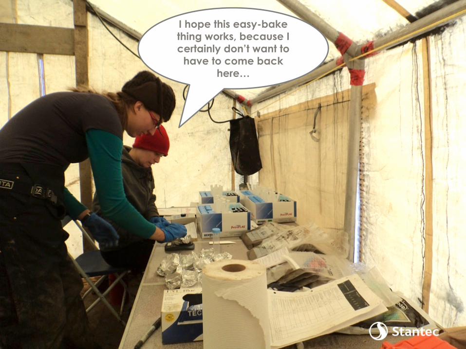
23
I hope this easy-bake thing works, because I certainly don’t want to
have to come back here…

CAT-2 with defined standard error
0
200
400
600
800
1000
1200
1400
1600
1800
2000
0 500 1000 1500 2000 2500
Lab
ora
tory
Da
ta (
mg
/L)
PetroFLAG Data (mg/L)
Comparison of PetroFLAG values versus Laboratory Data for Total Petroleum Hydrocarbons (TPH)
𝑹=𝟎.𝟑𝟑𝟖𝟗

25
The XRF? Not so
much…
Things to Consider • First time there/CSM? • Temperature/weather • CoCs • DQOs/MDLs/PQLs/Objectives • TDGA • Statistics/Correlations • Interference?

Conclusion 5
Data Needs
Technology Types
Contaminants of Concern
Success

Questions?
Francois Lauzon, C.D., M.Eng., P.Eng. Senior Principal Stantec Ottawa 613-738-6062 [email protected] Contributors/Collaborators: Marc Bouchard, P.Eng. and David Wilson, M.A.Sc., P.Eng. Stantec, Ottawa