computer science department andrés corrada-emmanuel and howard schultz presented by lawrence carin...
Post on 21-Dec-2015
215 views
TRANSCRIPT

Computer Science Department
Andrés Corrada-Emmanuel and Howard Schultz
Presented byLawrence Carin from Duke
University
Autonomous precision error in low-level computer vision tasks

2Aerial Imaging and Remote Sensing Lab, Computer Science
Outline
Model-redundant data: An increasingly common scenario• Lots of data, many ways to process it: each leading to a
different model/predictions.• When predictions go wrong, who is to blame: the data or the
algorithm? Computer-vision task: make maps from aerial images
• Ground truth absent.• How should the multiple terrain models be fused into a single
best one? Autonomous difference equations and compressed sensing
• Error = accuracy + precision.• Ground truth is not needed for precision error estimation: a
generalization of the bias/variance theorem.• Given enough models, precision error between models is
sparsely correlated.

3Aerial Imaging and Remote Sensing Lab, Computer Science
The problem: Model-redundant data without ground truth Increasingly common scenario in many scientific fields
• Lots of data.• Lots of algorithms for processing that data to create different
models/predictions of an underlying phenomena.• Ground truth absent or expensive to obtain.
Questions we would like to answer in these conditions• What data inputs are good?• What algorithms are appropriate for processing the data?• What is the optimal way of fusing all our model predictions?• What is the minimum uncertainty in a final fused prediction?
4Aerial Imaging and Remote Sensing Lab, Computer Science
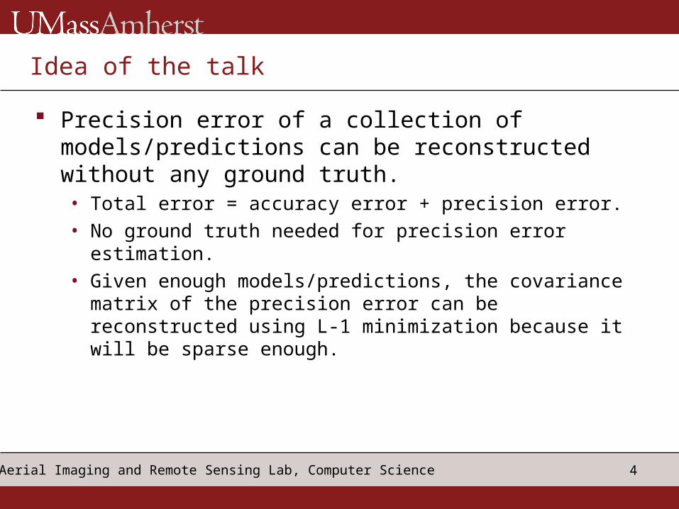
Idea of the talk
Precision error of a collection of models/predictions can be reconstructed without any ground truth.• Total error = accuracy error + precision error.• No ground truth needed for precision error estimation.• Given enough models/predictions, the covariance
matrix of the precision error can be reconstructed using L-1 minimization because it will be sparse enough.

5Aerial Imaging and Remote Sensing Lab, Computer Science
The Bias-Variance Theorem of Machine Learning
Bias/accuracy: how far is the prediction from the ground truth?
Variance/precision: how noisy is your model given the data?
Precision independent of ground truth! Our claim: precision of a collection of models is
also computable in certain circumstances without the need for any ground truth

6Aerial Imaging and Remote Sensing Lab, Computer Science
Computer-vision task: Digital Elevation Models (DEM) Pairs of photographs can
be stereo matched to triangulate terrain heights
Data structure:
Many sources of error:• Matching on occlusions• Sensor position and
orientation errors• Etc.
Each photographic pair creates one model/prediction (DEM) of the terrain.

7Aerial Imaging and Remote Sensing Lab, Computer Science
Autonomous precision error estimation
Given n DEMs we can construct globally invariant quantities that cancel out ground truth.
Any estimate can be written as
Ground truth cancels out!
But

8Aerial Imaging and Remote Sensing Lab, Computer Science
A linear system for the average error covariance matrix Square autonomous differences and average
over the predictions
Under-determined linear system always for covariance matrix entries

9Aerial Imaging and Remote Sensing Lab, Computer Science
Compressed sensing techniques can recover error signal Sparse signals can be reconstructed with high
probability
The error in the signal – not just the signal – can be sparsely correlated in many situations:• Different points of view for the sensor lead to different
errors.• Different algorithms have different biases• The opposite view -- collecting more data or using
different algorithms always leads to correlated errors – should be the exception.

10Aerial Imaging and Remote Sensing Lab, Computer Science
Given enough models, precision error is sparse enough Number of equations needed to solve for all the
covariance matrix entries:
Number of equations available from autonomous difference equations:
Percentage factor below determinancy:
As the number of models grows the linear system becomes close to being fully determined.

11Aerial Imaging and Remote Sensing Lab, Computer Science
Twenty-Nine Palms Dataset and Maps Four photographs are matched asymmetrically to produced ten DEMs
-> 10x10 covariance matrix (blue positive correlation, red negative).
1 2 3 4 5 6 7 8 9 1012345678910

12Aerial Imaging and Remote Sensing Lab, Computer Science
Precision error reconstruction for DEMs
Reconstruction discovered asymmetric pairs used by the Terrest system (2x2 block structure on the diagonal).
Reconstruction is model independent – no assumptions about what DEMs are correlated with each other.
Covariance matrix has less entries turned on than those required for exact reconstruction.
Some photographs produced less noisy models – some data inputs not as good as others.

13Aerial Imaging and Remote Sensing Lab, Computer Science
Conclusions
Precision error of models can be recovered independent of ground truth when you have “enough” models.
The structure of the covariance matrix contains two fingerprints:• How the data was processed• The quality of the data inputs used to create the
models
This framework has possible applicability across all of machine learning: precision error of many models applied to data.