climate change and disaster mitigation determining
TRANSCRIPT

Use, duplication, or disclosure of this document or any of the information contained herein is subject to the restrictions on the title page of this document. 1
Climate Change and Disaster Mitigation
Determining Information Needs:Maximizing Value and Accessibility
RESTRICTION ON USE, PUBLICATION OR DISCLOSURE OF PROPRIETARY INFORMATION
This document contains information proprietary to MacDonald, Dettwiler and Associates Ltd., to its subsidiaries, or to a third party to which MacDonald, Dettwiler and Associates Ltd. may have a legal obligation to protect such information from unauthorized disclosure, use or duplication. Any disclosure, use or duplication of this document or of any of the information contained herein
for other than the specific purpose for which it was disclosed is expressly prohibited, except as MacDonald, Dettwiler and Associates Ltd. may agree to in writing.
David BeltonVice President, Geospatial Services
MDA Geospatial Services [email protected]

Use, duplication, or disclosure of this document or any of the information contained herein is subject to the restrictions on the title page of this document.2
Outline
• About MDA Geospatial Services
• Support to the United Nations
• Climate Change and Disaster Management
• Context and Challenges
• Relation to Sustainable Development Goals
• Increasing Geospatial Information Value and Accessibility
• Some Considerations for the Panel
Use, duplication or disclosure of this document or any of the information or images containedherein is subject to the restrictions on the title page of this document. COPYRIGHT ©2013 MDA
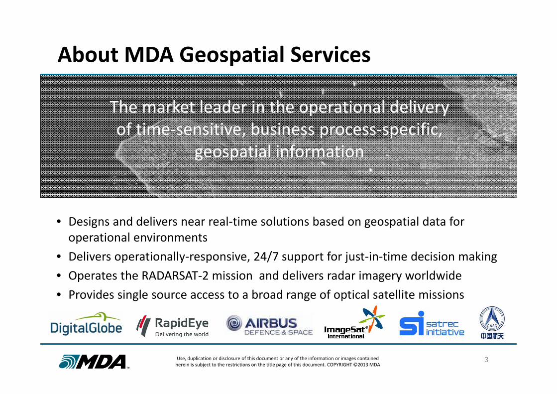
About MDA Geospatial Services
3
• Designs and delivers near real‐time solutions based on geospatial data for operational environments
• Delivers operationally‐responsive, 24/7 support for just‐in‐time decision making• Operates the RADARSAT‐2 mission and delivers radar imagery worldwide• Provides single source access to a broad range of optical satellite missions
Leading global provider of geospatial information solutions to customers with operational needs for essential decision
making
The market leader in the operational delivery of time‐sensitive, business process‐specific,
geospatial information
The market leader in the operational delivery of time‐sensitive, business process‐specific,
geospatial information

Use, duplication or disclosure of this document or any of the information or images containedherein is subject to the restrictions on the title page of this document. COPYRIGHT ©2013 MDA
Operational Capabilities Servicing Global Markets
Mining
SurfaceAsset
Monitoring
Decommissionedand Abandoned
Mine Monitoring
Agriculture
CropMonitoring
RiceMonitoring
4
Defence andSecurity
MaritimeSurveillance
Intelligence and
Reconnaissance
DisasterManagement
FloodMonitoring
Flood Modeling
Oil and Gas
OffshoreOil Monitoring
Ice Monitoring
SurfaceMovementMonitoring
Asset Security
Aviation
AirportMapping
ObstructionMapping
NaturalResources
Ice Monitoring
IllegalFishing
Deforestation Monitoring

Use, duplication, or disclosure of this document or any of the information contained herein is subject to the restrictions on the title page of this document.5
Support to the United Nations
• MDA has been under contract to the United Nations since 2004, providing satellite imagery to 39 UN entities.
• Imagery products benefit a variety of UN projects with strategic intelligence and information enabling enhanced decision making
• Projects include:• Peace Keeping Base Mapping and Surveillance• UNODC Illicit Crop Monitoring• UN Security Council Situational Awareness• FAO Food Security Issues

Use, duplication, or disclosure of this document or any of the information contained herein is subject to the restrictions on the title page of this document.
• Climate change and disasters have a significant impact on the well-being of the global population.
• Geospatial information has an important role to play in monitoring and mitigating the impact of climate and disaster-induced change.
• Further, to support the achievement of sustainable global development goals, it is imperative that we work to increase the value and accessibility of geospatial information.
Climate and Disasters: Context and Challenges

Use, duplication, or disclosure of this document or any of the information contained herein is subject to the restrictions on the title page of this document.
# OWG4SD Sustainable Development Goal Direct Role
Indirect Role
1 End poverty in all its forms everywhere X
2 End hunger, achieve food security and improved nutrition, and promote sustainable agriculture X
3 Ensure healthy lives and promote well-being for all at all ages X
4 Ensure inclusive and equitable quality education and promote life-long learning opportunities for all
5 Achieve gender equality and empower all women and girls
6 Ensure availability and sustainable management of water and sanitation for all X
7 Ensure access to affordable, reliable, sustainable, and modern energy for all X
8 Promote sustained, inclusive and sustainable economic growth, full and productive employment and decent work for all
X
9 Build resilient infrastructure, promote inclusive and sustainable industrialization and foster innovation X
10 Reduce inequality within and among countries X
11 Make cities and human settlements inclusive, safe, resilient and sustainable X
12 Ensure sustainable consumption and production patterns X
13 Take urgent action to combat climate change and its impacts X
14 Conserve and sustainably use the oceans, seas and marine resources for sustainable development X
15 Protect, restore and promote sustainable use of terrestrial ecosystems, sustainably manage forests, combat desertification, and halt and reverse land degradation and halt biodiversity loss
X
16 Promote peaceful and inclusive societies for sustainable development, provide access to justice for all and build effective, accountable and inclusive institutions at all levels
X
17 Strengthen the means of implementation and revitalize the global partnership for sustainable development X
7
The Role of Geospatial Data in Achieving Sustainable Development Goals

Use, duplication, or disclosure of this document or any of the information contained herein is subject to the restrictions on the title page of this document.
How can we assess the impact that changes in global sea ice will have on vulnerable coastal populations and ecosystems?
8
Climate Change – Global Issue, Local Consequences

Use, duplication, or disclosure of this document or any of the information contained herein is subject to the restrictions on the title page of this document. 9
Disaster Mitigation – Managing Prevention, Response
Image: Natori, Japan | March 12, 2011 | Natural Color Image DigitalGlobe Proprietary and Business Confidential
How can we best equip emergency responders with timely information to direct resources to where help is needed most?

Use, duplication, or disclosure of this document or any of the information contained herein is subject to the restrictions on the title page of this document.
Maximizing Value Needs a Multi-Source Approach
Each sensor platform has its own capabilities and benefits. Increased value and information content is achieved using a multi-source approach.
10
Coverage Revisit
Product Latency Image Quality
Task
ing
Late
ncy
Task
ing
Prio
rity R
esolutionG
eolocation
Cosmo-SkymedTerraSARSentinel-1RADARSAT
Coverage Revisit
Product Latency Image Quality
Task
ing
Late
ncy
Task
ing
Prio
rity R
esolutionG
eolocation
LandsatRapidEyePleiadesWorldView
Fig 1. Optical Satellites Fig 2. RADAR Satellites

Use, duplication, or disclosure of this document or any of the information contained herein is subject to the restrictions on the title page of this document.
Latency and Response Times Are Critical
• Geospatial information value is time limited for many applications.
• Geospatial information is not just about where and what, but:• When?• Still relevant?• What is changing?
• Reducing latency and response applies to both:• Tasking of new collections• Post-collection product delivery
.
11
MaritimeSurveillance
Target ChangeDetection
Defence andSecurity
DisasterManagement
FloodMapping
Landslide Monitoring
Oil and Gas
Oil SpillMonitoring
IncidentResponse
NaturalResources
Ice Monitoring
IllegalFishing
The world is dynamic. Need to think not only geospatial… but geotemporal.

Use, duplication, or disclosure of this document or any of the information contained herein is subject to the restrictions on the title page of this document.
Rapid Response Requires Global Infrastructure
12
A global network of direct satellite access infrastructure minimizes latency.

Use, duplication, or disclosure of this document or any of the information contained herein is subject to the restrictions on the title page of this document.
Imagery as a Product is Not Enough
13
Geospatial information products need to be designed to answer the specific questions of target users and integrate directly with user workflows.

Use, duplication, or disclosure of this document or any of the information contained herein is subject to the restrictions on the title page of this document.
Climate Change is Geographically Extensive
14
• Questions of climate change are global in nature.
• Climate change processes span large spatial and temporal scales
• Extensive and repeat geographic coverage are required to observe and characterize climate-related changes.
Broad area, repeat monitoring is fundamentally valuable – its not
just about resolution.

Use, duplication, or disclosure of this document or any of the information contained herein is subject to the restrictions on the title page of this document.
Geospatial Big Data and the Mobile World
15
• Increasingly large geospatial data sets create new opportunities for data mining and analytics to support climate change and disaster management.
• Effective access, manipulation and analysis of these data sets requires new approaches, tools, and algorithms (eg. crowd sourcing, cloud based computing)
• Geospatial information products need to be designed and optimized for the mobile world that disaster responders live in.

Use, duplication, or disclosure of this document or any of the information contained herein is subject to the restrictions on the title page of this document.16
Policy and Standards Related Challenges
• Each satellite operator has its own regulatory, access, and licensing policies. Achieving a harmonized solution across multiple operators is often very complex.
• The processes and mechanisms required to order data from different satellites are not standardized, making it difficult for users to create and submit requests that meet their needs.
• Product formats are reasonably standardized but there remain some issues across different standards and data sources that inhibit use.
A single-channel satellite remote sensing data broker offers unique value to the diverse
requirements of organizations like the UN.

Use, duplication, or disclosure of this document or any of the information contained herein is subject to the restrictions on the title page of this document.
In Conclusion: Some Considerations for the Panel
17
• How can the climate change and disaster management community best take advantage of new generation sensors?
• During disasters, how fast is fast enough when it comes to geospatial information product delivery?
• What do we need to do to foster the development of information services that better target the requirements of the users we serve?
• How can the climate change community better access and take advantage of the geospatial big data sets collected of our planet?
• How can we minimize the barriers created by different licensing and commercial approaches in the context of disaster response?

Use, duplication, or disclosure of this document or any of the information contained herein is subject to the restrictions on the title page of this document.18
Thank You