chapter 34 water on our world. hydrologic cycle
TRANSCRIPT

Chapter 34
Water On Our World
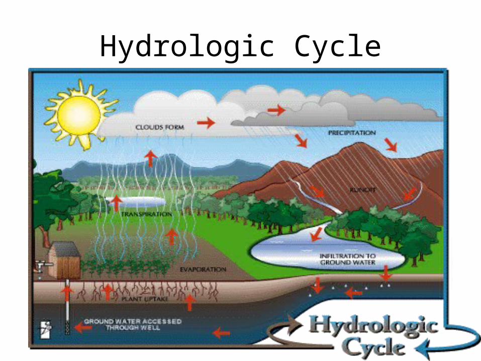
Hydrologic Cycle


34.2 Water below the surface
• 1.5 % of the fresh water supply is found in polar regions, lakes, ponds, rivers, streams, and puddles.
• 98.5% resides in porous regions beneath the Earth’s surface.
• The type of surface material influences how much water will soak into the ground.
• • Sand easily soaks up water• Clay causes runoff since it does not soak up water well.• Rocky with little to no soil worst water absorber•

Ground water: •water that soaks into the Earth
to fill all the open pore spaces.
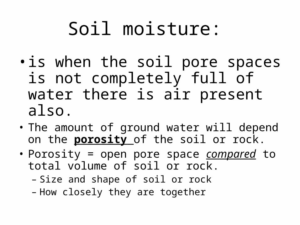
Soil moisture:
• is when the soil pore spaces is not completely full of water there is air present also.
• The amount of ground water will depend on the porosity of the soil or rock.
• Porosity = open pore space compared to total volume of soil or rock.– Size and shape of soil or rock– How closely they are together

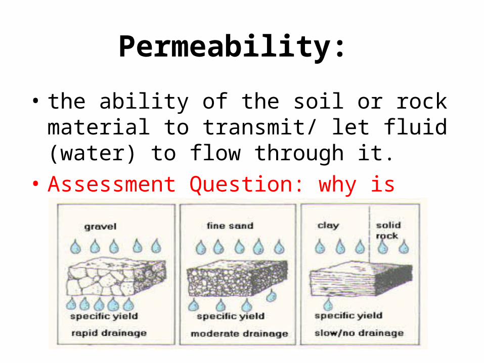
Permeability:
• the ability of the soil or rock material to transmit/ let fluid (water) to flow through it.
• Assessment Question: why is sandy soil better for water flow than a soil composed of clay?
The water table
• The upper boundary of the saturated zone.• The depth of the water table will vary with
precipitation and climate.• Marshes and swamps = zero• Deserts = hundreds of meters• Topography causes the table to rise and fall
(see figure 34.4)

Aquifer:
• water-bearing underground layer that groundwater can flow through.– More than ½ land in the United States is underlain
by aquifers.– Low –permeability layers can intercept (trap)
water above the main water table: perched water table.
•
Ground water movement
• Hydraulic gradient: the slope of the water table.
• water moves from the region the water table is high to the region the water table is low.
• speed of ground water is generally slow.• more permeable the aquifer the faster the
flow• the greater the hydraulic gradient the faster
the flow
Chapter 34.3Streams come in different shapes and sizes
• Streams are made up of flowing surface water.• Size will vary small to as large as the Mississippi.• Streams carve out the land.• Provide: energy, irrigation, and a means of
transportation.• Streams speed changes as it moves.– 1.stream gradient– 2. stream discharge– 3. stream geometry
•
Stream gradient:
• is the measure of the streams slope.– Stream speed is greater/faster where it is the
steepest.
Stream discharge:
• is the volume of water that passes a given location in a channel in a certain amount of time.– Directly related to depth and width of stream.
•

Channel geometry:
• the shape and dimensions greatly affect the speed.– Friction between water and channel sides and
bottom slow the water speed.– A narrow channel will increase the speed.– Headwaters are often called rapids.– Wider and steeper channels will have slower
flowing water.

Drainage networks are made up of many streams
• A stream is one small piece of a much larger system called a drainage basin.
• Drainage basin: the total area that feeds water to a given stream.• Can cover a vast area of land or be a small as 1 square kilometer.• Drainage basins are separated by divides. • • Divides: lines tracing out the highest ground between streams. (see
page 607)• Continental divide is a continuous line that separates the Pacific
basin and the Atlantic basin of North America. Water flows east or west from divide.
• Streams merge into a drainage network.• Drainage is greatly influenced by the rock type and rock material
eroded.