capital grants - us department of transportation€¦ · capital grants. northeast. memorial bridge...
TRANSCRIPT
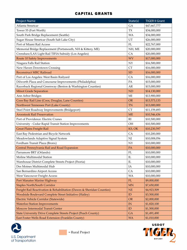
Project Name State(s) TIGER II Grant
Atlanta Streetcar GA $47,667,777 Tower 55 (Fort Worth) TX $34,000,000 South Park Bridge Replacement (Seattle) WA $34,000,000 Sugar House Streetcar (South Salt Lake City) UT $26,000,000 Port of Miami Rail Access FL $22,767,000 Memorial Bridge Replacement (Portsmouth, NH & Kittery, ME) NH, ME $20,000,000 Crenshaw/LAX Light Rail TIFIA Subsidy (Los Angeles) CA $20,000,000 Route 10 Safety Improvements WV $17,000,000 Niagara Falls Rail Station NY $16,500,000 New Haven Downtown Crossing CT $16,000,000 Reconstruct MRC Railroad SD $16,000,000 Port of Los Angeles: West Basin Railyard CA $16,000,000 Dilworth Plaza and Concourse Improvements (Philadelphia) PA $15,000,000 Razorback Regional Greenway (Benton & Washington Counties) AR $15,000,000 Minot Grade Separation ND $14,130,000 Ann Arbor Bridges MI $13,900,000 Coos Bay Rail Line (Coos, Douglas, Lane Counties) OR $13,573,133 Northwest Tennessee Port (Lake County) TN $13,000,000 Steel Point Roadway Improvements (Bridgeport) CT $11,159,493 Aroostook Rail Preservation ME $10,546,436 Port of Providence: Electric Cranes RI $10,500,000 University - Cedar Rapid Transit Station Improvements OH $10,500,000 Great Plains Freight Rail KS, OK $10,230,597
East Bay Pedestrian and Bicycle Network CA $10,200,000 Meadowlands Adaptive Signal System NJ $10,008,056 Fordham Transit Plaza (Bronx) NY $10,000,000 Central Pennsylvania Rail and Road Expansion PA $10,000,000 Parramore BRT (Orlando) FL $10,000,000 Moline Multimodal Station IL $10,000,000 Warehouse District Complete Streets Project (Peoria) IL $10,000,000 Des Moines Multimodal Hub IA $10,000,000 San Bernardino Airport Access CA $10,000,000 West Vancouver Freight Access WA $10,000,000 Port Manatee Marine Highway FL $9,000,000 Staples North/South Corridor MN $7,650,000 Freight Rail Reactivation & Rehabilitation (Dawes & Sheridan Counties) NE $4,923,509 Woodside Boulevard Complete Street Initiative (Hailey) ID $3,500,000 Electric Vehicle Corridor (Statewide) OR $2,000,000 Waterloo Station Improvements IN $1,820,100 Moscow Intermodal Transit Center ID $1,500,000 State University Drive Complete Streets Project (Peach County) GA $1,491,490 East Foster Wells Road Extension (Franklin County) WA $1,010,000
= Rural Project
Capital Grants
N O R T H E A S T

M e M o r i a l B r i d g e r e p l a c e M e n t
A p p l i c A n t /S p o n S o r :
t o tA l p r o j e c t c o S t :
G r A n t F u n d i n G :
New Hampshire Department of Transportation$100,000,000
$20,000,000
This joint Maine-New Hampshire project will replace a crucial, but deteriorating, highway bridge that currently has a bridge sufficiency rating of 6 out of 100. Safety concerns resulted in both states’ restricting bridge traffic to no more than three tons, thereby causing all truck traffic to detour. The TIGER II grant provided by the U.S. Department of Transportation will enable this bridge to resume normal operations and allow material transport between the Portsmouth Naval Shipyard and the regional transportation network.
p r o j e c t d e S c r i p t i o n
p r o j e c t H i G H l i G H t S
»» Replaces a structurally deficient bridge that is New Hampshire DOT’s number one bridge priority»» Restores the bridge to a state of good repair capable of supporting truck traffic to Portsmouth Naval Shipyard »» Increases the connectivity of truck and auto traffic and over 1,000 bicyclist and pedestrians every day
The Memorial Bridge replacement will restore truck traffic to the most efficient route from the Portsmouth Naval shipyard, enhancing the economic competitiveness of the region. The Memorial Bridge carries US-1 traffic parallel to I-95 and serves the local area and a working waterfront that includes lobster boats, barges, and submarines in Portsmouth Naval shipyard. The bridge also functions as an important crossing over the Piscataqua River for freight, passenger vehicles, and a significant number of pedestrians and bicyclists.
p r o j e c t B e n e F i t S
n o r t h e a s t
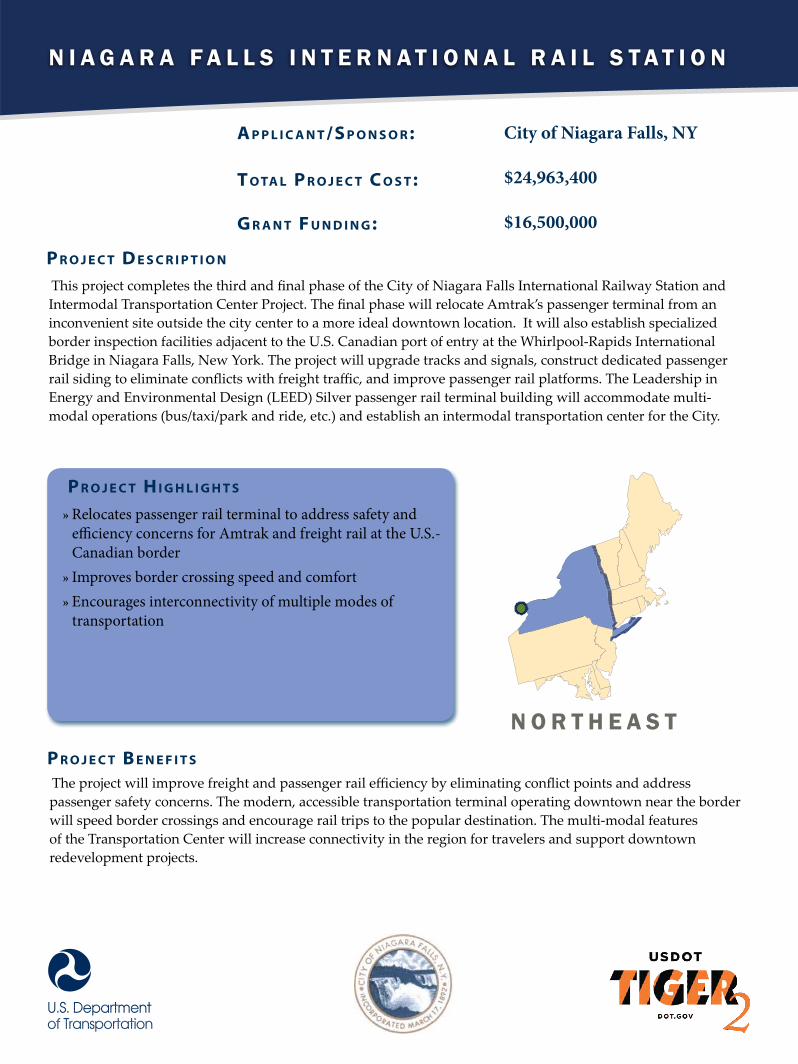
N i a g a r a F a l l s i N t e r N a t i o N a l r a i l s t a t i o N
A p p l i c A n t /S p o n S o r :
t o tA l p r o j e c t c o S t :
G r A n t F u n d i n G :
City of Niagara Falls, NY
$24,963,400
$16,500,000
This project completes the third and final phase of the City of Niagara Falls International Railway Station and Intermodal Transportation Center Project. The final phase will relocate Amtrak’s passenger terminal from an inconvenient site outside the city center to a more ideal downtown location. It will also establish specialized border inspection facilities adjacent to the U.S. Canadian port of entry at the Whirlpool-Rapids International Bridge in Niagara Falls, New York. The project will upgrade tracks and signals, construct dedicated passenger rail siding to eliminate conflicts with freight traffic, and improve passenger rail platforms. The Leadership in Energy and Environmental Design (LEED) Silver passenger rail terminal building will accommodate multi-modal operations (bus/taxi/park and ride, etc.) and establish an intermodal transportation center for the City.
p r o j e c t d e S c r i p t i o n
p r o j e c t H i G H l i G H t S
»» Relocates passenger rail terminal to address safety and efficiency concerns for Amtrak and freight rail at the U.S.-Canadian border»» Improves border crossing speed and comfort»» Encourages interconnectivity of multiple modes of transportation
The project will improve freight and passenger rail efficiency by eliminating conflict points and address passenger safety concerns. The modern, accessible transportation terminal operating downtown near the border will speed border crossings and encourage rail trips to the popular destination. The multi-modal features of the Transportation Center will increase connectivity in the region for travelers and support downtown redevelopment projects.
p r o j e c t B e n e F i t S
N o r t h e a s t
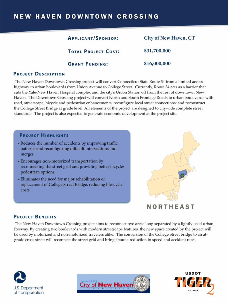
N e w H a v e N D o w N t o w N C r o s s i N g
A p p l i c A n t /S p o n S o r :
t o tA l p r o j e c t c o S t :
G r A n t F u n d i n G :
City of New Haven, CT
$31,700,000
$16,000,000
The New Haven Downtown Crossing project will convert Connecticut State Route 34 from a limited access highway to urban boulevards from Union Avenue to College Street. Currently, Route 34 acts as a barrier that cuts the Yale-New Haven Hospital complex and the city’s Union Station off from the rest of downtown New Haven. The Downtown Crossing project will convert North and South Frontage Roads to urban boulevards with road, streetscape, bicycle and pedestrian enhancements; reconfigure local street connections; and reconstruct the College Street Bridge at grade level. All elements of the project are designed to citywide complete street standards. The project is also expected to generate economic development at the project site.
p r o j e c t d e S c r i p t i o n
p r o j e c t H i G H l i G H t S
»» Reduces the number of accidents by improving traffic patterns and reconfiguring difficult intersections and merges»» Encourages non-motorized transportation by reconnecting the street grid and providing better bicycle/pedestrian options»» Eliminates the need for major rehabilitation or replacement of College Street Bridge, reducing life-cycle costs
The New Haven Downtown Crossing project aims to reconnect two areas long separated by a lightly used urban freeway. By creating two boulevards with modern streetscape features, the new space created by the project will be used by motorized and non-motorized travelers alike. The conversion of the College Street bridge to an at-grade cross street will reconnect the street grid and bring about a reduction in speed and accident rates.
p r o j e c t B e n e F i t S
N o r t H e a s t
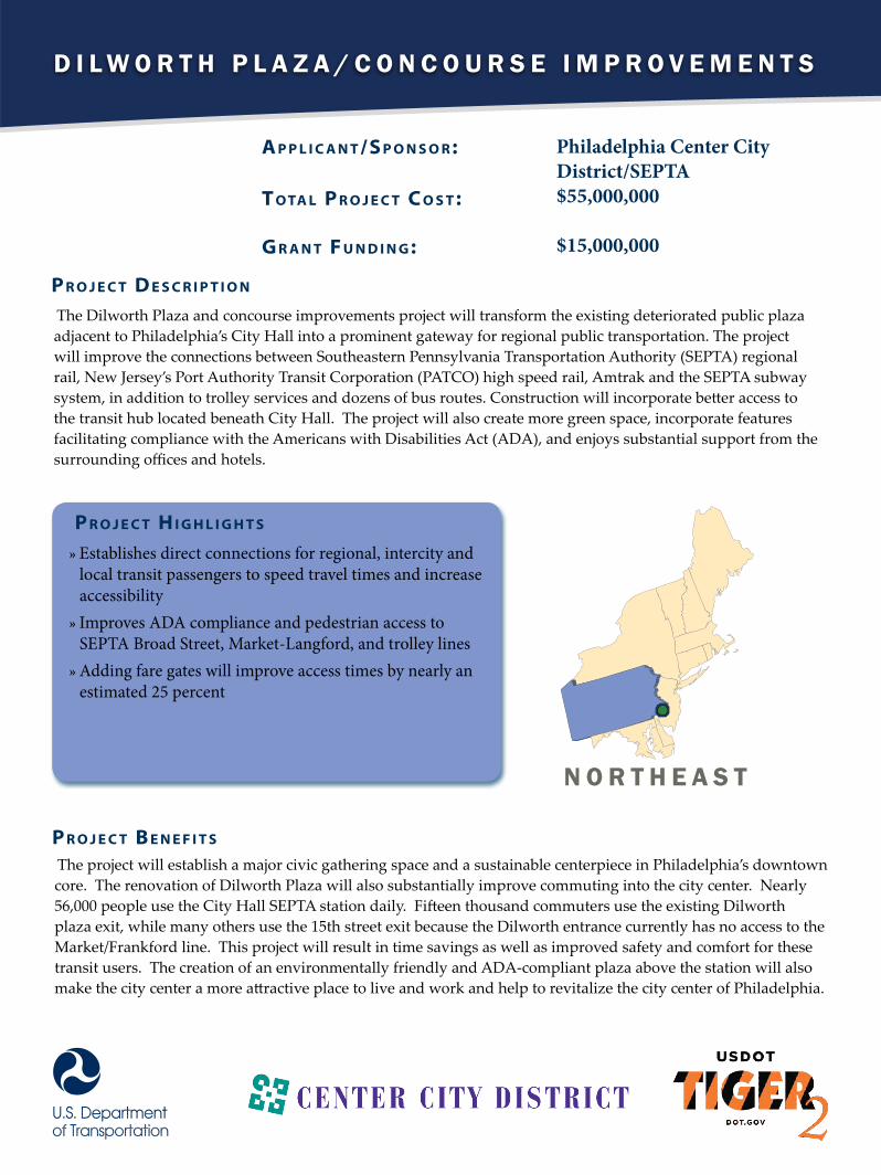
D i l w o r t h P l a z a / C o n C o u r s e i m P r o v e m e n t s
A p p l i c A n t /S p o n S o r :
t o tA l p r o j e c t c o S t :
G r A n t F u n d i n G :
Philadelphia Center City District/SEPTA$55,000,000
$15,000,000
The Dilworth Plaza and concourse improvements project will transform the existing deteriorated public plaza adjacent to Philadelphia’s City Hall into a prominent gateway for regional public transportation. The project will improve the connections between Southeastern Pennsylvania Transportation Authority (SEPTA) regional rail, New Jersey’s Port Authority Transit Corporation (PATCO) high speed rail, Amtrak and the SEPTA subway system, in addition to trolley services and dozens of bus routes. Construction will incorporate better access to the transit hub located beneath City Hall. The project will also create more green space, incorporate features facilitating compliance with the Americans with Disabilities Act (ADA), and enjoys substantial support from the surrounding offices and hotels.
p r o j e c t d e S c r i p t i o n
p r o j e c t H i G H l i G H t S
»» Establishes direct connections for regional, intercity and local transit passengers to speed travel times and increase accessibility»» Improves ADA compliance and pedestrian access to SEPTA Broad Street, Market-Langford, and trolley lines»» Adding fare gates will improve access times by nearly an estimated 25 percent
The project will establish a major civic gathering space and a sustainable centerpiece in Philadelphia’s downtown core. The renovation of Dilworth Plaza will also substantially improve commuting into the city center. Nearly 56,000 people use the City Hall SEPTA station daily. Fifteen thousand commuters use the existing Dilworth plaza exit, while many others use the 15th street exit because the Dilworth entrance currently has no access to the Market/Frankford line. This project will result in time savings as well as improved safety and comfort for these transit users. The creation of an environmentally friendly and ADA-compliant plaza above the station will also make the city center a more attractive place to live and work and help to revitalize the city center of Philadelphia.
p r o j e c t B e n e F i t S
n o r t h e a s t

S t e e l P o i n t R o a d w a y i m P R o v e m e n t S
A p p l i c A n t /S p o n S o r :
t o tA l p r o j e c t c o S t :
G r A n t F u n d i n G :
City of Bridgeport, CT
$44,720,000
$11,159,493
The Steel Point roadway improvements project will reconstruct and modernize 4.6 lane‐miles of urban minor arterial roadways and 0.75 miles of pedestrian/bicycle pathways in the city of Bridgeport, Connecticut. Modeled on the ‘complete streets’ concept, improvements will include roadway reconstruction, the addition of bikeways and enhanced landscaping, as well as better pedestrian connections to the surrounding neighborhoods, Bridgeport’s downtown intermodal transportation center, and the public waterfront.
p r o j e c t d e S c r i p t i o n
p r o j e c t H i G H l i G H t S
»» Redevelops an under-utilized industrial brownfield site to provide transit-oriented development in support of a long-term economic development plan»» Improves pedestrian and bicycle access from neighborhoods to the east across the Pequonnock River and Yellow Mill Channel to Bridgeport’s downtown business district and existing intermodal transportation center»» Reduces travel times for drivers along the heavily-traveled I-95 corridor
The Steel Point roadway network is an important, but deteriorated, transportation corridor and this TIGER II grant will bring the roadway into a state of good repair. The grant will also reduce operating costs, travel times, as well as vehicle exhaust emissions and the route’s environmental impact on the area. In addition, the project will increase economic activity and improve the quality of life in Bridgeport by turning the Steel Point peninsula into a new, vibrant, mixed‐use and transit‐friendly urban neighborhood. Roadway and site drainage reconstruction is also projected to reduce annual maintenance and repair costs in the project area.
p r o j e c t B e n e F i t S
n o R t h e a S t

A r o o s t o o k r A i l P r e s e r v A t i o n
A p p l i c A n t /S p o n S o r :
t o tA l p r o j e c t c o S t :
G r A n t F u n d i n G :
Maine Department of Transportation$29,646,436
$10,546,436
The Aroostook rail preservation project will restore the rail routes serving Northern Maine by replacing railroad ties and rail sections, and by clearing drainage ditches. The project will rehabilitate 230 miles of rail in Northern Maine constructed more than 100 years ago, which was allowed to fall into disrepair by a previous rail owner-operator. The improvements funded by this TIGER II grant will improve the flow of forest products and other exports from Maine.
p r o j e c t d e S c r i p t i o n
p r o j e c t H i G H l i G H t S
»» Re-establishes vital rail link to meet regional and national goods movement needs»» Increases competitiveness of American forest products in global markets»» Encourages development of new industry in economically distressed region
The preservation of the Aroostook County rail lines will help maintain the economy of Northern Maine, specifically forest products, pulp, and paper, of which about 31 percent is exported. Maintaining these lines will allow Maine to continue providing service to a number of mills and other factories which rely on the rail line to ship their products competitively. It will also enhance livability for the residents of Aroostook County by keeping truck loads off the roads.
p r o j e c t B e n e F i t S
n o r t h e A s t

P o r t o f P r o v i d e n c e
A p p l i c A n t /S p o n S o r :
t o tA l p r o j e c t c o S t :
G r A n t F u n d i n G :
City of Providence, RI
$39,463,976
$10,500,000
This project will expand and upgrade the Port of Providence in Rhode Island. TIGER II dollars will help replace two aged diesel cranes, one of which is currently non-functional, with new electric, barge-based cranes that will enable the Port to handle container traffic. The Port also plans to install wind turbines and solar panels that are expected to generate enough electricity to cover all the port’s electrical needs. The improvements to the port will enable short sea shipping, which will reduce highway bottlenecks caused by truck traffic.
p r o j e c t d e S c r i p t i o n
p r o j e c t H i G H l i G H t S
»» Replaces dilapidated diesel cranes, only one of which is currently working, with two new electric cranes»» Allows the Port of Providence to serve as a short sea shipping hub »» Takes trucks off the congested I-95 corridor thanks to added capacity that can handle 1000 containers a week»» Supports an estimated 1,600 direct and indirect jobs through renewed port activity
Replacing cranes at the Port of Providence will allow the port to expand its container short sea shipping operation, helping relieve bottlenecks along the I-95 corridor, and support jobs in and around economically distressed Providence. Additionally, the Port of Providence is seeking to purchase several renewable energy assets in order to power its operations exclusively with renewable sources.
p r o j e c t B e n e F i t S
n o r t h e a s t

M e a d o w l a n d s a d a p t i v e s i g n a l s y s t e M
A p p l i c A n t /S p o n S o r :
t o tA l p r o j e c t c o S t :
G r A n t F u n d i n G :
New Jersey Meadowlands Commission$12,510,070
$10,008,056
Tiger II dollars will be used to improve traffic flow in one of the most heavily used corridors in the Nation by modernizing and coordinating signals along the corridor. Traffic signals at 128 intersections will use algorithmic intelligence to achieve the maximum roadway capacity, improve operating efficiency, and avoid unnecessary roadway widening. The project makes use of innovative technology, using real-time image-based vehicle detection, broadband wireless communication, and an adaptive control system. This technology allows signal timing and phasing on a cycle-by-cycle basis in response to current traffic conditions, demand and capacity. The automation will help keep operation and maintenance costs to a minimum.
p r o j e c t d e S c r i p t i o n
p r o j e c t H i G H l i G H t S
»» Improved transit times for nearly 120,000 annual rides on NJ transit, local, and private buses which travel through the area»» Adaptive traffic control system which adjusts signal timing on and phasing based on current traffic conditions with minimal manual interference»» Wireless network ensures various pieces communicate and work together
The Adaptive Signal System is an innovative and inexpensive way to alleviate congestion within an existing transportation network without having to resort to expensive road widening. The area is in one of the most congested in the US and serves numerous businesses, entertainment facilities, ports and transit facilities. The corridor feeds millions of people into and out of the New York City metropolitan region, a staggering 438,628 cars and trucks travel the corridor every day, making it one of the most heavily traveled corridors in the country,. The system will benefit the thousands who use personal vehicles and transit buses to get around the region and into New York City. Additionally, a reduction in congestion will save thousands of tons per year of greenhouse gas emissions and help reduce fuel consumption dependence on oil.
p r o j e c t B e n e F i t S
n o r t h e a s t
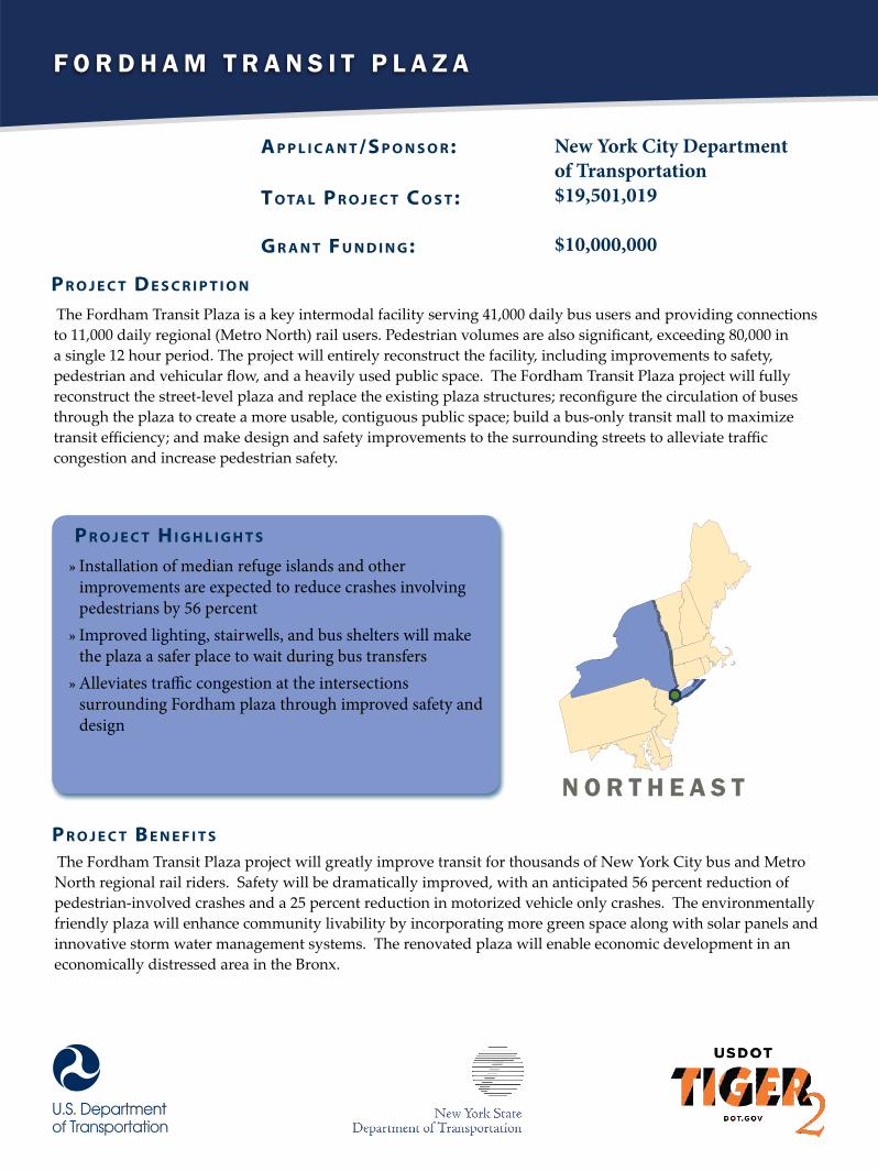
F o r d h a m T r a n s i T P l a z a
A p p l i c A n t /S p o n S o r :
t o tA l p r o j e c t c o S t :
G r A n t F u n d i n G :
New York City Department of Transportation$19,501,019
$10,000,000
The Fordham Transit Plaza is a key intermodal facility serving 41,000 daily bus users and providing connections to 11,000 daily regional (Metro North) rail users. Pedestrian volumes are also significant, exceeding 80,000 in a single 12 hour period. The project will entirely reconstruct the facility, including improvements to safety, pedestrian and vehicular flow, and a heavily used public space. The Fordham Transit Plaza project will fully reconstruct the street-level plaza and replace the existing plaza structures; reconfigure the circulation of buses through the plaza to create a more usable, contiguous public space; build a bus-only transit mall to maximize transit efficiency; and make design and safety improvements to the surrounding streets to alleviate traffic congestion and increase pedestrian safety.
p r o j e c t d e S c r i p t i o n
p r o j e c t H i G H l i G H t S
»» Installation of median refuge islands and other improvements are expected to reduce crashes involving pedestrians by 56 percent»» Improved lighting, stairwells, and bus shelters will make the plaza a safer place to wait during bus transfers »» Alleviates traffic congestion at the intersections surrounding Fordham plaza through improved safety and design
The Fordham Transit Plaza project will greatly improve transit for thousands of New York City bus and Metro North regional rail riders. Safety will be dramatically improved, with an anticipated 56 percent reduction of pedestrian-involved crashes and a 25 percent reduction in motorized vehicle only crashes. The environmentally friendly plaza will enhance community livability by incorporating more green space along with solar panels and innovative storm water management systems. The renovated plaza will enable economic development in an economically distressed area in the Bronx.
p r o j e c t B e n e F i t S
n o r T h e a s T
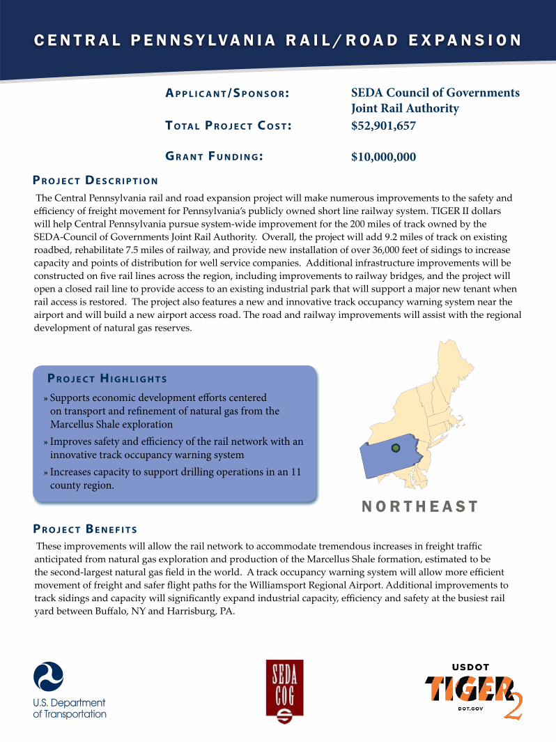
C e n t r a l P e n n s y l v a n i a r a i l / r o a d e x P a n s i o n
A p p l i c A n t /S p o n S o r :
t o tA l p r o j e c t c o S t :
G r A n t F u n d i n G :
SEDA Council of Governments Joint Rail Authority$52,901,657
$10,000,000
The Central Pennsylvania rail and road expansion project will make numerous improvements to the safety and efficiency of freight movement for Pennsylvania’s publicly owned short line railway system. TIGER II dollars will help Central Pennsylvania pursue system-wide improvement for the 200 miles of track owned by the SEDA-Council of Governments Joint Rail Authority. Overall, the project will add 9.2 miles of track on existing roadbed, rehabilitate 7.5 miles of railway, and provide new installation of over 36,000 feet of sidings to increase capacity and points of distribution for well service companies. Additional infrastructure improvements will be constructed on five rail lines across the region, including improvements to railway bridges, and the project will open a closed rail line to provide access to an existing industrial park that will support a major new tenant when rail access is restored. The project also features a new and innovative track occupancy warning system near the airport and will build a new airport access road. The road and railway improvements will assist with the regional development of natural gas reserves.
p r o j e c t d e S c r i p t i o n
p r o j e c t H i G H l i G H t S
»» Supports economic development efforts centered on transport and refinement of natural gas from the Marcellus Shale exploration»» Improves safety and efficiency of the rail network with an innovative track occupancy warning system »» Increases capacity to support drilling operations in an 11 county region.
These improvements will allow the rail network to accommodate tremendous increases in freight traffic anticipated from natural gas exploration and production of the Marcellus Shale formation, estimated to be the second-largest natural gas field in the world. A track occupancy warning system will allow more efficient movement of freight and safer flight paths for the Williamsport Regional Airport. Additional improvements to track sidings and capacity will significantly expand industrial capacity, efficiency and safety at the busiest rail yard between Buffalo, NY and Harrisburg, PA.
p r o j e c t B e n e F i t S
n o r t h e a s t

C E N T R A L

R e c o n s t R u c t M R c R a i l R o a d
A p p l i c A n t /S p o n S o r :
t o tA l p r o j e c t c o S t :
G r A n t F u n d i n G :
South Dakota Department of Transportation$21,000,000
$16,000,000
The Mitchell-Rapid City Rail (MRC) line project will rebuild a state-owned branch line from Mitchell to Chamberlain, South Dakota. The reconstructed rail line will increase the capacity and efficiency of the line principally used for transportation of agricultural commodities. The existing branch line is in poor condition, limiting the amount of freight shipped over the railway. TIGER II investments will improve the connection to grain handling facilities on the line, increase train speed, and expand transportation choices for grain farmers in South Dakota.
p r o j e c t d e S c r i p t i o n
p r o j e c t H i G H l i G H t S
»» Takes 7,200 truckloads of grain and puts them on rail, reducing emissions and road maintenance costs and lowering shipping costs for farmers.»» Gives South Dakota farmers easier access to national and international markets served by Burlington Northern Santa Fe, Union Pacific, and Canadian Pacific»» Enables self-funded maintenance of rail line through service expansion
Rehabilitation of the MRC rail line will allow the Dakota Southern short-line railroad to resume service using 286,000 pound rail cars to transport grain from several grain elevators along the MRC to three different class one railroads. Currently these grain elevators have been shipping nearly 6.6 million bushels per year by truck, which amounts to more than 7,200 truck loads on rural roads. Putting this line back into service gives farmers competitive access to national and international markets, reduces emissions, and reduces the maintenance costs of local roads.
p r o j e c t B e n e F i t S
c e n t R a l
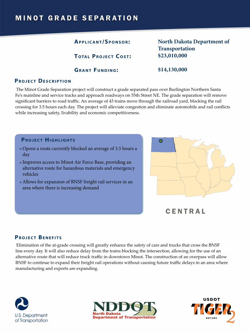
M i n o t G r a d e S e p a r a t i o n
A p p l i c A n t /S p o n S o r :
t o tA l p r o j e c t c o S t :
G r A n t F u n d i n G :
North Dakota Department ofTransportation$23,010,000
$14,130,000
The Minot Grade Separation project will construct a grade separated pass over Burlington Northern Santa Fe’s mainline and service tracks and approach roadways on 55th Street NE. The grade separation will remove significant barriers to road traffic. An average of 43 trains move through the railroad yard, blocking the rail crossing for 3.5 hours each day. The project will alleviate congestion and eliminate automobile and rail conflicts while increasing safety, livability and economic competitiveness.
p r o j e c t d e S c r i p t i o n
p r o j e c t H i G H l i G H t S
»» Opens a route currently blocked an average of 3.5 hours a day»» Improves access to Minot Air Force Base, providing an alternative route for hazardous materials and emergency vehicles»» Allows for expansion of BNSF freight rail services in an area where there is increasing demand
Elimination of the at-grade crossing will greatly enhance the safety of cars and trucks that cross the BNSF line every day. It will also reduce delay from the trains blocking the intersection, allowing for the use of an alternative route that will reduce truck traffic in downtown Minot. The construction of an overpass will allow BNSF to continue to expand their freight rail operations without causing future traffic delays in an area where manufacturing and exports are expanding.
p r o j e c t B e n e F i t S
C e n t r a l
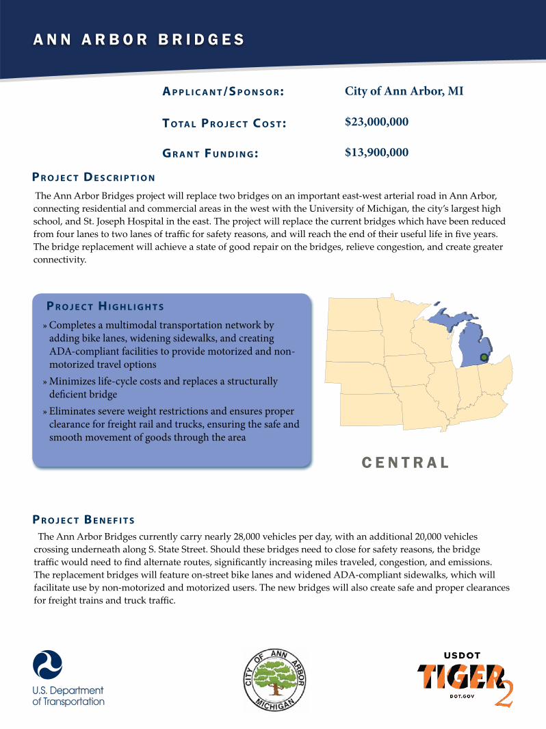
A n n A r b o r b r i d g e s
A p p l i c A n t /S p o n S o r :
t o tA l p r o j e c t c o S t :
G r A n t F u n d i n G :
City of Ann Arbor, MI
$23,000,000
$13,900,000
The Ann Arbor Bridges project will replace two bridges on an important east-west arterial road in Ann Arbor, connecting residential and commercial areas in the west with the University of Michigan, the city’s largest high school, and St. Joseph Hospital in the east. The project will replace the current bridges which have been reduced from four lanes to two lanes of traffic for safety reasons, and will reach the end of their useful life in five years. The bridge replacement will achieve a state of good repair on the bridges, relieve congestion, and create greater connectivity.
p r o j e c t d e S c r i p t i o n
p r o j e c t H i G H l i G H t S
»» Completes a multimodal transportation network by adding bike lanes, widening sidewalks, and creating ADA-compliant facilities to provide motorized and non-motorized travel options»» Minimizes life-cycle costs and replaces a structurally deficient bridge »» Eliminates severe weight restrictions and ensures proper clearance for freight rail and trucks, ensuring the safe and smooth movement of goods through the area
The Ann Arbor Bridges currently carry nearly 28,000 vehicles per day, with an additional 20,000 vehicles crossing underneath along S. State Street. Should these bridges need to close for safety reasons, the bridge traffic would need to find alternate routes, significantly increasing miles traveled, congestion, and emissions. The replacement bridges will feature on-street bike lanes and widened ADA-compliant sidewalks, which will facilitate use by non-motorized and motorized users. The new bridges will also create safe and proper clearances for freight trains and truck traffic.
p r o j e c t B e n e F i t S
C e n t r A l

U n i v e r s i t y - C e d a r r a p i d t r a n s i t s t a t i o n
A p p l i c A n t /S p o n S o r :
t o tA l p r o j e c t c o S t :
G r A n t F u n d i n G :
Greater Cleveland Regional Transit Authority$31,907,783
$10,500,000
The project will reconstruct the University-Cedar Rapid Transit Station (RTS), including road, bridge, bicycle, and pedestrian access to the station. The University-Cedar RTS and Bus Terminal has high ridership and is the busiest east-side bus terminal in Cleveland. The project will relocate the bus terminal and address safety concerns due to the complex traffic patterns around the station, reconstruct the station itself, provide better lighting and more visibility, and increase bicycle and pedestrian pathways to facilitate easier multimodal connections. Relocating the terminal will eliminate crossings for university students and reduce crossings for high school students by over 50%, improving pedestrian connection and safety.
p r o j e c t d e S c r i p t i o n
p r o j e c t H i G H l i G H t S
»» Enhances the connection between bus and rail by providing a fully accessible transfer with significantly improved passenger information, security, and amenities»» Incorporates bicycle paths and amenities to foster more usage of a sustainable and healthy transportation mode choice and increases the station’s footprint beyond walking»» Fosters livable communities by increasing transportation choices and access in an economically disadvantaged area
Renovating the University-Cedar RTS and Bus Terminal will increase the safety and livability of the University Circle neighborhood of Cleveland. It will also bring the station into a state of good repair, eliminating significant non-preventative maintenance costs. The project will also benefit the environment by making transit a more attractive option for nearby residents and students. Investment in this critical transportation hub will help the city of Cleveland maintain a viable and important transit network.
p r o j e c t B e n e F i t S
C e n t r a l
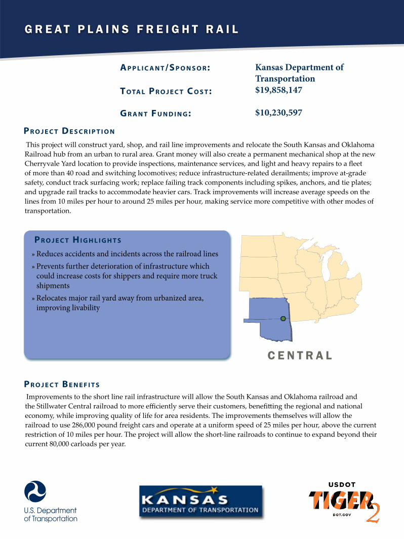
G r e a t P l a i n s F r e i G h t r a i l
A p p l i c A n t /S p o n S o r :
t o tA l p r o j e c t c o S t :
G r A n t F u n d i n G :
Kansas Department of Transportation$19,858,147
$10,230,597
This project will construct yard, shop, and rail line improvements and relocate the South Kansas and Oklahoma Railroad hub from an urban to rural area. Grant money will also create a permanent mechanical shop at the new Cherryvale Yard location to provide inspections, maintenance services, and light and heavy repairs to a fleet of more than 40 road and switching locomotives; reduce infrastructure-related derailments; improve at-grade safety, conduct track surfacing work; replace failing track components including spikes, anchors, and tie plates; and upgrade rail tracks to accommodate heavier cars. Track improvements will increase average speeds on the lines from 10 miles per hour to around 25 miles per hour, making service more competitive with other modes of transportation.
p r o j e c t d e S c r i p t i o n
p r o j e c t H i G H l i G H t S
»» Reduces accidents and incidents across the railroad lines»» Prevents further deterioration of infrastructure which could increase costs for shippers and require more truck shipments»» Relocates major rail yard away from urbanized area, improving livability
Improvements to the short line rail infrastructure will allow the South Kansas and Oklahoma railroad and the Stillwater Central railroad to more efficiently serve their customers, benefitting the regional and national economy, while improving quality of life for area residents. The improvements themselves will allow the railroad to use 286,000 pound freight cars and operate at a uniform speed of 25 miles per hour, above the current restriction of 10 miles per hour. The project will allow the short-line railroads to continue to expand beyond their current 80,000 carloads per year.
p r o j e c t B e n e F i t S
C e n t r a l
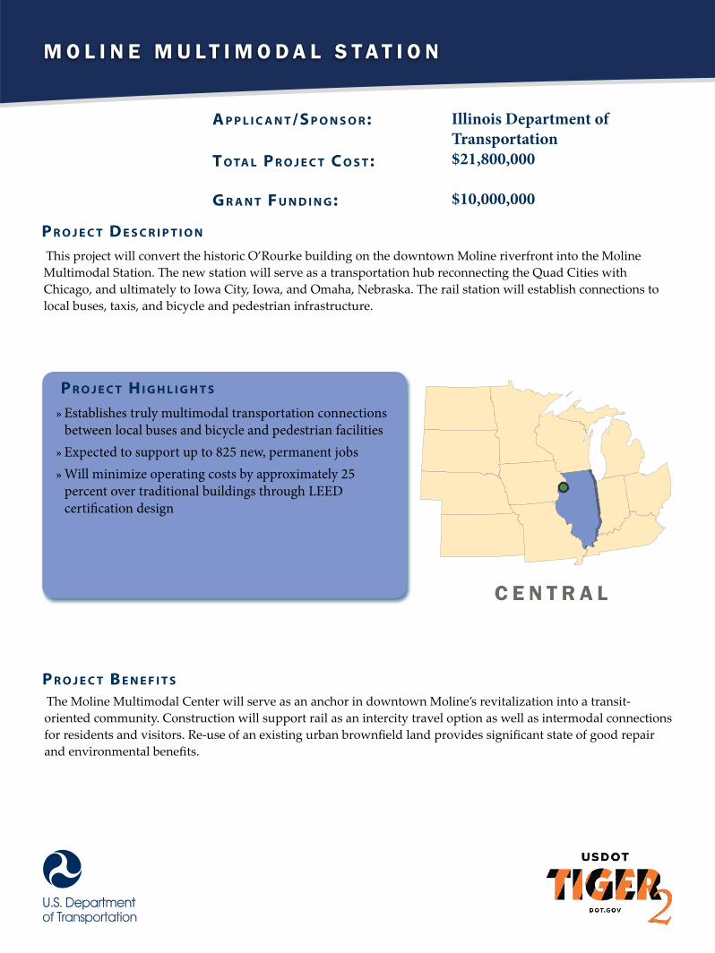
M o l i n e M u l t i M o d a l S t a t i o n
A p p l i c A n t /S p o n S o r :
t o tA l p r o j e c t c o S t :
G r A n t F u n d i n G :
Illinois Department of Transportation$21,800,000
$10,000,000
This project will convert the historic O’Rourke building on the downtown Moline riverfront into the Moline Multimodal Station. The new station will serve as a transportation hub reconnecting the Quad Cities with Chicago, and ultimately to Iowa City, Iowa, and Omaha, Nebraska. The rail station will establish connections to local buses, taxis, and bicycle and pedestrian infrastructure.
p r o j e c t d e S c r i p t i o n
p r o j e c t H i G H l i G H t S
»» Establishes truly multimodal transportation connections between local buses and bicycle and pedestrian facilities»» Expected to support up to 825 new, permanent jobs »» Will minimize operating costs by approximately 25 percent over traditional buildings through LEED certification design
The Moline Multimodal Center will serve as an anchor in downtown Moline’s revitalization into a transit-oriented community. Construction will support rail as an intercity travel option as well as intermodal connections for residents and visitors. Re-use of an existing urban brownfield land provides significant state of good repair and environmental benefits.
p r o j e c t B e n e F i t S
C e n t r a l
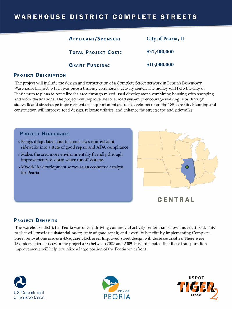
W a r e h o u s e D i s t r i c t c o m p l e t e s t r e e t s
A p p l i c A n t /S p o n S o r :
t o tA l p r o j e c t c o S t :
G r A n t F u n d i n G :
City of Peoria, IL
$37,400,000
$10,000,000
The project will include the design and construction of a Complete Street network in Peoria’s Downtown Warehouse District, which was once a thriving commercial activity center. The money will help the City of Peoria pursue plans to revitalize the area through mixed-used development, combining housing with shopping and work destinations. The project will improve the local road system to encourage walking trips through sidewalk and streetscape improvements in support of mixed-use development on the 185-acre site. Planning and construction will improve road design, relocate utilities, and enhance the streetscape and sidewalks.
p r o j e c t d e S c r i p t i o n
p r o j e c t H i G H l i G H t S
»» Brings dilapidated, and in some cases non-existent, sidewalks into a state of good repair and ADA compliance»» Makes the area more environmentally friendly through improvements to storm water runoff systems»» Mixed-Use development serves as an economic catalyst for Peoria
The warehouse district in Peoria was once a thriving commercial activity center that is now under utilized. This project will provide substantial safety, state of good repair, and livability benefits by implementing Complete Street renovations across a 43-square block area. Improved street design will decrease crashes. There were 139 intersection crashes in the project area between 2007 and 2009. It is anticipated that these transportation improvements will help revitalize a large portion of the Peoria waterfront.
p r o j e c t B e n e F i t S
c e n t r a l
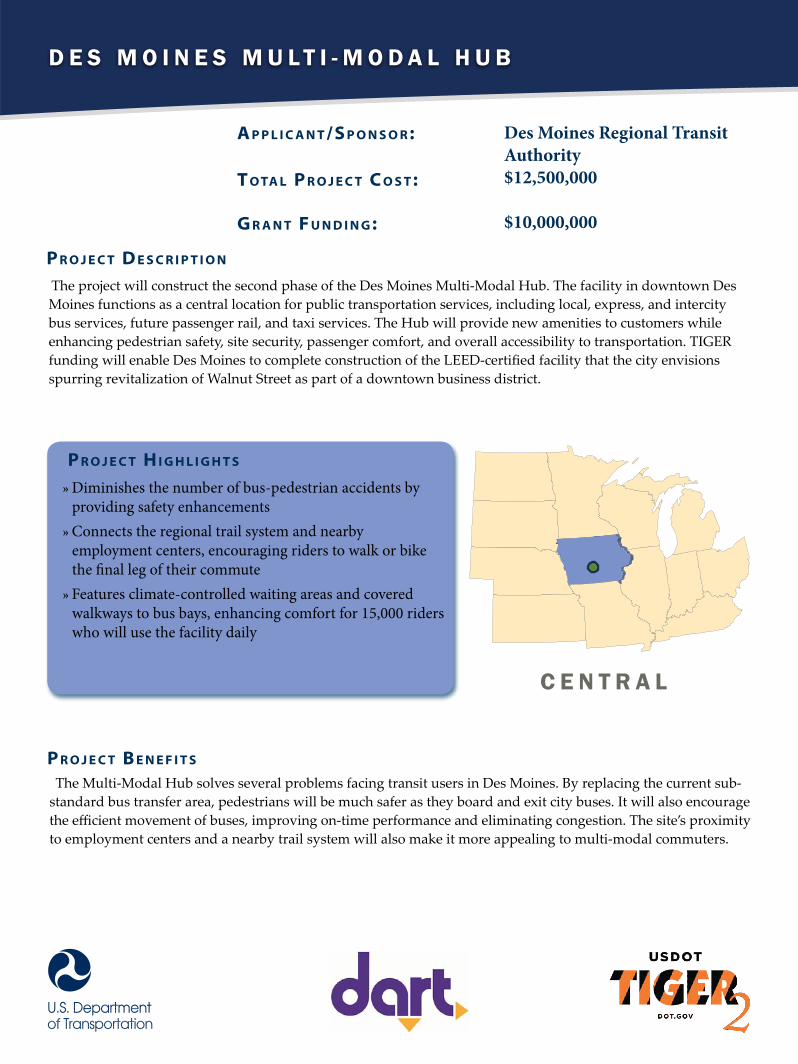
D e s M o i n e s M u l t i - M o D a l H u b
A p p l i c A n t /S p o n S o r :
t o tA l p r o j e c t c o S t :
G r A n t F u n d i n G :
Des Moines Regional TransitAuthority$12,500,000
$10,000,000
The project will construct the second phase of the Des Moines Multi‐Modal Hub. The facility in downtown Des Moines functions as a central location for public transportation services, including local, express, and intercity bus services, future passenger rail, and taxi services. The Hub will provide new amenities to customers while enhancing pedestrian safety, site security, passenger comfort, and overall accessibility to transportation. TIGER funding will enable Des Moines to complete construction of the LEED-certified facility that the city envisions spurring revitalization of Walnut Street as part of a downtown business district.
p r o j e c t d e S c r i p t i o n
p r o j e c t H i G H l i G H t S
»» Diminishes the number of bus-pedestrian accidents by providing safety enhancements»» Connects the regional trail system and nearby employment centers, encouraging riders to walk or bike the final leg of their commute»» Features climate-controlled waiting areas and covered walkways to bus bays, enhancing comfort for 15,000 riders who will use the facility daily
The Multi‐Modal Hub solves several problems facing transit users in Des Moines. By replacing the current sub‐standard bus transfer area, pedestrians will be much safer as they board and exit city buses. It will also encourage the efficient movement of buses, improving on-time performance and eliminating congestion. The site’s proximity to employment centers and a nearby trail system will also make it more appealing to multi‐modal commuters.
p r o j e c t B e n e F i t S
C e n t r a l
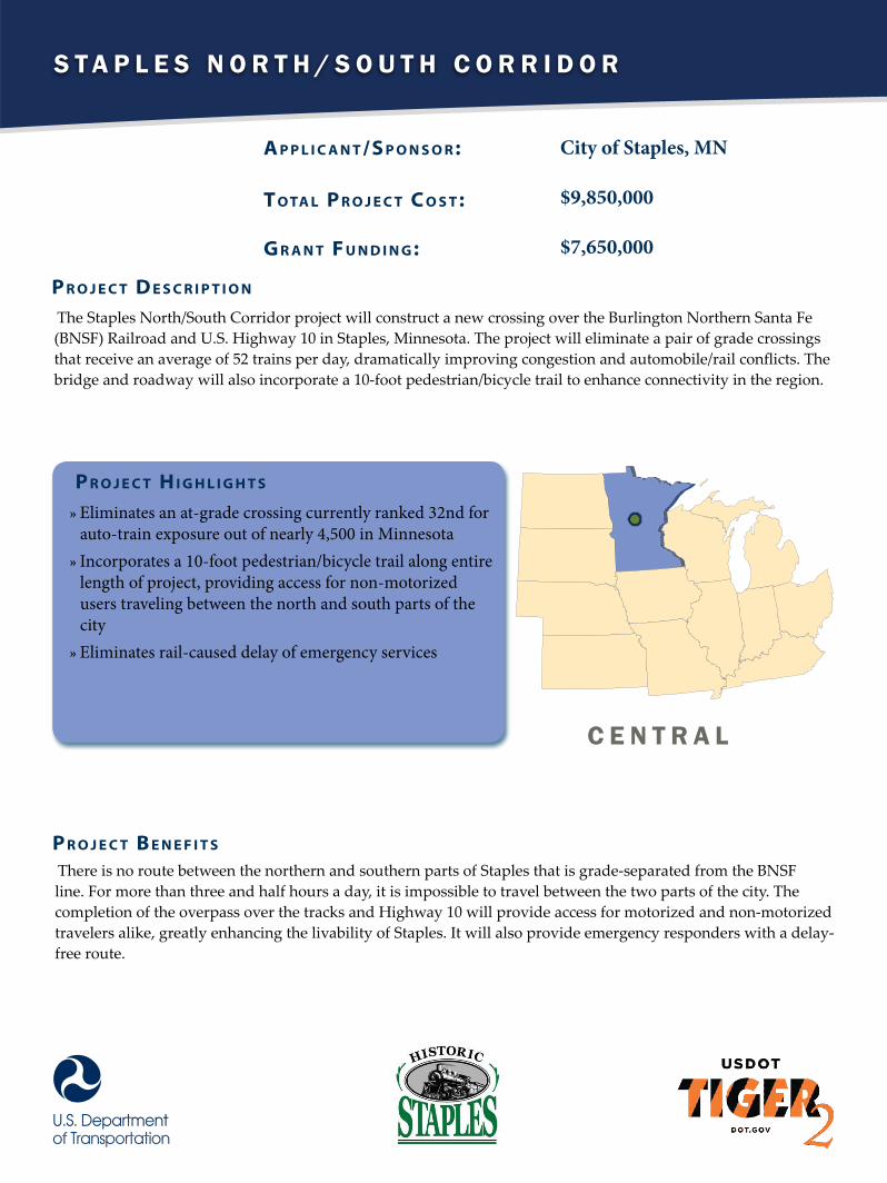
S t a p l e S N o r t h / S o u t h C o r r i d o r
A p p l i c A n t /S p o n S o r :
t o tA l p r o j e c t c o S t :
G r A n t F u n d i n G :
City of Staples, MN
$9,850,000
$7,650,000
The Staples North/South Corridor project will construct a new crossing over the Burlington Northern Santa Fe (BNSF) Railroad and U.S. Highway 10 in Staples, Minnesota. The project will eliminate a pair of grade crossings that receive an average of 52 trains per day, dramatically improving congestion and automobile/rail conflicts. The bridge and roadway will also incorporate a 10-foot pedestrian/bicycle trail to enhance connectivity in the region.
p r o j e c t d e S c r i p t i o n
p r o j e c t H i G H l i G H t S
»» Eliminates an at-grade crossing currently ranked 32nd for auto-train exposure out of nearly 4,500 in Minnesota»» Incorporates a 10-foot pedestrian/bicycle trail along entire length of project, providing access for non-motorized users traveling between the north and south parts of the city»» Eliminates rail-caused delay of emergency services
There is no route between the northern and southern parts of Staples that is grade-separated from the BNSF line. For more than three and half hours a day, it is impossible to travel between the two parts of the city. The completion of the overpass over the tracks and Highway 10 will provide access for motorized and non-motorized travelers alike, greatly enhancing the livability of Staples. It will also provide emergency responders with a delay-free route.
p r o j e c t B e n e F i t S
C e N t r a l
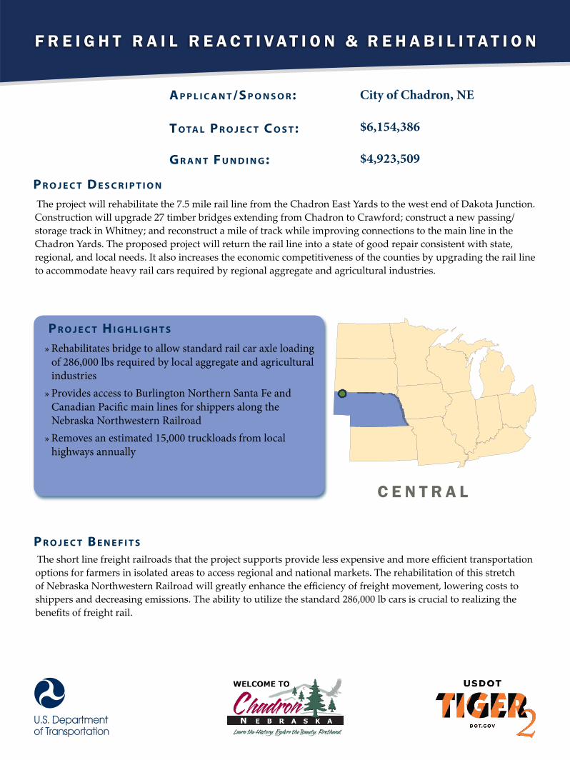
F r e i g h t r a i l r e a c t i v a t i o n & r e h a b i l i t a t i o n
A p p l i c A n t /S p o n S o r :
t o tA l p r o j e c t c o S t :
G r A n t F u n d i n G :
City of Chadron, NE
$6,154,386
$4,923,509
The project will rehabilitate the 7.5 mile rail line from the Chadron East Yards to the west end of Dakota Junction. Construction will upgrade 27 timber bridges extending from Chadron to Crawford; construct a new passing/storage track in Whitney; and reconstruct a mile of track while improving connections to the main line in the Chadron Yards. The proposed project will return the rail line into a state of good repair consistent with state, regional, and local needs. It also increases the economic competitiveness of the counties by upgrading the rail line to accommodate heavy rail cars required by regional aggregate and agricultural industries.
p r o j e c t d e S c r i p t i o n
p r o j e c t H i G H l i G H t S
»» Rehabilitates bridge to allow standard rail car axle loading of 286,000 lbs required by local aggregate and agricultural industries»» Provides access to Burlington Northern Santa Fe and Canadian Pacific main lines for shippers along the Nebraska Northwestern Railroad»» Removes an estimated 15,000 truckloads from local highways annually
The short line freight railroads that the project supports provide less expensive and more efficient transportation options for farmers in isolated areas to access regional and national markets. The rehabilitation of this stretch of Nebraska Northwestern Railroad will greatly enhance the efficiency of freight movement, lowering costs to shippers and decreasing emissions. The ability to utilize the standard 286,000 lb cars is crucial to realizing the benefits of freight rail.
p r o j e c t B e n e F i t S
c e n t r a l
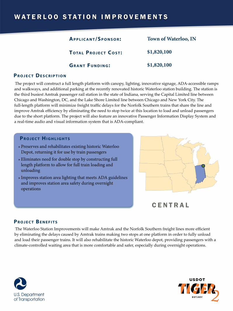
W a t e r l o o S t a t i o n i m p r o v e m e n t S
A p p l i c A n t /S p o n S o r :
t o tA l p r o j e c t c o S t :
G r A n t F u n d i n G :
Town of Waterloo, IN
$1,820,100
$1,820,100
The project will construct a full length platform with canopy, lighting, innovative signage, ADA-accessible ramps and walkways, and additional parking at the recently renovated historic Waterloo station building. The station is the third busiest Amtrak passenger rail station in the state of Indiana, serving the Capital Limited line between Chicago and Washington, DC, and the Lake Shore Limited line between Chicago and New York City. The full-length platform will minimize freight traffic delays for the Norfolk Southern trains that share the line and improve Amtrak efficiency by eliminating the need to stop twice at this location to load and unload passengers due to the short platform. The project will also feature an innovative Passenger Information Display System and a real-time audio and visual information system that is ADA-compliant.
p r o j e c t d e S c r i p t i o n
p r o j e c t H i G H l i G H t S
»» Preserves and rehabilitates existing historic Waterloo Depot, returning it for use by train passengers»» Eliminates need for double stop by constructing full length platform to allow for full train loading and unloading»» Improves station area lighting that meets ADA guidelines and improves station area safety during overnight operations
The Waterloo Station Improvements will make Amtrak and the Norfolk Southern freight lines more efficient by eliminating the delays caused by Amtrak trains making two stops at one platform in order to fully unload and load their passenger trains. It will also rehabilitate the historic Waterloo depot, providing passengers with a climate-controlled waiting area that is more comfortable and safer, especially during overnight operations.
p r o j e c t B e n e F i t S
C e n t r a l

S O U T H

A t l A n t A S t r e e t c A r
A p p l i c A n t /S p o n S o r :
t o tA l p r o j e c t c o S t :
G r A n t F u n d i n G :
City of Atlanta, GA
$72,158,000
$47,667,777
The Atlanta Streetcar project, a product of the relationship between the city of Atlanta, the Atlanta business community and the Metropolitan Atlanta Rapid Transit Authority (MARTA), will provide new and enhanced transit options in the city’s core. The project, which connects to the existing MARTA light-rail system at Peachtree Center, will be 2.7 miles of track and four streetcars that operate between 12 stations. The streetcars will travel counter clockwise along a loop that converges at Woodruff Park. From Woodruff Park at the center of the loop, streetcars will operate eastbound via Park Place, Edgewood Avenue, and Jackson Street to the Martin Luther King Jr. Historic Site, then continue westbound via Auburn Avenue, Peachtree Street, Ellis Street, Carnegie Way
and Andrew Young International Boulevard to Centennial Olympic Park Drive, then continue eastbound via Luckie Street to Woodruff Park.
p r o j e c t d e S c r i p t i o n
p r o j e c t H i G H l i G H t S
»» Connects directly with MARTA heavy rail, 22 regional express bus routes, 10 local bus routes, and seven city bicycle routes.»» Provides service to over 7,000 people who live within a quarter mile of the streetcar and over 4.7 million tourists and 1.38 million conventioneers who visit downtown Atlanta every year.»» Provides service to students from Georgia State University as well as the 688,000 patients who visit Grady Memorial Hospital and Children’s Healthcare of Atlanta at its Downtown Hughes Spalding location every year.
The Atlanta Streetcar project will provide residents, students and visitors with easy access to attractions, jobs and public amenities in the core of Downtown Atlanta without a car. Located within an economically distressed area, the project will help spur new pedestrian-oriented development, support mixed-use projects, and reinforce existing land use and zoning plans. It will also reconnect the eastern and western sections of downtown, which have been separated since Interstate 75/85 was built in the 1950s.
p r o j e c t B e n e F i t S
S O U t H
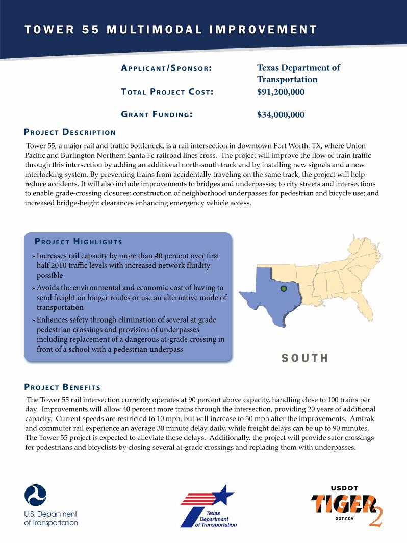
T o w e r 5 5 M u l T i M o d a l i M p r o v e M e n T
A p p l i c A n t /S p o n S o r :
t o tA l p r o j e c t c o S t :
G r A n t F u n d i n G :
Texas Department of Transportation$91,200,000
$34,000,000
Tower 55, a major rail and traffic bottleneck, is a rail intersection in downtown Fort Worth, TX, where Union Pacific and Burlington Northern Santa Fe railroad lines cross. The project will improve the flow of train traffic through this intersection by adding an additional north-south track and by installing new signals and a new interlocking system. By preventing trains from accidentally traveling on the same track, the project will help reduce accidents. It will also include improvements to bridges and underpasses; to city streets and intersections to enable grade-crossing closures; construction of neighborhood underpasses for pedestrian and bicycle use; and increased bridge-height clearances enhancing emergency vehicle access.
p r o j e c t d e S c r i p t i o n
p r o j e c t H i G H l i G H t S
»» Increases rail capacity by more than 40 percent over first half 2010 traffic levels with increased network fluidity possible»» Avoids the environmental and economic cost of having to send freight on longer routes or use an alternative mode of transportation»» Enhances safety through elimination of several at grade pedestrian crossings and provision of underpasses including replacement of a dangerous at-grade crossing in front of a school with a pedestrian underpass
The Tower 55 rail intersection currently operates at 90 percent above capacity, handling close to 100 trains per day. Improvements will allow 40 percent more trains through the intersection, providing 20 years of additional capacity. Current speeds are restricted to 10 mph, but will increase to 30 mph after the improvements. Amtrak and commuter rail experience an average 30 minute delay daily, while freight delays can be up to 90 minutes. The Tower 55 project is expected to alleviate these delays. Additionally, the project will provide safer crossings for pedestrians and bicyclists by closing several at-grade crossings and replacing them with underpasses.
p r o j e c t B e n e F i t S
S o u T h

P o r t o f M i a M i r a i l a c c e s s
A p p l i c A n t /S p o n S o r :
t o tA l p r o j e c t c o S t :
G r A n t F u n d i n G :
Miami-Dade County
$46,907,800
$22,767,000
Tiger II dollars will help establish intermodal container rail service to the Port of Miami by building an intermodal yard and making necessary rail and bridge improvements. Specifically, the project will upgrade rail, signals and switching between the Florida East Coast Railroad (FEC) Hialeah rail yard (adjacent to the Miami International Airport) and the Port. In addition, the Tiger II dollars will be used to create an intermodal container rail transfer facility complete with a crane at the Port, and to pay for electrical, mechanical and structural repairs on the rail bridge to the Port.
p r o j e c t d e S c r i p t i o n
p r o j e c t H i G H l i G H t S
»» Eliminates an estimated six million 17-mile truck trips between the Port of Miami and the Hialeah Yard»» Reduces Greenhouse Gas emissions by an expected 211,320 tons over 20 years»» Enhances efficiency of major port for U.S. exports to Central and South America
The Port of Miami (POM), the largest in Florida and the eleventh largest container port in the US, has no railway access. The project will correct this situation by reconstructing and rehabilitating the existing unused rail line from the POM to the main Florida East Coast (FEC) Railway line, and by constructing an efficient on-port intermodal yard. The new rail link will reconnect the Port with the FEC, and provide access to the Hialeah intermodal rail yard terminal located in unincorporated Miami-Dade County. Additionally, a direct rail connection will reduce truck trips and congestion and increase efficiency by providing direct service from the POM to intermodal rail yards in Jacksonville and the rest of the national rail system.
p r o j e c t B e n e F i t S
s o u t h
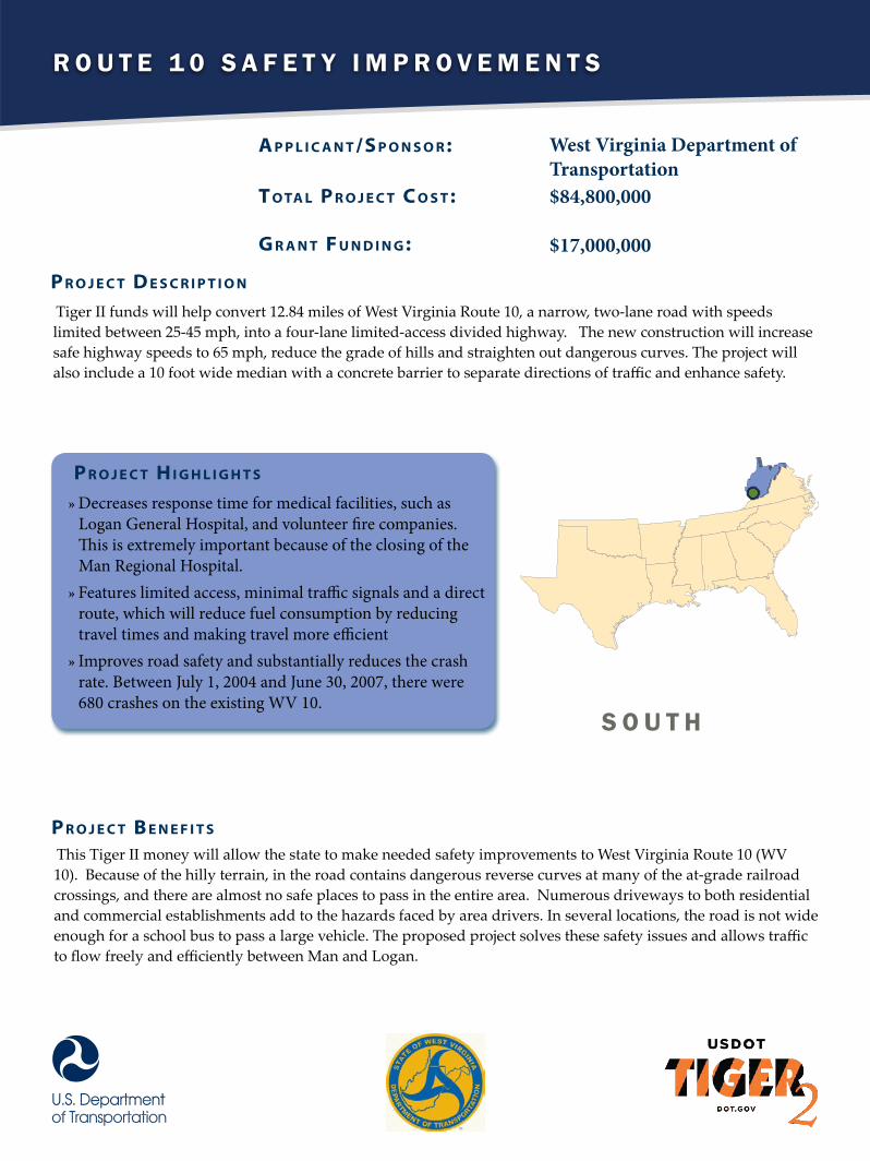
R o u t e 1 0 S a f e t y I m p R o v e m e n t S
A p p l i c A n t /S p o n S o r :
t o tA l p r o j e c t c o S t :
G r A n t F u n d i n G :
West Virginia Department of Transportation$84,800,000
$17,000,000
Tiger II funds will help convert 12.84 miles of West Virginia Route 10, a narrow, two-lane road with speeds limited between 25-45 mph, into a four-lane limited-access divided highway. The new construction will increase safe highway speeds to 65 mph, reduce the grade of hills and straighten out dangerous curves. The project will also include a 10 foot wide median with a concrete barrier to separate directions of traffic and enhance safety.
p r o j e c t d e S c r i p t i o n
p r o j e c t H i G H l i G H t S
»» Decreases response time for medical facilities, such as Logan General Hospital, and volunteer fire companies. This is extremely important because of the closing of the Man Regional Hospital.»» Features limited access, minimal traffic signals and a direct route, which will reduce fuel consumption by reducing travel times and making travel more efficient»» Improves road safety and substantially reduces the crash rate. Between July 1, 2004 and June 30, 2007, there were 680 crashes on the existing WV 10.
This Tiger II money will allow the state to make needed safety improvements to West Virginia Route 10 (WV 10). Because of the hilly terrain, in the road contains dangerous reverse curves at many of the at-grade railroad crossings, and there are almost no safe places to pass in the entire area. Numerous driveways to both residential and commercial establishments add to the hazards faced by area drivers. In several locations, the road is not wide enough for a school bus to pass a large vehicle. The proposed project solves these safety issues and allows traffic to flow freely and efficiently between Man and Logan.
p r o j e c t B e n e F i t S
S o u t h

R a z o R b a c k R e g i o n a l g R e e n w a y
A p p l i c A n t /S p o n S o r :
t o tA l p r o j e c t c o S t :
G r A n t F u n d i n G :
Benton & Washington Counties, AR$38,497,618
$15,000,000
The Razorback Regional Greenway is a 36 mile bike and pedestrian network traversing the towns of Bentonville, Rogers, Lowell, Springdale, Johnson, and Fayetteville in Northwest Arkansas. Philanthropic funds have already paid for 14.2 miles of Greenway. Money from TIGER II funds and additional philanthropic sources will complete additional portions of the network. Currently only three percent of residents in the area walk, bike or use transit. According to projections, completion of the Greenway could triple the number of non-automobile trips by providing access to major employers like Wal-Mart HQ, Tyson Foods HQ, JB Hunt HQ, and the University of Arkansas. All five city mayors and many area companies back the Greenway project as a valuable example of bicycle and pedestrian-friendly infrastructure.
p r o j e c t d e S c r i p t i o n
p r o j e c t H i G H l i G H t S
»» Gives commuters travel options to several major employment centers along the length of the corridor»» Enjoys high levels of public and private philanthropic support»» Alleviates congestion in an area that expects to double in population in the next 15 years
This project has strong ramifications for active transportation, green infrastructure, healthy living, equitable and sustainable economic development, and public-private partnerships. The Razorback Greenway will support the Safe Routes to Schools program, provide access to transit, encourage bike and pedestrian work commutes and support recreation and tourism. The proposed Greenway is an example of an effort to build a sustainable future by providing transportation choices, economic development, and opportunities for active living. Once complete, the greenway will link six downtown areas, three major hospitals, 23 schools, employment centers of regional and national importance, commercial areas and historic sites and parks.
p r o j e c t B e n e F i t S
S o u t h

N W T e N N e s s e e - P o r T a T C a T e s L a N d i N g
A p p l i c A n t /S p o n S o r :
t o tA l p r o j e c t c o S t :
G r A n t F u n d i n G :
Tennessee Department of Transportation$16,000,000
$13,000,000
Tiger II dollars will be used to build a port and harbor facility on the Mississippi River, at Cates Landing in Tennessee. Dock facilities will be constructed and additional, necessary, on-site improvements will be made to create a connection between barge traffic at the port and truck freight movement. The port will be the deepest between Baton Rouge and St. Louis. The project is near multiple interstates and will be constructed following the guidelines of Clean Ports USA. It is also supported by numerous public and private entities.
p r o j e c t d e S c r i p t i o n
p r o j e c t H i G H l i G H t S
»» Allows the Port to begin operating, with more than $33 million already spent, creating a 9,000 foot deep harbor channel and improving road access to the site.»» Supports economic development in one of the poorest areas of the country, with over 37 percent of residents living beneath the poverty line
The Port at Cates Landing will create a new multimodal alternative for freight. Cates Landing has two specific benefits: its centralized location and its resistance to floods and droughts. . Investment in the new port facility will reinvigorate an economically distressed area where more than one-third of the residents live below the poverty level.
p r o j e c t B e n e F i t S
s o u T h

P a r r a m o r e B u s r a P i d T r a n s i T
A p p l i c A n t /S p o n S o r :
t o tA l p r o j e c t c o S t :
G r A n t F u n d i n G :
City of Orlando, FL
$106,122,377
$10,000,000
The Parramore Bus Rapid Transit (BRT) project will add a 1.9 mile BRT route to the existing 2.5 mile LYNX/ LYMMO BRT system west of Interstate 4. The extension will connect residents of Parramore, Orlando’s lowest income neighborhood, to the LYNX Central Station – a major hub for transit with a planned 2013 opening. The project takes advantage of a series of recent underpass improvements within Parramore to eliminate the long standing east- west divide in the city caused by Interstate 4.
p r o j e c t d e S c r i p t i o n
p r o j e c t H i G H l i G H t S
»» Establishes connections between a low-income neighborhood with employment and educational opportunities opened by recent underpass developments below Interstate 4»» Creates regional links with existing BRT, intercity and multi-modal transportation options, expanding neighborhood accessibility.
The project will link the Parramore neighborhood to commuter rail, bike and pedestrian facilities. The BRT has stops planned for local activity centers including Nap Ford Community School, Callahan Neighborhood Center, Parramore Heritage Park, Orlando CityView Apartments, the Federal Courthouse and the Florida A&M Law School. New connections for residents of Orlando’s most disadvantaged neighborhood will link the project’s BRT line with existing BRT services and re-introduce connectivity across Interstate 4, a long-recognized barrier for east-west travel. This new route will link residents in Parramore with jobs and education opportunities in the area.
p r o j e c t B e n e F i t S
s o u T h

P o r t M a n a t e e M a r i n e H i g H w a y
A p p l i c A n t /S p o n S o r :
t o tA l p r o j e c t c o S t :
G r A n t F u n d i n G :
Manatee CO. Port Authority
$32,135,000
$9,000,000
The Port Manatee project will allow the Port to become an important part of the Marine Highway program. A 32 acre container terminal, 20 acres of which will be paid for with Tiger II funds, will be constructed adjacent to the existing 1,000 foot berth. The yard will expand the Port’s cargo storage capacity both for the Marine Highway operation and for other tenants.
p r o j e c t d e S c r i p t i o n
p r o j e c t H i G H l i G H t S
»» Accommodates the short sea shipping of goods, rather than trucking them longer distances, decreasing congestion and emissions, and increasing safety»» Improves the efficiency of freight movement because 60 percent of the freight entering Port Manatee leaves by rail »» Achieves substantial environmental benefits as freight moves from truck to barge and rail
This project will serve the growing region and capitalize on Port Manatee’s position on the M-10 marine highway. Port Manatee also operates its own rail line with connections to CSX. This rail infrastructure will enhance the Port’s ability to move cargo from across the gulf coast while decreasing truck traffic on parallel highways.
p r o j e c t B e n e F i t S
S o u t H

S t a t e U n i v e r S i t y C o m p l e t e S t r e e t S
A p p l i c A n t /S p o n S o r :
t o tA l p r o j e c t c o S t :
G r A n t F u n d i n G :
City of Fort Valley, GA
$1,740,000
$1,491,490
This project will construct streetscape improvements and widen approximately one quarter mile of State University Drive in the vicinity of Fort Valley State University, in Fort Valley, Georgia. Currently, only a portion of State University Drive has a 2-lane, center turn lane configuration with sidewalks. This project will widen a portion of this roadway, creating a 2-lane, center turn lane configuration to match the other section of the roadway. The project will provide a system of sidewalks and crosswalks between downtown Fort Valley and FVSU. For the portion of State University Drive that has an existing sidewalk and 3-lane roadway, the project will add median landscaping to create a safer and more walkable environment for the university’s growing student population and the residents of Fort Valley.
p r o j e c t d e S c r i p t i o n
p r o j e c t H i G H l i G H t S
»» Encourages greater pedestrian and bicycle usage along the State Street corridor through Complete Streets improvements»» Incorporates proper turn lanes to increase vehicular safety and decrease congestion
This project will widen the road to match existing improved portions of State University Drive and construct improvements to provide safe bicycle and pedestrian options along the route. The safety and aesthetic improvements are expected to spur economic development, create jobs, attract equitable, affordable housing and increase the quality of life for the residents of the area and city of Fort Valley.
p r o j e c t B e n e F i t S
S o U t h
W E S T

S o u t h P a r k B r i d g e r e P l a c e m e n t
A p p l i c A n t /S p o n S o r :
t o tA l p r o j e c t c o S t :
G r A n t F u n d i n G :
King County Department of Transportation$130,700,000
$34,000,000
The South Park Bridge project will replace the 81-year-old regionally-significant South Park Bridge with a new drawbridge spanning the Duwamish Waterway south of Seattle in the Pacific Northwest’s largest manufacturing and industrial area. The bridge was closed on June 30, 2010 after receiving a sufficiency rating of four out of 100 and being declared unsafe. The new bridge design includes four eleven-foot lanes, two five-foot bicycle lanes, and two six-foot sidewalks. These wider lanes will significantly improve safety and operation of the bridge.
p r o j e c t d e S c r i p t i o n
p r o j e c t H i G H l i G H t S
»» Reduces travel time for local school bus routes and four heavily-used transit routes.»» Eliminates a nearly two-mile detour for thousands of employees. »» Reduces greenhouse gas emissions in the region by an estimated 420 tons, due to saved travel time and reduced congestion
The new South Park Bridge will serve as a connection for freight-heavy routes between the Port of Seattle, Union Pacific rail yards, King County International Airport (Boeing Field), and Seattle-Tacoma International Airport. The bridge provides one of only two crossings in the industrial area between Seattle and the southern cities, and used to carry over ten million tons of freight per year. That freight has been diverted to alternate routes since the bridge closed, including the 1st Avenue South Bridge, which was already carrying large amounts of freight traffic. Replacing South Park Bridge will relieve congestion related delays that cost an estimated $4 million per year.
p r o j e c t B e n e F i t S
W e S t
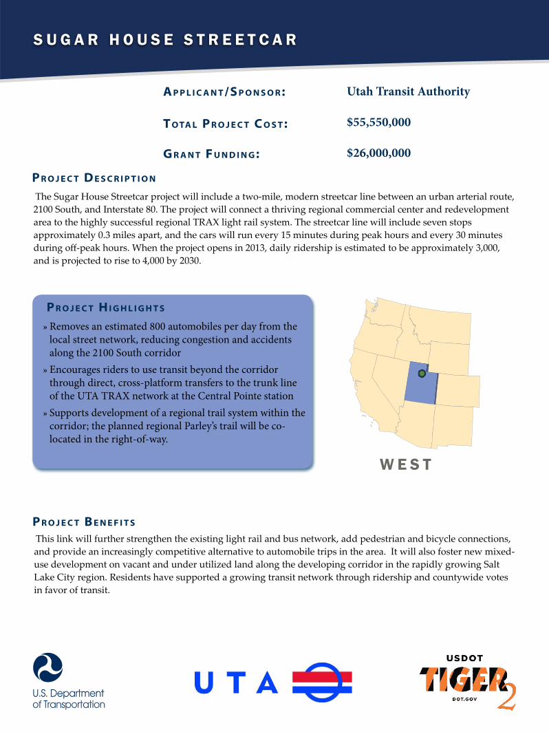
S u g a r H o u S e S t r e e t c a r
A p p l i c A n t /S p o n S o r :
t o tA l p r o j e c t c o S t :
G r A n t F u n d i n G :
Utah Transit Authority
$55,550,000
$26,000,000
The Sugar House Streetcar project will include a two-mile, modern streetcar line between an urban arterial route, 2100 South, and Interstate 80. The project will connect a thriving regional commercial center and redevelopment area to the highly successful regional TRAX light rail system. The streetcar line will include seven stops approximately 0.3 miles apart, and the cars will run every 15 minutes during peak hours and every 30 minutes during off-peak hours. When the project opens in 2013, daily ridership is estimated to be approximately 3,000, and is projected to rise to 4,000 by 2030.
p r o j e c t d e S c r i p t i o n
p r o j e c t H i G H l i G H t S
»» Removes an estimated 800 automobiles per day from the local street network, reducing congestion and accidents along the 2100 South corridor»» Encourages riders to use transit beyond the corridor through direct, cross-platform transfers to the trunk line of the UTA TRAX network at the Central Pointe station»» Supports development of a regional trail system within the corridor; the planned regional Parley’s trail will be co-located in the right-of-way.
This link will further strengthen the existing light rail and bus network, add pedestrian and bicycle connections, and provide an increasingly competitive alternative to automobile trips in the area. It will also foster new mixed-use development on vacant and under utilized land along the developing corridor in the rapidly growing Salt Lake City region. Residents have supported a growing transit network through ridership and countywide votes in favor of transit.
p r o j e c t B e n e F i t S
W e S t
C r e n s h a w / L a X L i g h t r a i L t i F i a s u b s i d y
A p p l i c A n t /S p o n S o r :
t o tA l p r o j e c t c o S t :
G r A n t F u n d i n G :
LA County Metropolitan Transportation Authority$1,715,000,000
$20,000,000
The Crenshaw/LAX Transit Corridor Project will build a new 8.5-mile light rail line that will connect the Exposition Line at Exposition/Crenshaw Station and the Metro Green Line. The alignment of the Crenshaw/LAX Transit Corridor Project is a combination of at-grade, below-grade, and above-grade sections. The project will include six to eight new stations, including: Exposition/Crenshaw, Crenshaw/Martin Luther King Jr., Crenshaw/Slauson, Florence/West, Florence/La Brea, and Aviation/Century and potentially two stops at Crenshaw/Vernon and Aviation/Manchester. The Aviation/Century Station will directly connect to LAX through the Automated People Mover, which will be constructed by Los Angeles World Airports (LAWA). TIGER II funds will be used to support a USDOT TIFIA loan of $546,000,000 dollars, approximately one-third of the total project cost. This project is a high-priority piece of the City’s 30/10 initiative, an effort to accelerate 12 major transit projects in just 10 years, rather than 30 years, using innovative financing backed by the voter approved Measure R sales tax.
p r o j e c t d e S c r i p t i o n
p r o j e c t H i G H l i G H t S
»»Advances Los Angeles’s 30/10 Initiative which enjoys broad based community support and is financed through revenue provided by a self-imposed voter-approved sales tax»» Provides accessibility for economically disadvantaged populations, senior citizens, and transit users»» Connects residents to employment opportunities, services, and education resources throughout the region and serve as a critical link to LAX, the primary commercial air transportation hub for Los Angeles
The Project will provide a critical north-south link in Los Angeles, connecting the South Bay Region and LAX Airport with major employment centers located in the Westside Region and the downtown area. The corridor will provide service to under served low-income communities in Los Angeles, Inglewood, and Hawthorne. In fact, approximately 23 percent of the population in the vicinity of the project is currently living below the poverty threshold, and over 49 percent of all households along the corridor are considered low-income. In addition to providing needed transportation options for these transit-dependent areas, the project will also reduce congestion and emissions by providing an alternative to driving.
p r o j e c t B e n e F i t S
w e s t
P o r t o f L o s A n g e L e s : W e s t B A s i n r A i L y A r d
A p p l i c A n t /S p o n S o r :
t o tA l p r o j e c t c o S t :
G r A n t F u n d i n G :
Port of Los Angeles, CA
$125,813,000
$16,000,000
The West Basin Railyard project will construct an intermodal railyard, which includes staging and storage tracks connecting on-dock railyards with the Alameda Corridor. It will also include a railyard for the short-line railroad serving Union Pacific, Burlington Northern Santa Fe, the Port of Los Angeles and the Port of Long Beach. And the project will remove two at-grade rail-highway crossings, relieving congestion.
p r o j e c t d e S c r i p t i o n
p r o j e c t H i G H l i G H t S
»» Mitigates disruptions to commercial activity that cost an estimated $9.1 billion per year, rising to $17.7 billion by the year 2035.»» Improves safety by reducing truck trips on I-710, which has highest accident rate in California, and by removing two at-grade rail-roadway crossings between a residential community and waterfront area»» Creates nearly 2,000 construction jobs in an economically distressed area
The West Basin Railyard will establish a link between the Port of Los Angeles and the Alameda Corridor, which carries approximately 15 percent of all waterborne containers entering and exiting the United States. By providing rail access from the dock to the Corridor, the project will eliminate nearly 2,300 daily truck trips on local roads and I-710. Allowing this freight to move more efficiently will reduce greenhouse gas emissions from the port, improve the safety and condition of existing roadways, and facilitate international commerce.
p r o j e c t B e n e F i t S
W e s t
C o o s B a y R a i l l i n e R e h a B i l i t a t i o n
A p p l i c A n t /S p o n S o r :
t o tA l p r o j e c t c o S t :
G r A n t F u n d i n G :
Oregon International Port of Coos Bay$14,573,133
$13,573,133
The Port of Coos Bay project will rehabilitate the track structure of the 133-mile Coos Bay Rail Link, which closed in 2007 as a result of deferred maintenance. Money received from the TIGER II program will be used to rehabilitate the entire track structure. Work activities will include replacement of worn-out rails, fasteners, and wood ties; re-establishment of proper surface, line, and dress of the track; drainage improvement of the track bed; and enhancing the ballast bed.
p r o j e c t d e S c r i p t i o n
p r o j e c t H i G H l i G H t S
»» Reduces truck shipments for former customers of the line, customers who currently face an average 330 mile truck dray, and puts the freight back on rail, decreasing costs by 20 percent»» Provides direct rail access for local businesses who can’t ship by truck»» Enhances the competitiveness of local and regional forest product exports
The project will reconnect the only natural deepwater coastal harbor port between San Francisco and Puget Sound to the national rail system, enable shippers of forest product to exploit higher speed and efficient rail shipping and provide an economic stimulus to Southwest Oregon. The 2007 rail closure adversely affected local shippers, forcing reduction in the levels of shipments or shipping by more expensive means. Rehabilitation of rail service will enable shippers to resume rail shipping at previous levels and create jobs in this rural area.
p r o j e c t B e n e F i t S
W e s t

E a s t B a y P E d E s t r i a n a n d B i c y c l E n E t w o r k
A p p l i c A n t /S p o n S o r :
t o tA l p r o j e c t c o S t :
G r A n t F u n d i n G :
East Bay Regional Park District
$43,300,000
$10,200,000
The East Bay Pedestrian and Bicycle Network will close several critical gaps in the nearly 200-mile bicycle and pedestrian trail system serving the 2.5 million residents of Contra Costa and Alameda counties in California. The project will separate bicycle and pedestrian traffic from automobile traffic, and connect to transit facilities. TIGER II funds will alleviate congested roads and highways by providing access to alternative commuting options, including local and commuter buses and the Bay Area Rapid Transit system.
p r o j e c t d e S c r i p t i o n
p r o j e c t H i G H l i G H t S
»» Serves an economically diverse population with segments in Albany, Berkeley, Dublin, Dumbarton, Oakland, Pleasanton and Union City»» Improves safety by separating bicyclists and pedestrians from heavily used motorized corridors»» Completes portions of a wider network of existing bicycle and pedestrian trails
In addition to establishing a robust bicycle and pedestrian transportation network across the two counties, the project will provide safe access to schools, employment centers and commercial activity and serve an economically and ethnically diverse population. The trail system delivers low-cost, healthy transportation choices in urban areas and will increase the area’s economic competitiveness by reducing transportation and health care costs while improving commuter access and mobility.
p r o j e c t B e n e F i t S
w E s t

S a n B e r n a r d i n o a i r p o r t a c c e S S
A p p l i c A n t /S p o n S o r :
t o tA l p r o j e c t c o S t :
G r A n t F u n d i n G :
City of Highand, CA
$21,800,000
$10,000,000
The San Bernardino Airport Access project will expand roadway capacity to provide safe, direct and efficient freeway access on SR 210 and Del Rosa Drive to the new San Bernardino International Airport. The project will widen the freeway interchange on the southbound SR 210 ramps at 5th Street, widen additional roadways, and improve drainage on 5th Street from SR 210 to Del Rosa Drive and along Del Rosa Drive between 5th Street and the primary airport entrance. The increase in roadway capacity will enable San Bernardino International Airport to increase cargo and passenger operations in a redevelopment on the former Norton Air Force Base site.
p r o j e c t d e S c r i p t i o n
p r o j e c t H i G H l i G H t S
»» Creates an estimated 392 new jobs as a direct result of investment in the proposed infrastructure»» Reduces congestion and improves efficiency and safety at the 5th Street and SR 210 interchange»» Strengthens the economic viability of and helps revitalize the industrial areas within San Bernardino and Highland adjacent to the airport
San Bernardino airport is only four miles from a major Burlington Northern Santa Fe (BNSF) intermodal facility and is surrounded by major interstate freeways including I-10, I-215 and SR-210, as well as I-15 and Highways 60 and 91. Goods that are brought to the San Bernardino region will be able to quickly and easily move east and northward to major markets without long delays from traffic congestion. The proposed infrastructure improvements will provide critical transportation support to the airport.
p r o j e c t B e n e F i t S
W e S t

W e s t V a n c o u V e r F r e i g h t a c c e s s
A p p l i c A n t /S p o n S o r :
t o tA l p r o j e c t c o S t :
G r A n t F u n d i n G :
Port of Vancouver, WA
$92,855,113
$10,000,000
The West Vancouver Freight Access project will construct a new rail access route to alleviate rail traffic congestion at the Port of Vancouver. The project will relocate facilities within the port to provide a new entryway into port terminals. It will also provide internal storage capacity that will accommodate multiple unit-trains more than 170 rail cars long and expand freight shipping capacity for the port to accommodate a new eight million ton per year potash facility and other new freight. TIGER II dollars will help the State of Washington and the Port complete this project.
p r o j e c t d e S c r i p t i o n
p r o j e c t H i G H l i G H t S
»» Eliminates a cross-track chokepoint across all rail lines»» Creates an estimated 400 permanent new jobs in two to five years, and up to 1,836 construction jobs per year, in a county with the highest unemployment rate (13.3 percent as of July 2010) in the state of Washington»» Supports the port’s commitment to expand its use of rail from 72 percent to 85 percent
The West Vancouver Freight Access project will create direct freight rail entry and exit from the port and eliminate the current switchback operation through the BNSF Railway Vancouver Yard. That, in turn, will reduce the possibility of train collisions and alleviate congestion on a freight rail corridor that is used daily by 10 passenger and 50 to 75 freight trains, reducing delays that currently run up to 45 minutes. It will also reduce at-grade crossing in the downtown core of the city, which will improve safety and reduce noise. In addition, the project will enhance commercial opportunities and boost U.S. exports from the region.
p r o j e c t B e n e F i t S
W e s t
W o o d s i d e B o u l e v a r d C o m p l e t e s t r e e t s
A p p l i c A n t /S p o n S o r :
t o tA l p r o j e c t c o S t :
G r A n t F u n d i n G :
City of Hailey, ID
$4,410,000
$3,500,000
The Woodside Boulevard Complete Street Initiative will rebuild a 35-year-old, 2.44 mile collector street, and add sidewalks, bike lanes, bus shelters, bike parking, a landscape buffer zone, and install a roundabout at a congested and unsafe intersection. A signal light will also be added at a second congested and unsafe intersection. The project will also add transit pull-out lanes and bus shelters to 17 of the 18 existing transit stops on Woodside Boulevard.
p r o j e c t d e S c r i p t i o n
p r o j e c t H i G H l i G H t S
»» Reduces greenhouse gas emissions by easing congestion at key intersections and encouraging walking, bicycling and public transit as alternative modes of transportation»» Improves transportation options and safety for children, seniors and the community at large»» Fosters a strong workforce by providing connectivity to transit service, retail and commercial centers and educational opportunities
Woodside Boulevard is aged and deteriorating and currently lacks sidewalks and bike lanes. The project will enhance accessibility and encourage broader adoption of travel options by making the street safer and more attractive for automobiles, bicyclists and pedestrians. Woodside Boulevard serves the most densely populated neighborhood in this rural town. The Woodside neighborhood lies directly south of the downtown Hailey business district and has a large low-income, transit-dependent population of commuters.
p r o j e c t B e n e F i t S
W e s t
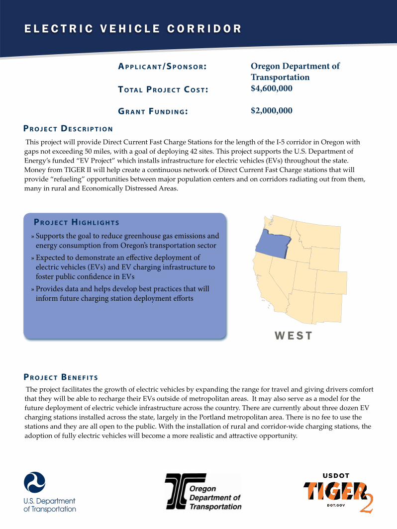
E l E c t r i c V E h i c l E c o r r i d o r
A p p l i c A n t /S p o n S o r :
t o tA l p r o j e c t c o S t :
G r A n t F u n d i n G :
Oregon Department of Transportation $4,600,000
$2,000,000
This project will provide Direct Current Fast Charge Stations for the length of the I-5 corridor in Oregon with gaps not exceeding 50 miles, with a goal of deploying 42 sites. This project supports the U.S. Department of Energy’s funded “EV Project” which installs infrastructure for electric vehicles (EVs) throughout the state. Money from TIGER II will help create a continuous network of Direct Current Fast Charge stations that will provide “refueling” opportunities between major population centers and on corridors radiating out from them, many in rural and Economically Distressed Areas.
p r o j e c t d e S c r i p t i o n
p r o j e c t H i G H l i G H t S
»» Supports the goal to reduce greenhouse gas emissions and energy consumption from Oregon’s transportation sector»» Expected to demonstrate an effective deployment of electric vehicles (EVs) and EV charging infrastructure to foster public confidence in EVs »» Provides data and helps develop best practices that will inform future charging station deployment efforts
The project facilitates the growth of electric vehicles by expanding the range for travel and giving drivers comfort that they will be able to recharge their EVs outside of metropolitan areas. It may also serve as a model for the future deployment of electric vehicle infrastructure across the country. There are currently about three dozen EV charging stations installed across the state, largely in the Portland metropolitan area. There is no fee to use the stations and they are all open to the public. With the installation of rural and corridor-wide charging stations, the adoption of fully electric vehicles will become a more realistic and attractive opportunity.
p r o j e c t B e n e F i t S
W E s t
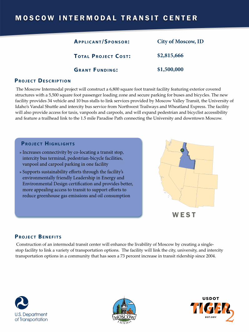
M o s c o w I n t e r M o d a l t r a n s I t c e n t e r
A p p l i c A n t /S p o n S o r :
t o tA l p r o j e c t c o S t :
G r A n t F u n d i n G :
City of Moscow, ID
$2,815,666
$1,500,000
The Moscow Intermodal project will construct a 6,800 square foot transit facility featuring exterior covered structures with a 5,500 square foot passenger loading zone and secure parking for buses and bicycles. The new facility provides 34 vehicle and 10 bus stalls to link services provided by Moscow Valley Transit, the University of Idaho’s Vandal Shuttle and intercity bus service from Northwest Trailways and Wheatland Express. The facility will also provide access for taxis, vanpools and carpools, and will expand pedestrian and bicyclist accessibility and feature a trailhead link to the 1.5 mile Paradise Path connecting the University and downtown Moscow.
p r o j e c t d e S c r i p t i o n
p r o j e c t H i G H l i G H t S
»» Increases connectivity by co-locating a transit stop, intercity bus terminal, pedestrian-bicycle facilities, vanpool and carpool parking in one facility»» Supports sustainability efforts through the facility’s environmentally friendly Leadership in Energy and Environmental Design certification and provides better, more appealing access to transit to support efforts to reduce greenhouse gas emissions and oil consumption
Construction of an intermodal transit center will enhance the livability of Moscow by creating a single-stop facility to link a variety of transportation options. The facility will link the city, university, and intercity transportation options in a community that has seen a 73 percent increase in transit ridership since 2004.
p r o j e c t B e n e F i t S
w e s t
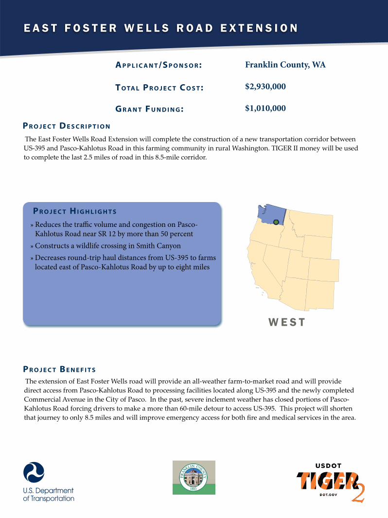
E a s t F o s t E r W E l l s r o a d E x t E n s i o n
A p p l i c A n t /S p o n S o r :
t o tA l p r o j e c t c o S t :
G r A n t F u n d i n G :
Franklin County, WA
$2,930,000
$1,010,000
The East Foster Wells Road Extension will complete the construction of a new transportation corridor between US-395 and Pasco-Kahlotus Road in this farming community in rural Washington. TIGER II money will be used to complete the last 2.5 miles of road in this 8.5-mile corridor.
p r o j e c t d e S c r i p t i o n
p r o j e c t H i G H l i G H t S
»» Reduces the traffic volume and congestion on Pasco-Kahlotus Road near SR 12 by more than 50 percent»» Constructs a wildlife crossing in Smith Canyon»» Decreases round-trip haul distances from US-395 to farms located east of Pasco-Kahlotus Road by up to eight miles
The extension of East Foster Wells road will provide an all-weather farm-to-market road and will provide direct access from Pasco-Kahlotus Road to processing facilities located along US-395 and the newly completed Commercial Avenue in the City of Pasco. In the past, severe inclement weather has closed portions of Pasco-Kahlotus Road forcing drivers to make a more than 60-mile detour to access US-395. This project will shorten that journey to only 8.5 miles and will improve emergency access for both fire and medical services in the area.
p r o j e c t B e n e F i t S
W E s t