building a stream network for the 12 th hydrologic region using arcinfo cven 689 prepared by:...
Post on 21-Dec-2015
212 views
TRANSCRIPT
Building a stream network for the 12th Hydrologic region using ArcInfo
CVEN 689
Prepared by:Héctor Olmos
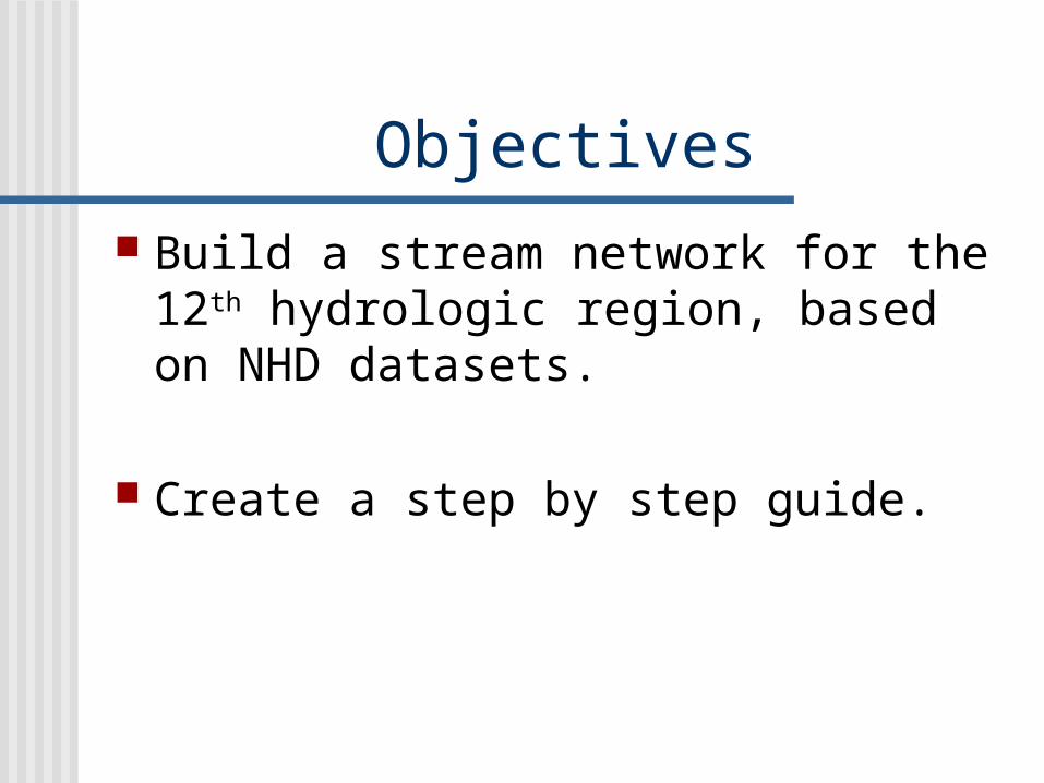
Objectives Build a stream network for the 12th
hydrologic region, based on NHD datasets.
Create a step by step guide.
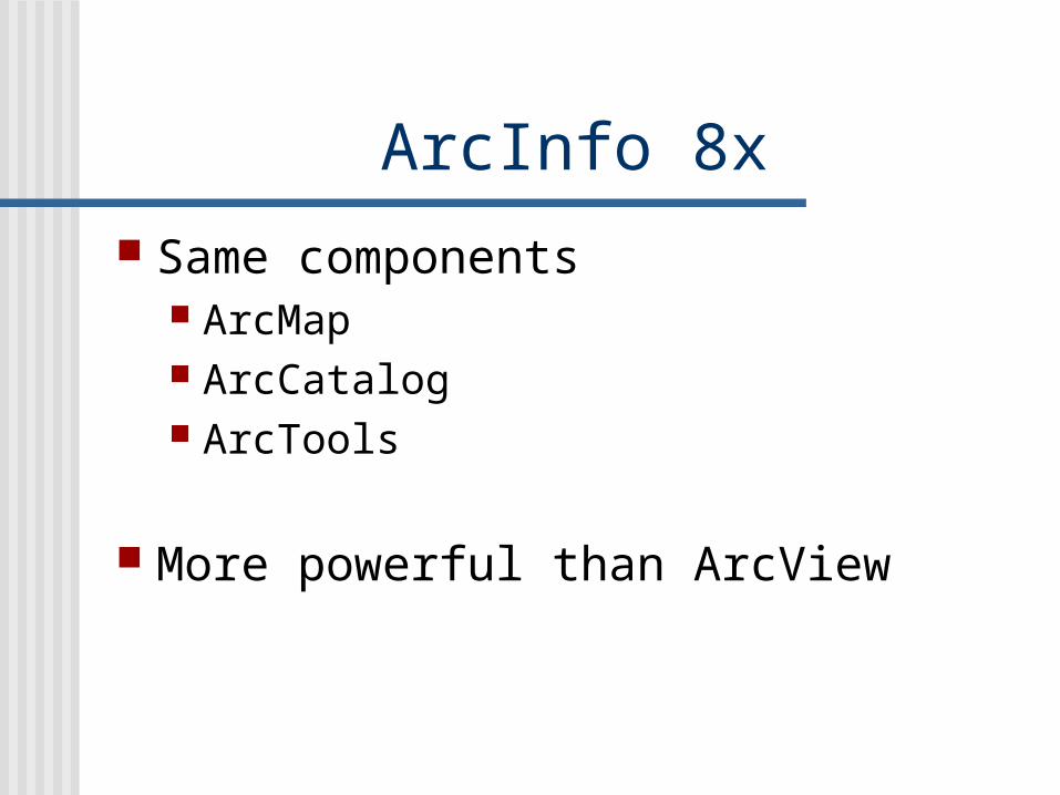
ArcInfo 8x Same components
ArcMap ArcCatalog ArcTools
More powerful than ArcView

Geodatabase Relational databases
that contain geographic information
Organize the data
Create the geometric network
Personal Geodatabase
Feature dataset
Feature Class
Table

Network Set of edges and junctions that are
topologically connected to each other.
Edges
Junctions
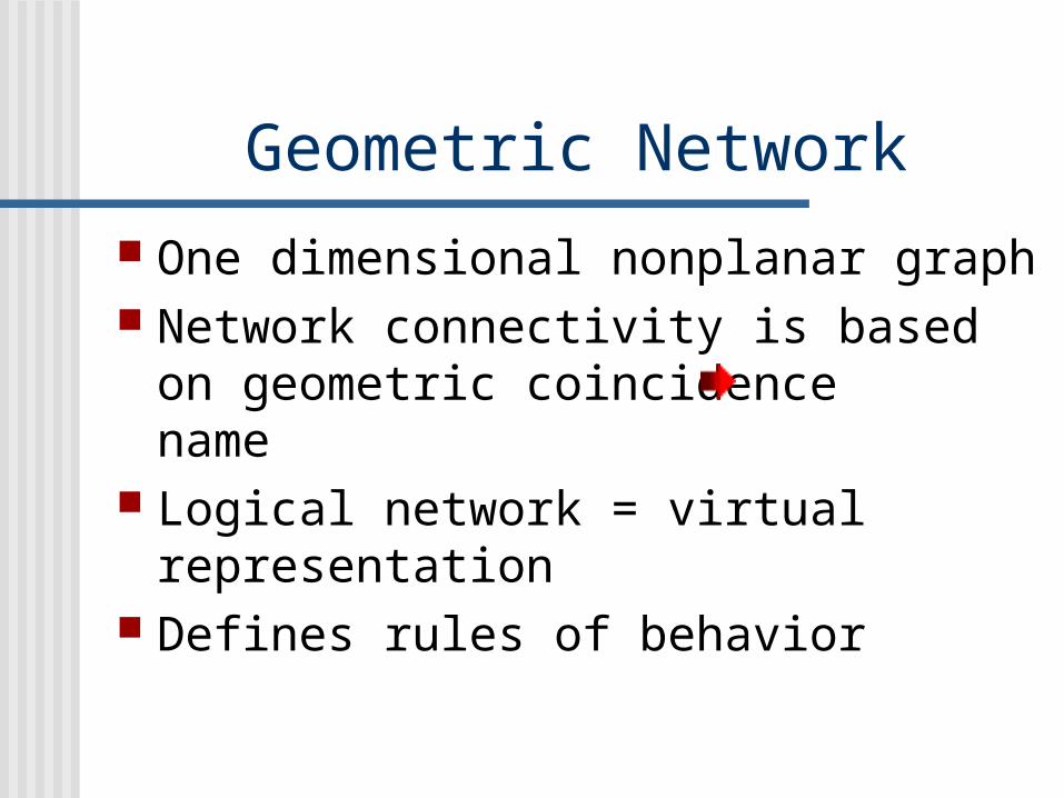
Geometric Network One dimensional nonplanar graph Network connectivity is based on
geometric coincidence name Logical network = virtual
representation Defines rules of behavior
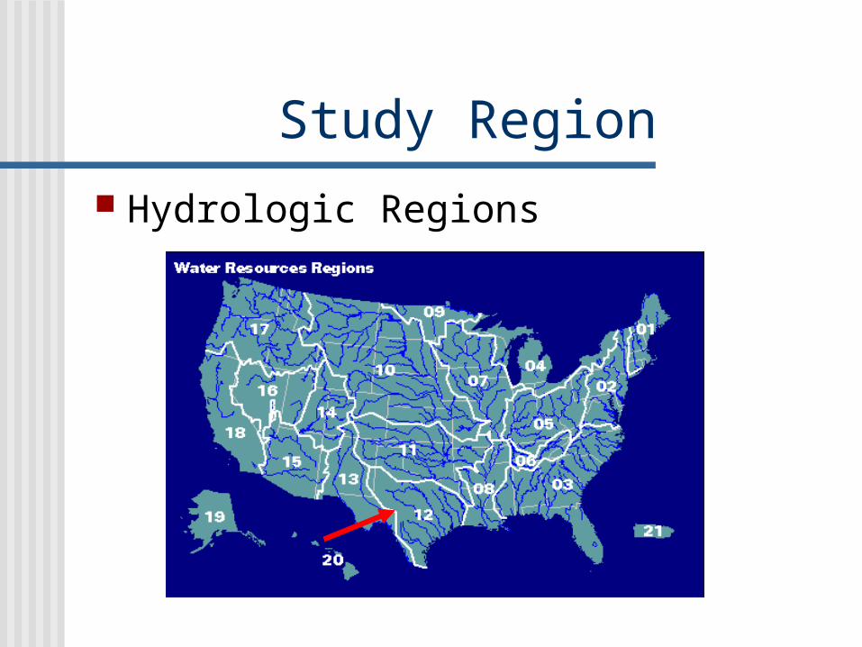
Study Region Hydrologic Regions

Region 12 Texas-Gulf 11 subregions 22 accounting units 122 Cataloging Units
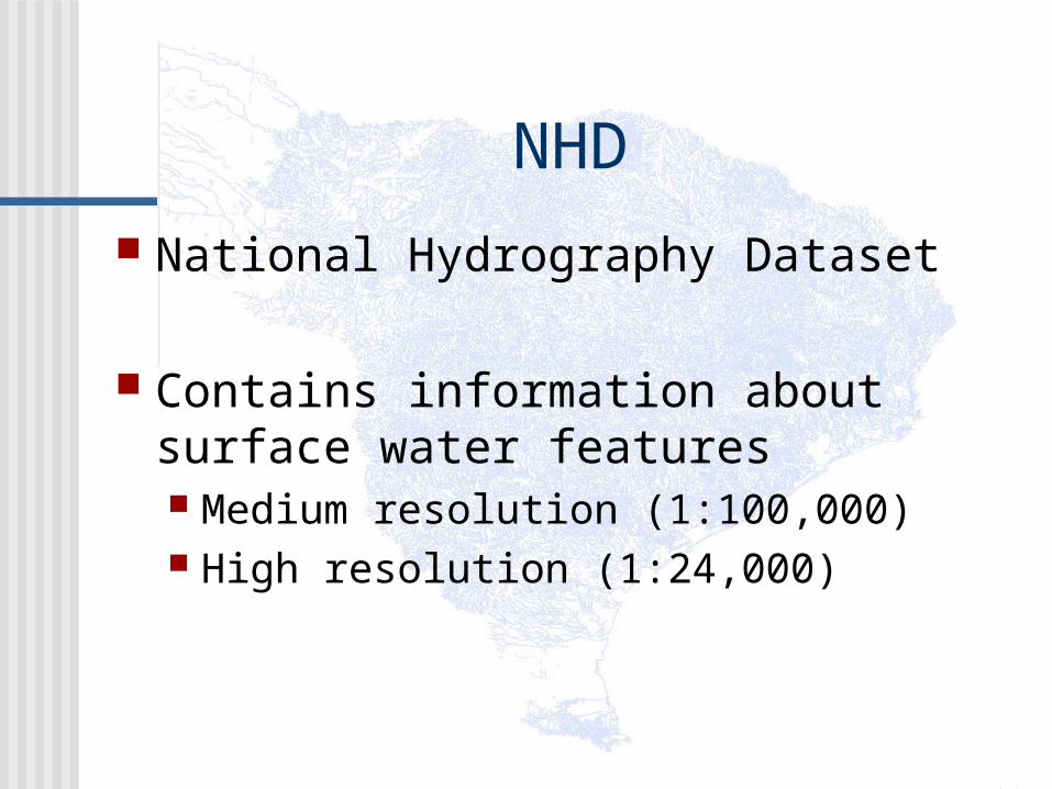
NHD National Hydrography Dataset
Contains information about surface water features Medium resolution (1:100,000) High resolution (1:24,000)

Center line
Shore lines
NHD (1:24,000)Digital raster graphics (DRG) 1:24,000
Rf1
Rf1 (1:500,000)
Center line
Shore lines
NHD (1:100,000)
Data quality comparison
Procedure

Download NHD Download &
extract NHD datasets
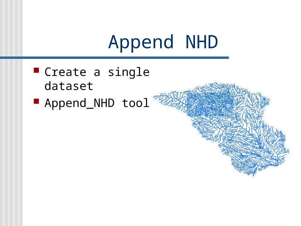
Append NHD Create a single
dataset Append_NHD tool
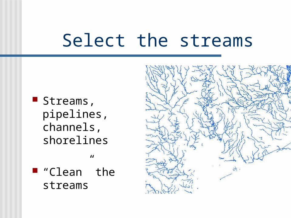
Select the streams
Streams, pipelines, channels, shorelines
“Clean” the streams
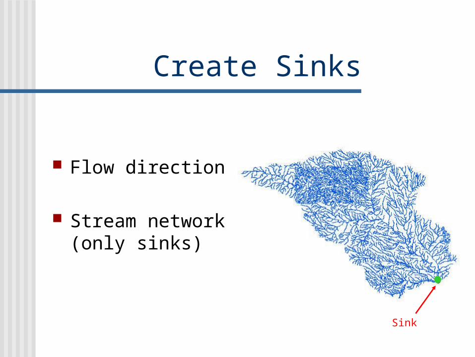
Create Sinks
Flow direction
Stream network (only sinks)
Sink

Snap gauging stations Not connected to
streams
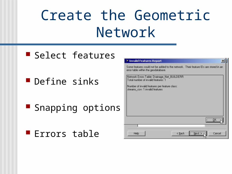
Create the Geometric Network
Select features
Define sinks
Snapping options
Errors table
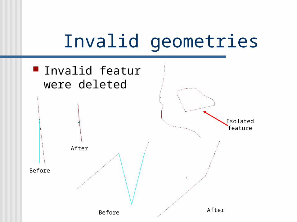
Invalid geometries Invalid features
were deleted
Before
Before
After
After
Isolatedfeature

Loop
Longest path
Loops Flow direction not
defined
Delete the longest path

Tracing Tracing
downstream
Tracing Upstream

Conclusions Preparing the data takes a lot of time
(this was a huge area) Some of the deleted features were
really streams. Building a stream network is not very
difficult once the data has been filtered. A stream network has a lot of
applications.

Future work Create a tool that automatically
finds loops and corrects them.
Create a new network with high resolution NHD datasets.

Questions?