bath: hacked learning night: introduction to cartodb
TRANSCRIPT
your local open data project@bathhacked
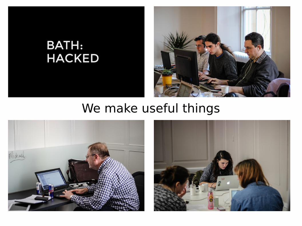
We make useful things
#learningmaps
Please share what you've made and learnt
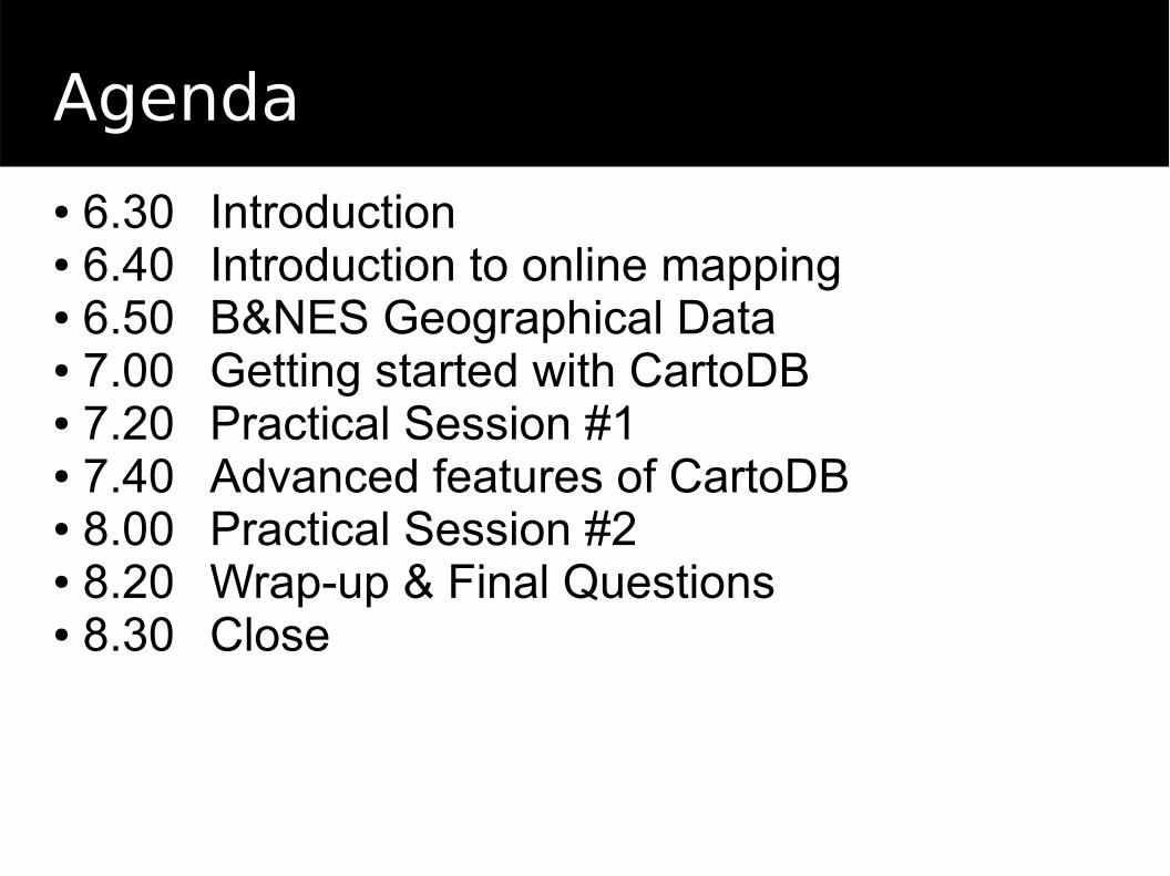
Agenda
● 6.30 Introduction● 6.40 Introduction to online mapping● 6.50 B&NES Geographical Data● 7.00 Getting started with CartoDB● 7.20 Practical Session #1● 7.40 Advanced features of CartoDB● 8.00 Practical Session #2● 8.20 Wrap-up & Final Questions● 8.30 Close
Introduction to online mapping
Concepts, tools and libraries
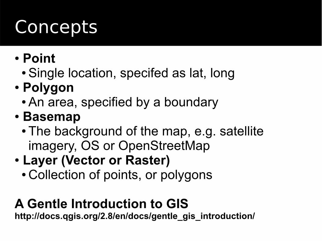
Concepts
● Point● Single location, specifed as lat, long
● Polygon● An area, specified by a boundary
● Basemap● The background of the map, e.g. satellite imagery, OS or OpenStreetMap
● Layer (Vector or Raster)● Collection of points, or polygons
A Gentle Introduction to GIShttp://docs.qgis.org/2.8/en/docs/gentle_gis_introduction/
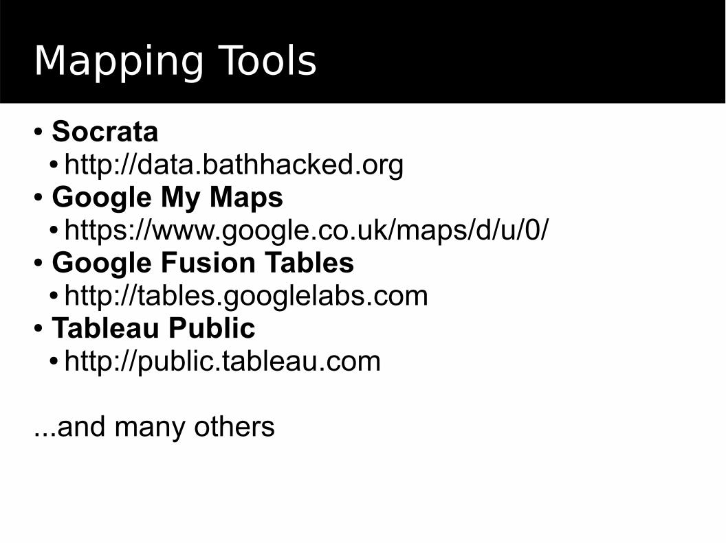
Mapping Tools
● Socrata● http://data.bathhacked.org
● Google My Maps● https://www.google.co.uk/maps/d/u/0/
● Google Fusion Tables● http://tables.googlelabs.com
● Tableau Public● http://public.tableau.com
...and many others
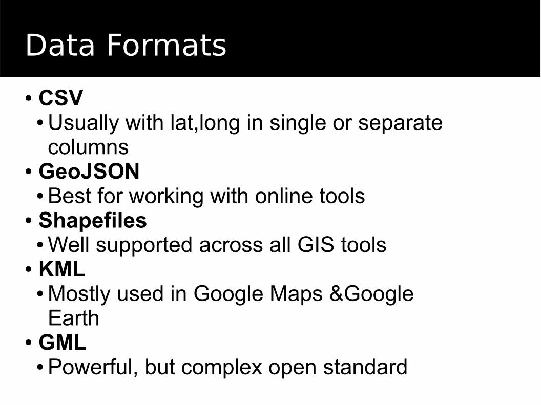
Data Formats
● CSV● Usually with lat,long in single or separate columns
● GeoJSON● Best for working with online tools
● Shapefiles● Well supported across all GIS tools
● KML● Mostly used in Google Maps &Google Earth
● GML● Powerful, but complex open standard
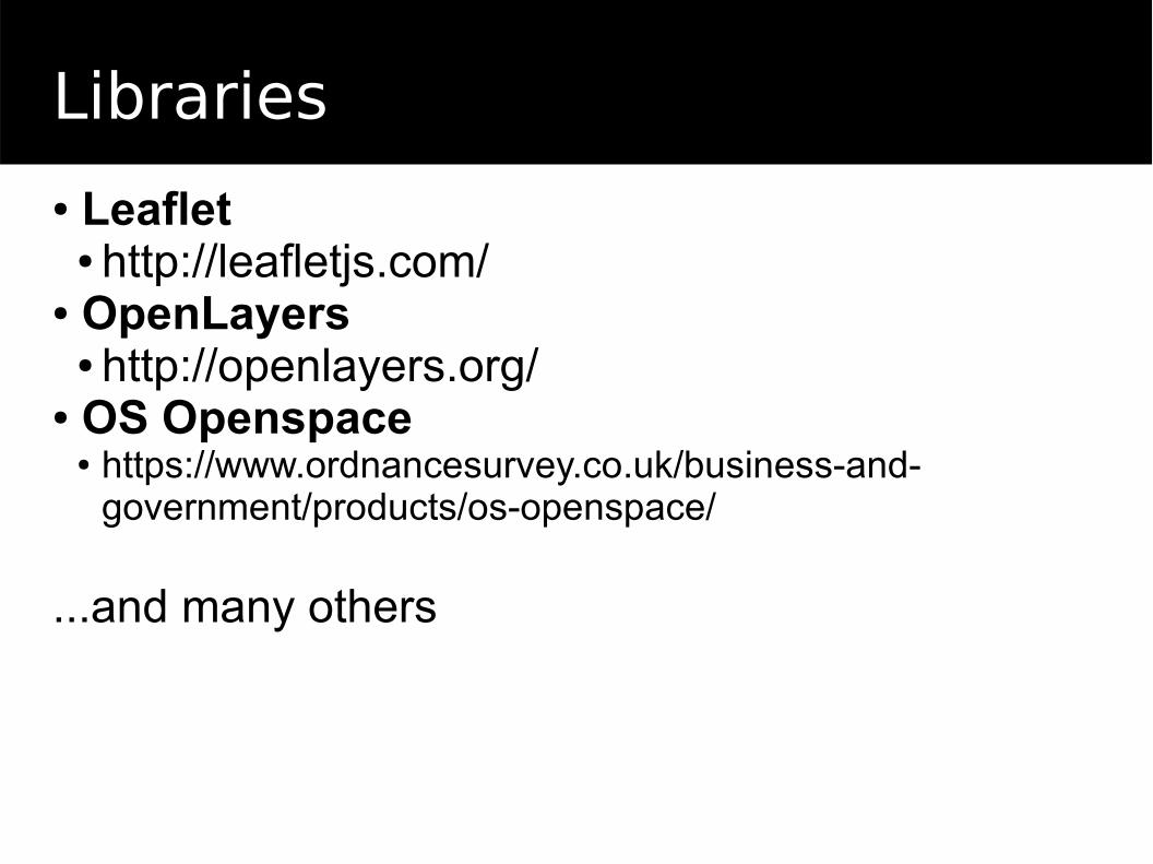
Libraries
● Leaflet● http://leafletjs.com/
● OpenLayers● http://openlayers.org/
● OS Openspace● https://www.ordnancesurvey.co.uk/business-and-
government/products/os-openspace/
...and many others
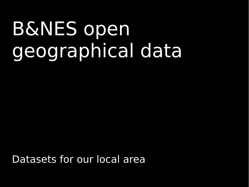
B&NES open geographical data
Datasets for our local area
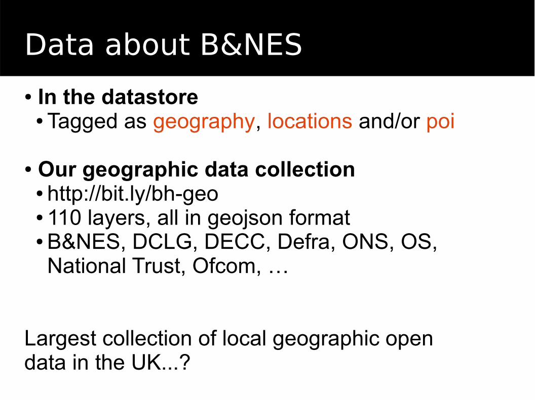
Data about B&NES
● In the datastore● Tagged as geography, locations and/or poi
● Our geographic data collection● http://bit.ly/bh-geo● 110 layers, all in geojson format● B&NES, DCLG, DECC, Defra, ONS, OS, National Trust, Ofcom, …
Largest collection of local geographic open data in the UK...?
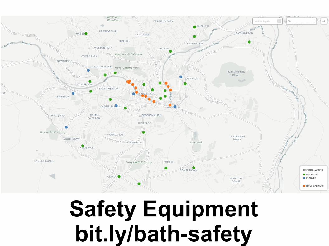
Safety Equipmentbit.ly/bath-safety
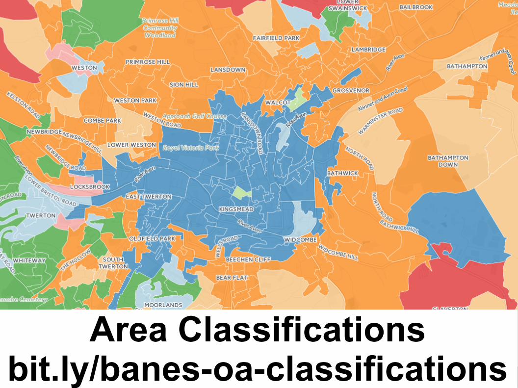
Area Classificationsbit.ly/banes-oa-classifications
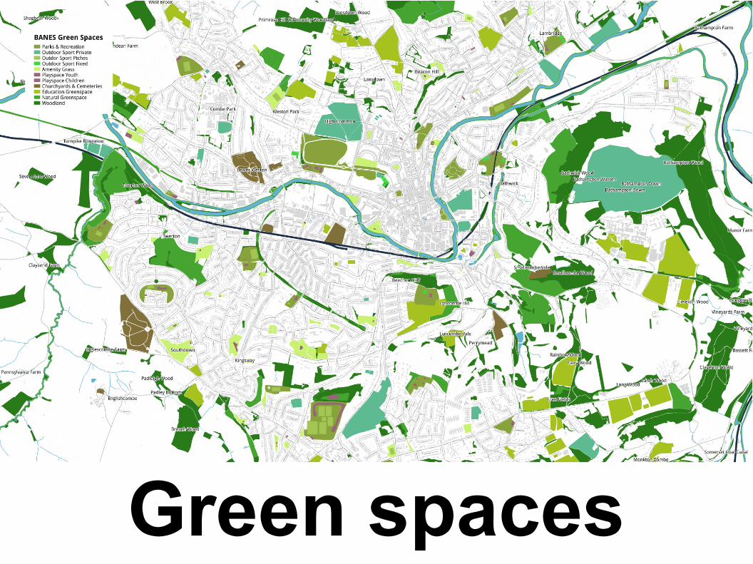
Green spaces
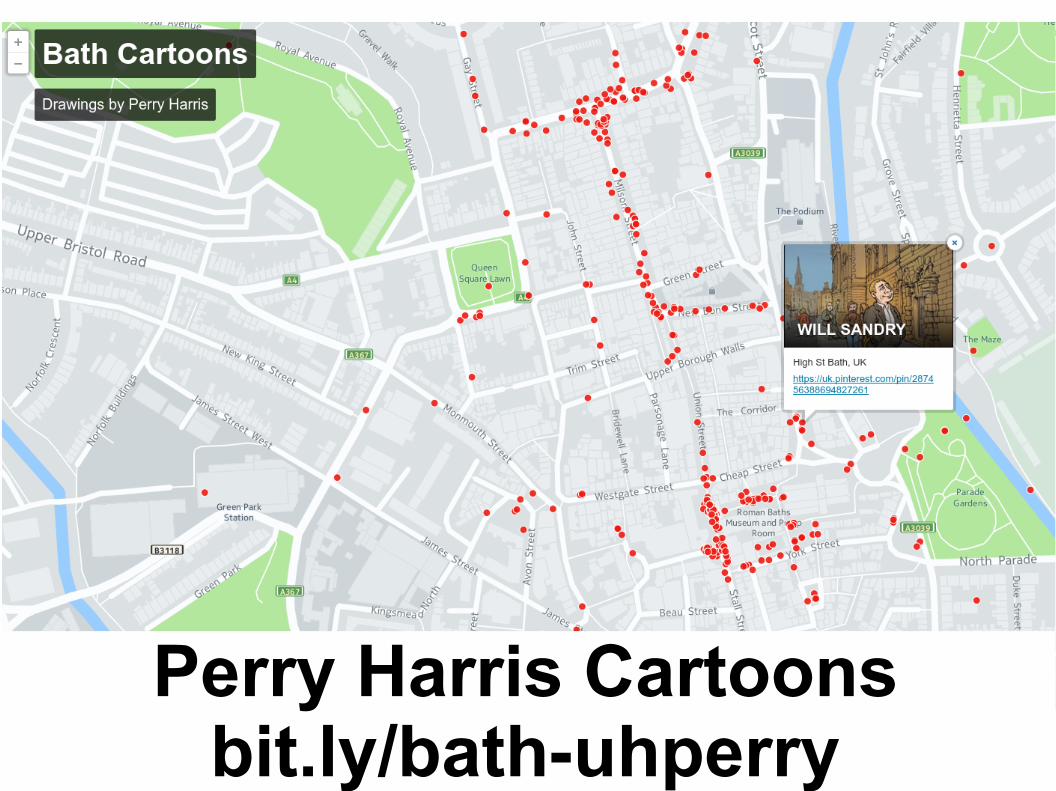
Perry Harris Cartoonsbit.ly/bath-uhperry
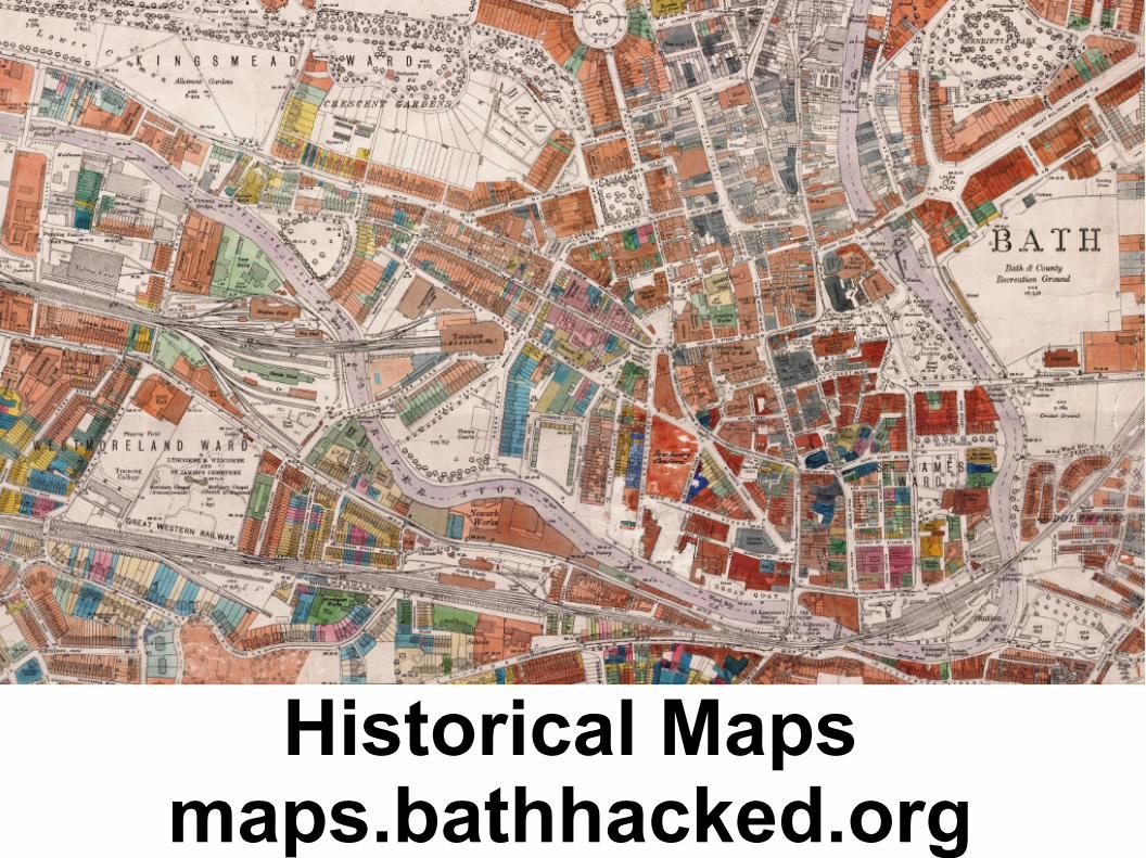
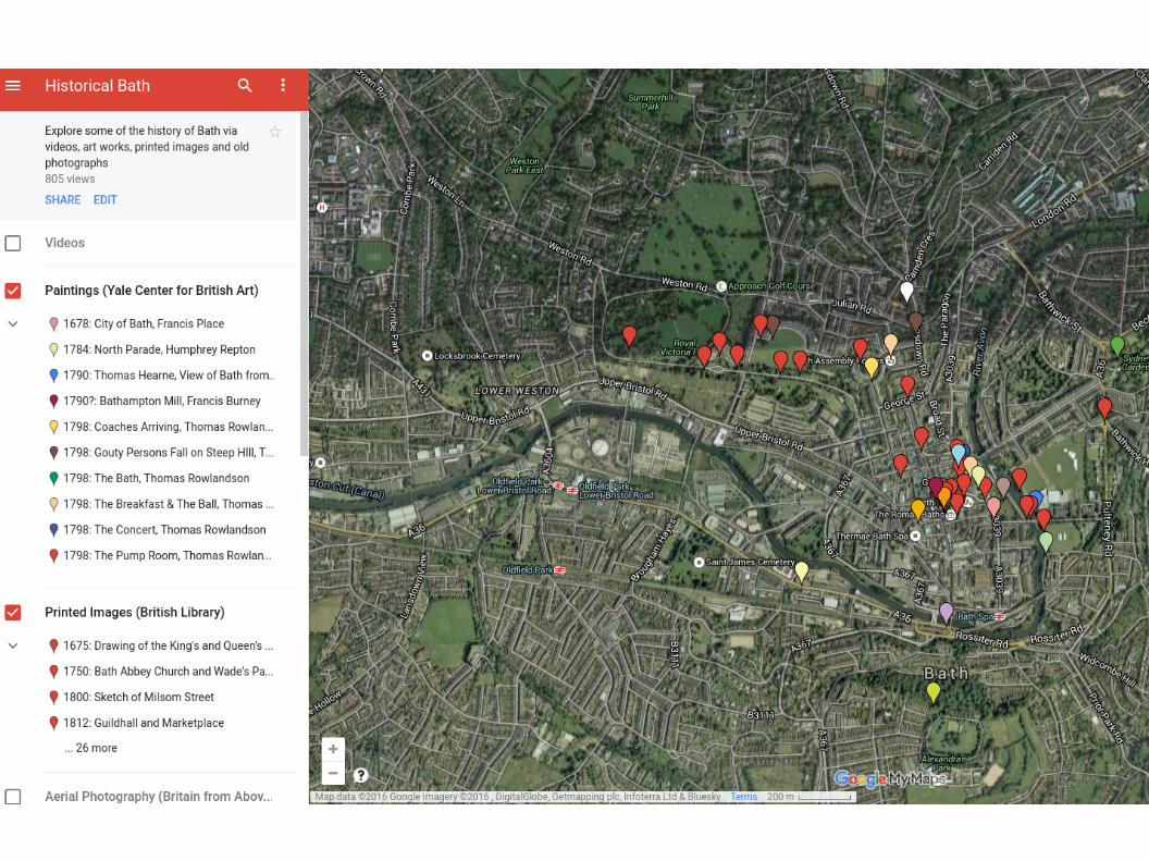
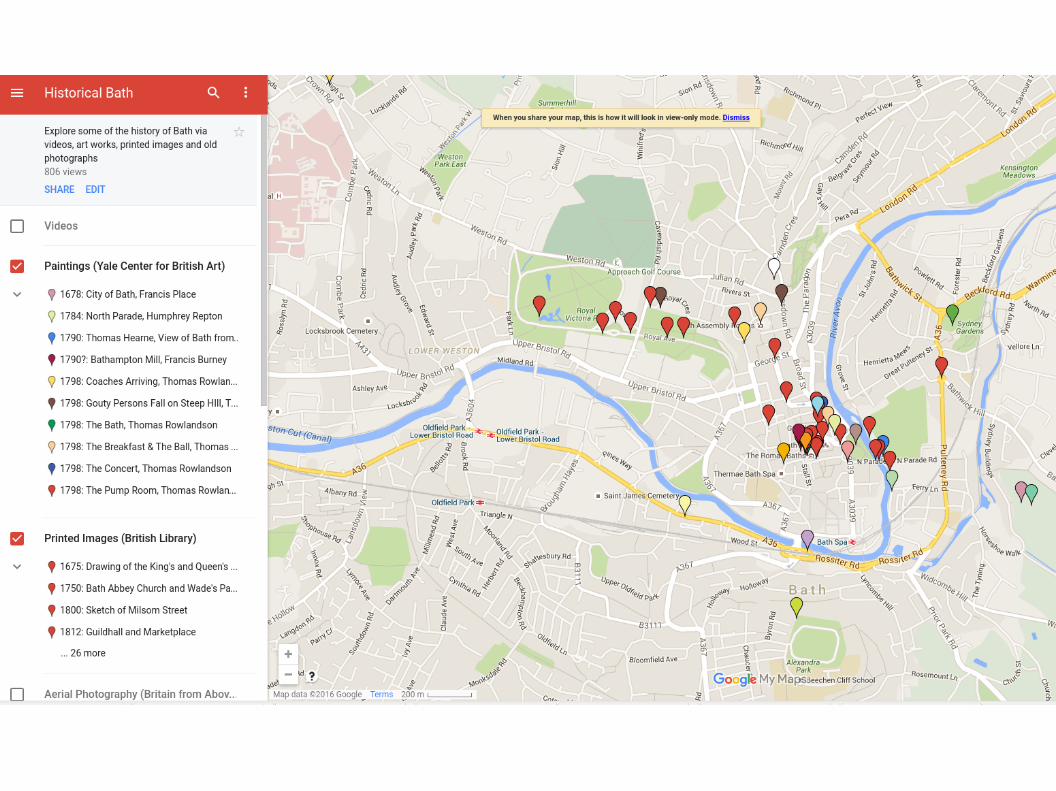
Historical Mapsmaps.bathhacked.org
Getting started with Cartodb
Importing data, making & styling your first maps
Importing datasets
● Drag and Drop● Import and synchronise● Import from Socrata
Customise the base map
● User controls● Base maps● Adding text elements● ...
Presenting the data
● Customising the data display● Labelling and overlays● Adding layers● Publishing the map
Practical Session #1
Making and publishing your first map

Creating your first map
● 15 minute exercise● Try creating your first map
● https://bathhacked.cartodb.com/datasets● http://bit.ly/bh-geo● https://data.bathhacked.org● ...or use your own?
● Customise the basic layout and data presentation
● 5 mins for questions & commons
Advanced features of CartoDB
From maps to visualisations
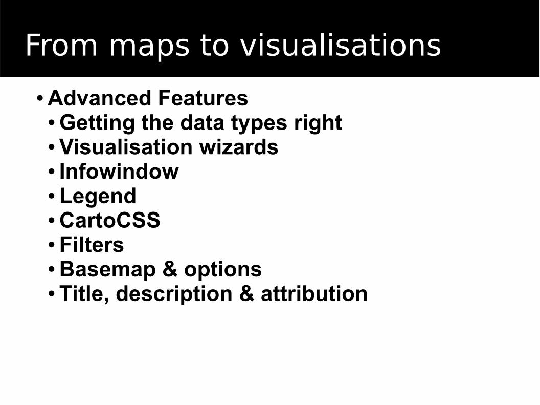
From maps to visualisations
● Advanced Features● Getting the data types right● Visualisation wizards● Infowindow● Legend● CartoCSS● Filters● Basemap & options● Title, description & attribution
Practical Session #2
Making more advanced maps
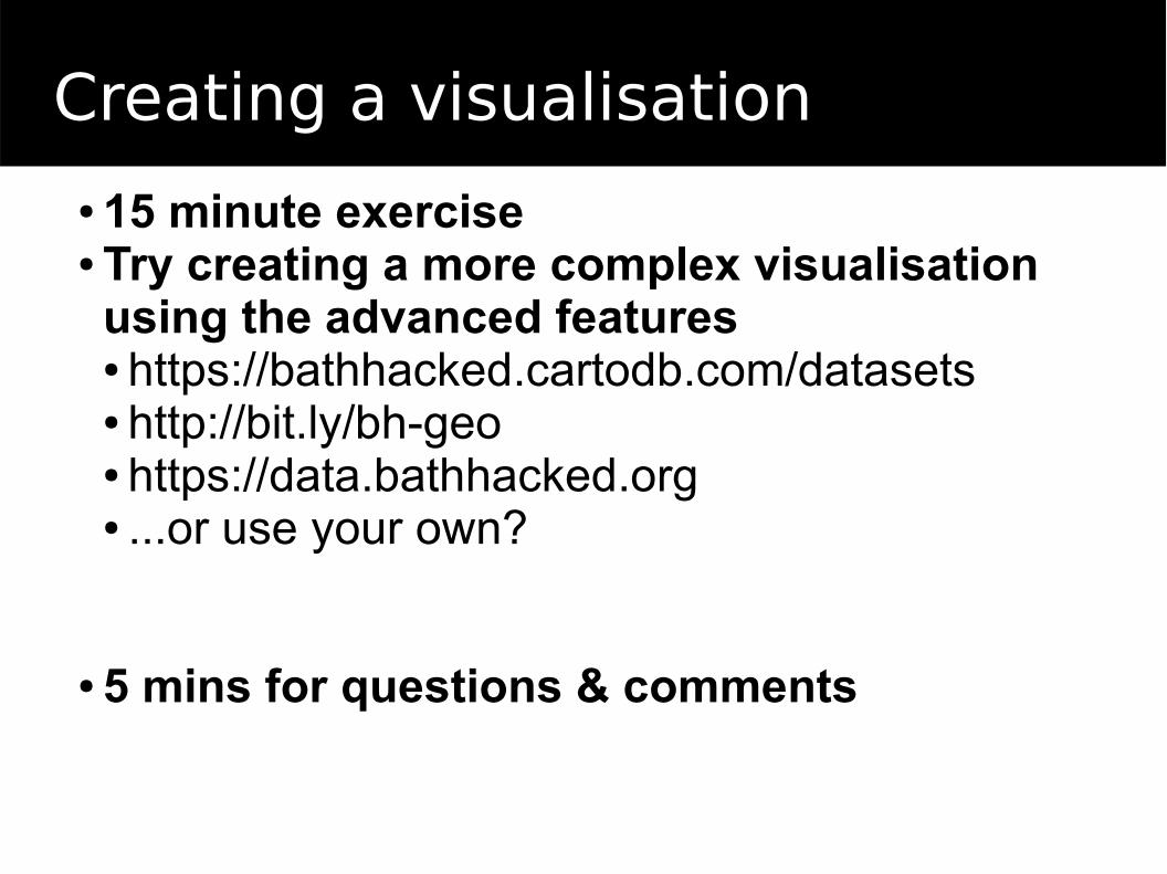
Creating a visualisation
● 15 minute exercise● Try creating a more complex visualisation using the advanced features● https://bathhacked.cartodb.com/datasets● http://bit.ly/bh-geo● https://data.bathhacked.org● ...or use your own?
● 5 mins for questions & comments
Wrapping up
Additional resources
Wrapping up
A Gentle Introduction to GIShttp://docs.qgis.org/2.8/en/docs/gentle_gis_introduction/
Visualising Data without Codehttps://www.youtube.com/watch?v=256f59vK0_U
CartoDB Map Academyhttps://cartodb.com/academy/
QGIShttp://www.qgis.org/en/site/
your local open data project