automation of aerial radiological survey flight planning · 2014-07-03 · of radassist, avid, and...
TRANSCRIPT

Esri UC2014 .
2013 Esri International User Conference July 14-18, 2014 | San Diego, California
Automation of Aerial Radiological Survey Flight Planning
Ron Smith Kent Weymouth Dave Isiminger

Esri UC2014 .
Where We Are
Automation of Aerial Radiological Survey Flight Planning

Esri UC2014 .
Who We Are
Automation of Aerial Radiological Survey Flight Planning

Esri UC2014 .
• DOE/NNSA Radiological First Responders
• Deployable within 2 hours.
• Regionally located to provide a timely response capability and foster relationships with other emergency response elements
What’s a RAP Team?
Automation of Aerial Radiological Survey Flight Planning

Esri UC2014 .
8
7
5 8
7 4
2
1 6
2
3
0
DOE Regional Map and Coordinating Offices
Automation of Aerial Radiological Survey Flight Planning

Esri UC2014 .
Aerial Measuring System (AMS) detects, measures and tracks radioactive material at an emergency to determine contamination levels
Regional AMS
What’s an AMS?
Automation of Aerial Radiological Survey Flight Planning

Esri UC2014 .
Flight Planning…Very Important!
Automation of Aerial Radiological Survey Flight Planning

Esri UC2014 .
Better Flight Planning Through Automation
Automation of Aerial Radiological Survey Flight Planning
The RAP Flight Planning Tool is used to respond to emergency radiological situations. The tool automates the flight planning package process while decreasing Aerial Measuring System response times and decreasing the potential for human error.

Esri UC2014 .
DOE Region 3 AMS Flight Planning Tool (FPT)
The FPT is an add-in for ArcMap 10.1. Facilitates planning AMS missions. Output from the FPT is designed to integrate operations of RadAssist, AVID, and Garmin Aviation GPS (696, 796, G-1000). Reports are created and saved to support preflight briefing. AMS Survey Patterns 1. Parallel Lines – Lost Source 2. Deposition – NARAC 3. Road Search – Road and
Stream 4. Custom Search Patterns 5. Navigation Output Could be used to support future regional AMS teams, possibly as a web service.

Esri UC2014 .
FPT Parallel Flight Line Operation
File Management Define Survey Area, Line
Spacing, and output

Esri UC2014 .
DOE Region 3 AMS Flight Planning and Navigation Tool Parallel lines can be in any orientation with selectable line separation
ArcMap software displaying parallel lines northwest to southeast

Esri UC2014 .
DOE Region 3 Flight Planning Tool Output Pilot Briefing Report, Shape Files, Garmin Aviation GPS
Flight Plan File, GPX file for Ground Based GPS and KML

Esri UC2014 .
Example of the flexibility designed into the DOE Region 3 Flight Planning Tool. Displayed to the right are curved parallel lines to demonstrate the capability possible. Literally any search pattern can be created such as expanding circular or expanding rectangular patterns. All flight patterns can be exported to various applications, Garmin Aviation GPS, Garmin GPS.

Esri UC2014 .
Garmin Aviation GPS Mounted In Helicopter

Esri UC2014 .
Garmin 796 Aviation GPS Garmin 796 displaying a parallel line flight plan ( 150’ line spacing). The flight plan file was created in the DOE Region 3 Flight Planning Tool. This image was captured during a flight. Displayed as track up. The helicopter Icon is on line heading east with a ground speed of 43.6 kt and altitude of 365’ msl.

Esri UC2014 .
Navigation with Garmin 796 GPS 150 feet AGL, 150 feet line spacing, 40 kt ground speed
Gamma radiation measurements

Esri UC2014 .
1st DEMO Here we go!
Automation of Aerial Radiological Survey Flight Planning

Esri UC2014 .
Now for the Cool Stuff
Automation of Aerial Radiological Survey Flight Planning
Flight lines and turn points can also be exported in gpx, kml and fpl formats and uploaded directly to Garmin aviation GPS systems.

Esri UC2014 .
2nd DEMO Here we go
Again!
Automation of Aerial Radiological Survey Flight Planning

Esri UC2014 .
Real World Experience Fukushima

Esri UC2014 . 21
Performed aerial radiation measurements to map radioactive ground deposition within a 80 km radius of the Fukushima Nuclear
power plant. Approximately 9,500 sq km land.
Map generated by DOE Region 3 AMS Scientist, ESRI
OpenStreet Map, and ESRI ArcMap Software.

Esri UC2014 .
Geospatial Tools And Aerial Mission
These tools are used to provide accurate geospatial information to the mission pilots for location of airborne surveys and extent of mapping.
Mission briefing maps assure communications are clear between the Health Physicist and Pilot.
Overview map for general information.

Esri UC2014 .
Geospatial Tools And Aerial Mission Planning These two maps define the survey area and how the survey will be completed. The survey area shown is between the 60 km and 80 km radial. A parallel line survey is specified with line spacing of 2000 ft, 1000 ft AGL, 70 kn, and 360 NMi of survey lines.

Esri UC2014 .
• 24
Aircraft Utilized For Aerial Survey: UH1 Helicopter

Esri UC2014 .
Aircraft Utilized For Aerial Survey: C-12 Twin Engine

Esri UC2014 .
Spatial distribution of radioactive material, raw data (gamma counts per second). Two survey areas with great variations in concentration of radioactive materials on the ground.

Esri UC2014 .
• 27
Radiation Detector Acquisition Time One Second. Gamma Spectrum With GPS Position
Cs-136 1048 keV
Cs136 819 keV
Cs-134 796 keV
Cs-137 662 keV
Cs-134 605 keV I-131
364 keV

Esri UC2014 .
Final Map Products
Aerial Measurement Systems home team scientists process survey data to provide an estimate of the ground level dose rates through out the 80 km zone.
Map produced by NNSA’s GIS group at RSL West with ESRI World Street Map and CMHT
database. http://blog.energy.gov/content/situation-japan/
Esri UC2014 .
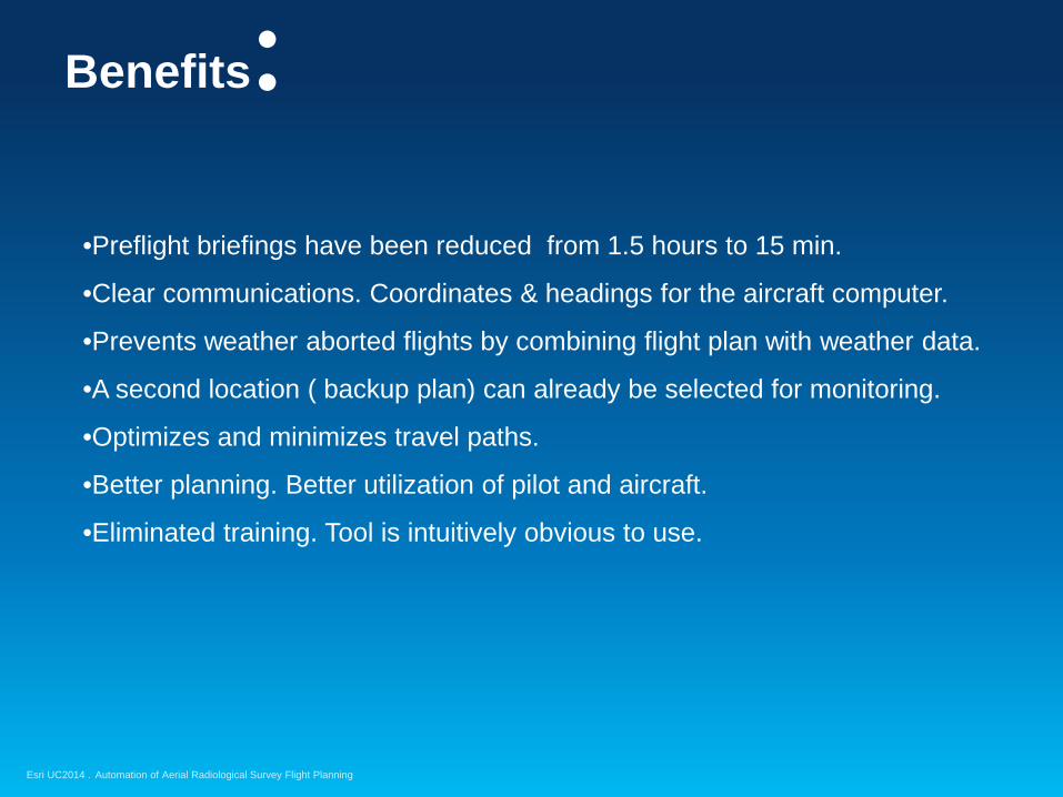
Benefits:
•Preflight briefings have been reduced from 1.5 hours to 15 min.
•Clear communications. Coordinates & headings for the aircraft computer.
•Prevents weather aborted flights by combining flight plan with weather data.
•A second location ( backup plan) can already be selected for monitoring.
•Optimizes and minimizes travel paths.
•Better planning. Better utilization of pilot and aircraft.
•Eliminated training. Tool is intuitively obvious to use.
Automation of Aerial Radiological Survey Flight Planning

Esri UC2014 .
QUESTIONS?