appendix f - unh extension · appendix f wetland classification (revised december, ... usfws...
TRANSCRIPT
Appendix F Wetland Classification (revised December, 2015) www.nhmethod.org Page 1
APPENDIX F
THE COWARDIN SYSTEM OF WETLAND CLASSIFICATION (1979) AND THE NATIONAL WETLANDS INVENTORY (NWI)
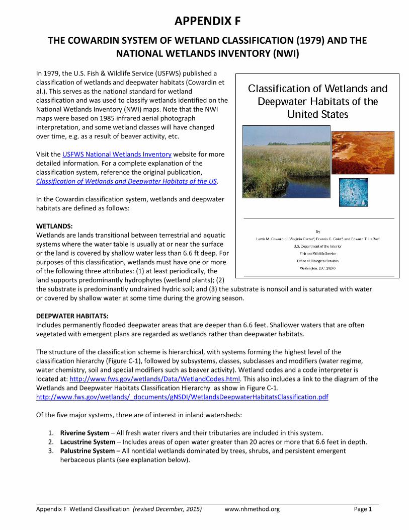
In 1979, the U.S. Fish & Wildlife Service (USFWS) published a classification of wetlands and deepwater habitats (Cowardin et al.). This serves as the national standard for wetland classification and was used to classify wetlands identified on the National Wetlands Inventory (NWI) maps. Note that the NWI maps were based on 1985 infrared aerial photograph interpretation, and some wetland classes will have changed over time, e.g. as a result of beaver activity, etc. Visit the USFWS National Wetlands Inventory website for more detailed information. For a complete explanation of the classification system, reference the original publication, Classification of Wetlands and Deepwater Habitats of the US. In the Cowardin classification system, wetlands and deepwater habitats are defined as follows: WETLANDS: Wetlands are lands transitional between terrestrial and aquatic systems where the water table is usually at or near the surface or the land is covered by shallow water less than 6.6 ft deep. For purposes of this classification, wetlands must have one or more of the following three attributes: (1) at least periodically, the land supports predominantly hydrophytes (wetland plants); (2) the substrate is predominantly undrained hydric soil; and (3) the substrate is nonsoil and is saturated with water or covered by shallow water at some time during the growing season. DEEPWATER HABITATS: Includes permanently flooded deepwater areas that are deeper than 6.6 feet. Shallower waters that are often vegetated with emergent plans are regarded as wetlands rather than deepwater habitats. The structure of the classification scheme is hierarchical, with systems forming the highest level of the classification hierarchy (Figure C-1), followed by subsystems, classes, subclasses and modifiers (water regime, water chemistry, soil and special modifiers such as beaver activity). Wetland codes and a code interpreter is located at: http://www.fws.gov/wetlands/Data/WetlandCodes.html. This also includes a link to the diagram of the Wetlands and Deepwater Habitats Classification Hierarchy as show in Figure C-1. http://www.fws.gov/wetlands/_documents/gNSDI/WetlandsDeepwaterHabitatsClassification.pdf Of the five major systems, three are of interest in inland watersheds:
1. Riverine System – All fresh water rivers and their tributaries are included in this system. 2. Lacustrine System – Includes areas of open water greater than 20 acres or more that 6.6 feet in depth. 3. Palustrine System – All nontidal wetlands dominated by trees, shrubs, and persistent emergent
herbaceous plants (see explanation below).

Appendix F Wetland Classification (revised December, 2015) www.nhmethod.org Page 2
PALUSTRINE SYSTEM
The Palustrine System includes all freshwater wetlands (such as marshes, bogs, and swamps) dominated by trees, shrubs, emergent herbaceous plants, floating leaved and submergent plants, and mosses and lichens. It also includes wetlands lacking such vegetation, but with all of the following characteristics:
(1) area <20 acres (2) maximum water depth, 6.6 feet (3) salinity <0.5‰
Palustrine wetlands may be situated shoreward of lakes or river channels, on floodplains, isolated from water bodies, or on slopes. The Palustrine System is subdivided into a several wetland classes, the most common of which are: Unconsolidated Bottom: Areas of water with at least 25% cover of particles smaller than stones (less than 6-7 cm), and a vegetative cover less than 30%. Aquatic Bed: Areas of water dominated by plants that grow principally on or below the surface of water for most of the growing season, e.g. floating-leaved plants, pondweeds, waterlilies, and submergent plants such as bladderwort. Emergent: Wetland characterized by rooted herbaceous and grasslike plants which stand erect above the water or ground surface (excluding mosses or lichens). Vegetation is present for most of the growing season in most years. Emergent wetlands include marshes, meadows, and fens.
Persistent: Plant species that normally remain standing until the beginning of the next growing season in most years, e.g. cattails, bulrushes, reeds. Non-persistent: Plant species that fall below the surface of the water at the end of the growing season so that at certain seasons of the year there is no obvious sign of emergent vegetation, e.g. pickerel weed, arrowheads, ferns.
Scrub-Shrub: Wetland dominated by woody vegetation less than 20 feet tall. Plant species include true shrubs, young trees, and trees or shrubs that are small or stunted because of environmental conditions. Scrub-Shrub wetlands include shrub swamps and bogs: Broad-leaved deciduous: e.g. buttonbush, alders, willows, dogwoods, and saplings (e.g. red maple). Needle-leaved deciduous: e.g. young or stunted trees, such as tamarack or cypress Broad-leaved evergreen: e.g. bog rosemary, bog laurel, leatherleaf Needle-leaved evergreen: e.g. young or stunted trees such as white pine, spruce Forested: Wetland dominated by woody vegetation 20 feet or taller. Forested wetlands, e.g. forested swamps, generally include an overstory of trees, an understory of young trees and shrubs, and a herbaceous layer. Broad-leaved deciduous: e.g. red maple, American elm Needle-leaved deciduous: e.g. tamarack, cypress Broad-leaved evergreen: e.g. red bay, holly Needle-leaved evergreen: e.g. black spruce, Atlantic White Cedar A NOTE on the use of the Cowardin System of Wetland Classification: The general rule of thumb when classifying wetlands according to their cover class is the ‘5-30 rule’, that is, a wetland type must have a minimum of 5% cover in order to be mapped, and if uppermost vegetative stratum exceeds 30% it becomes the dominant cover class. For example, if a wetland has 10% scrub-shrub cover and 30% forest cover, it gets mapped as a forested wetland (i.e. PFO). However, if neither cover class appears to exceed 30%, or if two classes appear to be co-dominant, then a combination of classes is written – e.g. PFO/SS or PSS/EM. Usually the uppermost layer gets noted first (e.g. PEM/AB) but occasionally the slightly more dominant class takes precedence (e.g. PSS/FO). The same goes for the numerical subscripts that modify the cover classes, e.g. PFO1/4E for a palustrine forested wetland that has slightly more deciduous trees than evergreen trees. See the examples of NWI classifications for wetlands below.
Appendix F Wetland Classification (revised December, 2015) www.nhmethod.org Page 3
EXAMPLES OF NWI CLASSIFICATIONS FOR THE PALUSTRINE SYSTEM:
PEM1Eb Palustrine, EMergent, persistent (1), seasonally flooded/saturated (E), beaver activity (b)
PSS1Fh Palustrine, Scrub-Shrub, broadleaved deciduous (1), semipermanently flooded (F), impounded/diked (h)
PFO1E Palustrine, FOrested, broadleaved deciduous (1), seasonally flooded/saturated (E)
PFO5 Palustrine, FOrested, Dead (5)
PSS1/EM1 Palustrine, dominantly Scrub-Shrub, broadleaved deciduous (1), mixed with Emergent, persistent (1)
PEM1/SS1 Palustrine, dominantly Emergent, persistent (1), mixed with Scrub-Shrub, broadleaved deciduous (1)
PFO4/SS4 Palustrine, dominantly FOrested, needle-leaved evergreen (4), mixed with Scrub-Shrub, needle-leaved evergreen (4)
PSS1/FO4 Palustrine, dominantly Scrub-Shrub, broadleaved deciduous (1), mixed with Forested needle-leaved evergreen (4)
U = Island or areas of upland within a wetland

Appendix F Wetland Classification (revised December, 2015) www.nhmethod.org Page 4
Figure F-1

Appendix F Wetland Classification (revised December, 2015) www.nhmethod.org Page 5