annex3 -zoning boundariesapi.ning.com/.../126465785672112006boundaries.pdf · unless otherwise...
TRANSCRIPT
Zone Boundaries Page 1 of 28
“ANNEX-3“
Zone Boundaries Interpretation of Zone Boundaries
The descriptions of zone and subzone boundaries in this Annex shall be interpreted with reference to the Official Zoning Map. The following rules shall apply in the interpretation of the boundaries of any of the zones or subzones: 1. Unless otherwise stated in this Ordinance, zone or subzone boundaries follow lot
boundaries. 2. When zone or subzone boundaries are so indicated as streets or highways, or
that they approximately follow the center of streets or highways, the street or highway right-of-way lines shall be construed to be the boundaries.
3. Where zone or subzone boundaries are so indicated that they are approximately
parallel to the center lines or right-of-way lines, such boundaries shall be construed as being parallel thereto and at such distance there from as indicated in the Official Zoning Map. If no distance is given, such dimension shall be determined by the use of the scale shown in said Zoning Map.
4. Where the boundary of a zone or subzone follows approximately a railroad line,
such boundary shall be deemed to be the railroad right-of-way. 5. Where the boundary of a zone or subzone follows a river, stream or creek, such
boundary line shall be deemed to be at the limit of the political jurisdiction of the city, unless otherwise indicated. Boundaries indicated as following the bank or side of a river, stream or creek, shall be construed to follow such banks or sides, provided that uses along such boundaries shall have to comply with the easements and setbacks imposed by the Water Code and other applicable laws or regulations. Should there be a change in the existing banks or sides of rivers or creeks, the boundaries shall be construed as moving with the actual banks or sides.
6. Where a lot is divided by a city boundary line, only that portion falling within the
city boundary line shall be covered by this Ordinance. 7. Unless otherwise stated in this Ordinance, a lot that is divided by a zone or
subzone boundary line shall be treated as separate lots as far the land use, density, and other provisions of this Ordinance are concerned, wherein the zone or subzone boundary between the lots that are considered separate shall be determined as shown in, and/or measured by scale from, the Official Zoning Map.
8. A zone boundary that is described as “one lot deep” or “lot deep” shall be
interpreted as a general description of the depth of the zone such that in certain areas of the zone the actual number of lots included within the depth of the zone may exceed one lot. The actual number of lots included within the depth of the zone shall be as shown in the Official Zoning Map.
9. Unless otherwise stated in this Ordinance, if there is any discrepancy between
the zone boundaries indicated in Annex 3 and the zone boundaries indicated on the Official Zoning Map, the zoning boundaries indicated in Annex 3 shall govern.
Zone Boundaries Page 2 of 28
Zone Boundaries
1. RESIDENTIAL
1.1 R–1 LOW DENSITY RESIDENTIAL
Maximum Building Height: 10 meters Bel-Air 1.1.1 Bounded on the N Amapola Street/Kalayaan Avenue/Lot deep
from Orion Street/Polaris Street/Lot deep from Polaris Street
SW Lot deep from Jupiter Street/Zodiac Street/C-4H subzone
SE Epifanio De Los Santos Avenue (EDSA) NE Lot deep from Estrella Street
(except residential/commercial recreational zone) 1.1.2 Bounded on the NW INS-1/ Lot deep from Nicanor Garcia Street
S Lot deep from Jupiter Street E Lot deep from Makati Avenue
NE Lot 18 Blk 5 (LRC) Psd-6108 up to Kalayaan Avenue
(except residential/ commercial recreational zone)
Dasmariñas 1.1.3 Bounded on the NW EDSA
SW Amorsolo Street S Maricaban Creek NE Lot deep from Pili Avenue/Palm Avenue/ INS-1/
McKinley Road/C-1A subzone (except INS-1, C-1A subzone and residential/commercial recreational zone)
Magallanes Area 1.1.4 Bounded on the N Victoria Street
W UTL/Maricaban Creek E Lapu-Lapu Avenue/Magellan Avenue/
Humabon Street (except residential/commercial recreational zone)
Poblacion Area 1.1.5 Bounded on the N Lot deep from J.P. Rizal Avenue W Lot deep from Nicanor Garcia Street
S Kalayaan Avenue E PUD/Lot deep from E. Zobel Street
(except residential/commercial recreational zone)
Zone Boundaries Page 3 of 28
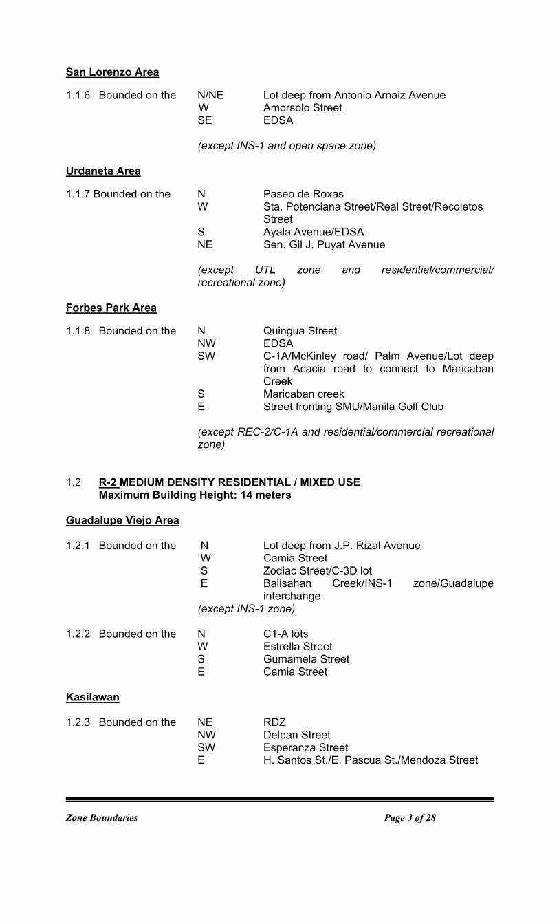
San Lorenzo Area 1.1.6 Bounded on the N/NE Lot deep from Antonio Arnaiz Avenue
W Amorsolo Street SE EDSA
(except INS-1 and open space zone)
Urdaneta Area 1.1.7 Bounded on the N Paseo de Roxas
W Sta. Potenciana Street/Real Street/Recoletos Street
S Ayala Avenue/EDSA NE Sen. Gil J. Puyat Avenue
(except UTL zone and residential/commercial/ recreational zone)
Forbes Park Area 1.1.8 Bounded on the N Quingua Street
NW EDSA SW C-1A/McKinley road/ Palm Avenue/Lot deep
from Acacia road to connect to Maricaban Creek
S Maricaban creek E Street fronting SMU/Manila Golf Club
(except REC-2/C-1A and residential/commercial recreational zone)
1.2 R-2 MEDIUM DENSITY RESIDENTIAL / MIXED USE Maximum Building Height: 14 meters Guadalupe Viejo Area
1.2.1 Bounded on the N Lot deep from J.P. Rizal Avenue
W Camia Street S Zodiac Street/C-3D lot E Balisahan Creek/INS-1 zone/Guadalupe
interchange (except INS-1 zone)
1.2.2 Bounded on the N C1-A lots W Estrella Street S Gumamela Street
E Camia Street
Kasilawan
1.2.3 Bounded on the NE RDZ NW Delpan Street
SW Esperanza Street E H. Santos St./E. Pascua St./Mendoza Street
Zone Boundaries Page 4 of 28
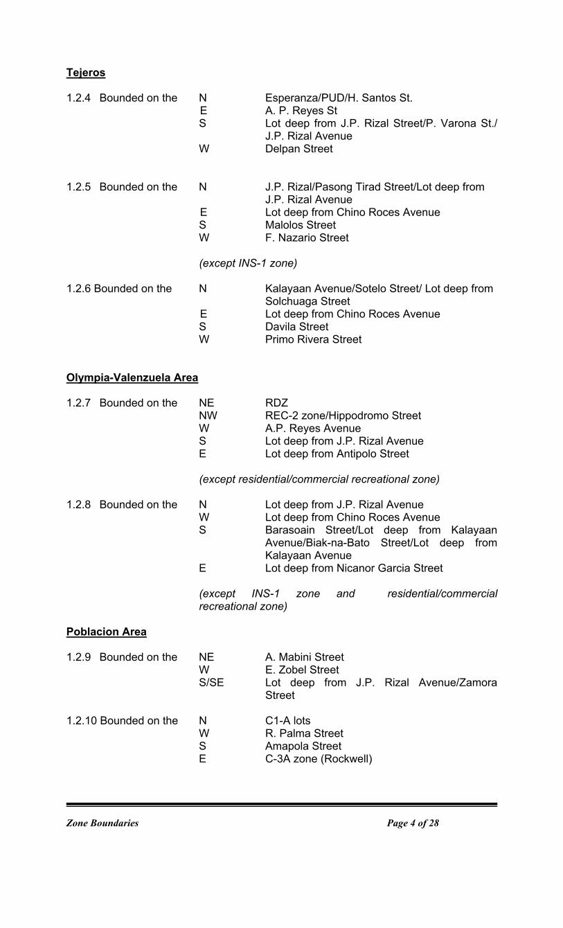
Tejeros
1.2.4 Bounded on the N Esperanza/PUD/H. Santos St. E A. P. Reyes St
S Lot deep from J.P. Rizal Street/P. Varona St./ J.P. Rizal Avenue
W Delpan Street
1.2.5 Bounded on the N J.P. Rizal/Pasong Tirad Street/Lot deep from
J.P. Rizal Avenue E Lot deep from Chino Roces Avenue
S Malolos Street W F. Nazario Street
(except INS-1 zone)
1.2.6 Bounded on the N Kalayaan Avenue/Sotelo Street/ Lot deep from Solchuaga Street
E Lot deep from Chino Roces Avenue S Davila Street W Primo Rivera Street
Olympia-Valenzuela Area 1.2.7 Bounded on the NE RDZ
NW REC-2 zone/Hippodromo Street W A.P. Reyes Avenue
S Lot deep from J.P. Rizal Avenue E Lot deep from Antipolo Street
(except residential/commercial recreational zone)
1.2.8 Bounded on the N Lot deep from J.P. Rizal Avenue
W Lot deep from Chino Roces Avenue S Barasoain Street/Lot deep from Kalayaan
Avenue/Biak-na-Bato Street/Lot deep from Kalayaan Avenue
E Lot deep from Nicanor Garcia Street
(except INS-1 zone and residential/commercial recreational zone)
Poblacion Area
1.2.9 Bounded on the NE A. Mabini Street
W E. Zobel Street S/SE Lot deep from J.P. Rizal Avenue/Zamora
Street 1.2.10 Bounded on the N C1-A lots
W R. Palma Street S Amapola Street E C-3A zone (Rockwell)
Zone Boundaries Page 5 of 28
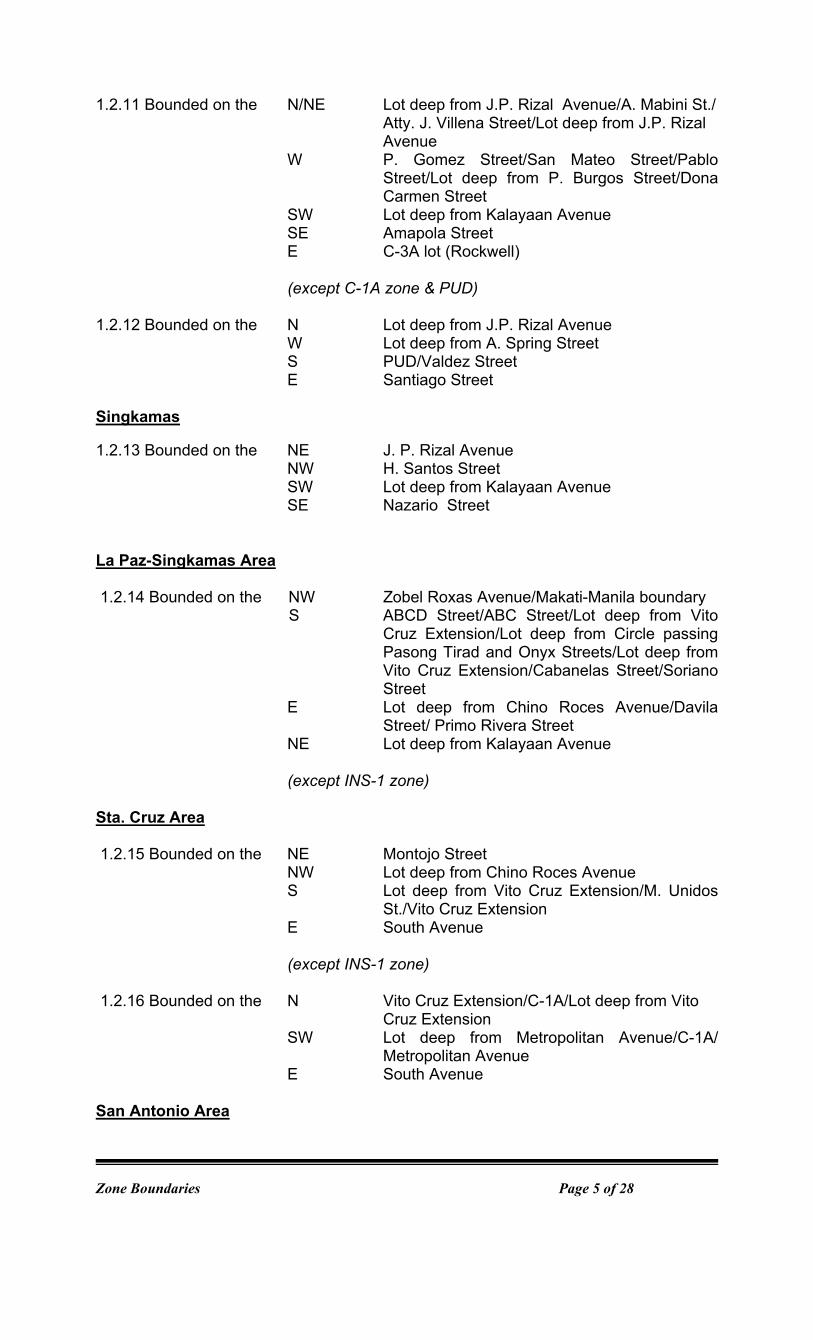
1.2.11 Bounded on the N/NE Lot deep from J.P. Rizal Avenue/A. Mabini St./ Atty. J. Villena Street/Lot deep from J.P. Rizal Avenue
W P. Gomez Street/San Mateo Street/Pablo Street/Lot deep from P. Burgos Street/Dona Carmen Street
SW Lot deep from Kalayaan Avenue SE Amapola Street
E C-3A lot (Rockwell)
(except C-1A zone & PUD) 1.2.12 Bounded on the N Lot deep from J.P. Rizal Avenue
W Lot deep from A. Spring Street S PUD/Valdez Street
E Santiago Street Singkamas 1.2.13 Bounded on the NE J. P. Rizal Avenue NW H. Santos Street SW Lot deep from Kalayaan Avenue SE Nazario Street La Paz-Singkamas Area 1.2.14 Bounded on the NW Zobel Roxas Avenue/Makati-Manila boundary
S ABCD Street/ABC Street/Lot deep from Vito Cruz Extension/Lot deep from Circle passing Pasong Tirad and Onyx Streets/Lot deep from Vito Cruz Extension/Cabanelas Street/Soriano Street
E Lot deep from Chino Roces Avenue/Davila Street/ Primo Rivera Street
NE Lot deep from Kalayaan Avenue
(except INS-1 zone)
Sta. Cruz Area 1.2.15 Bounded on the NE Montojo Street NW Lot deep from Chino Roces Avenue S Lot deep from Vito Cruz Extension/M. Unidos
St./Vito Cruz Extension E South Avenue
(except INS-1 zone) 1.2.16 Bounded on the N Vito Cruz Extension/C-1A/Lot deep from Vito Cruz Extension
SW Lot deep from Metropolitan Avenue/C-1A/ Metropolitan Avenue
E South Avenue San Antonio Area

Zone Boundaries Page 6 of 28
1.2.17 Bounded on the N Lot deep from Kamagong Street
NW Akle Street/Mayapis Street/Zobel Roxas Avenue
SW Philippine National Railways (PNR) right-of-way
S Drainage Canal E Lot deep from Chino Roces Avenue
(except C-1A zone) 1.2.18 Bounded on the NE Lot deep from Kamagong Street NW Lot deep from Chino Roces Avenue S Lot deep from Bagtican Street
Palanan Area
1.2.19. Bounded on the NW Lot deep from Zobel Roxas Avenue W Estero de Tripa de Gallina Creek S Lot deep from Emilia Street E Lot deep from Bautista Street 1.2.20 Bounded on the NW Lot deep from Zobel Roxas Avenue
W Lot deep from Bautista Street S Lot deep from Emilia Street E Lot deep from Dian Street
1.2.21 Bounded on the NW Lot deep from Zobel Roxas Avenue W Lot deep from Dian Street S Lot deep Emilia Street E Lot deep from Filmore Street San Isidro Area 1.2.22 Bounded on the N Lot deep from Finlandia Street SW Estero de Tripa de Gallina S Lot deep from Antonio Arnaiz Avenue/C-1A lot NE Lot deep from Edison Street/Grandeur
Street/Lot deep from Dian Street/Lot deep from Edison Street
1.2.23 Bounded on the N Lot deep from Finlandia Street W Lot deep from Bautista Street SW Lot deep from Edison Street NE Lot deep from Dian Street 1.2.24 Bounded on the N Lot deep from Dian Street SW Lot deep from Edison Street NE Lot deep from Batangas Street 1.2.25 Bounded on the N Lot deep from Finlandia Street W Lot deep from Batangas Street S Zanzibar Street/Creek NE C-2B zone/Zanzibar Street/Rockefeller
Street/P. Binay St./Honduras Street/Arthur Street

Zone Boundaries Page 7 of 28
Pio del Pilar 1.2.26 Bounded on the NW Lot deep from De la Rosa Street
W P. Medina Street S Lot deep from Antonio Arnaiz Avenue E C-3C Zone
(except INS-1 zone)
1.2.27 Bounded on the N/NW Zanzibar Street/Creek
SW Lot deep from Batangas Street S San Antonio St. E Capt. Reynaldo Street
Pio del Pilar-Bangkal Area 1.2.28 Bounded on the N Balderama Street W Estero de Tripa de Gallina SW Makati-Pasay City boundary E Lot deep from M. Reyes Street 1.2.29 Bounded on the N Arguelles Street W Lot deep from Evangelista Street S Lot deep from EDSA E Rodriguez Avenue/Hen. G. Del Pilar Street/A.
Apolinario Street/Hen. J. Lacuna Street/Rodriguez Avenue/Hen. S. Estrella Street/A. Apolinario Street
1.2.30 Bounded on the N Balderama Street W Lot deep from M. Reyes Street S Makati-Pasay boundary E General P. Santos Street/Lot deep from
Evangelista Street Guadalupe Nuevo 1.2.31 Bounded on the N Manggahan Street W Lot deep from Magsaysay Street/Lot deep from
Sta. Rita Street SW EscuelaStreet/INS-1/Gov.Noble Street/Luzon
Street/ Lot deep from Kalayaan Avenue E Lot deep from Sgt. F. Yabut Circle
(except PUD) 1.2.32 Bounded on the N J.P. Rizal Avenue W/NW Cloverleaf/C-3C zone/UTL/P. Burgos Street/
Reposo Street/Manggahan Street/Lot deep from Sgt. F. Yabut Circle
SE Lot deep from Kalayaan Avenue/Sgt. Fabian Yabut Circle/Kalayaan Avenue
E San Jose Creek

Zone Boundaries Page 8 of 28
Guadalupe Nuevo–Pitogo–Pinagkaisahan-South Cembo Area 1.2.33 Bounded on the N Lot deep from Kalayaan
Avenue/Palawan/Panay/Lot deep from Kalayaan Avenue/Limbo St/ Gracia St.
W C-1A Zone S Quingua Street/SMU/UTL SE SMU Pinagkaisahan-Pitogo Area
1.2.34 Bounded on the NE Luzon Street/Lot deep from Escuela Street
NW Creek S Lot deep from Kalayaan Avenue
Cembo-Post Proper Northside Area 1.2.35 Bounded on the N C-1A NW PUD W San Jose Creek S Kalayaan Avenue/PUD/Kalayaan Avenue E Lawton Avenue
West Rembo-Post Proper Northside Area
1.2.36 Bounded on the NE Lot deep from J.P. Rizal Avenue Ext/INS-1
W Lawton Avenue S Kalayaan Avenue SE Lot deep from C-5
West Rembo-East Rembo Area 1.2.37 Bounded on the NE Kalayaan Avenue
SW SMU E C-5
1.2.38 Bounded on the NE Lot deep from J.P. Rizal Avenue Extension
W Lot deep from C-5/Ins-1/Lot deep from C-5 SW Kalayaan Avenue SE Lot deep from J.P. Rizal Avenue Extn.
East Rembo-Comembo Area 1.2.39 Bounded on the N RDZ
NW J.P. Rizal Avenue Extension/Kalayaan Avenue/Lot deep from J.P. Rizal Avenue Extension/INS-1/Lot deep from J.P. Rizal Avenue Extension
SE/E Pateros Creek
(except INS-1 Zone)
Zone Boundaries Page 9 of 28
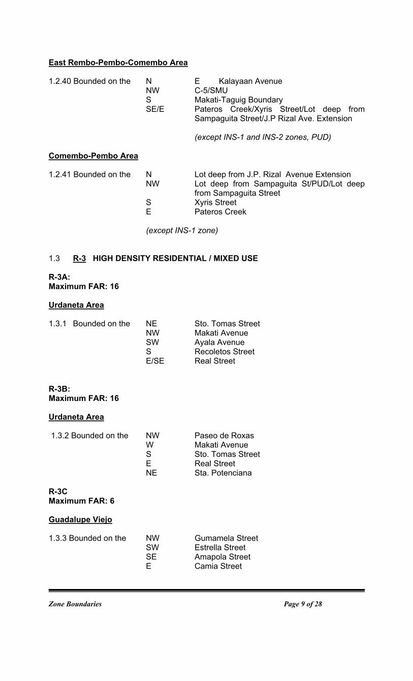
East Rembo-Pembo-Comembo Area
1.2.40 Bounded on the N E Kalayaan Avenue
NW C-5/SMU S Makati-Taguig Boundary SE/E Pateros Creek/Xyris Street/Lot deep from
Sampaguita Street/J.P Rizal Ave. Extension (except INS-1 and INS-2 zones, PUD)
Comembo-Pembo Area
1.2.41 Bounded on the N Lot deep from J.P. Rizal Avenue Extension
NW Lot deep from Sampaguita St/PUD/Lot deep from Sampaguita Street
S Xyris Street E Pateros Creek
(except INS-1 zone)
1.3 R-3 HIGH DENSITY RESIDENTIAL / MIXED USE R-3A: Maximum FAR: 16
Urdaneta Area
1.3.1 Bounded on the NE Sto. Tomas Street NW Makati Avenue SW Ayala Avenue S Recoletos Street E/SE Real Street
R-3B: Maximum FAR: 16 Urdaneta Area 1.3.2 Bounded on the NW Paseo de Roxas W Makati Avenue S Sto. Tomas Street E Real Street NE Sta. Potenciana
R-3C Maximum FAR: 6
Guadalupe Viejo
1.3.3 Bounded on the NW Gumamela Street SW Estrella Street SE Amapola Street E Camia Street

Zone Boundaries Page 10 of 28
2. COMMERCIAL / MIXED USE 2.1 C-1 LOW DENSITY COMMERCIAL/MIXED USE C-1A Maximum FAR: 4 Palanan Area 2.1.1 Lot deep on both sides of Bautista Street from Zobel Roxas Avenue up to Emilia
Street. 2.1.2 Lot deep on both sides of Dian Street from Zobel Roxas Avenue up to Emilia
Street. 2.1.3 Lot deep on the west side of Filmore Street from Zobel Roxas Avenue up to
Emilia Street. 2.1.4 Lot deep on the northwestern side of Emilia Street from Filmore Street up to
Makati-Pasay boundary. 2.1.5 Lot deep on the southeastern side of Zobel Roxas from Filmore Street up to
R-2A lot (near Makati-Pasay boundary).
San Isidro 2.1.6 Lot deep on both sides of Edison Street from Finlandia Street up to Antonio
Arnaiz Avenue; Lot deep on both sides of Bautista Street up to Finlandia Street and Edison Street.
2.1.7 Lot deep on both sides of Dian Street from Finlandia up to Marconi Streets.
2.1.8 Lot deep on the southeastern side of Finladia Street from Arthur Street up to R-2
zone (near Makati-Pasay boundary).
2.1.9 Lot deep on the northwestern side of Arnaiz Avenue from Marconi up to Makati-Pasay boundary.
San Isidro-Pio del Pilar Area 2.1.10 Lot deep on both sides of Batangas Street from Finlandia Street up to Antonio
Arnaiz Avenue. Pio Del Pilar 2.1.10 Lot deep on the northern side of Arnaiz Avenue from Santillan Street up to P.
Medina Street.
2.1.11 Lot deep on the southeastern side of Dela Rosa Street from Santillan Street up to P. Medina Street.
2.1.12 Lot deep on the northern side of Arnaiz Avenue from Santillan Street and P.
Medina Street.

Zone Boundaries Page 11 of 28
2.1.13 Bounded on the N San Antonio Street W Batangas Street/Antonio Arnaiz
Avenue/Makati-Pasay boundary S Balderama Street E EvangelistaStreet/Antonio Arnaiz
Avenue/Reynaldo Street
Pio del Pilar-Bangkal Area 2.1.14 Bounded on the N Balderama Street
W Lot deep from Evangelista Street/Hen. P. Santos Street
S EDSA E Lot deep from Evangelista Street/Hen. P.
Santos Street/P.Garcia St./Lot deep from Evangelista Street/C-2B zone/ Evangelista Street
Bangkal Area 2.1.15 Bounded on the N Hen. J. Lacuna Street
W A. Apolinario Street S Hen. G. Del Pilar Street E Rodriguez Street
2.1.16 Lot deep on the northern side of EDSA from Rodriguez Avenue up to Evangelista
Street.
Magallanes Area
2.1.17 Bounded on the N EDSA W Makati-Pasay boundary/Victoria Street/ Lapu-
Lapu Avenue SE Magallanes Avenue/Humabon Street/ INS-1
zone NE SLEX
San Antonio Area 2.1.18 Bounded on the N Bagtikan Street W Chino Roces Avenue S Yakal Street E Ayala Avenue Extension/Kamagong Street 2.1.19 Bounded on the N Bagtikan Street/R-2A/Creek W PNR right-of-way S Yakal Street
E Chino Roces Avenue 2.1.20 Bounded on the NW Lot deep from Sampaloc Street SW Lot deep from Lumbayao Street S Lot deep from St. Paul Street SE St. Paul Street NE Lot deep from Estrella Street
Zone Boundaries Page 12 of 28
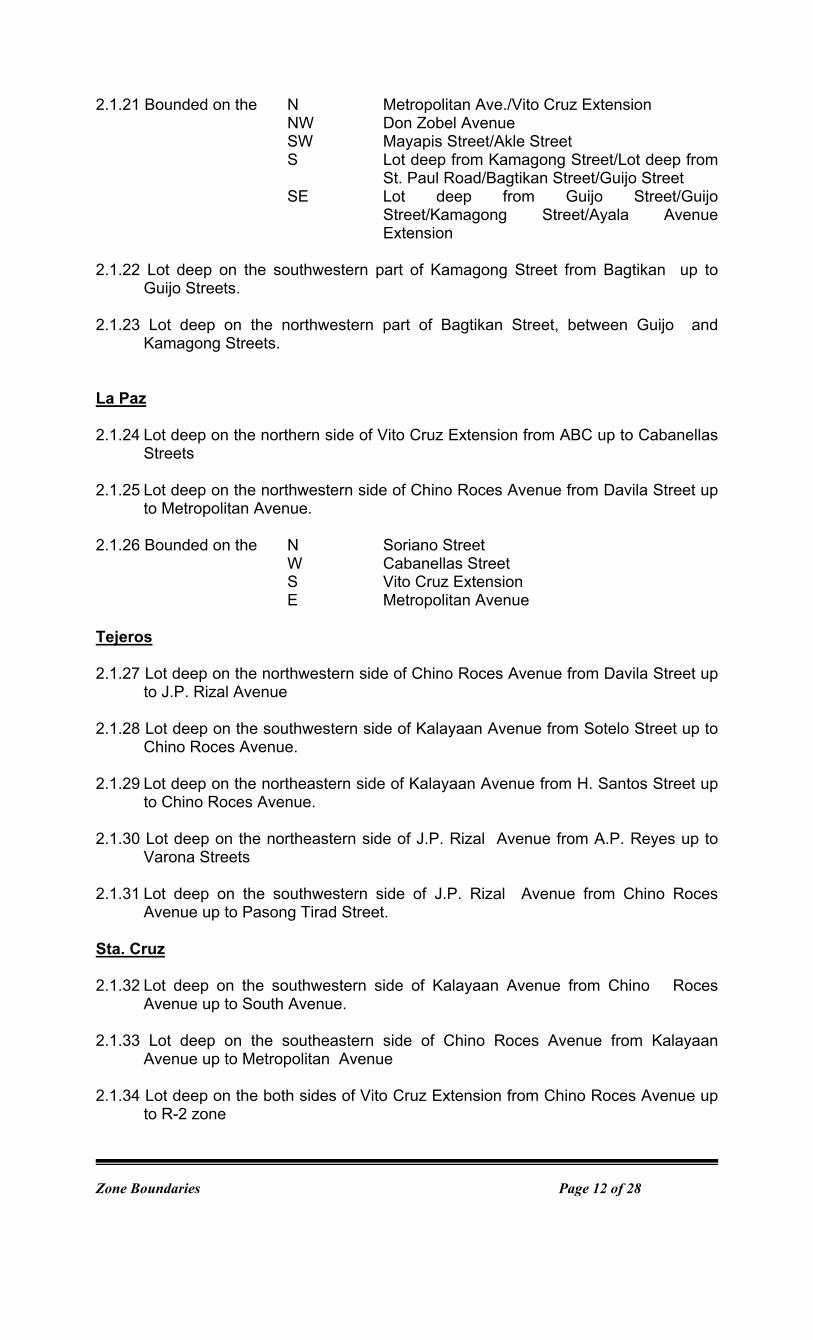
2.1.21 Bounded on the N Metropolitan Ave./Vito Cruz Extension NW Don Zobel Avenue SW Mayapis Street/Akle Street S Lot deep from Kamagong Street/Lot deep from
St. Paul Road/Bagtikan Street/Guijo Street SE Lot deep from Guijo Street/Guijo
Street/Kamagong Street/Ayala Avenue Extension
2.1.22 Lot deep on the southwestern part of Kamagong Street from Bagtikan up to
Guijo Streets. 2.1.23 Lot deep on the northwestern part of Bagtikan Street, between Guijo and
Kamagong Streets.
La Paz
2.1.24 Lot deep on the northern side of Vito Cruz Extension from ABC up to Cabanellas
Streets 2.1.25 Lot deep on the northwestern side of Chino Roces Avenue from Davila Street up
to Metropolitan Avenue. 2.1.26 Bounded on the N Soriano Street
W Cabanellas Street S Vito Cruz Extension E Metropolitan Avenue
Tejeros
2.1.27 Lot deep on the northwestern side of Chino Roces Avenue from Davila Street up
to J.P. Rizal Avenue 2.1.28 Lot deep on the southwestern side of Kalayaan Avenue from Sotelo Street up to
Chino Roces Avenue.
2.1.29 Lot deep on the northeastern side of Kalayaan Avenue from H. Santos Street up to Chino Roces Avenue.
2.1.30 Lot deep on the northeastern side of J.P. Rizal Avenue from A.P. Reyes up to Varona Streets
2.1.31 Lot deep on the southwestern side of J.P. Rizal Avenue from Chino Roces Avenue up to Pasong Tirad Street.
Sta. Cruz
2.1.32 Lot deep on the southwestern side of Kalayaan Avenue from Chino Roces Avenue up to South Avenue.
2.1.33 Lot deep on the southeastern side of Chino Roces Avenue from Kalayaan
Avenue up to Metropolitan Avenue
2.1.34 Lot deep on the both sides of Vito Cruz Extension from Chino Roces Avenue up to R-2 zone

Zone Boundaries Page 13 of 28
2.1.35 Lot deep on the northeastern side of Metropolitan Avenue from Chino Roces Avenues up to R-2 zone
Olympia
2.1.36 Lot deep on both sides of J.P. Rizal from Pateros Street/Legaspi Street up to AP Reyes Street/ Chino Roces Avenue
2.1.37 Lot deep on the eastern side of Chino Roces Avenue from J.P. Rizal Avenue up to Kalayaan Avenue.
2.1.38 Lot deep on the Northeastern side of Kalayaan Avenue from Chino Roces
Avenue up to Pililia Street.
Singkamas 2.1.39 Lot deep on both sides of Kalayaan Avenue from Makati-Manila boundary up to
H. Santos Street/Sotelo Street
Valenzuela
2.1.40 Lot deep on both sides of J.P. Rizal Avenue from Legaspi Street/Pateros Street and Nicanor Garcia Street
2.1.41 Lot deep on the northwestern side of Nicanor Garcia up to J.P. Rizal Avenue
and Kalayaan Avenue.
2.1.42 Lot deep on the northeastern side of Kalayaan Avenue from Pililia Street up to Nicanor Garcia Street.
Poblacion 2.1.43 Lot deep on the northeastern side of Nicanor Garcia Street from Kalayaan
Avenue up to J.P. Rizal Avenue.
2.1.44 Lot deep on the northeastern side of J.P. Rizal Avenue from Antipolo Street up to Cardona Street.
2.1.45 Lot deep on the southwestern side of J.P. Rizal Avenue from Nicanor Garcia
Street up to Roxas Street. 2.1.46 Lot deep on the northeastern side of J.P. Rizal Avenue from E. Zobel Street up
to Mabini Street.
2.1.47 Lot deep on the eastern side of P. Burgos Street from Roxas Street up to Kalayaan Avenue.
2.1.48 Lot deep on the northeastern side of Kalayaan Avenue from Doña Carmen Street
up to Amapola Street.
2.1.49 Bounded on the N J.P. Rizal Avenue W Santiago Street S Valdez Street E C-2B zone

Zone Boundaries Page 14 of 28
2.1.50 Bounded on the N Gen. Luna Street W Salamanca street
S Kalayaan Avenue E C-2B zone
2.1.51 Bounded on the N J.P. Rizal Avenue
W Burgos Street S Roxas Street E P. Gomez Street
2.1.52 Bounded on the N J.P. Rizal Avenue W Villena Street/Palma Street S R2A zone/C-3A zone E Rockwell Drive 2.1.53 Bounded on the NE Kalayaan Avenue NW Felipe Street SW Polaris Street SE Orion Street 2.1.54 Bounded on the N J.P. Rizal Avenue
W Rockwell Drive S C-3A zone E Estrella Street
2.1.55 Lots 16 and 17, Blk 5, (LRC), Pcs-674 Dasmarinas 2.1.56 Bounded on the NW EDSA SW Antonio Arnaiz Avenue
SE Paraiso Street NE R-1 zone
Dasmarinas-Forbes Park Area 2.1.57 Bounded on the NW EDSA SW/S Service Road linking EDSA and McKinley
Road E Drainage Canal Forbes Park 2.1.59 Bounded on the N McKinley Road W INS-1 lots SE Palm Avenue
Pinagkaisahan-Guadalupe Nuevo Area
2.1.60 Bounded on the N Escuela Street
NW EDSA S Quingua Street E Lot deep from southeast side of EDSA
2.1.61 Lot deep on the southeastern side of Escuela Street from EDSA up to Palawan
Street.
Zone Boundaries Page 15 of 28
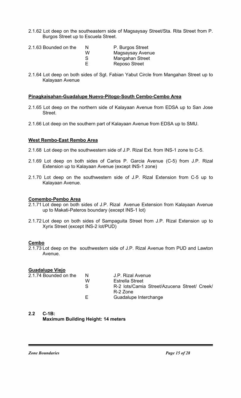
2.1.62 Lot deep on the southeastern side of Magsaysay Street/Sta. Rita Street from P. Burgos Street up to Escuela Street.
2.1.63 Bounded on the N P. Burgos Street W Magsaysay Avenue S Mangahan Street E Reposo Street 2.1.64 Lot deep on both sides of Sgt. Fabian Yabut Circle from Mangahan Street up to
Kalayaan Avenue
Pinagkaisahan-Guadalupe Nuevo-Pitogo-South Cembo-Cembo Area 2.1.65 Lot deep on the northern side of Kalayaan Avenue from EDSA up to San Jose
Street. 2.1.66 Lot deep on the southern part of Kalayaan Avenue from EDSA up to SMU.
West Rembo-East Rembo Area 2.1.68 Lot deep on the southwestern side of J.P. Rizal Ext. from INS-1 zone to C-5. 2.1.69 Lot deep on both sides of Carlos P. Garcia Avenue (C-5) from J.P. Rizal
Extension up to Kalayaan Avenue (except INS-1 zone) 2.1.70 Lot deep on the southwestern side of J.P. Rizal Extension from C-5 up to
Kalayaan Avenue. Comembo-Pembo Area 2.1.71 Lot deep on both sides of J.P. Rizal Avenue Extension from Kalayaan Avenue
up to Makati-Pateros boundary (except INS-1 lot) 2.1.72 Lot deep on both sides of Sampaguita Street from J.P. Rizal Extension up to
Xyrix Street (except INS-2 lot/PUD) Cembo 2.1.73 Lot deep on the southwestern side of J.P. Rizal Avenue from PUD and Lawton
Avenue. Guadalupe Viejo 2.1.74 Bounded on the N J.P. Rizal Avenue W Estrella Street S R-2 lots/Camia Street/Azucena Street/ Creek/
R-2 Zone E Guadalupe Interchange 2.2 C-1B:
Maximum Building Height: 14 meters

Zone Boundaries Page 16 of 28
Poblacion-Bel-Air Area 2.1.75 Lot deep on the southern side of Polaris Street from Jupiter Street up to Orion
Street alignment.
2.1.76 Bounded on the N Kalayaan Avenue NW/SW R-1 zone/ Lot deep from Makati Avenue S Lot deep from Jupiter Street E Polaris Street/Anza Street/Makati Avenue
2.1.77 Lot deep on the southeastern side of Orion Street from Kalayaan Avenue up to Polaris Street.
2.1.78 Lot deep on the northern side of Jupiter Street from Nicanor Garcia Street up to
Zodiac Street.
2.1.79 Lot on the southwestern side of Estrella Street from Amapola Street up to EDSA.
2.1.80 Lot on the both sides of Nicanor Garcia Street from Jupiter Street up to Constellation Street/CEM zone.
Poblacion-Valenzuela Area 2.1.81 Lot deep on both sides of Antipolo Street from C-1A Zone up to Osmena Streets. Bangkal 2.1.82 Lot deep on both sides of M. Reyes Street from Valderama Street up to Makati-
Pasay boundary. San Lorenzo 2.1.83 Lot deep on the southern side of Arnaiz Avenue from Amorsolo Street up to
EDSA.
2.2 C-2 MEDIUM DENSITY COMMERCIAL / MIXED USE C-2A Maximum FAR: 4 , Conditional FAR 8 San Lorenzo-Pio del Pilar-Bangkal-Magallanes Area
2.2.1 Bounded on the N Antonio S. Arnaiz Avenue
W PNR right-of-way S Maricaban Creek E OPN zone
(except INS-1 zone)

Zone Boundaries Page 17 of 28
C-2B Maximum FAR: 6 Bangkal-Pio del Pilar-San Isidro Area 2.2.2 Bounded on the NW Antonio Arnaiz Avenue W Evangelista Street/Cuangco Street/C-1A zone/
Arguelles Street/A. Apolinario Street/Hen. S. Estrella Street/Rodriguez Street
S EDSA NE SLEX
2.2.3 Bounded on the N Finlandia Street
SW Arthur Street/Honduras Street/Binay Avenue/ Rockefeller Street/Zanzibar Street/R-2 zone/ Creek/Reynaldo Street
S Antonio Arnaiz Avenue NE SLEX
Palanan-San Isidro Area 2.2.4 Bounded on the N Emilia Street W Makati-Pasay boundary S Finlandia Street E Batangas Street/Filmore Street Palanan 2.2.5 Bounded on the NW Zobel Street SW Filmore street S Casino Street E SLEX Poblacion 2.2.7 Bounded on the N Lot deep from J.P. Rizal Avenue
W Lot deep from Makati Avenue S B. Valdez Street E Makati Avenue
2.2.8 Bounded on the N Gen. Luna Street W Lot deep from Makati Avenue
S Kalayaan Avenue E Makati Avenue
2.2.9 Bounded on the NE/N Kalayaan Avenue/Ebro Street/Lot deep from P.
Burgos Street W Anza Street S Polaris Street SE Felipe Street 2.3 C-3 HIGH DENSITY COMMERCIAL / MIXED USE C-3A Maximum FAR: 16

Zone Boundaries Page 18 of 28
San Lorenzo 2.3.1 Bounded on the SE EDSA SW Antonio Arnaiz Avenue NW Paseo de Roxas N Legazpi Street/De la Rosa Street/Makati
Avenue/Ayala Avenue Poblacion 2.3.2 Bounded on the N J.P. Rizal Street W Access road beside C-1A zone/R-2 zone S Amapola Street E Estrella Street/C-1 zone/Access road beside C-
1A zone 2.3.3 Bounded on the N B. Valdez Street W PUD zone S Gen. Luna Street E Makati Avenue
Required to provide public access road to link Salamanca and Santiago Streets while still retaining air rights over it. Access to Makati Avenue shall be limited.
San Antonio-Pio del Pilar Area 2.3.4 Bounded on the N Malugay Street
W Mayapis Street/P. Medina Street S De la Rosa Street/C-3C zone/Export Bank
Drive E Export Bank Drive/Sen. Gil Puyat Avenue/
Amorsolo Canal C-3B Maximum FAR: 8/16 (See Article V, Section 19.) Poblacion 2.3.5 Bounded on the W Makati Avenue
SE Lot deep from P. Burgos Street E Kalayaan Avenue/P. Burgos Street
C-3C Maximum FAR: 8
San Antonio 2.3.6 Bounded on the N Yakal Street W Mayapis Street S Malugay E INS-1 zone San Lorenzo-Pio del Pilar Area 2.3.7 Bounded on the NW Export Bank Drive

Zone Boundaries Page 19 of 28
W C-3A lots/De la Rosa Street/Lot deep from Chino Roces Avenue
S Antonio Arnaiz Avenue E OPN zone
Palanan-San Isidro Area 2.3.8 Bounded on the N Drainage Canal W Filmore Street S Finlandia Street E SLEX Guadalupe Nuevo 2.3.9 Bounded on the N Guadalupe interchange W/NW C-3D zone/Sgt. Fabian Yabut Circle S Burgos Street
E Lot deep from Sgt Fabian Yabut Circle C-3D Maximum FAR: 8/12
Guadalupe Viejo-Guadalupe Nuevo Area 2.3.10 Bounded on the N Bernardino Street
W/S INS-1 zone (San Carlos seminary) E EDSA
2.3.11 Bounded on the NE INS-1 zone (San Carlos seminary) W/NW INS-1 zone (San Carlos seminary)/Creek
bordering R-2 zone (Palm Village)/Zodiac Street
SW Estrella Street SE EDSA
2.3.12 Bounded on the N Guadalupe interchange W EDSA S Escuela Street E Sta. Rita/Magsaysay Street/P. Burgos Street/
Sgt Fabian Yabut Circle/C-3C zone
2.4 C-4 CENTRAL BUSINESS DISTRICT
C-4A Maximum FAR: 16 Bel-Air Area
2.4.1 Bounded on the N Service Road/C-4F zone/De la Costa Street/
Valero Street/Sen. Gil J. Puyat Avenue SW Ayala Avenue SE Paseo de Roxas
E Makati Avenue

Zone Boundaries Page 20 of 28
C-4B Maximum FAR: 16 San Lorenzo 2.4.2 Bounded on the N Sen. Gil J. Puyat Avenue W OPN zone/Amorsolo Street S/SW De la Rosa Street SE Makati Avenue NE Ayala Avenue C- 4C Maximum FAR: 16 Bel-Air 2.4.3 Bounded on the N Paseo de Roxas
SW Ayala Avenue SE Makati Avenue
C- 4D Maximum FAR: 16 Urdaneta 2.4.4 Bounded on the NE Sen. Gil J. Puyat Avenue NW Makati Avenue SE Paseo de Roxas C - 4E Maximum FAR: 8/16 (See Article V, Section 20.) San Lorenzo 2.4.5 Bounded on the N/NE De la Rosa Street
W Amorsolo Street S/E Antonio Arnaiz Avenue/Paseo de Roxas E Legaspi Street
(except residential/commercial/recreational zone) C - 4F Maximum FAR: 8/16 (See Article V, Section 20.) Bel-Air 2.4.6 Bounded on the N Sen. Gil J. Puyat Avenue W/S Valero Street/De la Costa Street E C-4A zone/Service road/C-4G zone
(except REC-3 zone, residential/commercial recreational zone)
C-4G Maximum FAR: 12 Bel-Air

Zone Boundaries Page 21 of 28
2.4.7 Bounded on the N Sen. Gil J. Puyat Avenue SW Service road E Makati Avenue
C-4H Maximum FAR: 6/Conditional FAR 8 (See Article V, Section 20.) Bel-Air 2.4.8 Bounded on the N Jupiter Street/Metropolitan Avenue
W Ayala Avenue Extension S Sen. Gil J. Puyat Avenue SE EDSA/Alley beside R-1 zone
LIST OF C-4 PRINCIPAL STREETS, SERVICE ROADS, ACCESS ROADS AND SIDE STREETS
Principal Streets: Dela Costa, Tordesillas, Alfaro, Valero, Sanchez, Gallardo (Salcedo Village), Toledo, Herrera (between Alfaro and Valero), Sedeno (between Alfaro and Valero), Villar (between Alfaro and Valero), Dela Rosa (between Amorsolo and Legazpi), Esteban, Perea, Legazpi (between Dela Rosa and De la Rosa), Salcedo (between Dela Rosa and Benavides), Amorsolo (between Dela Rosa and Antonio Arnaiz), Herrera (between Dela Rosa and Amorsolo), Rada, C. Palanca, Paseo de Roxas (between Dela Rosa and Antonio Arnaiz), Trasierra, Gamboa, Aguirre, Benavidez
Service Roads: Adelantado, Sotto, Bolanos, Ormaza, Rodriguez, Castro, Gil,
Nieva, Gallardo (Legazpi Village), Soria, Jimenez, San Agustin, Soliman, Bautista, Lakandula, Service Road (beside C-4G zone)
Access Roads: Roads between and parallel to Ayala Avenue and De la Rosa
Street and their connecting roads to De la Rosa Street; Roads between and parallel to Ayala Avenue/Paseo de Roxas/Makati Avenue and Valero Street and their connecting roads to Valero Street; Road through C-4D zone connecting Makati Avenue to Paseo de Roxas
Side Streets: Geronimo, Herrera (between Valero and Dela Rosa), Sedeno
(between Paseo de Roxas and Valero), Villar (between Paseo de Roxas and Valero), Dela Costa (between Makati Avenue and Valero), Salcedo (between Ayala Avenue and Dela Rosa), Paseo de Roxas (between Ayala Avenue and Dela Rosa), Legazpi (between Ayala Avenue and Dela Rosa), Amorsolo (between Ayala Avenue and De la Rosa), Real (between Sta. Potenciana and Recoletos)
3. INSTITUTIONAL / MIXED USE 3.1 INS-1 GENERAL INSTITUTIONAL / MIXED USE
Maximum FAR: 4 San Lorenzo 3.1.1 Bounded on the NE OPN zone
Zone Boundaries Page 22 of 28
W San Lorenzo Drive SE Ponce Street 3.1.2 Bounded on the N Antonio Arnaiz Avenue W C-2A lot/Chino Roces Avenue S Don Bosco Street E OPN zone
Dasmariñas 3.1.3 Bounded on the NW Lot deep from Palm Avenue/ Palm Avenue
SW Carissa Street SE Lumbang Street/Lot deep from Lumbang Street NE Lot deep from Antonio Arnaiz Avenue
Forbes 3.1.4 Bounded on the N McKinley Road W Lot deep from Banyan Street S Palm Avenue E Narra Avenue La Paz Area
3.1.5 Bounded on the N ABCD Street W Zobel-Roxas Avenue S Vito Cruz Extension E ABC Street Singkamas (Makati Coliseum)
3.1.6 Bounded on the NW R-2 zone
SW Davila Street SE R-2 zone NE Mascardo Street Sta. Cruz Area 3.1.7 Bounded on the N R-2 zone
W Kakarong Street S Yague Street E South Avenue
Guadalupe Viejo
3.1.8 Bounded on the N Coronado Street W Gonzales Street/Bernardino Street/ Progreso 2
Street/R-2 zone/Balisampan Creek S C-3D zone/EDSA/C-3D zone E EDSA
3.1.9 Bounded on the NW Amapola Street SW Estrella Street SE Zodiac Street NE Camia Street
Zone Boundaries Page 23 of 28
3.1.11 Bounded on the N/S/W Balisampan Creek E R-2 zone Olympia Area 3.1.12 Bounded on the N San Anselmo Street
W R-2 zone S/E San Maximo Street
Bel-Air Area 3.1.13 Bounded on the N Kalayaan Avenue W Nicanor Garcia Street S Constellation Street E R-1 zone Magallanes 3.1.14 Bounded on the N C-1A zone
W/S Maricaban Creek E West Service Road/SLEX
Guadalupe Nuevo 3.1.15 Bounded on the N PUD zone N/W R-2 zone
S Escuela Street E Gov. Noble Street
West Rembo Area 3.1.16 Bounded on the N J.P Rizal Extension W Lawton Avenue S R-2 zone E R-2/C-1A zones East Rembo-Comembo-Pembo Area 3.1.17 Bounded on the N R-2/C-1A zones W Carlos P. Garcia Avenue (C-5) S C-1A/R-2 zones E R-2 zone 3.1.18 Bounded on the NE 19th Street
NW R-2 zone SW 20th Street
SE J.P. Rizal Extension 3.1.19 Bounded on the NE 15th Street NW JP Rizal Extension
SW 17th Street SE Pateros Creek 3.1.20 Bounded on the N Dahlia Street
W Cadena de Amor Street
Zone Boundaries Page 24 of 28
S Jasmin Street E Escuela Street
3.1.21 Bounded on the N Apitong Street/R-2 zone W Aguho Street S Anahaw Street E Alagao Street 3.1.22 Bounded on the N C-1A zone/31st Street
S/W C-1A zone E JP Rizal Extension
3.1.23 Bounded on the NW Balimbing Street
SW R-2 zone SE Lanzones Street NE C-1A zone
San Antonio Area 3.1.24 Bounded on the N Yakal Street
W C-3C/C-3A zone S Sen. Gil Puyat Avenue E REC-1 zone/Ayala Avenue Extension
Pio del Pilar Area 3.1.25 Rotunda at the junction of Washington Street/Wilson Street/S. Javier Street/A.
Santuico Street. 3.1.26 Rotunda at the junction of Washington Street/Hoover Street/E. Ramos Street/ M.
Antonio Street . Carmona
3.1.27 Bounded on the NE Villena Street NW R-2 zone SW Garcia Street SE R-2 zone
Tejeros
3.1.28 Bounded on the NE JP Rizal W R-2 zone W C-1A zone
W R-2 zone Cembo 3.1.29 Bounded on the N Camia Street W Jasmin Street S Acacia Street E R-2 zone 3.2 INS-2 MILITARY INSTITUTIONAL / MIXED USE
Maximum FAR: 2, applied to the gross land area of each subzone
Zone Boundaries Page 25 of 28
Comembo 3.2.1 Bounded on the N R-2 zone/29th Street S R-2 zone SW R-2 zone/Sampaguita Street SE C-1A zone/ 31st street/R-2 zone 4. GCZ GOVERNMENT CENTER
Maximum FAR: 4 or 14 mts. height Poblacion 4.1 Bounded on the NE S. Osmena Street NW Lot deep from Antipolo Street S Lot deep fromJ.P. Rizal Avenue/Cardona
Street/JP Rizal Avenue E E. Zobel Street 5. RECREATIONAL 5.1 REC-1 GENERAL PARK
Maximum Building Height: 10 meters La Paz Area 5.1.1 Bounded on the N/E/W Onyx Street S Vito Cruz Extension Pitogo 5.1.2 Area bounded by R-2 zone/D.V. Laurilla in the north, 32nd Avenue in the west and
southwest and by SMU zone in the east 5.2 REC-2 INSTITUTIONAL RECREATIONAL
Maximum Building Height: 14 meters
Carmona (Sta Ana Racetrack)
5.2.1 Bounded on the N RDZ W H. Santos Street/A. P. Reyes Street SW/SE Hippodromo Street E Lot deep from Fortuna Street
Forbes Park Area 5.2.2 Manila Polo Club: bounded on all sides by R1 zone (Forbes Park) 5.2.3 Manila Golf Club bounded on the N Quingua Street
NW R1 zone (Forbes Park) S/SW R-1 zone (Forbes Park)/McKinley Road E SMU
5.3 REC-3 SPORTS CLUB RECREATIONAL

Zone Boundaries Page 26 of 28
Maximum FAR: 4 5.3.1 Bel-Air Area (Makati Sports Club) bounded on the N Tordesillas Street W Gallardo Street S Alfonso Street E C-4F zone 6. OPN OPEN SPACE Guadalupe Nuevo-Guadalupe Viejo Area 6.1 Area bounded by the Guadalupe Interchange San Lorenzo-Dasmarinas Area 6.2 Bounded on the N Sen. Gil Puyat Avenue W Export Bank Drive/C-3C zone/INS-1 zone/C-2A
zone S San Lorenzo Creek E Amorsolo Street/C-4B zone 6.3 Bounded on the N San Lorenzo Creek W San Lorenzo Drive S INS-1 zone E Ponce Street San Antonio 6.4 Bounded on the N Malugay Street W Amorsolo Canal S Sen. Gil Puyat Avenue E Ayala Avenue Extension 7. RDZ RIVERSIDE DEVELOPMENT
Maximum Building Height: 10/14 meters (See Article V, Section 24.) 7.1 Bounded on the N Pasig River W Makati-Manila Boundary S R-2 zone/INS-1 zone/REC-2 zone/R-2/S.
Osmena Street/GCZ zone/S. Osmena Street/E. Zobel Street/A. Mabini/ Atty. Villena Street/J.P. Rizal Avenue/JP Rizal Extension /R-2 zone
E Pateros Creek 8. CEM CEMETERY
Maximum Building Height: 10 meters

Zone Boundaries Page 27 of 28
Sta. Cruz-Valenzuela Area 8.1 Bounded on the NE Kalayaan Avenue NW South Avenue SW Metropolitan Avenue SE C-1B zone/Nicanor Garcia Street 9. UTL - UTILITY
Maximum Building Height: 14 meters San Antonio-San Lorenzo-Dasmarinas Area 9.1 Philippine National Railways right-of-way, from Makati-Manila boundary in the
north to Makati-Taguig boundary in the south Magallanes 9.2 Bounded on the N R-1 zone W Makati-Pasay boundary S Maricaban Creek E R-1 zone/Victoria Street Guadalupe Nuevo 9.3 Bounded on the N/W C-3C zone S P. Burgos Street E R-2 zone Urdaneta 9.4 Bounded on the N Recoletos Street W Creek S EDSA E Recoletos Circle 10. PUD - Planned Unit Development Zone Kasilawan 10.1 Bounded on the N/NE Esperanza Street W R-2 zone SE H. Santos Street Poblacion 10.2 Bounded on the NE Valdez Street/R-2 lot/R1 lot NW Spring Street
SW Kalayaan Avenue SW Salamance Street/C-3A zone
Cembo

Zone Boundaries Page 28 of 28
10.3 Bounded on the N JP Rizal Avenue NW San Jose Creek SW R-2 zone SW R-2 zone/C1A zone
Guadalupe Nuevo 10.4 Bounded on the N/W C-1A zone SW R-2 zone S INS-1 E/NE Gov. Noble Street/R-2 Pembo 10.5 Bounded on the N Dahlia Street W Sampaguita Street S Gumamela Extension E Dahlia Extension Rizal 10.6 Bounded on the NW R-2 zone SW Milkweed Street SE 145 Street NE R-2 zone Poblacion 10.7 Bounded on the NE Osias Street NW Villena Street SW Gabaldon Street SW Palma Street 11. SMU - Special Mixed Used Zone (Bonifacio Global City) 11.1 Lots bounded by Kalayaan/R-2 zone/UTL zone/R-2/REC/Bridge/R-2/R1/
Maricaban Creek/Makati-Taguig Boundary