a geoprocessing framework using python and esri sde howard butler center for survey statistics &...
TRANSCRIPT

A Geoprocessing Framework using Python and ESRI SDE
Howard Butler
Center for Survey Statistics & Methodology
Iowa State UniversityBeginning
Middle
End
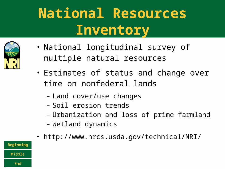
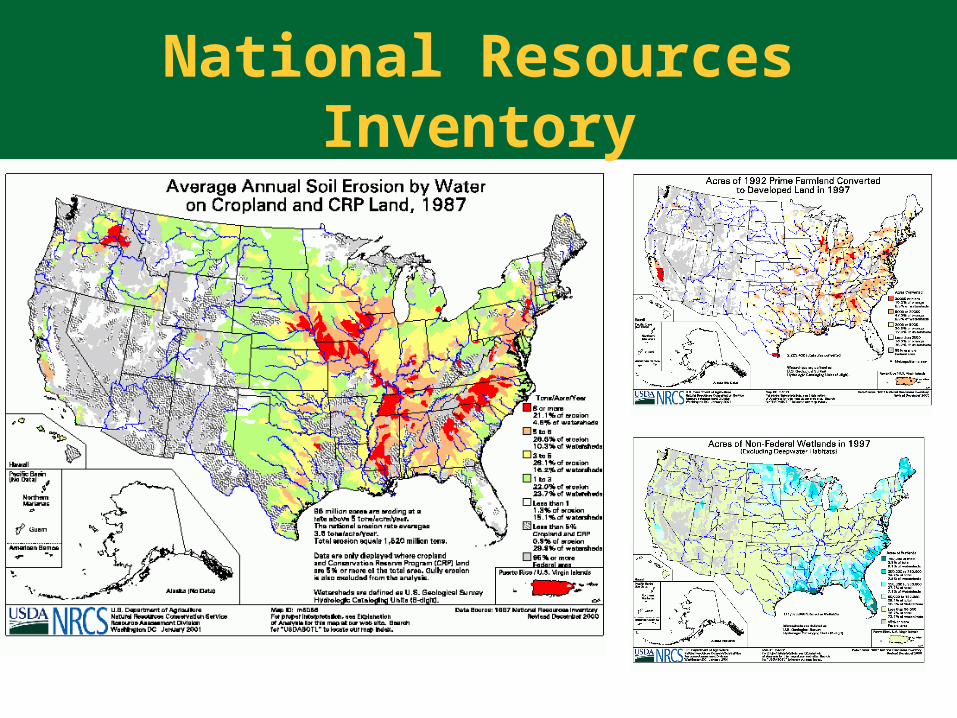
National Resources Inventory
• National longitudinal survey of multiple natural resources
• Estimates of status and change over time on nonfederal lands
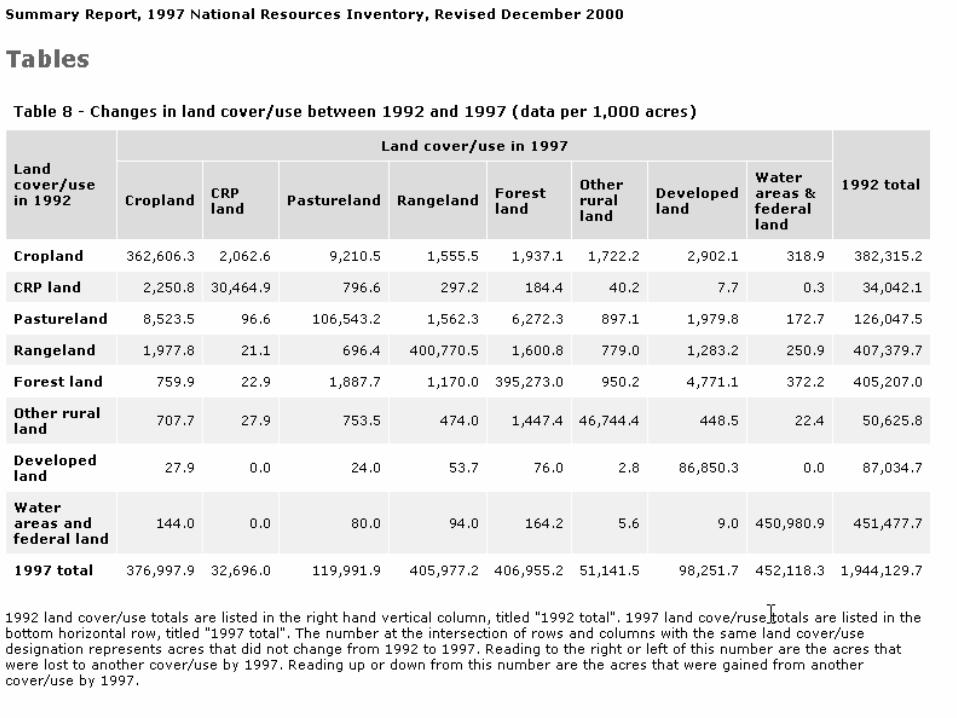
– Land cover/use changes– Soil erosion trends– Urbanization and loss of prime farmland– Wetland dynamics
• http://www.nrcs.usda.gov/technical/NRI/Beginning
Middle
End
National Resources Inventory
National Resources Inventory
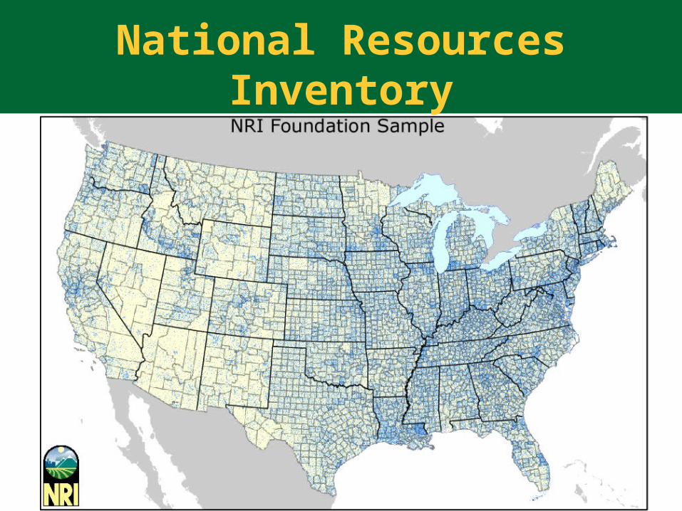
• > 300,000 area segments
– 160 acres each– 70,000 samples / year– Low altitude photography
Beginning
Middle
End
National Resources Inventory
National Resources Inventory
• 1/3 digital -- 2/3 analog
• > 18 gb of support data
– Federal land– Water– Sample location layers– Support imagery
Beginning
Middle
End
History
• ESRI Arc/Info coverage format
• Migrating toward ESRI SDE
• Oracle database for tabular data
• Changes/edits tracked with
paper
Beginning
Middle
End
Impetus
• NRI is a panel (time series) survey
– Tracks spatial data changes through time
• Federal land and water layers must
be updated annually
• File system-based solution is messy
and inflexible for time-series
geospatial dataBeginning
Middle
End
Impetus
• Must be able to interoperate
with existing Oracle data
• Campus licensing agreement
makes ESRI software a cost-
effective solutionBeginning
Middle
End
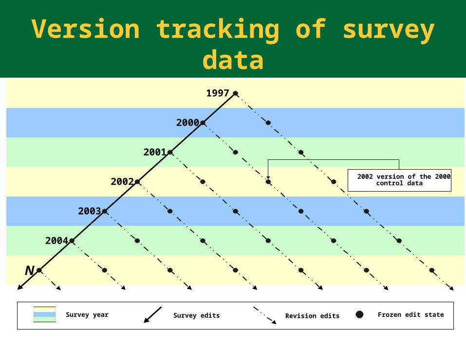
2001
Survey year Survey edits Revision edits Frozen edit state
1997
2000
2002
2003
2004
N
2002 version of the 2000control data
Version tracking of survey data
Why not PostGIS?
• PostGIS currently limited to
PostgreSQL
• Inertia of existing data in ESRI
formats is high
• Campus agreement
• No support for versions or edit states
Beginning
Middle
End
Why Python?
• Functionality required by NRI
only exists in the C API
• C API is complex, cryptic, and
obscures the task at hand
Beginning
Middle
End
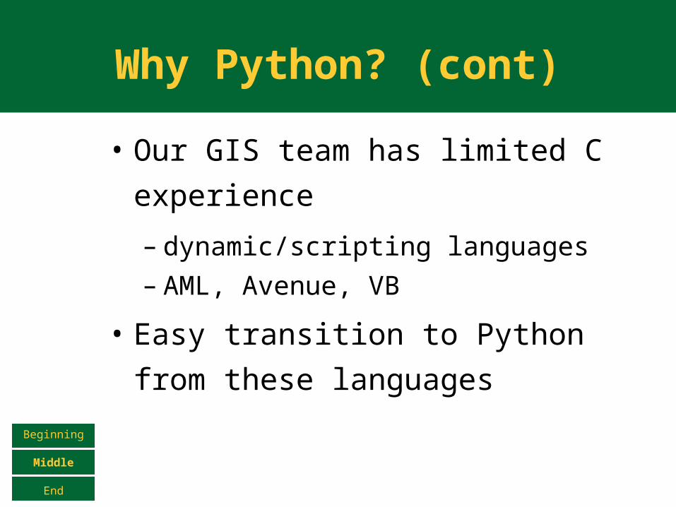
Why Python? (cont)
• Our GIS team has limited C
experience
– dynamic/scripting languages – AML, Avenue, VB
• Easy transition to Python from
these languages
Beginning
Middle
End
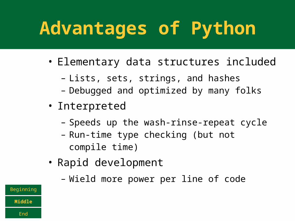
Advantages of Python
• Elementary data structures included
– Lists, sets, strings, and hashes– Debugged and optimized by many folks
• Interpreted
– Speeds up the wash-rinse-repeat cycle– Run-time type checking (but not compile
time)
• Rapid development
– Wield more power per line of codeBeginning
Middle
End
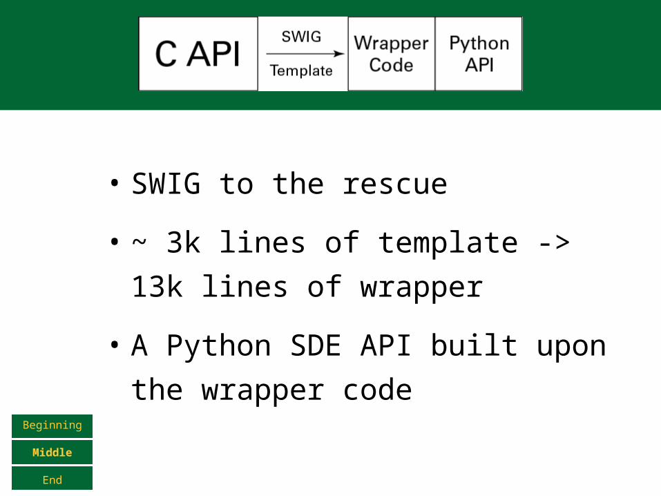
• SWIG to the rescue
• ~ 3k lines of template -> 13k
lines of wrapper
• A Python SDE API built upon the
wrapper codeBeginning
Middle
End
Why not just the wrapper?
• ESRI changes APIs frequently – changes at the C level don’t have to be reflected at the Python level
• Allows for coherent exception handling and error reporting
• Allows for add-ons like Python DB-API 2.0 and pyshapelib support to be developed in PythonBeginning
Middle
End
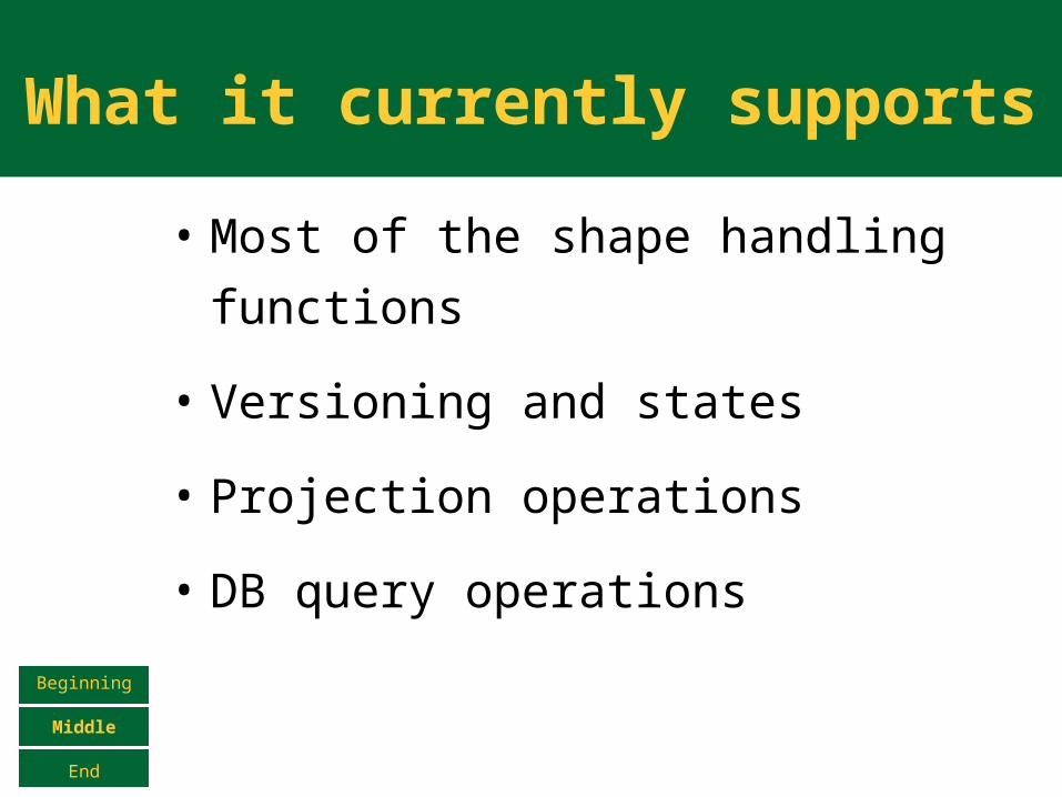
What it currently supports
• Most of the shape handling
functions
• Versioning and states
• Projection operations
• DB query operations
Beginning
Middle
End
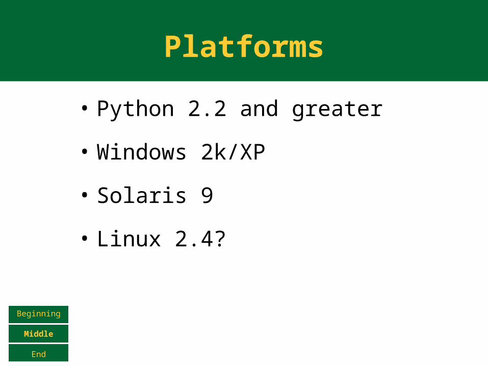
Platforms
• Python 2.2 and greater
• Windows 2k/XP
• Solaris 9
• Linux 2.4?
Beginning
Middle
End
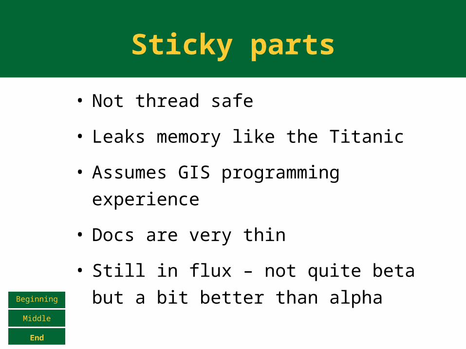
Sticky parts
• Not thread safe
• Leaks memory like the Titanic
• Assumes GIS programming
experience
• Docs are very thin
• Still in flux – not quite beta but a bit
better than alphaBeginning
Middle
End
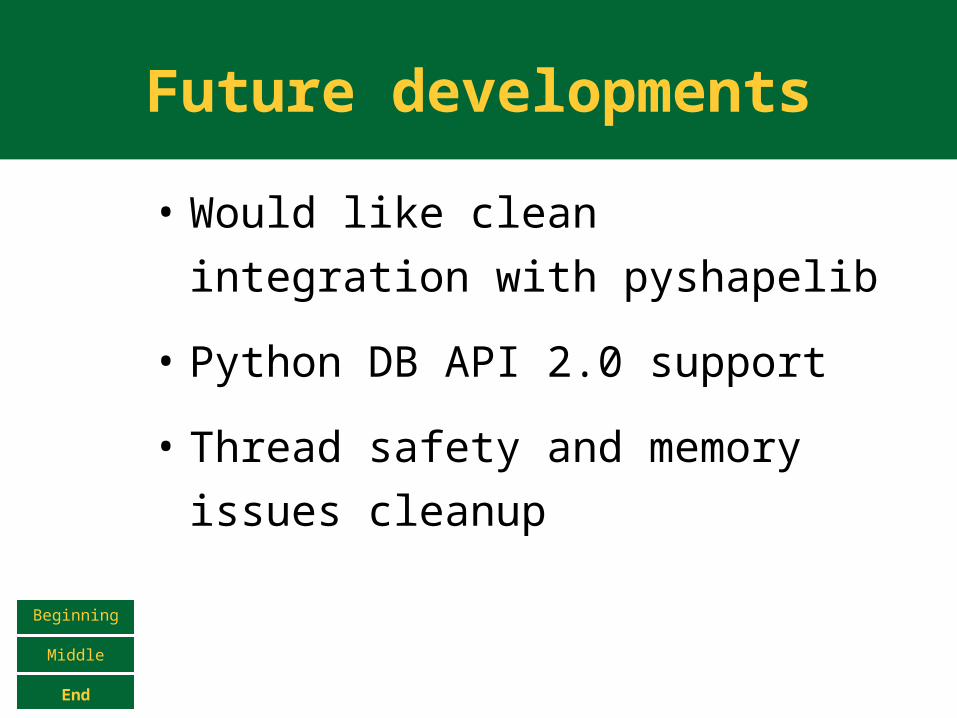
Future developments
• Would like clean integration with
pyshapelib
• Python DB API 2.0 support
• Thread safety and memory
issues cleanup
Beginning
Middle
End
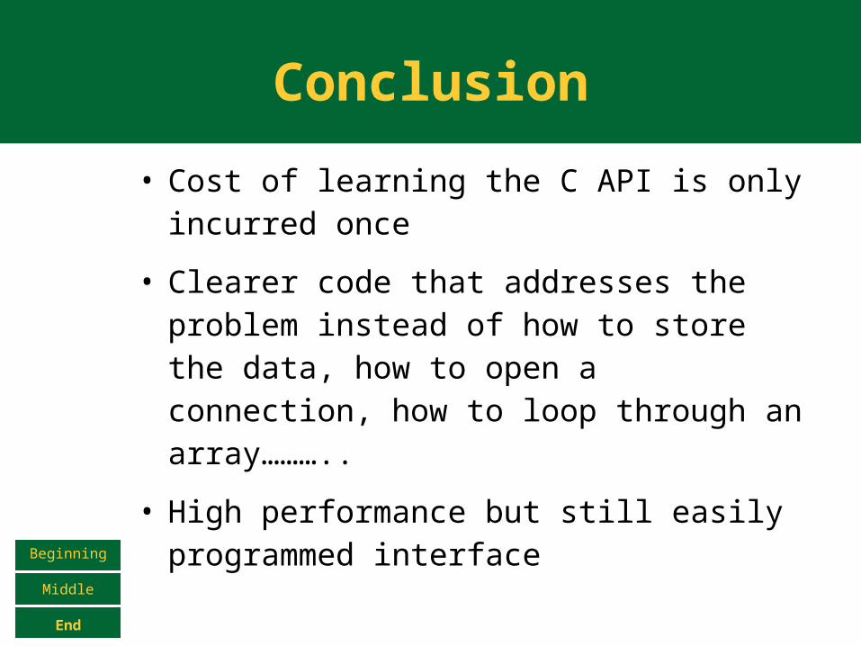
Conclusion
• Cost of learning the C API is only incurred once
• Clearer code that addresses the problem instead of how to store the data, how to open a connection, how to loop through an array………..
• High performance but still easily programmed interfaceBeginning
Middle
End
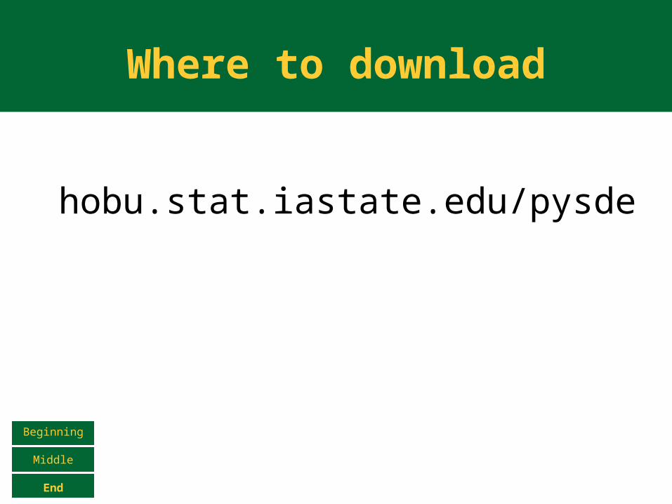
Where to download
hobu.stat.iastate.edu/pysde
Beginning
Middle
End